Week 29: Wickenburg, AZ to Nothing, AZ

After passing out on the side of the road after a 48-mile day, you would think that I would be excited about reaching the end. Taco Comfort Solutions (a main sponsor besides Ransome Multimedia) was sending a dude to meet me with a bottle of Dom, take me out for dinner, and give me a ride back to Vegas where they had booked me a room at the Rio. Very exciting stuff, I know. I should have been elated by this incredible end, but at the time it did not feel that way.

I told them I would shoot to be at the finish line on Wednesday at 6 pm, and I still had around 70 miles to go. I was tired. I could brush it off and not mention it, sound like I was ‘Tommy Tuff Nuts’ but, truly, I was beat. The pace, my body and the same types of food had worn me down. I was close and I knew it, but there just wasn’t much left in the tank.

Roadwalking is fine, I’ve done a lot of it, but it can be boring. Maybe that’s why so many thru-hikers skip them. It’s easy to know your distance and pace but, after 6,800+ miles, it seemed to have a crazy way of exposing the parts of your body that have just been barely holding on. In my case, feet, shoulder, back and knees. Did I say knees? Yeah, knees.

There’s wasn’t anything I could do about the pain, so I ran. My pack was light. I was out of water, low on food and ready to end this thing. It was going to hurt anyway, so I figured running most of the last 5 miles wouldn’t matter.

As I crested the hill, I saw the “Nothing” billboard, and a rental car pull into the parking lot, then the trunk popped, and a bottle of Dom came out of it; it hit me. Not in the way that you think. Not in the way thru-hikers are moved to cry at a monument or dance or whatever. It was more… I don’t know, relief. Rescued from it in a weird way. I realized I didn’t have to worry anymore. Not about time, pace, food, water, weather, or terrain.

I knew that by tagging that sign and hopping into the air-conditioned car I was headed back to the safety of the regular world and its guarantees: get food when I’m hungry, grab an extra jacket when I’m cold, go inside when the weather isn’t good. Predictability, routine, and schedules; the struggle was over.

I did it my way. It wasn’t always perfect, but I got it done. The Great Western Loop in under 200 days. Someone once told me it was my dream. I corrected them and said it was the ultimate challenge.

A special thanks to Dallas and Mayra, from Ransome Multimedia; they are my backbone. Always there. Always helping and always supporting me. My friends and family and my incredible sponsors. Todd Facey, from Taco Comfort Solutions, spearheaded the financial support. Taco doesn’t usually sponsor thru-hikers (not many companies do financially) but this man believed in me, in the message I was trying to convey, and made things happen. I was so lucky for having had their support, and for Todd. Thank you!!!

Eastern Mountain Sports (EMS) took great care of me. They heard me on the SLASR podcast, understood I’m not a huge social media person, but knew that I work with my feet and not with my thumbs. All the miscellaneous gear I needed, they got me. Things while I was hiking, they were there.  Incredible!!!

Levi “Bed Head” and Grant “Gusha”, from Nashville Pack, are solid dudes. That is the one piece of gear that becomes a part of you, and they are making the best! Keep crushing it guys!!!

Darn Tough socks hooked me up with 17 pairs of their lightweight gems. It’s the go-to sock, and anyone that hikes knows that. Thank you!!!

In the end, they were right, completing the Great Western Loop was a dream and, amazingly enough, it came true.

34.8 miles per day was my average. Wrapping my head around that will definitely take some time.


Great Western Loop

Nothing, Arizona – Nothing, Az

6,875.5 miles

197 days 11 hours 12 minutes 17 seconds.

34.8 mpd


This Hiker Just Completed the 6,800-Mile Great Western Loop in Less than 200 Days


Week 28: Hermit Basin, Grand Canyon, AZ to Wickenburg, AZ

Total Mileage:  266.9


The Tonto Trail inside the Grand Canyon is rugged. Looking at the map, it reminds me of an earthquake needle. Back and forth, zigzagging alongside canyons that jut off from the Colorado River. As the crow flies, it would be about 25 miles, but it’s over 40. There is no signage; the only indications of the trail are small rock cairns.

I had to be careful while walking because the trail is right along the cliff walls at times, and because I didn’t download the right maps, it was hard to tell the exact location. Night hiking through this terrain, trying to navigate using only little rock piles, was tough.

It was warm in the canyon, but the views were spectacular! Slow going and tough. I scooped water out of puddles pooled up in the canyons. I would hike for a mile or 2 along the Colorado River, then hike 2 or 3 miles away from it, cross the canyon at a shallow spot and head back 2-3 miles toward the Colorado again. This is how it went for a day and a half.

I made it to the South Bass Trail, and it led me out of the canyons up steep terrain. By 3 pm I was out. 300 miles of various types of roads is the only thing separating me from the end of this thing!

I plotted a course using various jeep and dirt roads of approximately 100 miles to get to Seligman, AZ. The only water in this section was out of cattle ponds. Brown and sketchy, but my only option.

After a 47.7-mile day I arrived in Seligman. Exhausted, and with everything closed in this small town, the owner of the Route 66 motel, Wendy, gave me a Rubbermaid of fresh chicken stew she had just made. I ate the hell out of that, showered and died.

I had a late start the next day, with a huge breakfast at the local greasy spoon. Dallas and I plotted a course, and I was heading south. It was only 70 or so miles back to Nothing, AZ, but I needed the total miles of 6,875 to consider this loop complete. So, the route will go south, to west, to northeast to north, coming back up to where I started over 6 months ago.


Week 27: Broody Seep Trail Junction, AZ to Hermit Basin, Grand Canyon, AZ

Total Mileage:  269.5


I woke up at 4 am with a fire under my ass. Not actually, but it was cold, and I probably wouldn’t have minded it.

On the move by 5 am, I needed a big week. I was just shy of 43 miles to Pine, AZ and I needed to get there by the end of the day. I had very little battery life left, and I wanted to charge my stuff overnight instead of taking 3 hours the next day to do it. Two birds with one stone was the name of the game.

The hiking was tough, a lot of uphills. I met an older guy named “Cheese it” on the trail who said it was mostly downhill for me from there. Not sure what “Cheese it” was putting in his juice that the morning, but the trail was anything but downhill.

I kept pushing; 20 miles, 30, 35, 40. I arrived at the highway to Pine at midnight. I then walked 2 miles into town. I found an outlet outside of a laundromat and plugged my stuff in, laid my pad and sleeping bag out, and fell asleep on the side of the road, hidden by some bushes.

The next morning, I resupplied, had a big breakfast, and was back at the trail by 9 am. Knocked out a 34.2-mile day. The following day a 40.3 to make it to the Saloon at Mormon Lake, get my resupply box with my 13th and final pair of shoes, and have a Ribeye steak dinner, courtesy of another fellow Looper named “Phish”, who was there to meet me. We hung out for a bit; he gave me some intel on the section coming up, and I pitched my tent close by, next to a jeep road.

I had 37 miles to do today to make it to the REI in Flagstaff before they closed at 8 pm. I desperately needed new shorts. I was tired of the whole western United States catching a glimpse of my left ass cheek flapping in the breeze. I made it. Barely. I had no desire to deal with laundry, so I just bought a new pair of socks instead.

My good friend Levi’s dad, Steve, lives in Flagstaff; he picked me up and took me to a killer Mexican restaurant. He then dropped me off at my motel and brought me back to the trail in the morning.

It was a cruiser section from here and I was able to get 41.5 for the day. I was in a large open meadow, and the next morning the wind was whipping and it began to snow. I was one layer short of being reasonably comfortable but, as it stood, I had to continue to push hard and stay warm. I got 41.7 in for the day.

After 20 miles the next day, I made it to Tusayan, AZ. I resupplied at the general store and the prices they charged for things were borderline criminal: $9.49 for a thing of Oreos! Cigarettes were cheap, though.

I had 6 miles to make it to Grand Canyon Village and the ranger station to get my permit for the park. It was 2 pm and the ranger station closes at 5. As I was applying mustard to my microwaved “Big AZ” chicken sandwich, a woman walking by asked if I was doing the Arizona Trail. I said yes, but no, and briefly explained the loop. Her name was Jen Hogen, and she’s a ranger in the park. She was able to get me a permit over the phone and help me figure out logistics through the Park, the Tonto Trail, and the South Bass Trail.  She saved me a bunch of time, gave me a map, and pointed me in the right direction where I didn’t have to walk the 8 (not 6) miles to the Grand Canyon Village. Thank you, Jen!!!

After doing everything I needed to do, I crammed in another 11 miles for the day, getting down into the Canyon, which was significantly warmer than up above. Ending the day with a 32.9. this week was hard, but I got the weather window I needed and an easy trail.

I may just pull this crazy thing off after all…


Week 26: Indian Spring Canyon, AZ to Broody Seep Trail Junction, AZ

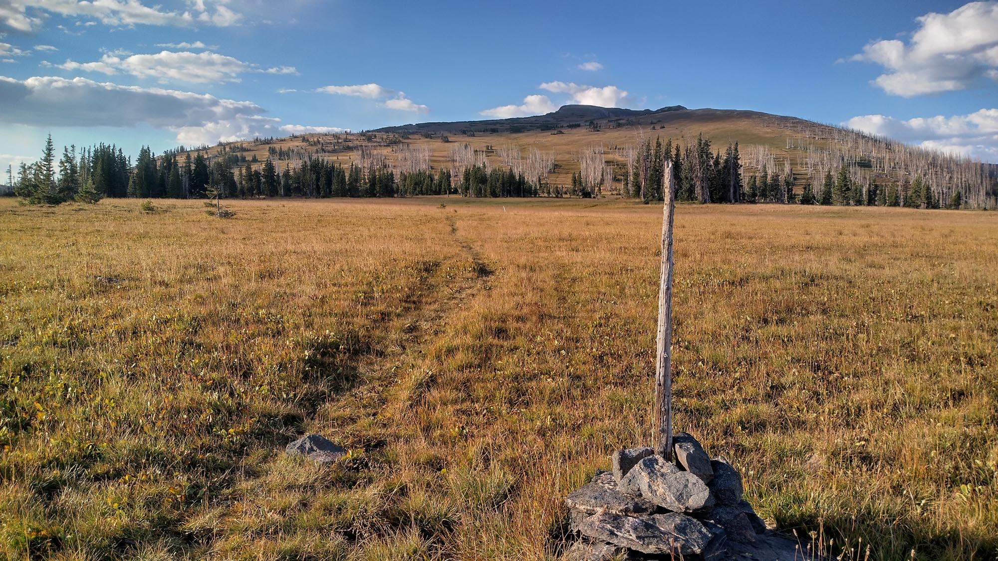
Total Mileage:  240.8


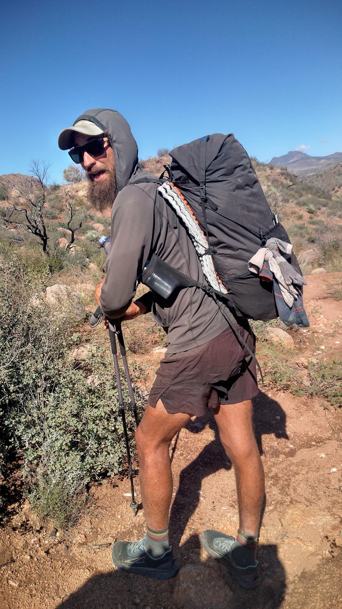
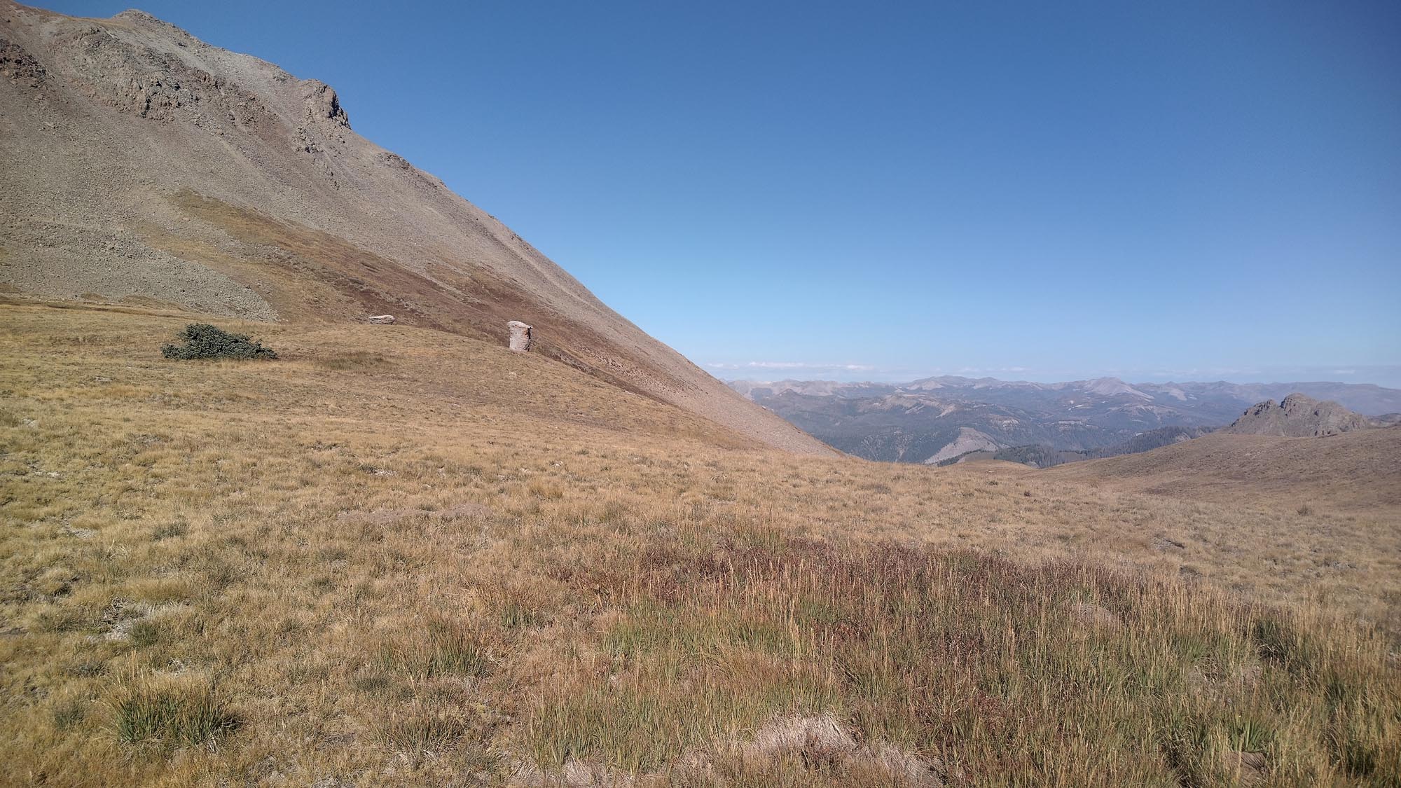
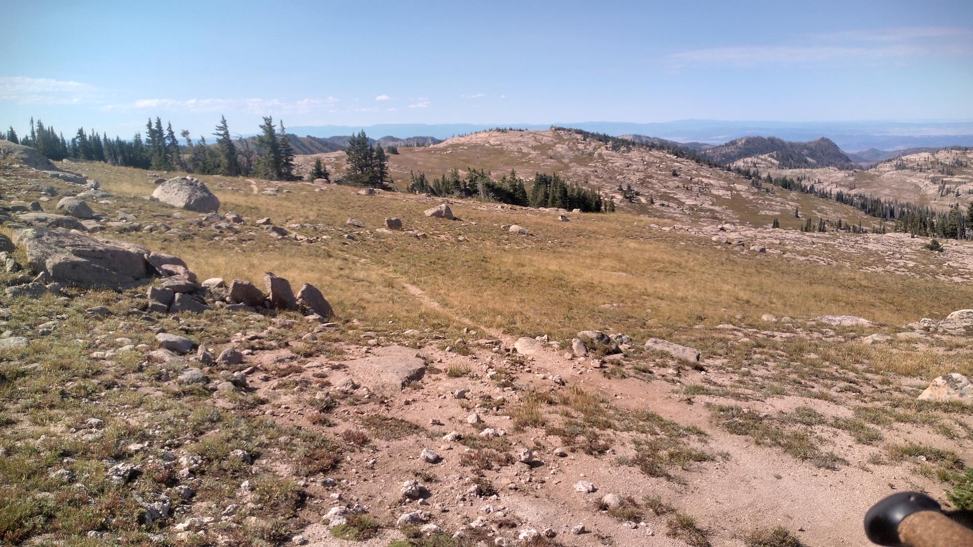
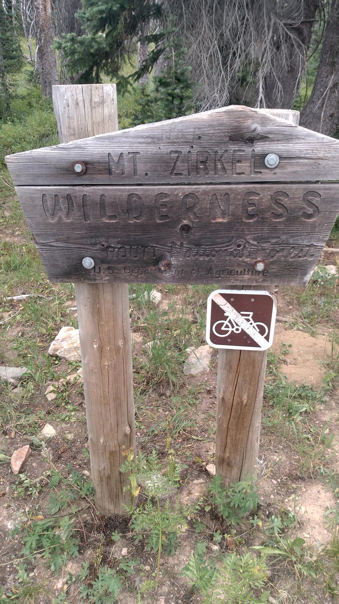
I needed to have a solid week, something close to my average of 245. First, I had to finish the G.E.T. I knew a 30-mile day would be tough in this terrain. All I could do was my best.

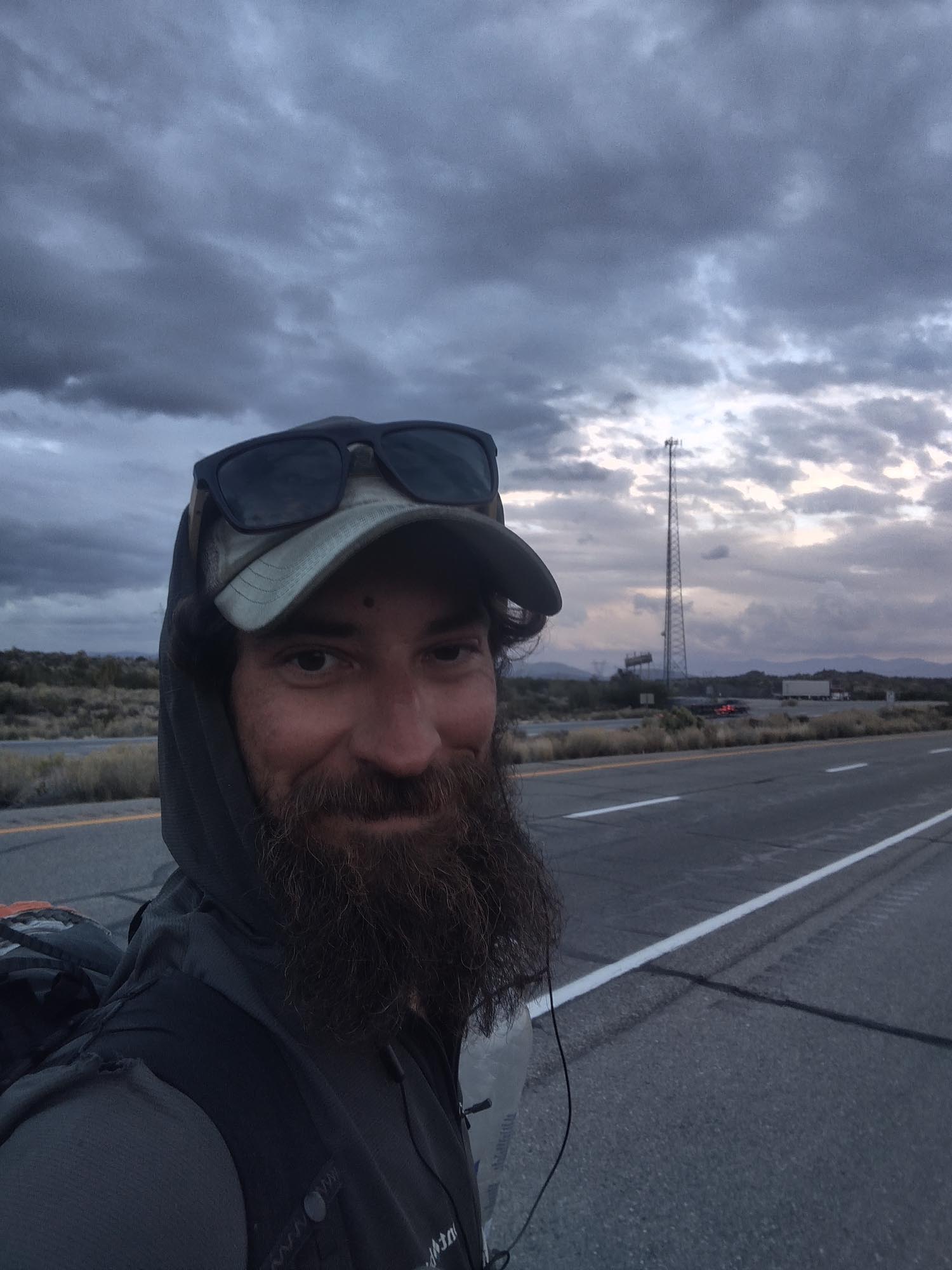
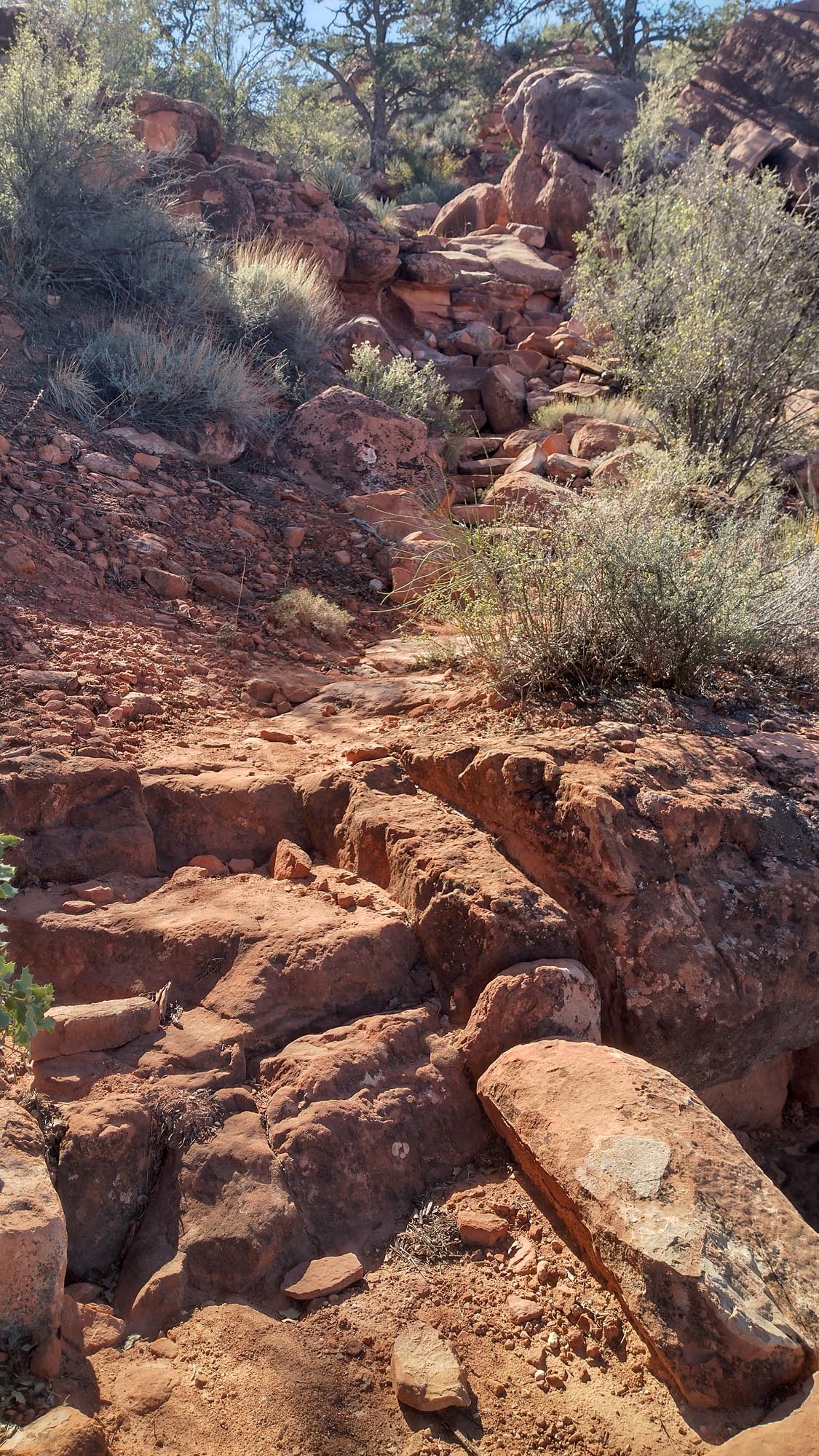
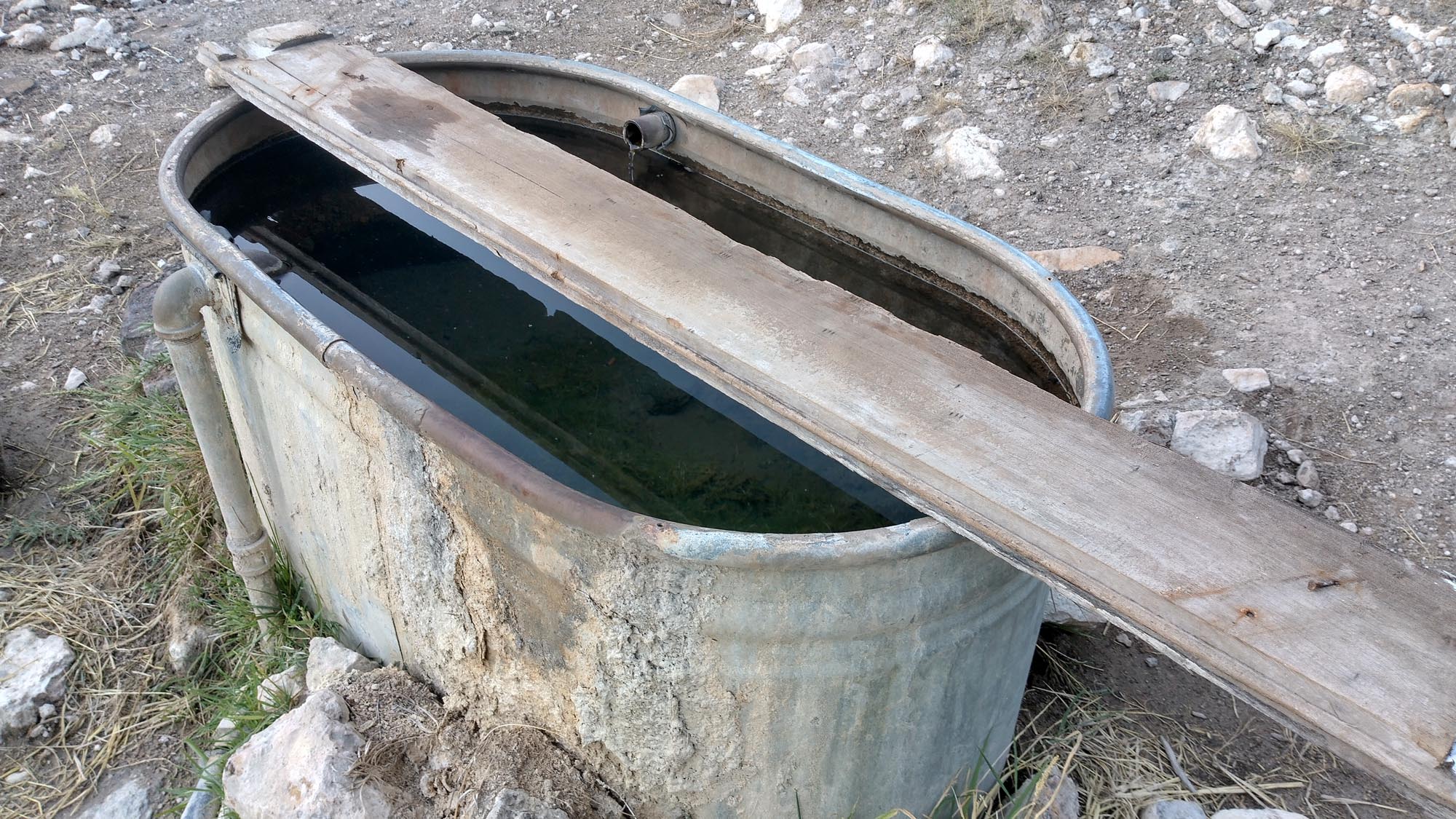
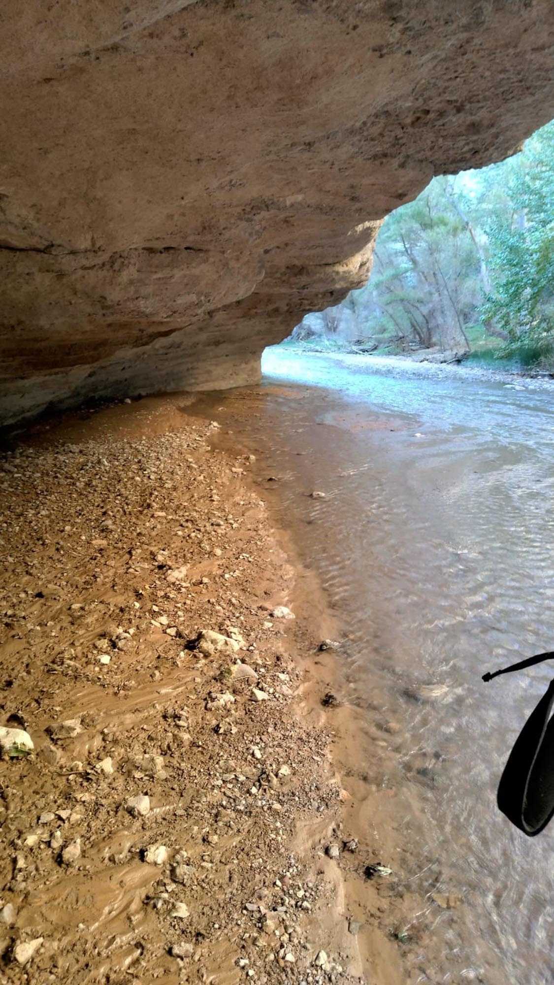
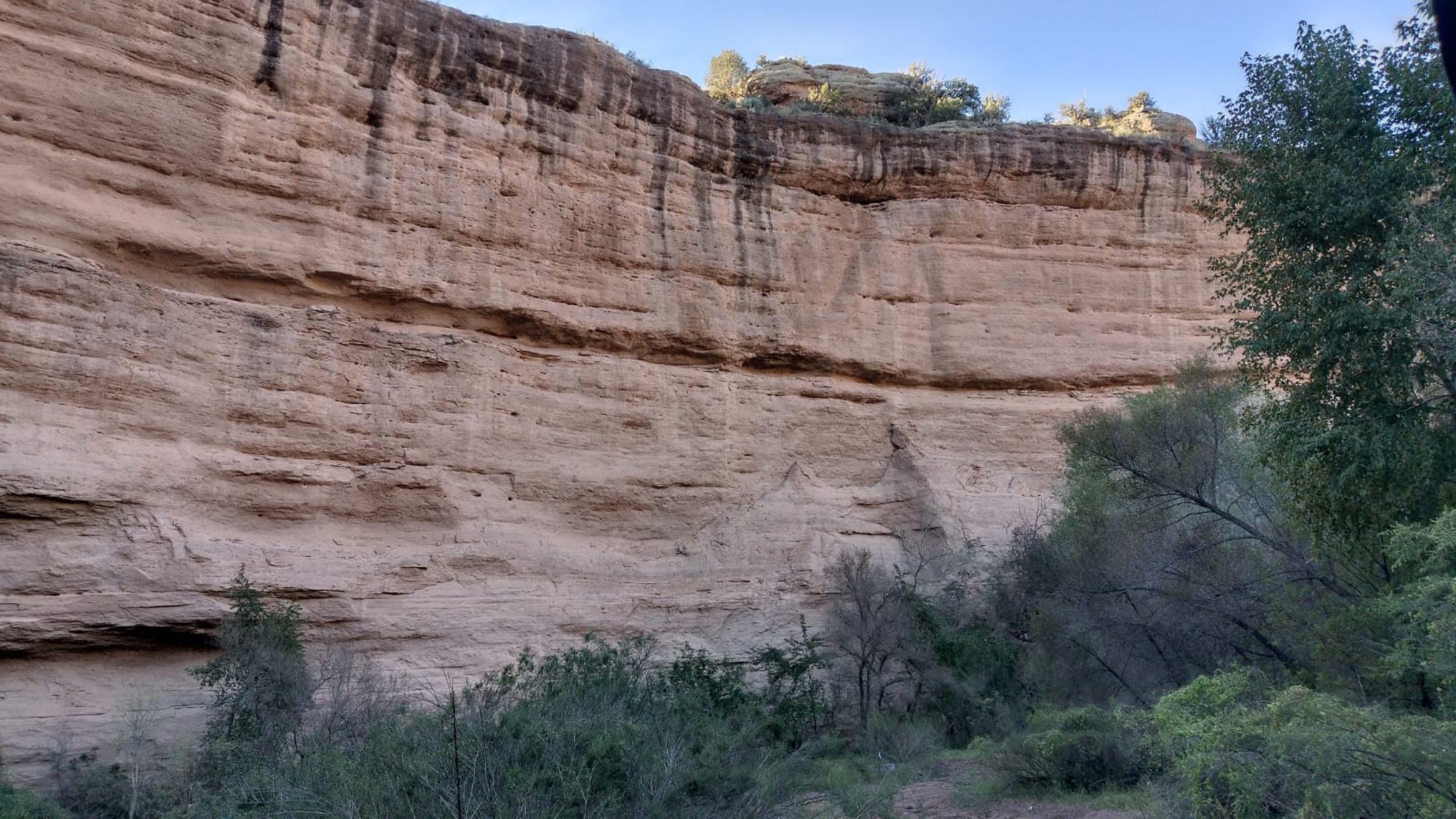
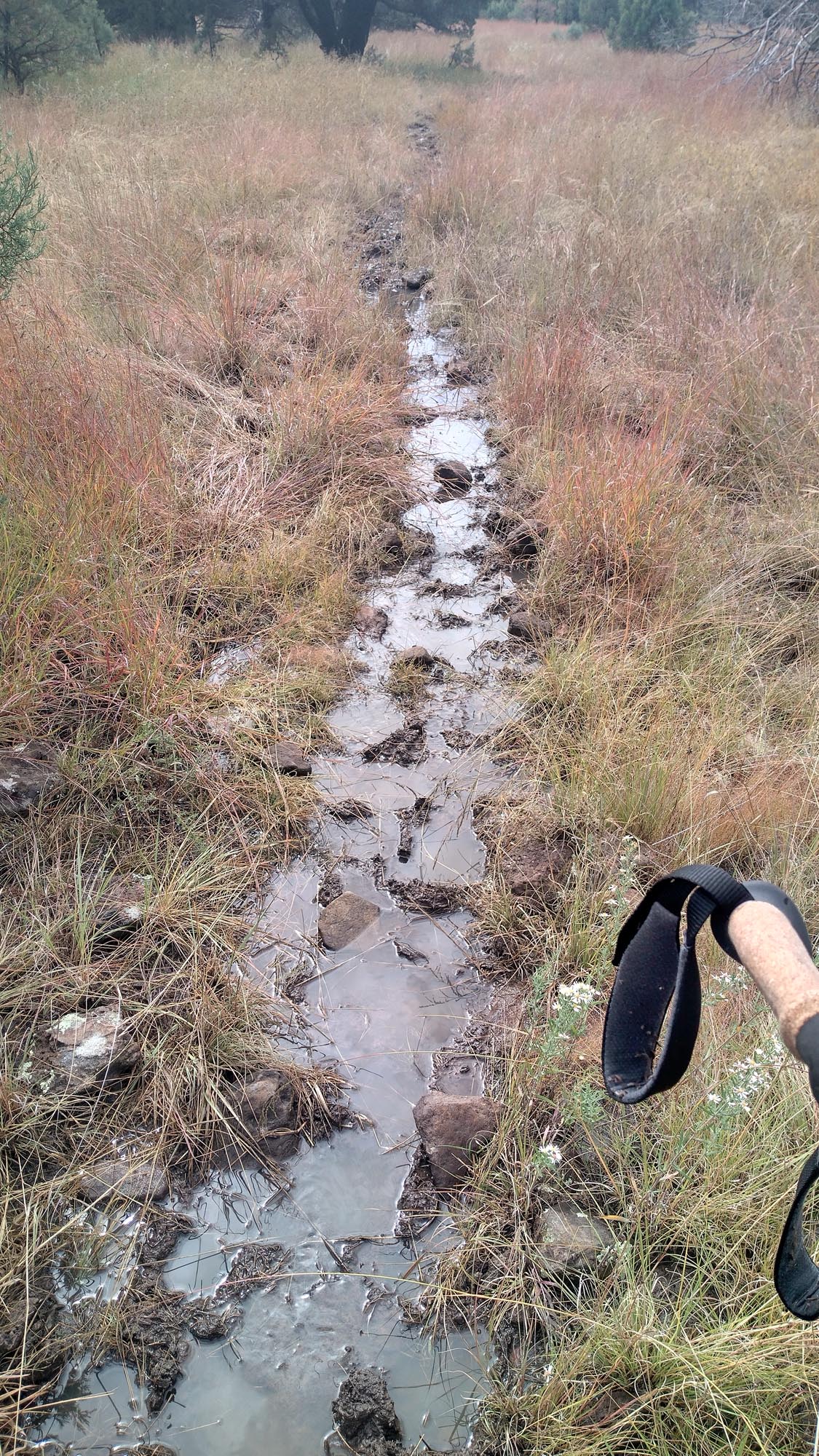
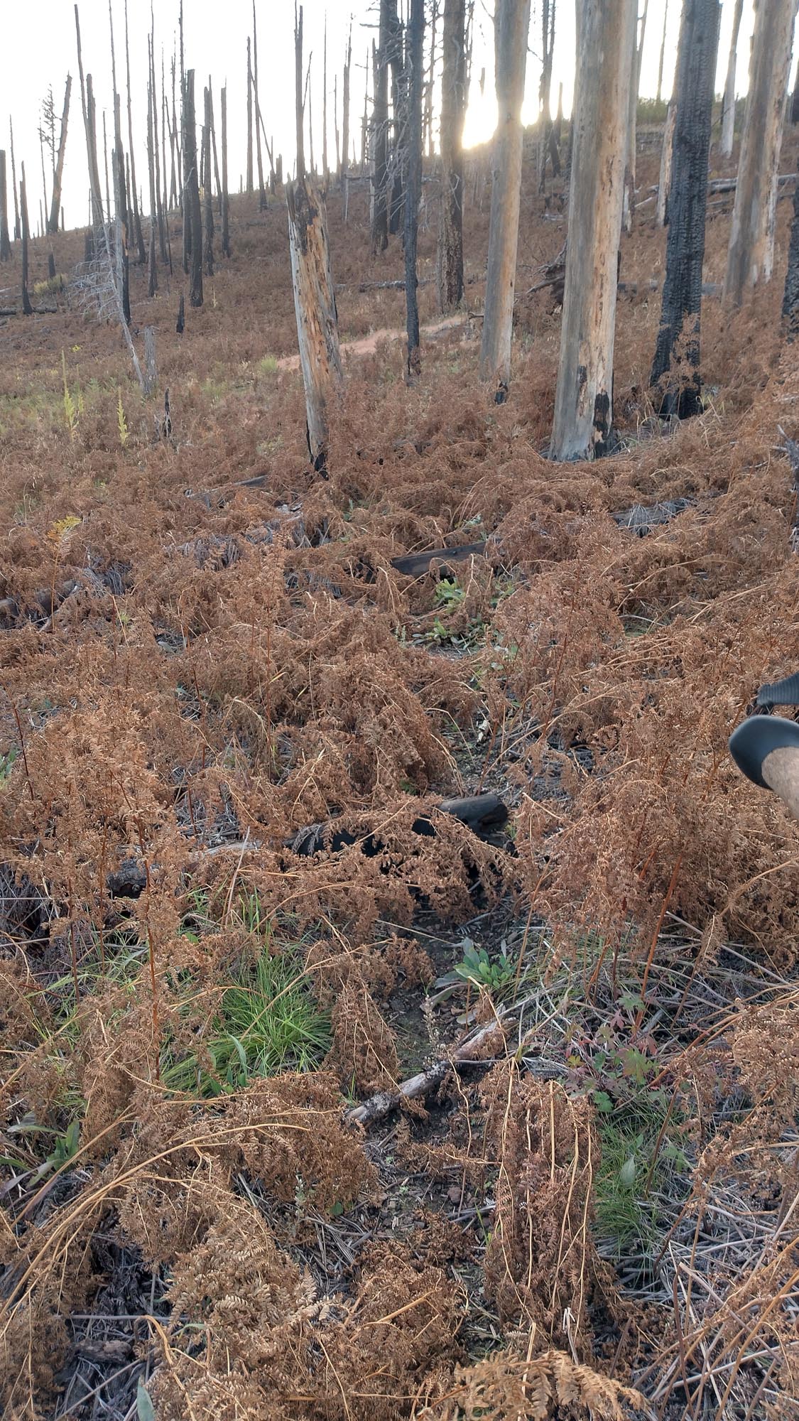
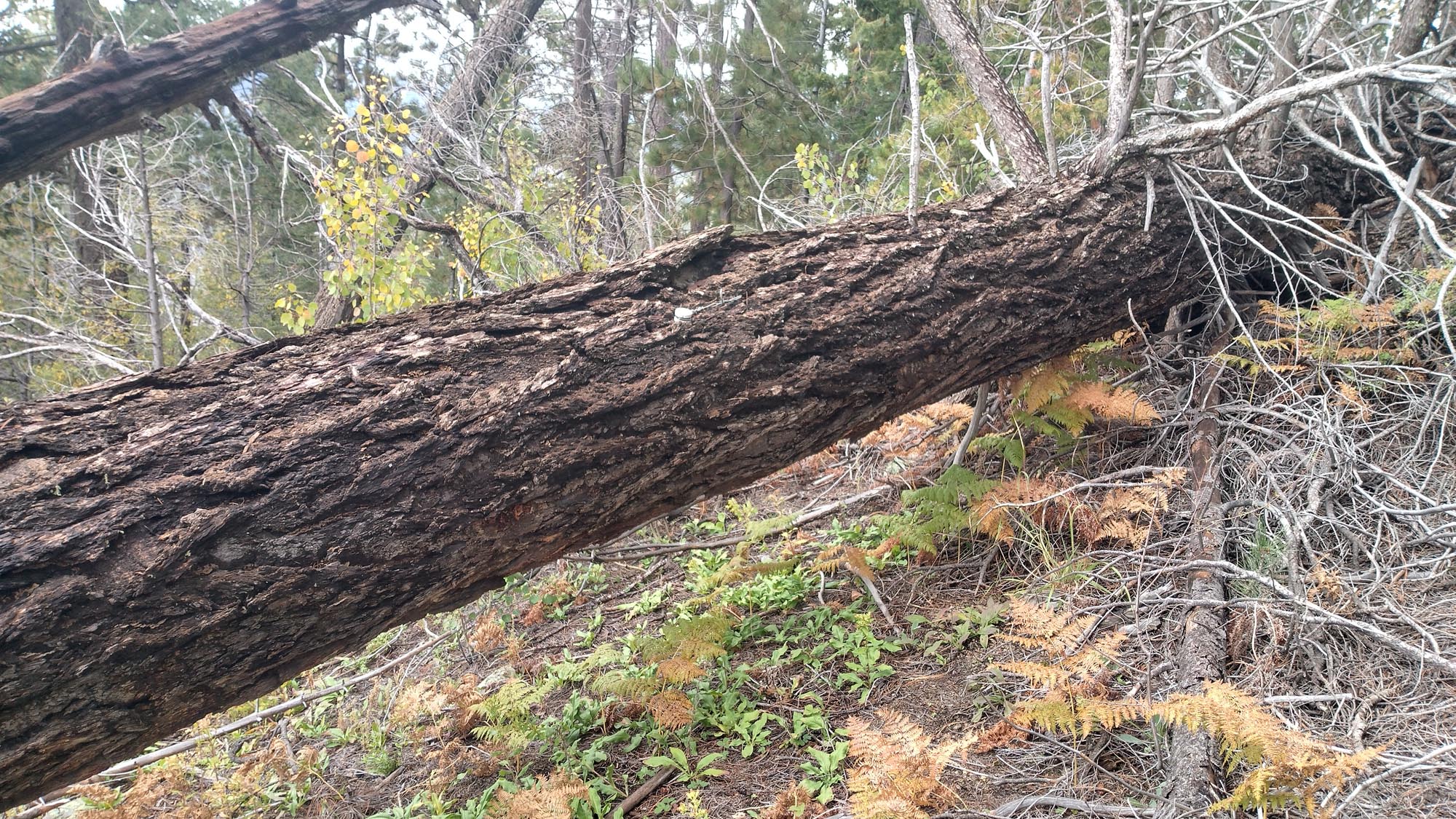
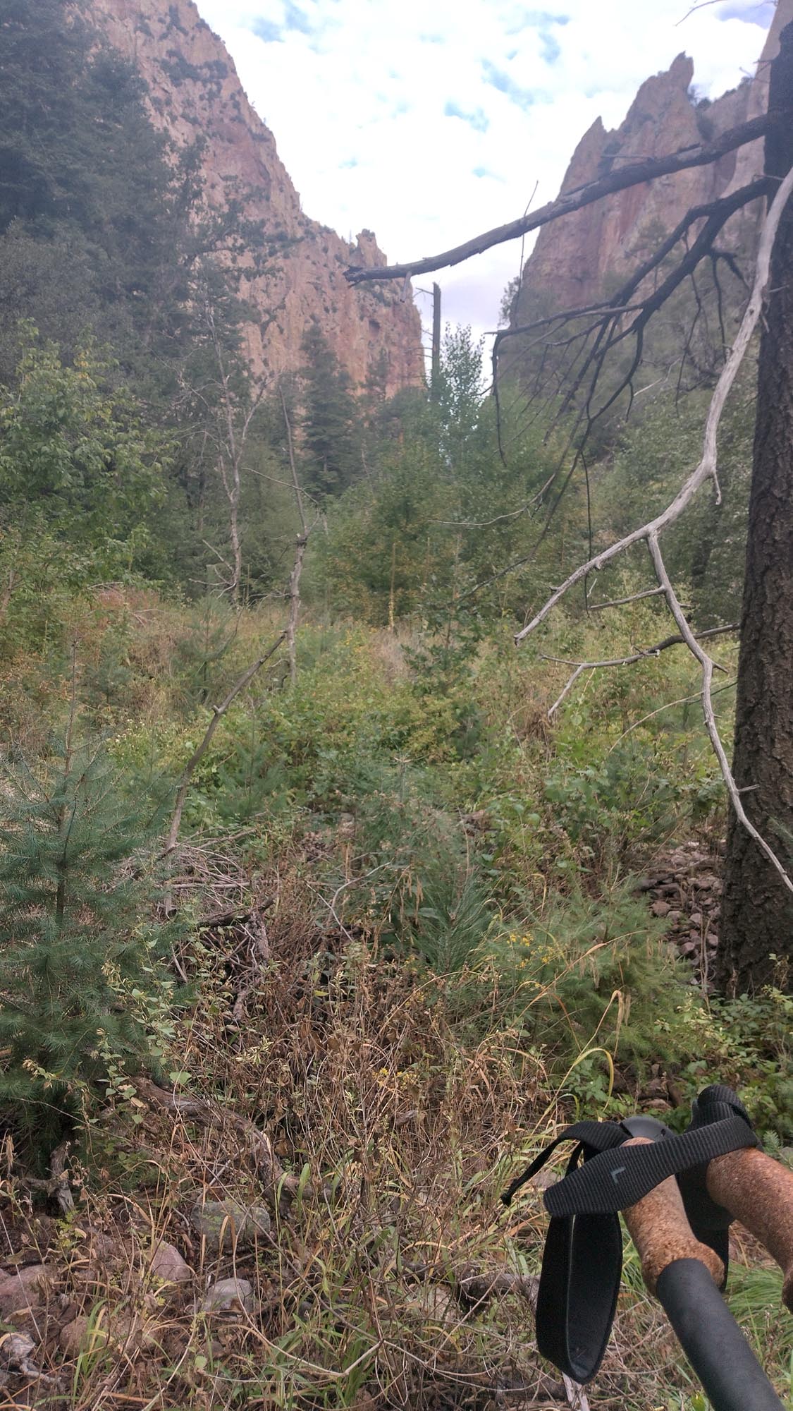
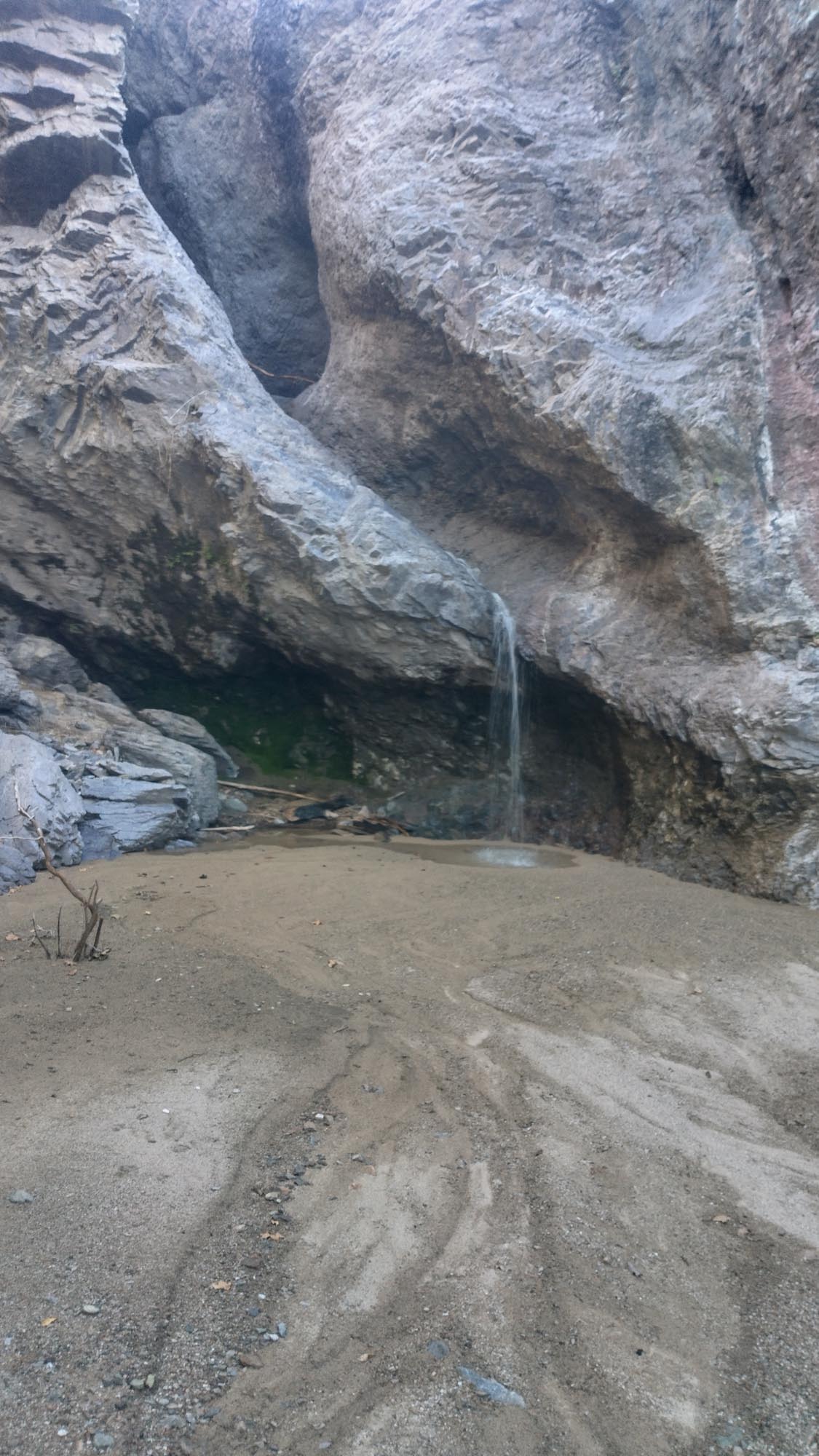
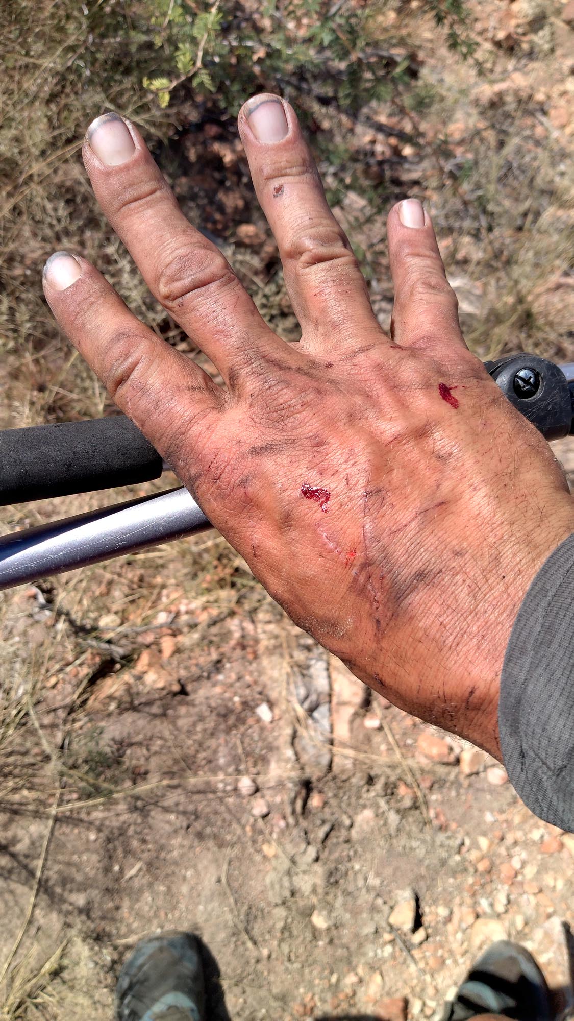
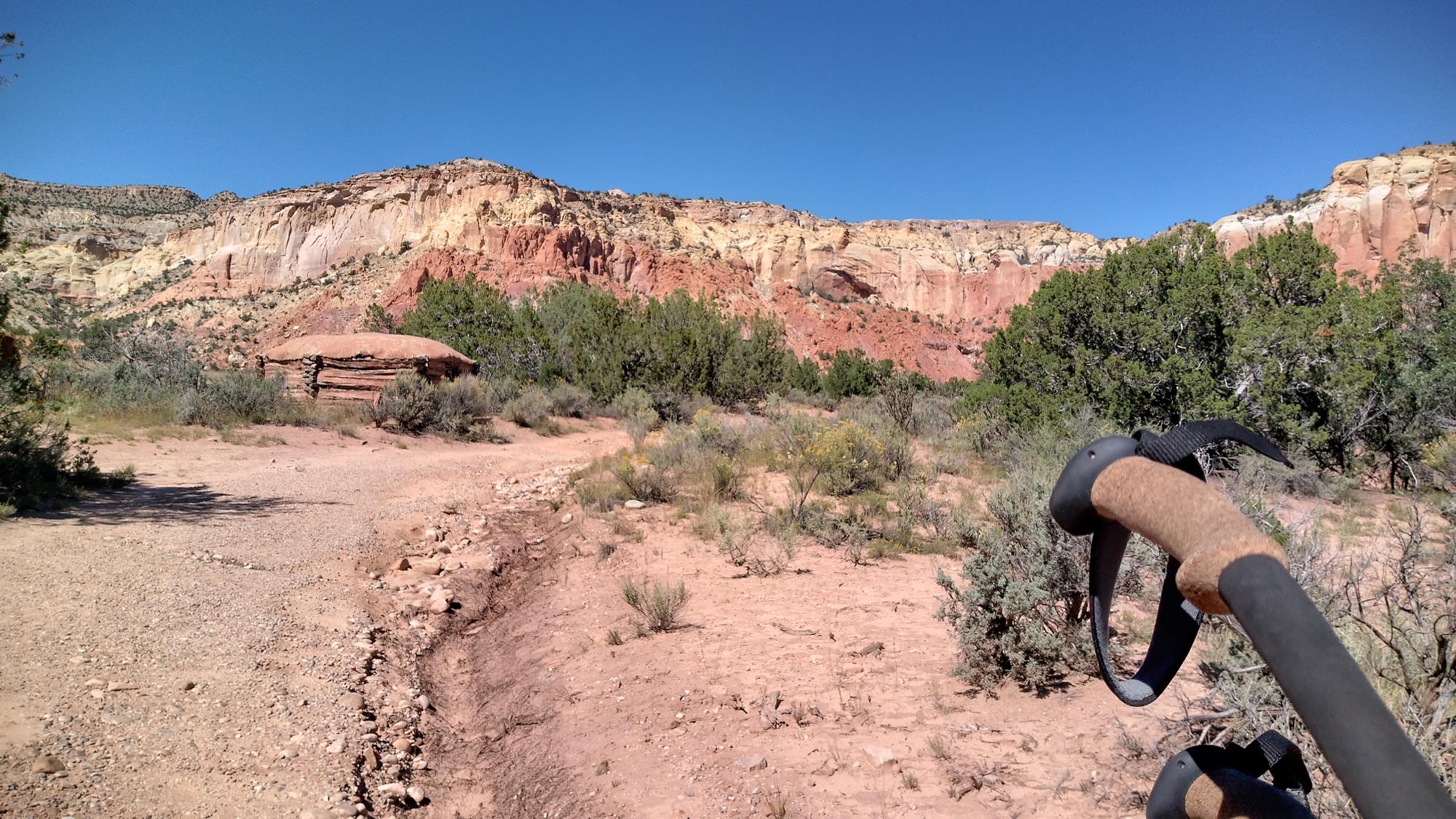
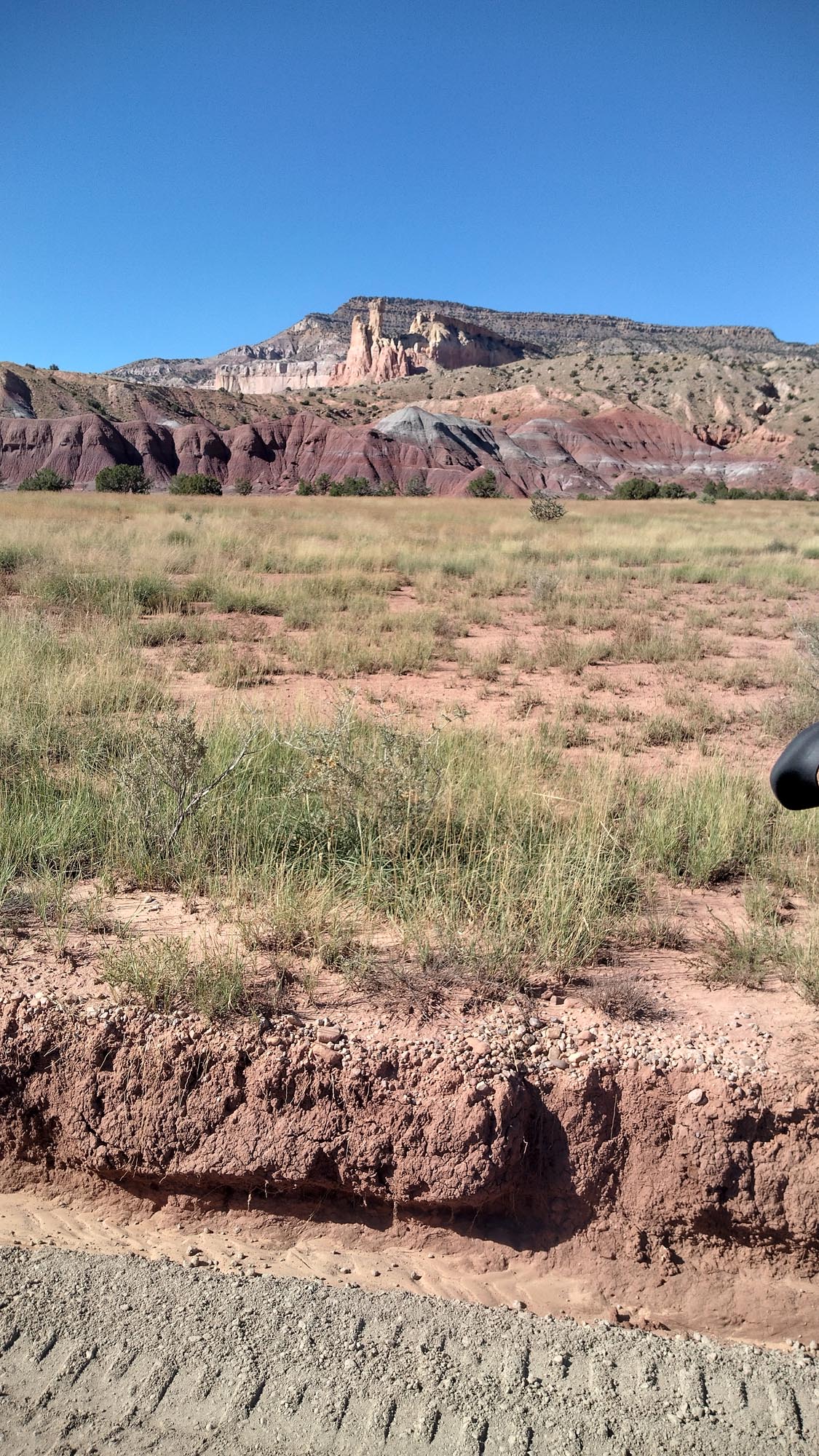
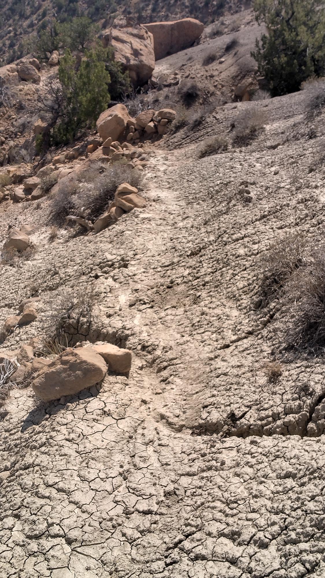
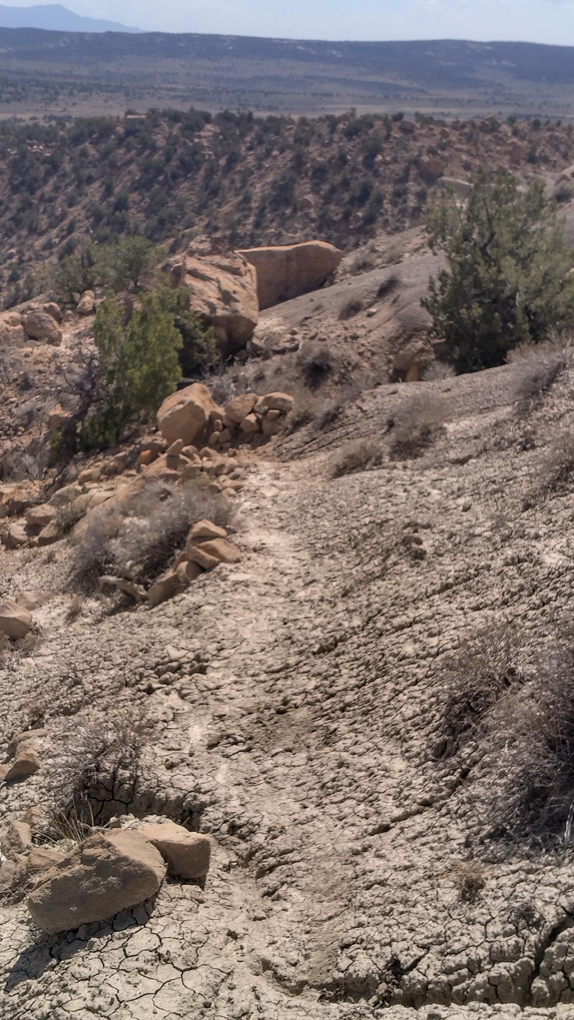
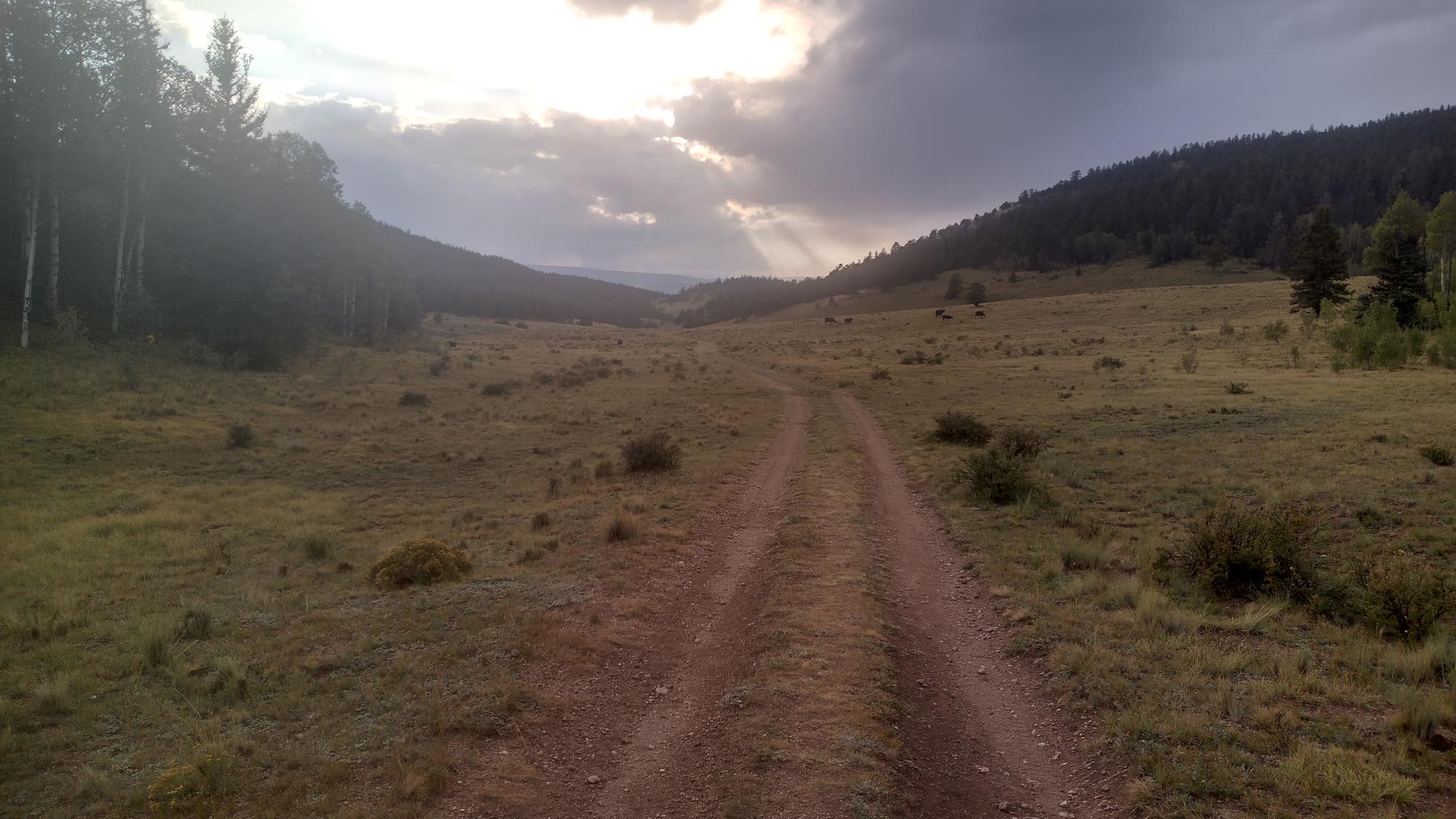
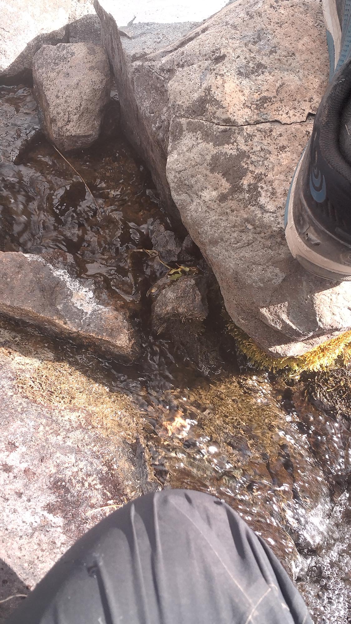
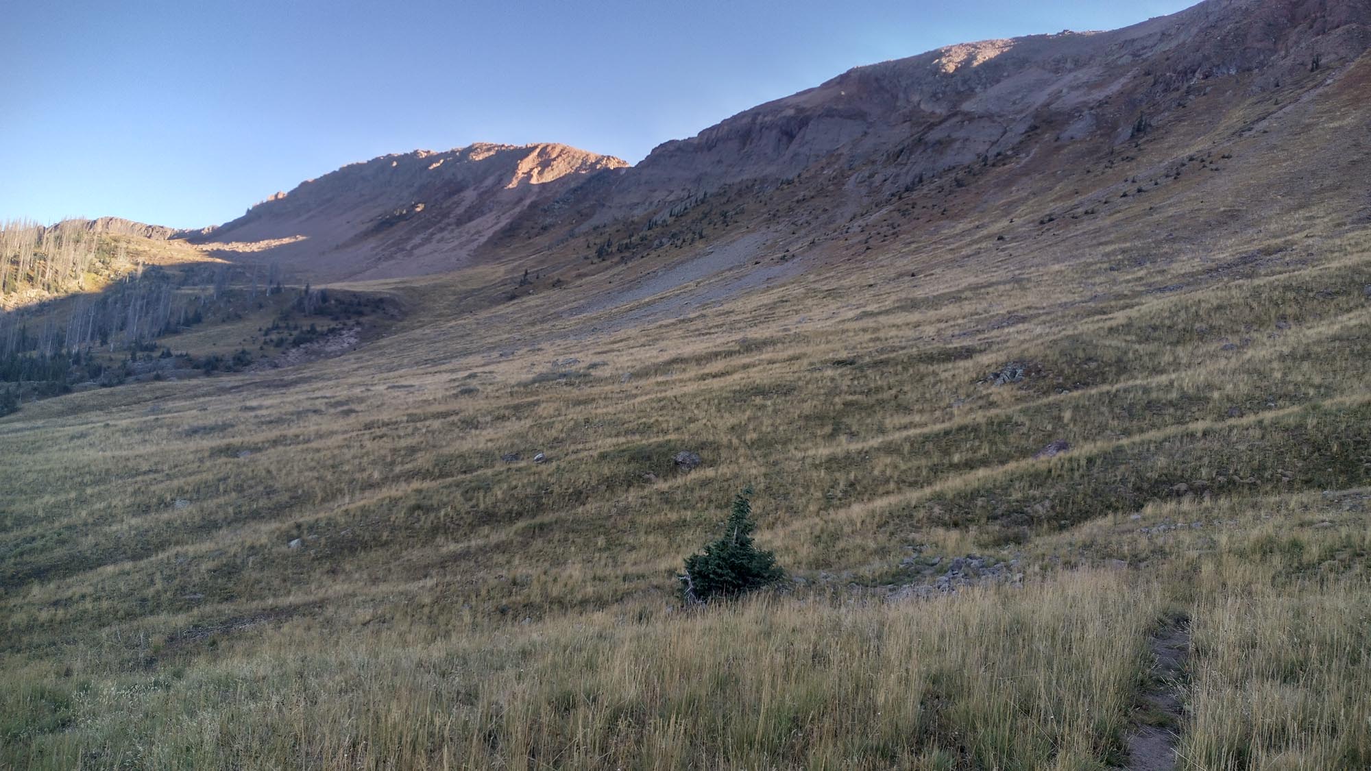
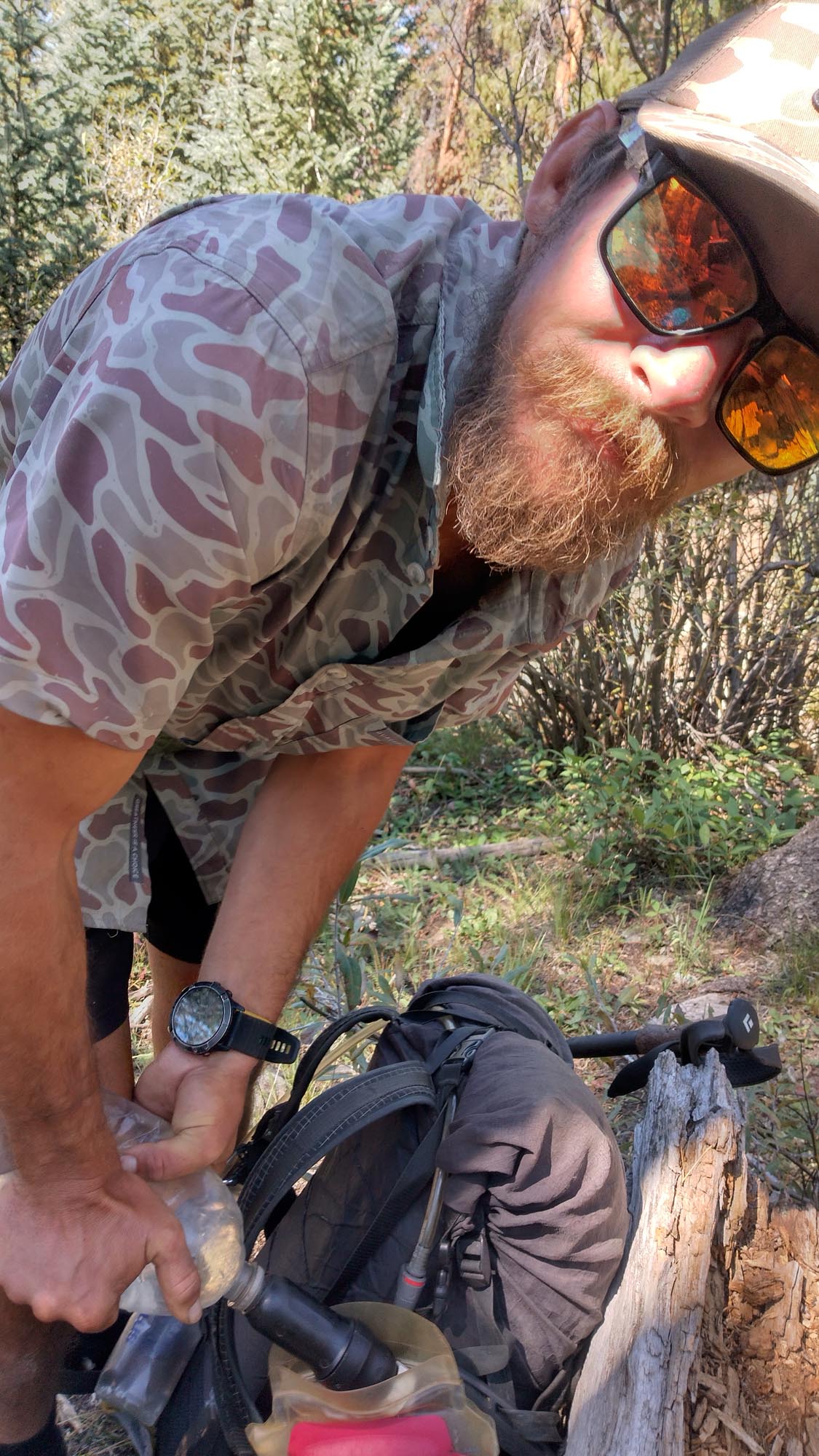
On the trail at 5:30 am, I followed jeep roads for a bit and then I was on it. More bushwhacking, scrapes, and cuts. BRAMBLES! Eventually I made it to a canyon, which I followed for quite a while. It had a river flowing through it, so I didn’t have to worry about water. At one point I stepped off a rock and my entire leg sunk into the sand all the way up to my hip. My foot was straight down, and if I pulled too hard, I would have lost my shoe. It took 5 minutes of working my leg back and forth as the water flowed passed me to get my leg out. After that episode, I walked.

A few minutes later, I wondered how much longer I had in this canyon. Turns out I had missed a turn .3 miles back and I wasn’t even supposed to be there. Walking in quicksand, I backtracked. Found the route, lost it, found it, lost it. I tried to cut across and bushwack to get back, but it seemed I just kept making it harder for myself. I had to stop and re-evaluate my situation.

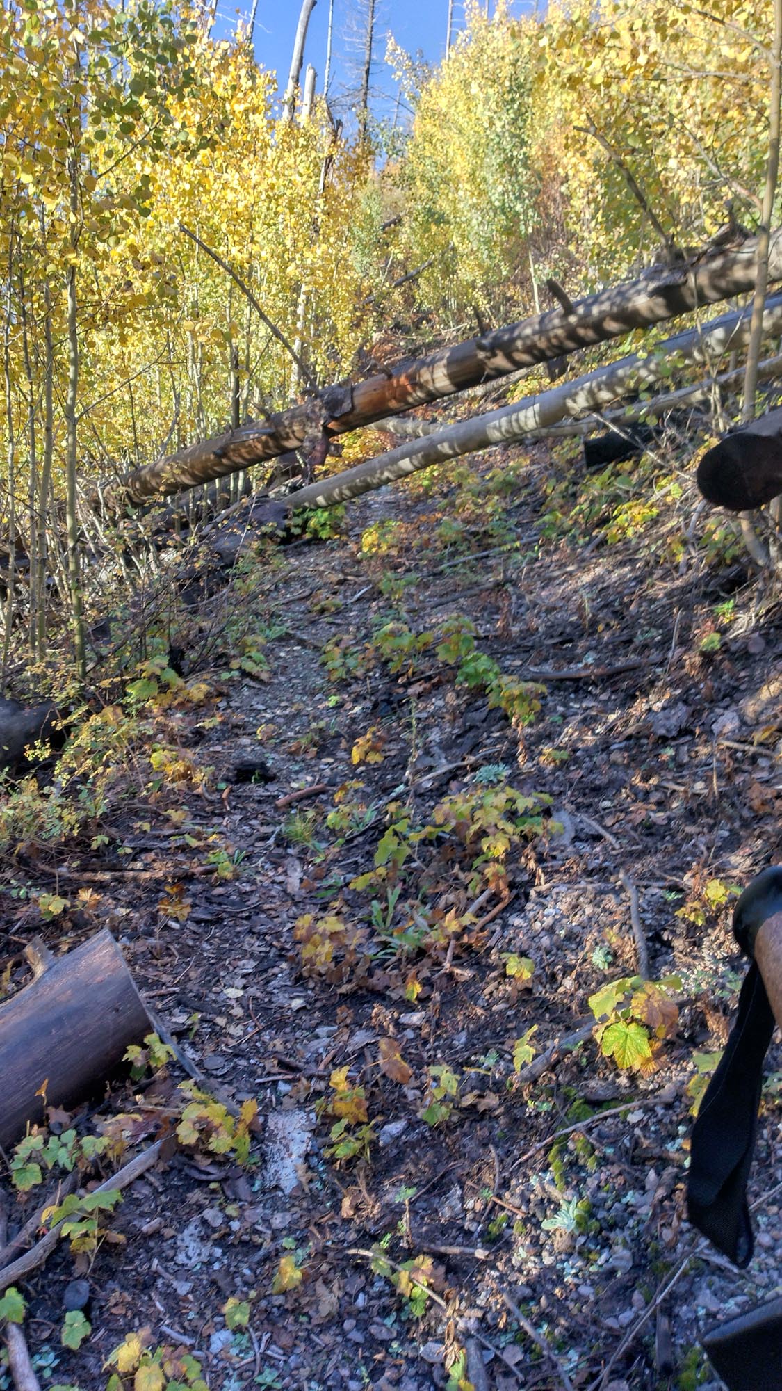
First off, 35-mile days were out, I knew that. The harder I pushed to try and make up what I felt I had lost, the harder the trail pushed back. I had to change my game plan. If I missed a turn, I would backtrack to where I missed it, no more cutting-up-and-over shenanigans. I would keep my phone out and follow the line as I went, instead of assuming I was on the right path. And I would also slow down and just go at a consistent pace without getting frustrated at losing time. It’s hard to swallow your pride a lot of the time, especially after 6,000 miles, but when you have to change, you have to change.

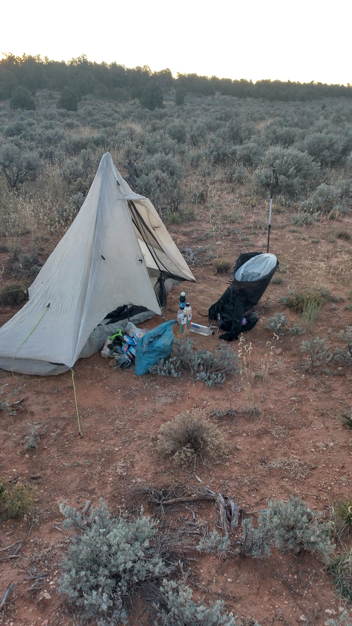
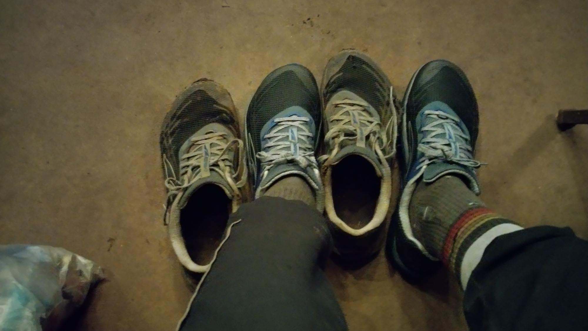
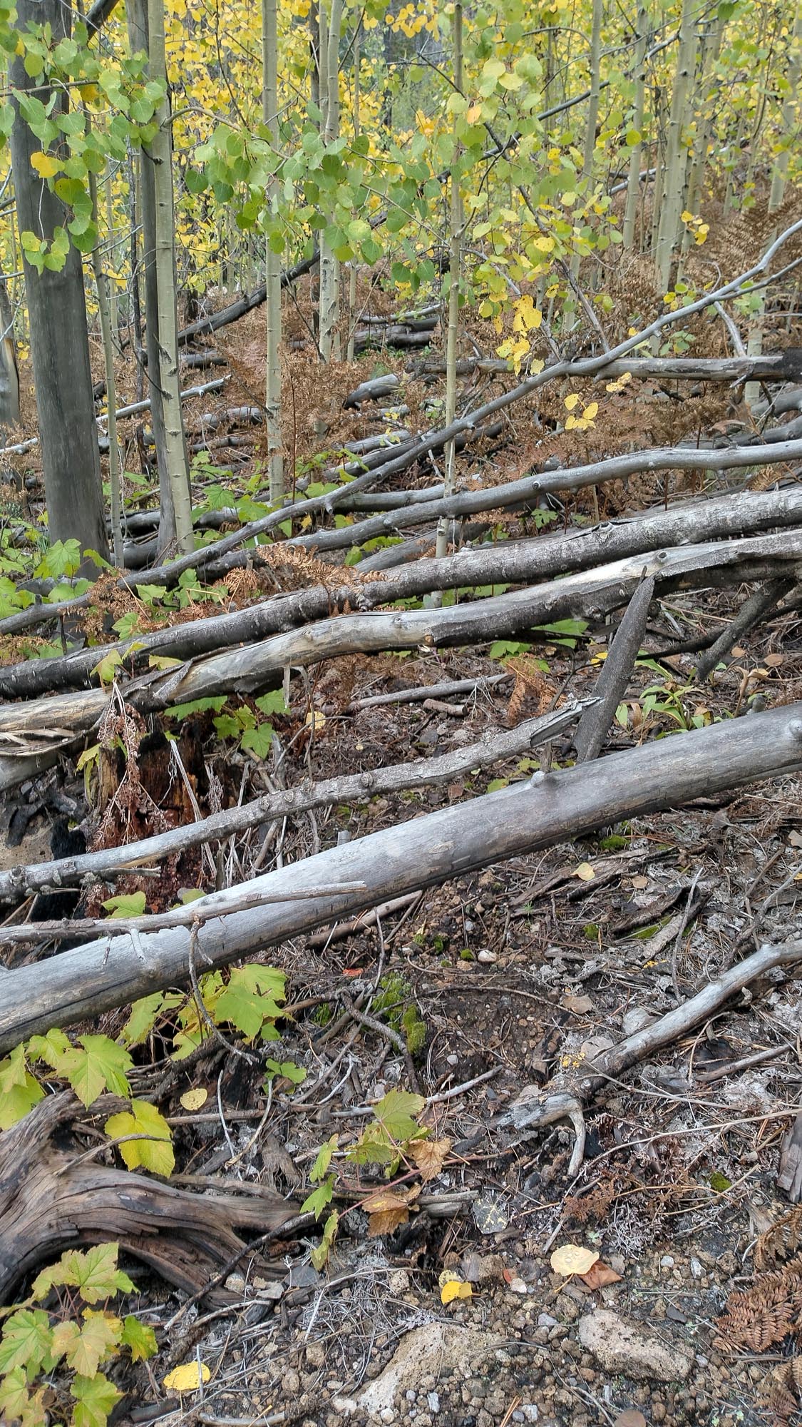
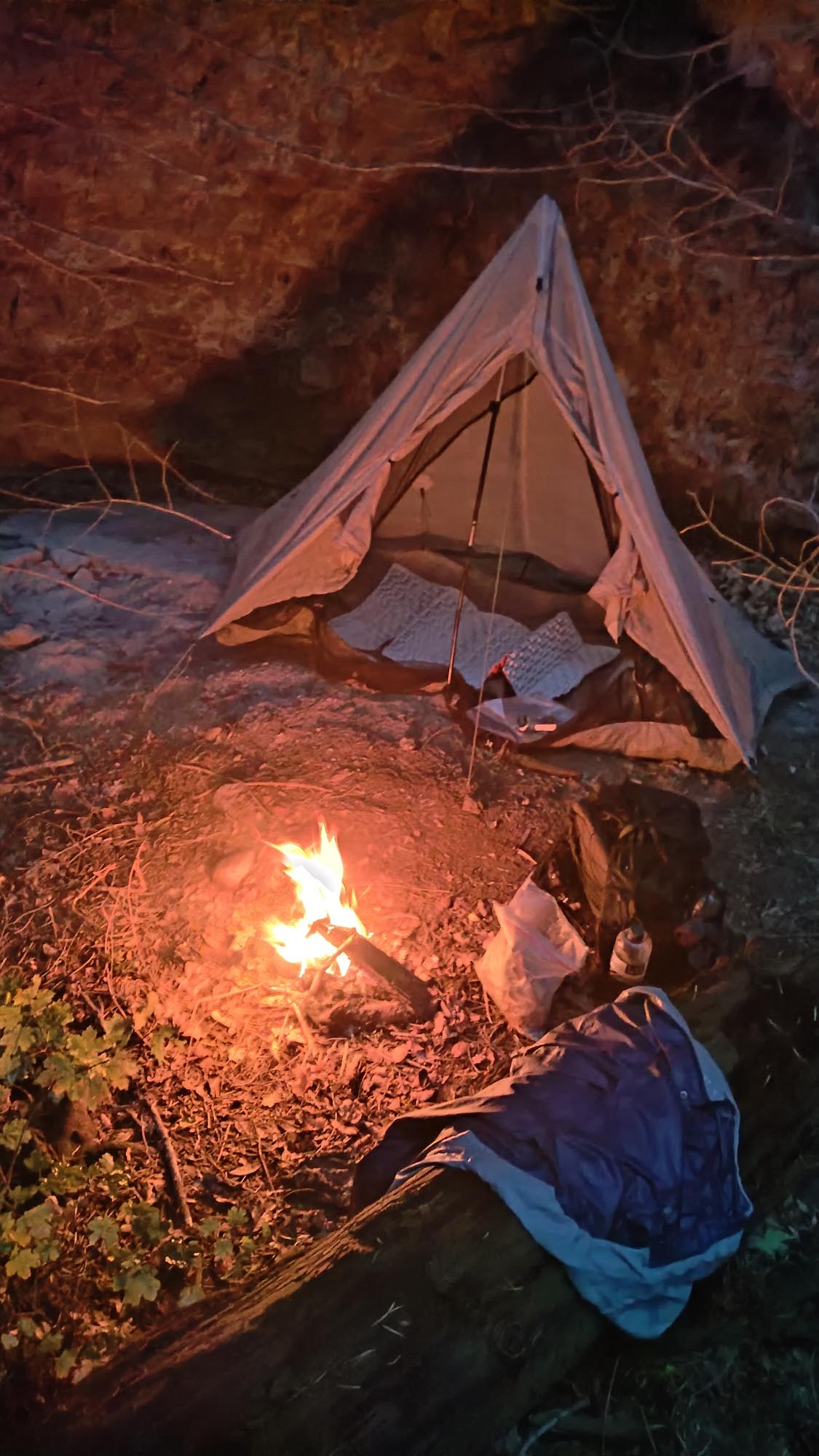
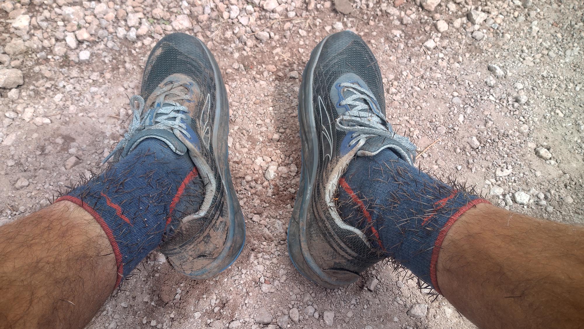
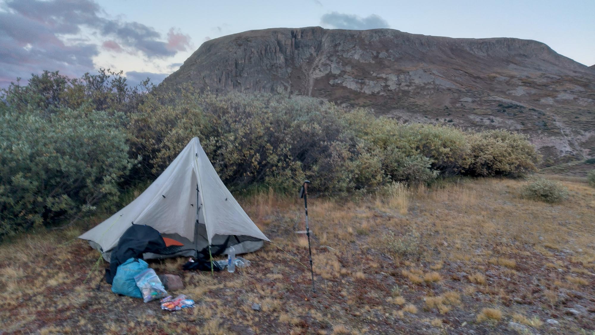
Surely enough, the G.E.T. became more enjoyable after this, and I started to embrace the “choose-your-own-adventure” aspect of hiking a route over a trail. By 10 pm I had made it to a jeep road and cowboy camped off to the side. My shoes and socks were completely soaked and covered with so many thorns and bits of prairie grass that the itching and pricking were unbearable.

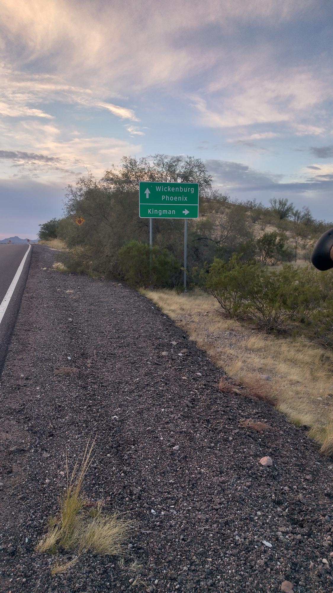
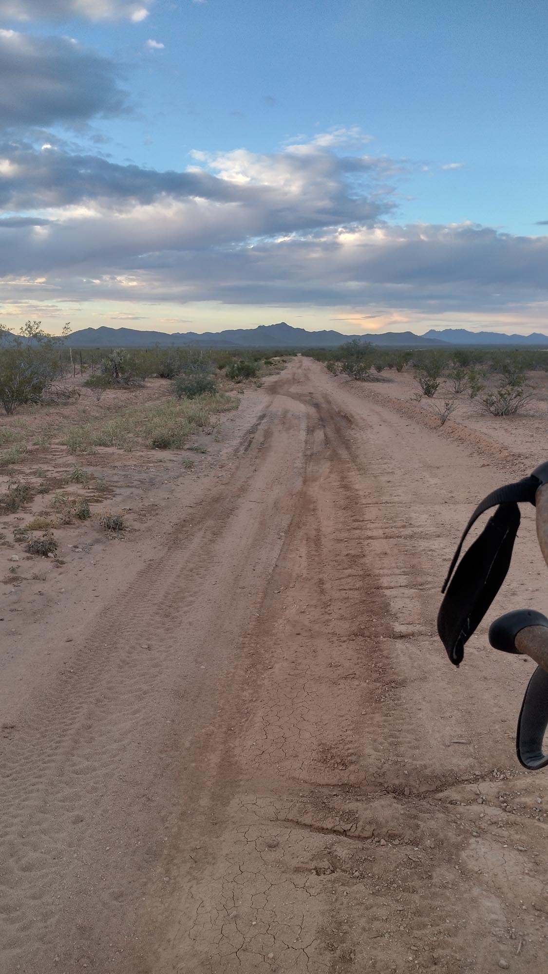
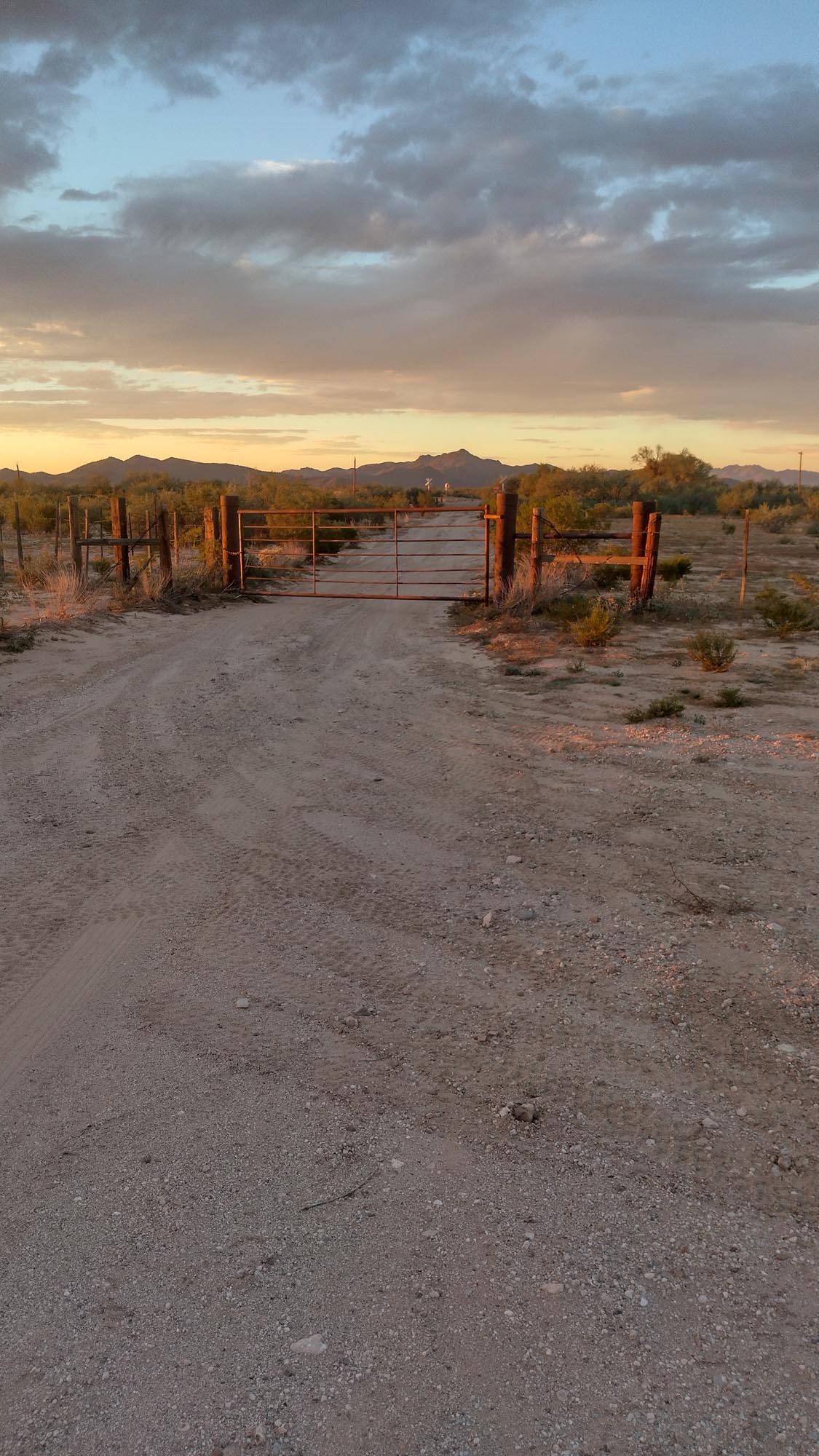
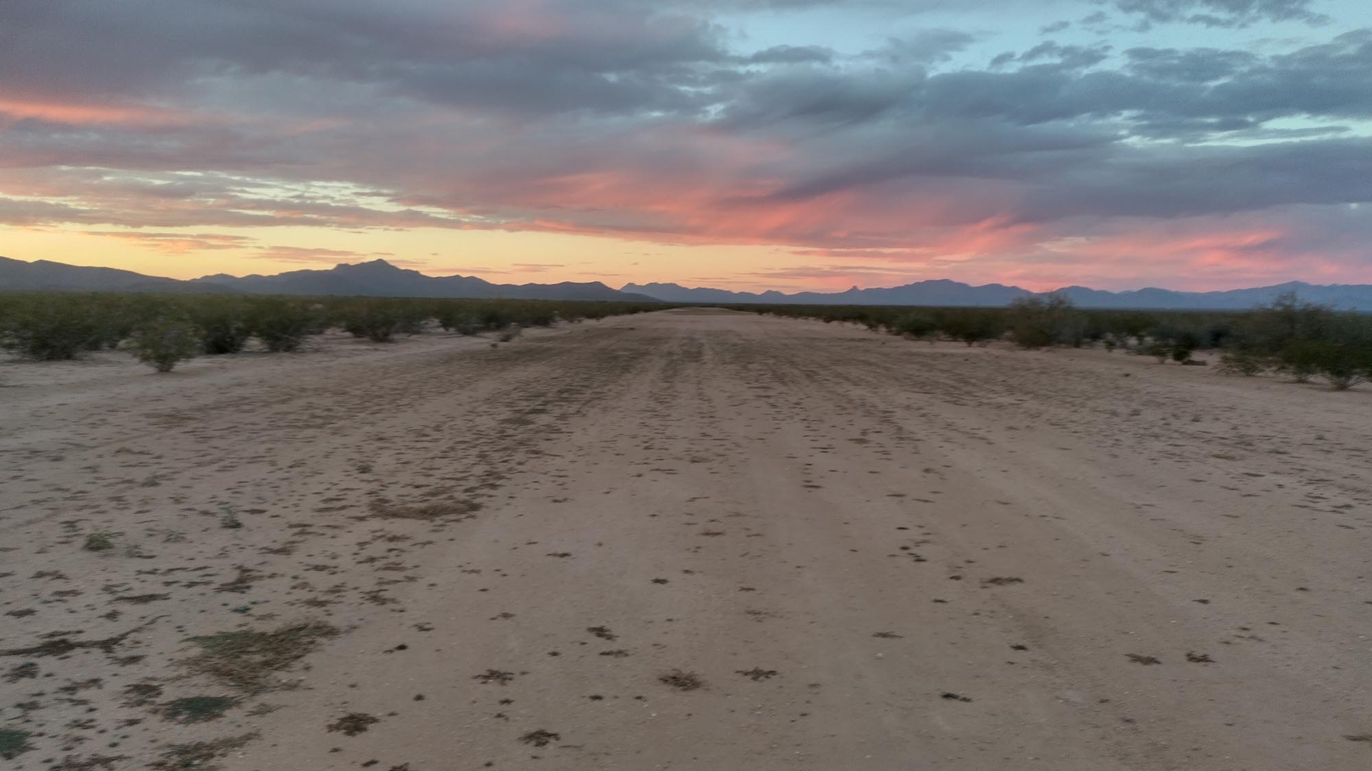
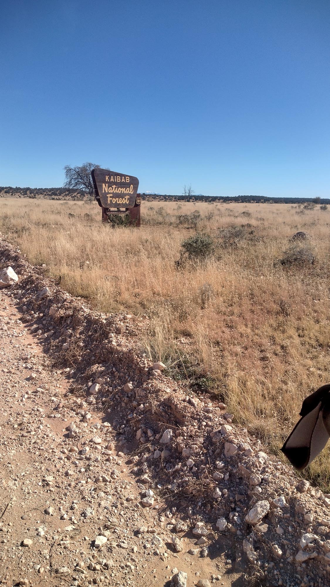
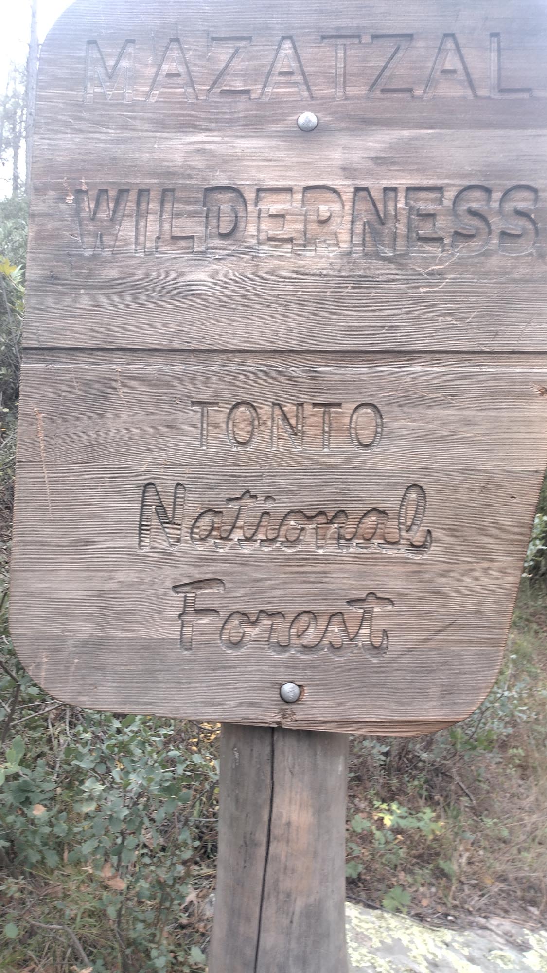
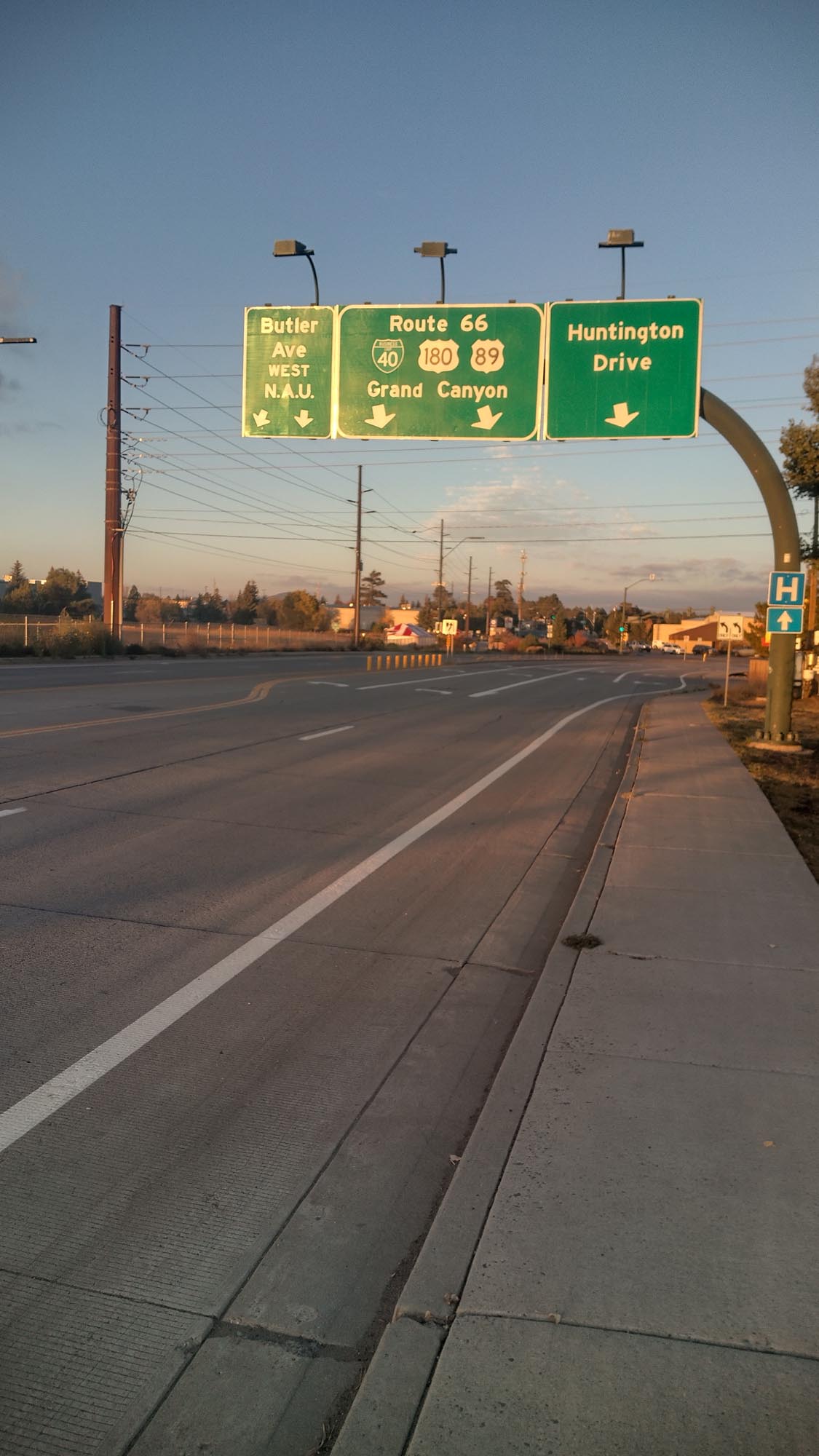
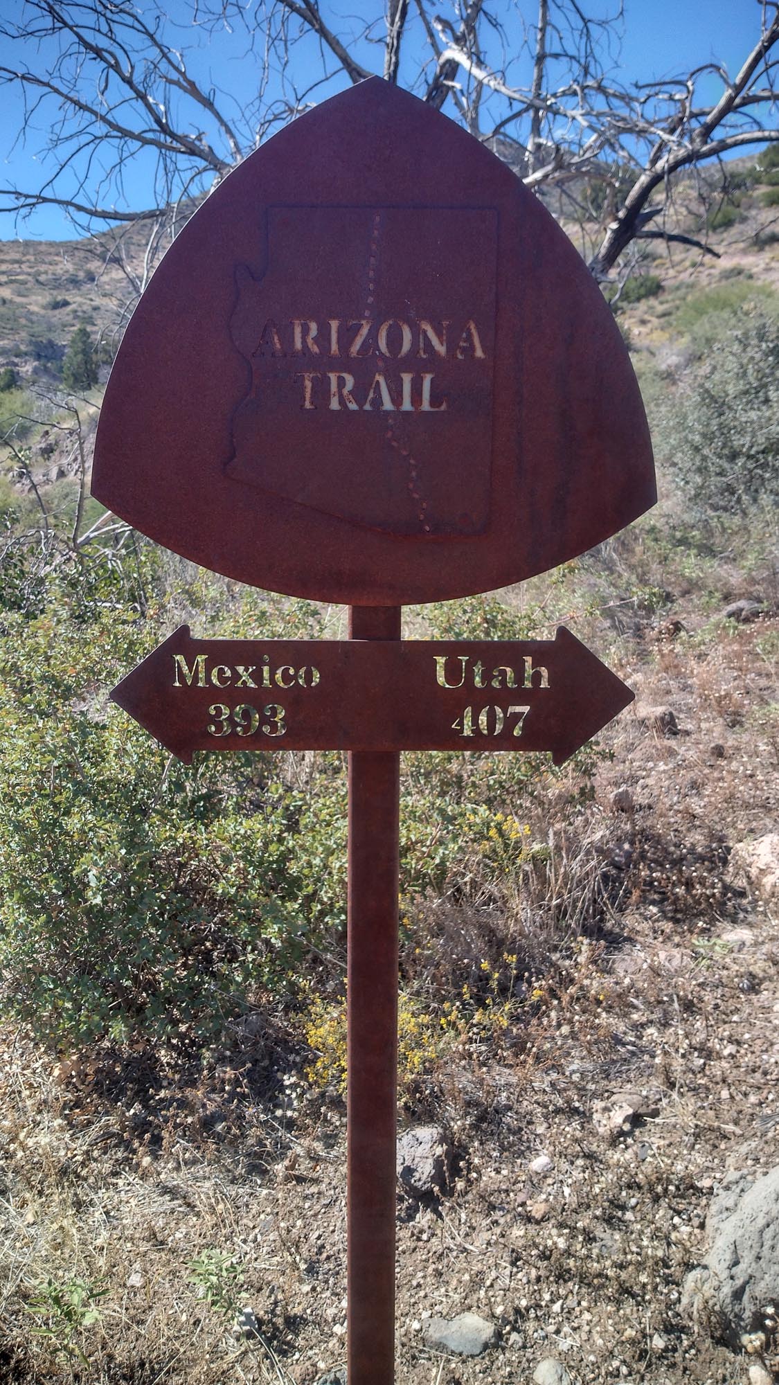
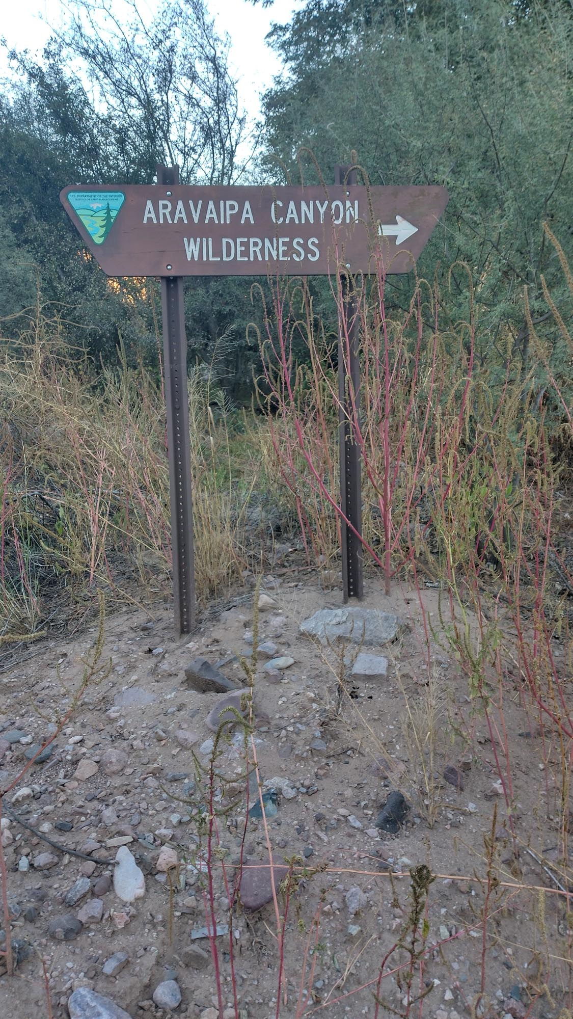
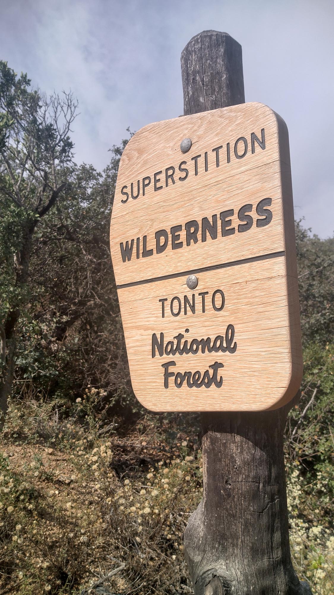
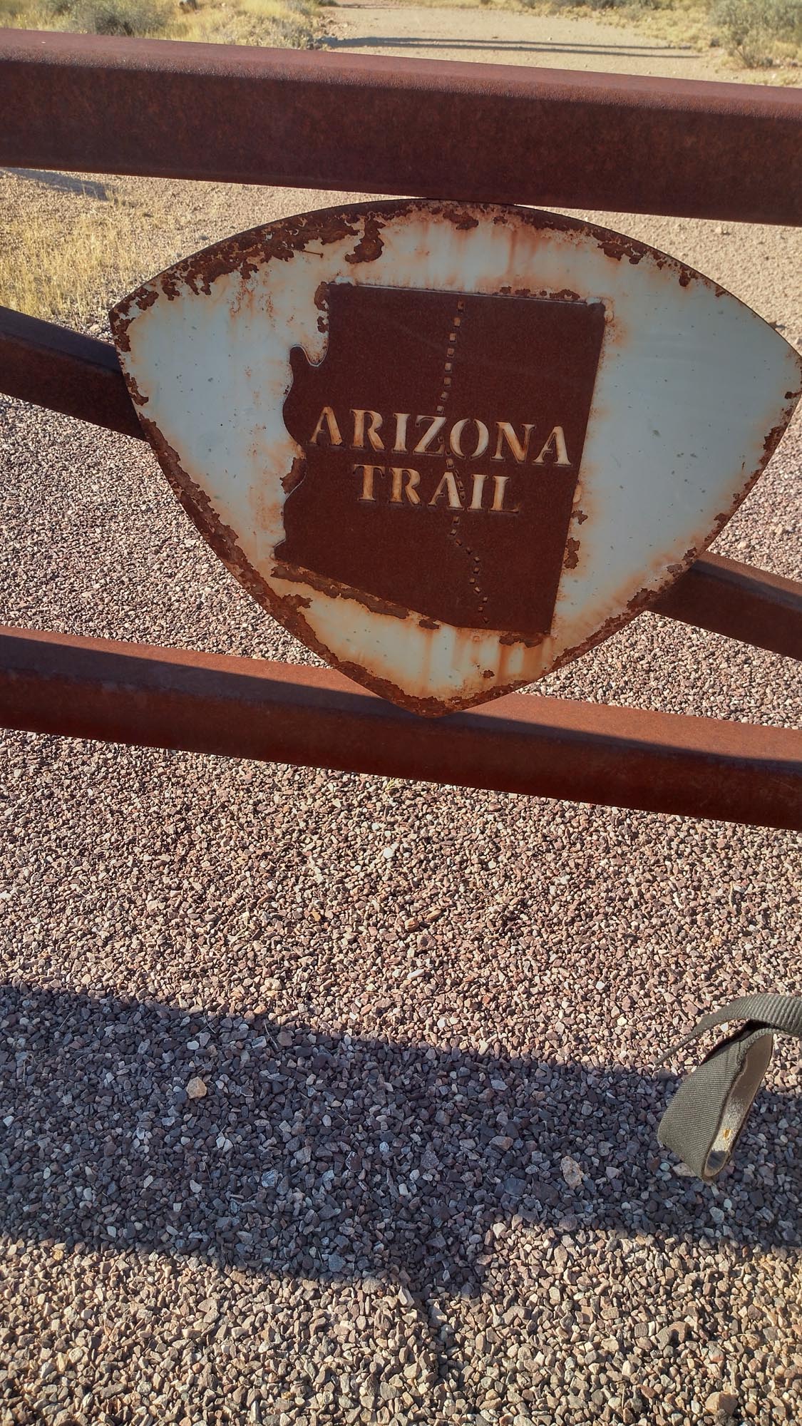
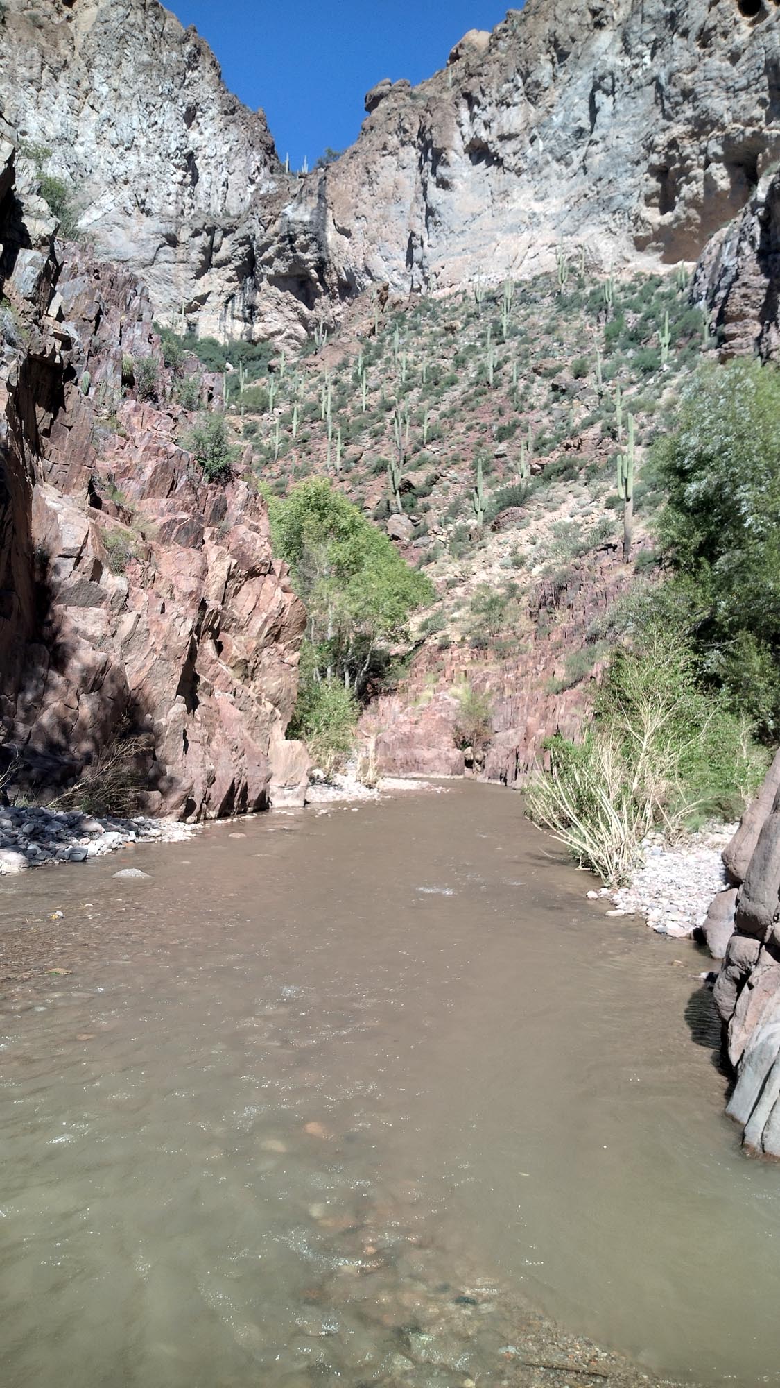
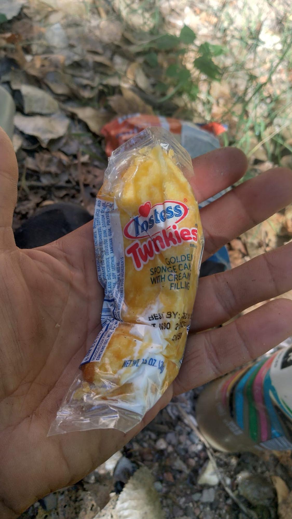
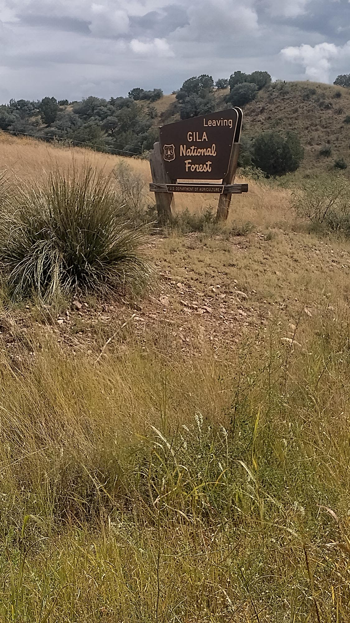
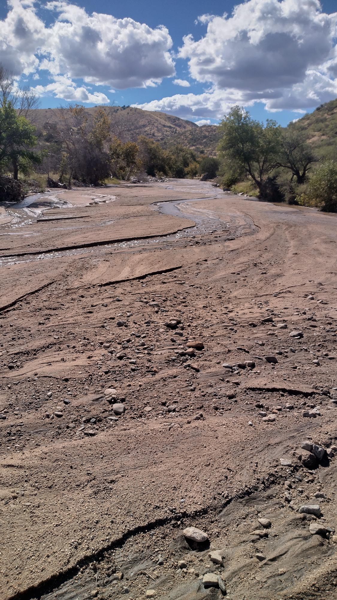
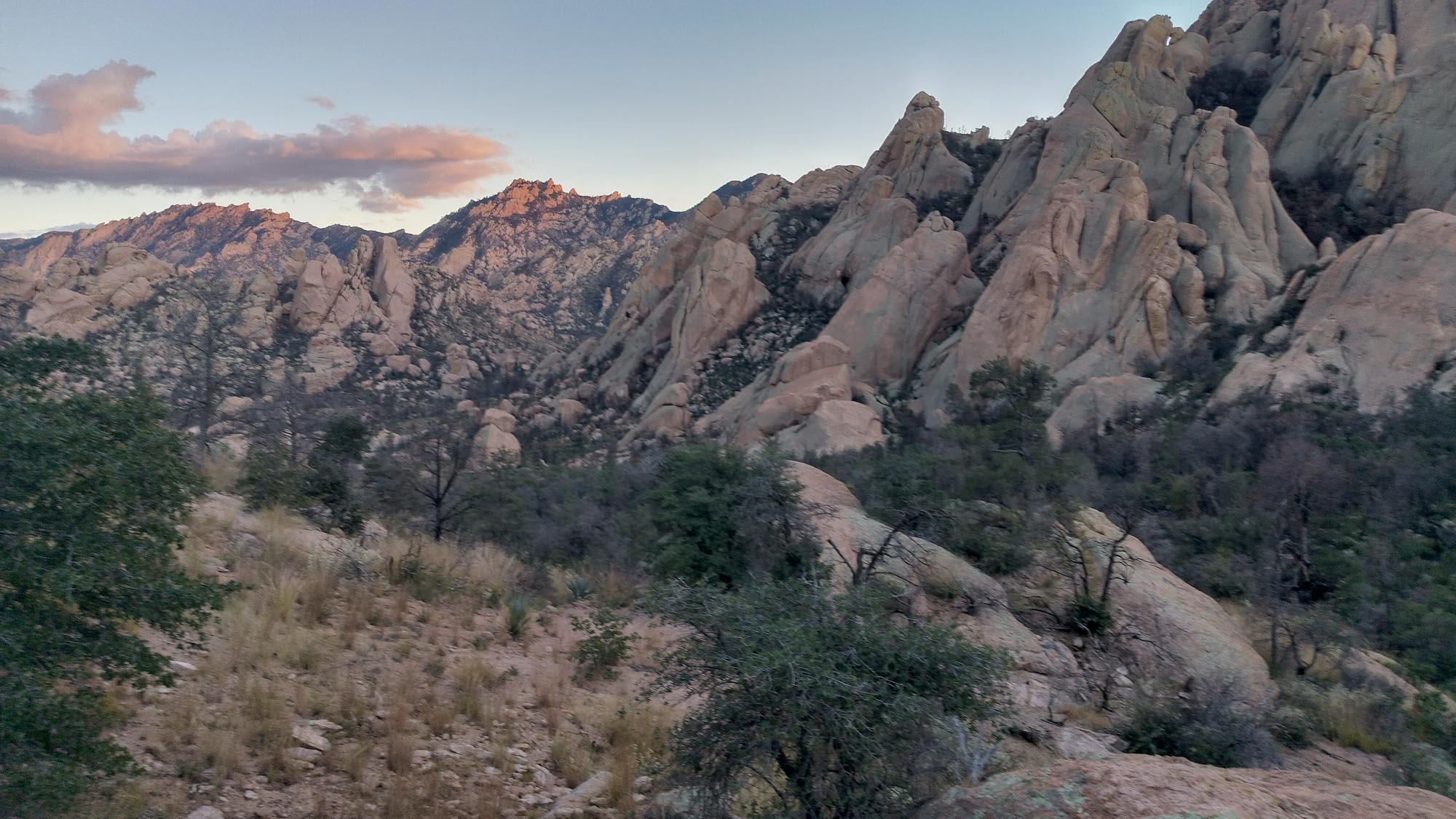
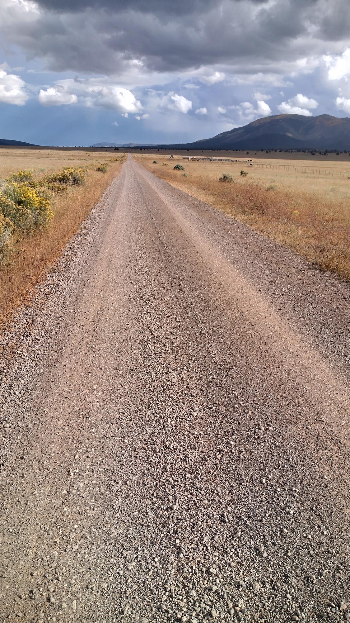
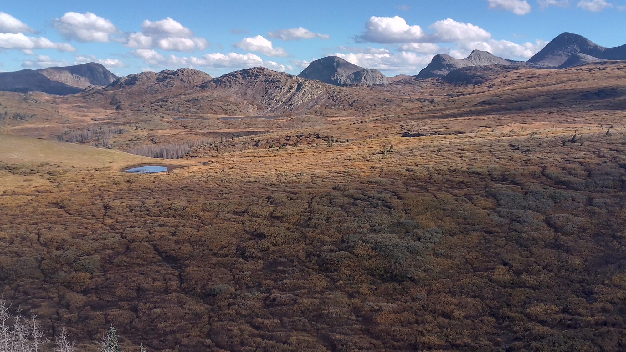
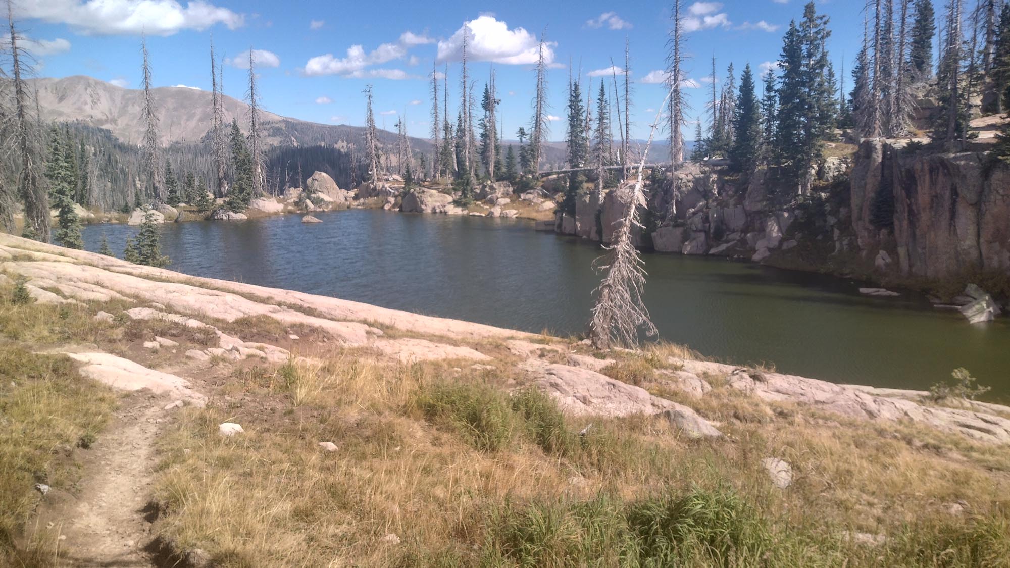
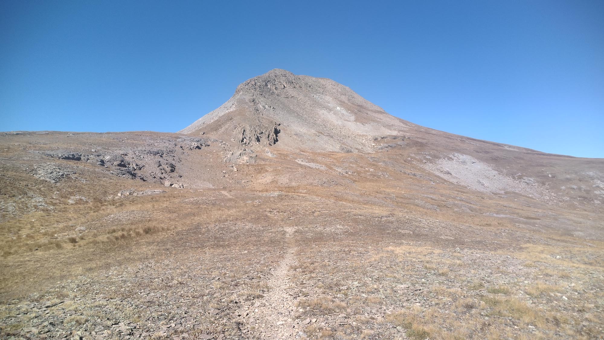
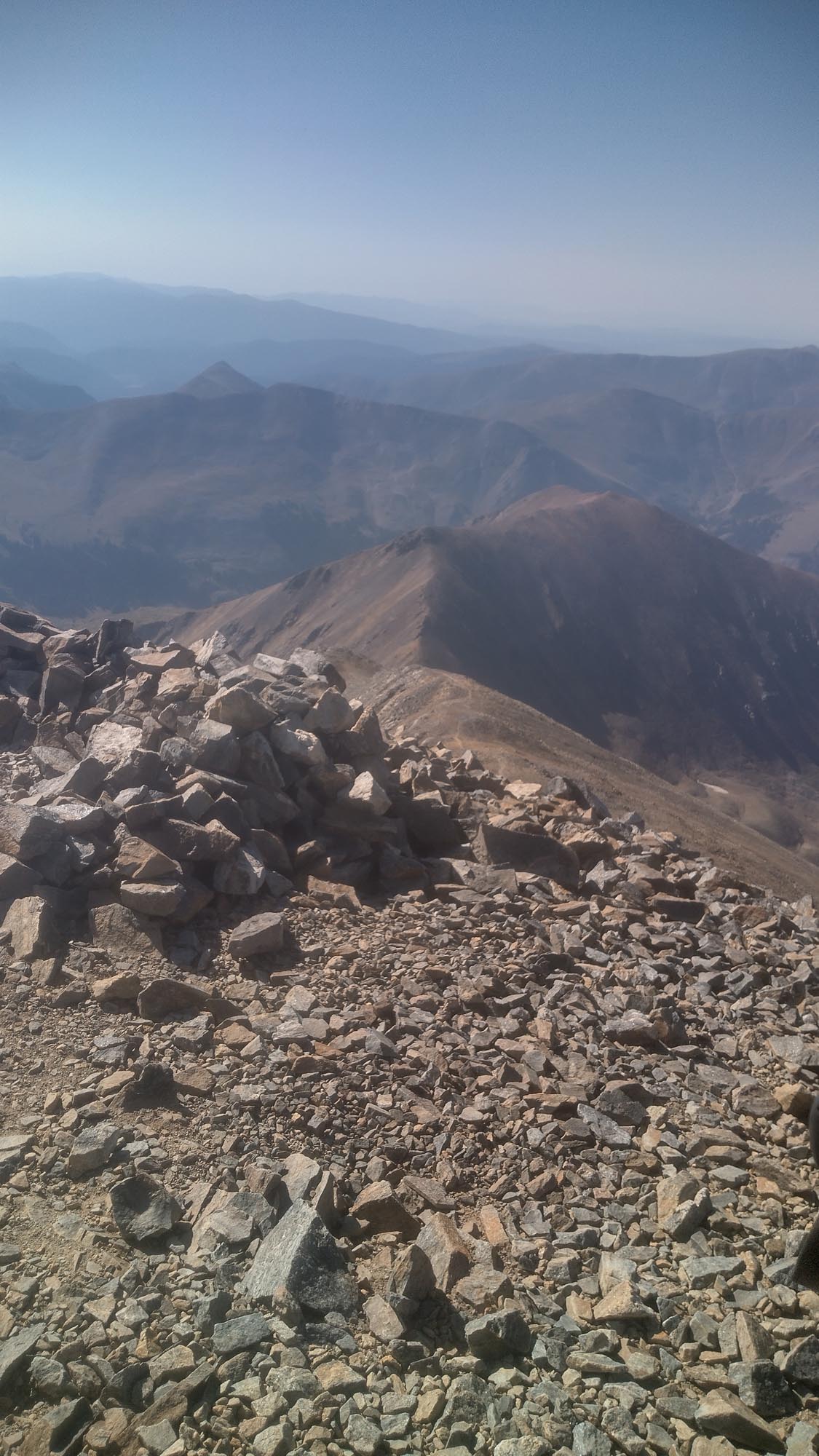
I had 8 miles of road walk the next day, then 20 miles of river canyon hiking in the Aravaipa Canyon. It was fun and the water wasn’t deep. I saw a lot of weekend hikers in this section and at 2:30 pm I made it to the trailhead. Now I had 12 miles of dirt road and 11 miles of paved road to make it to Winkelman, AZ. I was out of food. Well, food that didn’t need water added to it. Ramen, oatmeal, and instant mashed potatoes were all I had left, and I couldn’t use my water for that. I felt like the G.E.T was a draw; yeah, I made it through, but barely. It tested me more than anything up to this point and I was so happy to be out of it and on my way to the AZT!

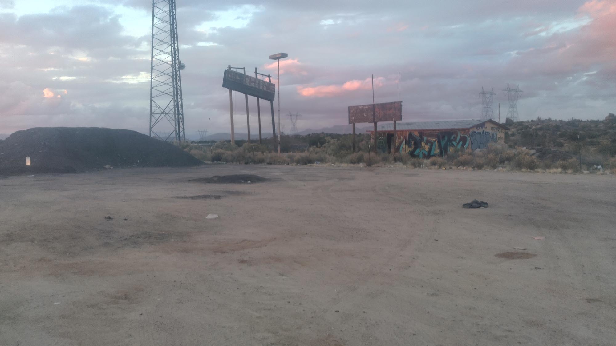
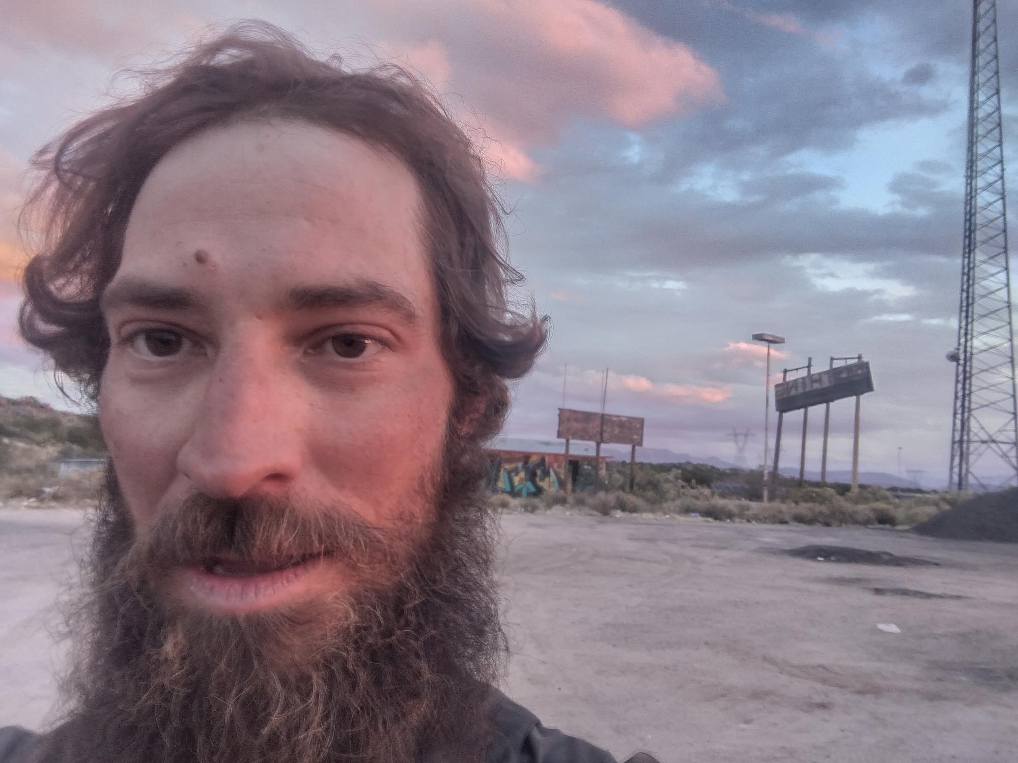
I arrived at the Speedway Gas station at 10:45 pm and, like always, went straight for the hotdog roller. I grabbed the last taquito, two hotdogs, two green chili cheeseburgers, a bag of Doritos and a pint of chocolate milk. I sat out on the curb and stuffed my face. The green chili cheeseburgers might be the best I’ve had in the trail, or I was so hungry it just seemed like they were.

Afterwards, I camped under the overpass at a defunct RV park. I laid my stuff on a cement platform and was just about to go to sleep when a couple of tweakers appeared out of nowhere and started asking me what I was doing there. I wasn’t in the mood. After 200 miles of getting my ass kicked, and a 44-mile day, I almost wanted them to try something.

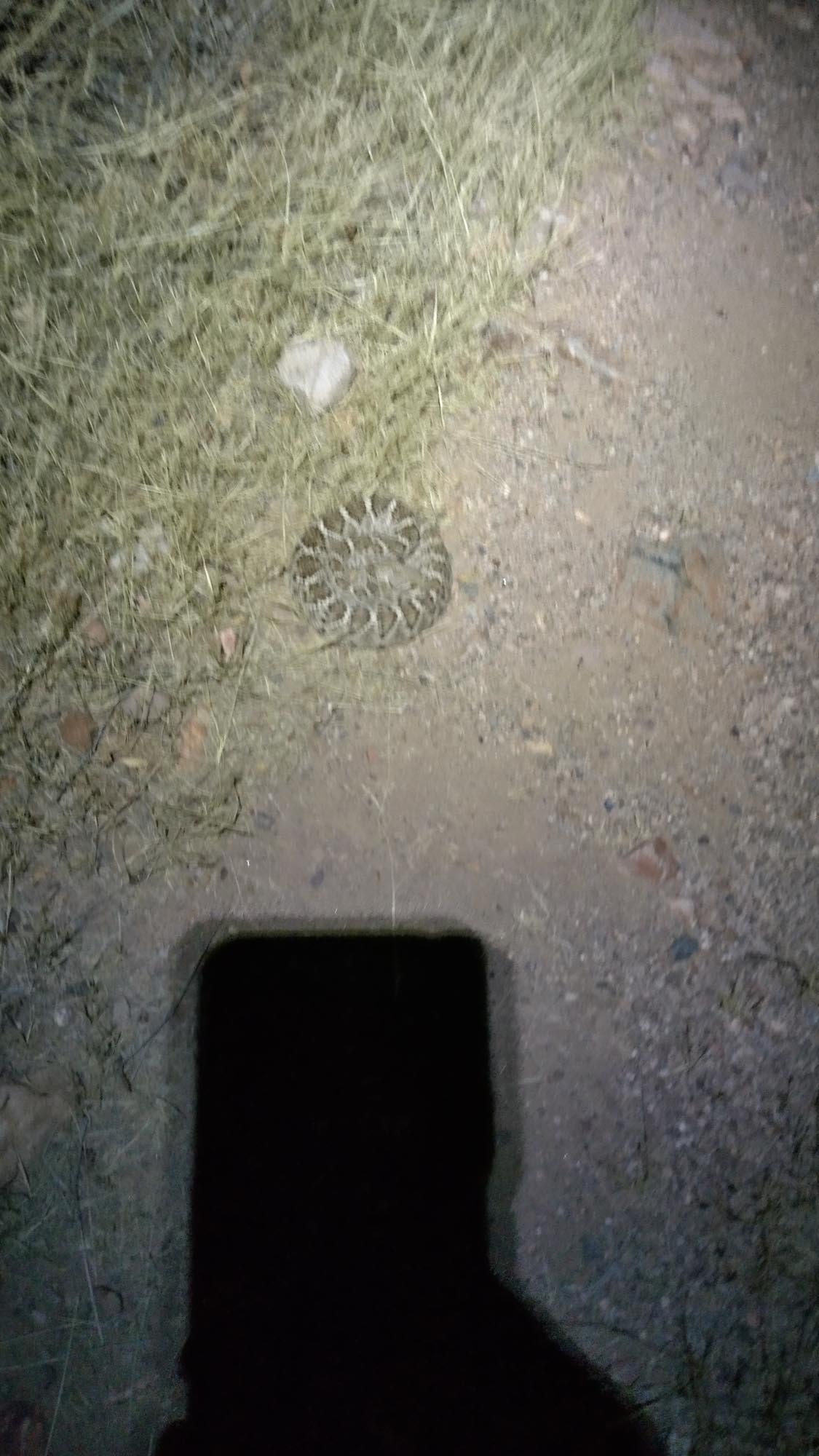
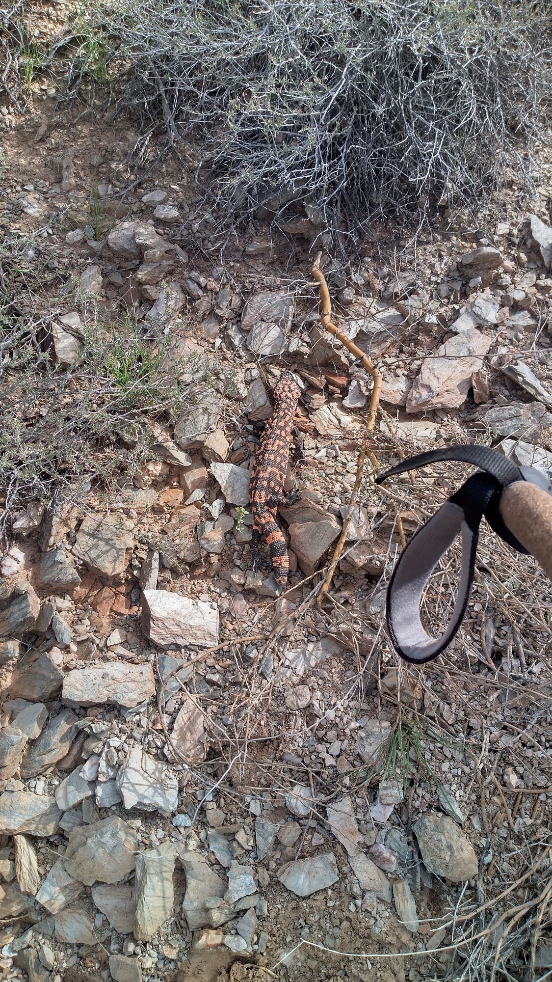
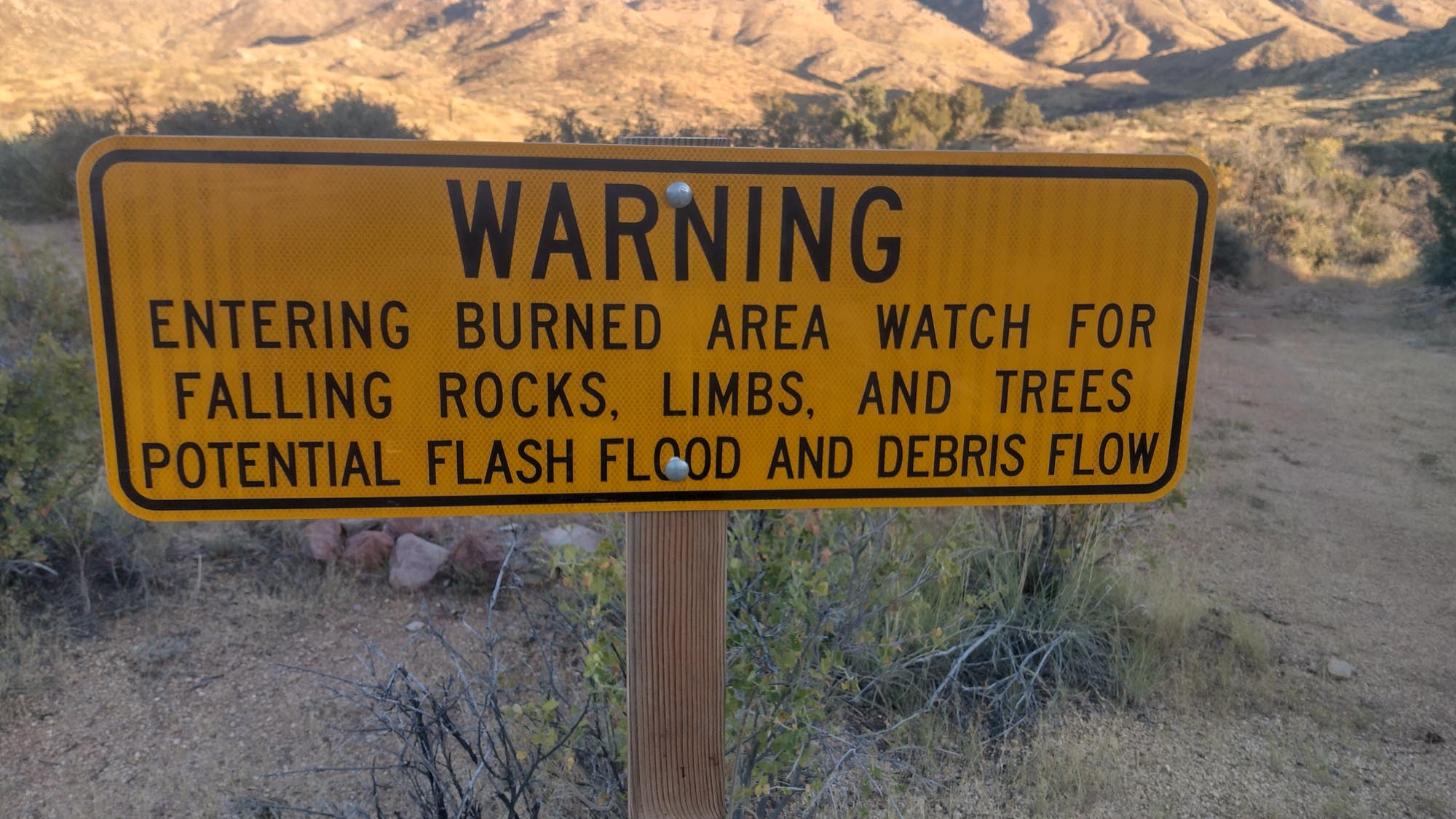
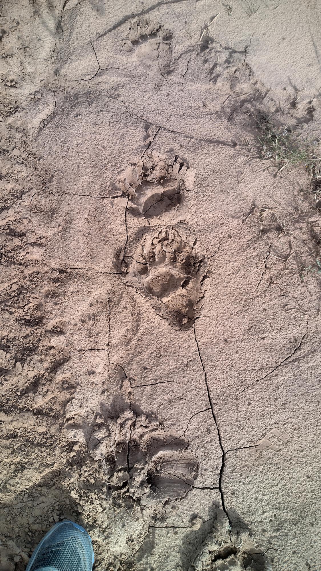
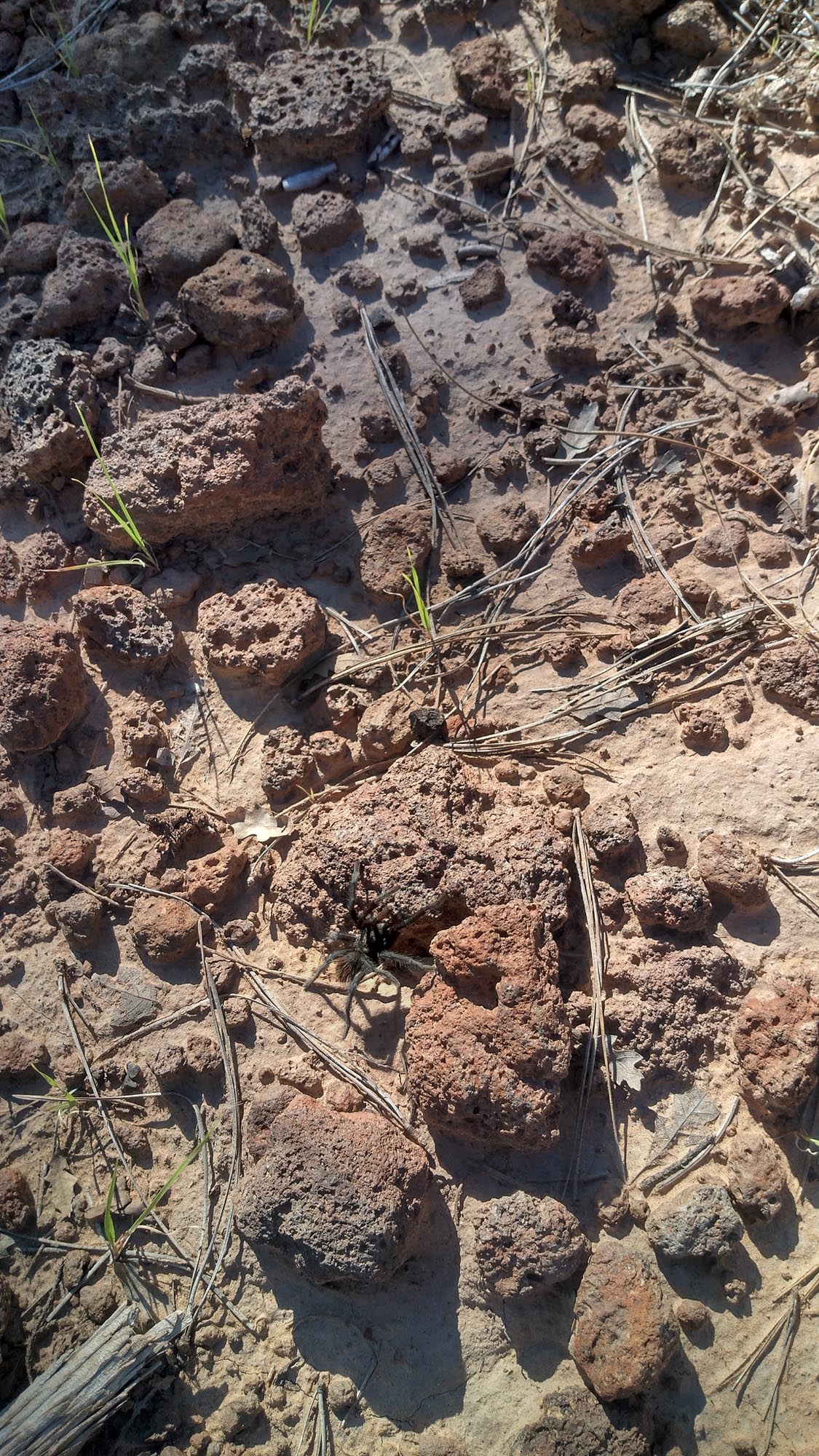
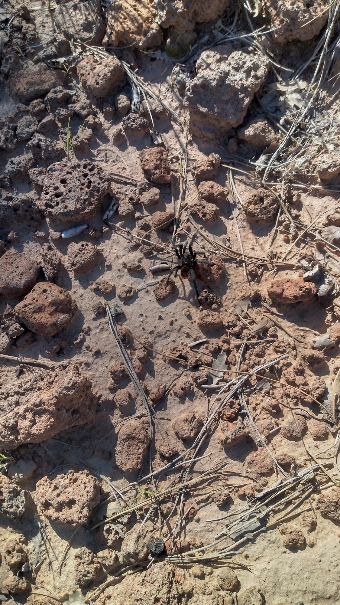
Once they realized I wasn’t the fuzz, they told me to be careful of the rattlesnakes, which was good advice. I’d been so focused on my pace that I didn’t even think about it! Pushing through high grass, at night, and crawling over rocks during the day, if I had been bitten by one of those in the remoteness of where I was it could have been a very bad thing, to say the least.

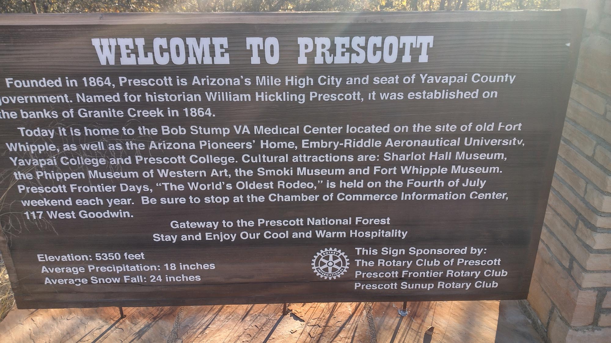
After losing a breakfast sandwich out of my pocket on the road walk, I made it to Kearny, AZ, the next day and resupplied at the Family Dollar store. The sun was baking me, and I started to be aware of my own smell. I desperately needed to do laundry. Since Steamboat I haven’t done legit laundry, only cleaning my clothes in the shower, and It was time to get it done.

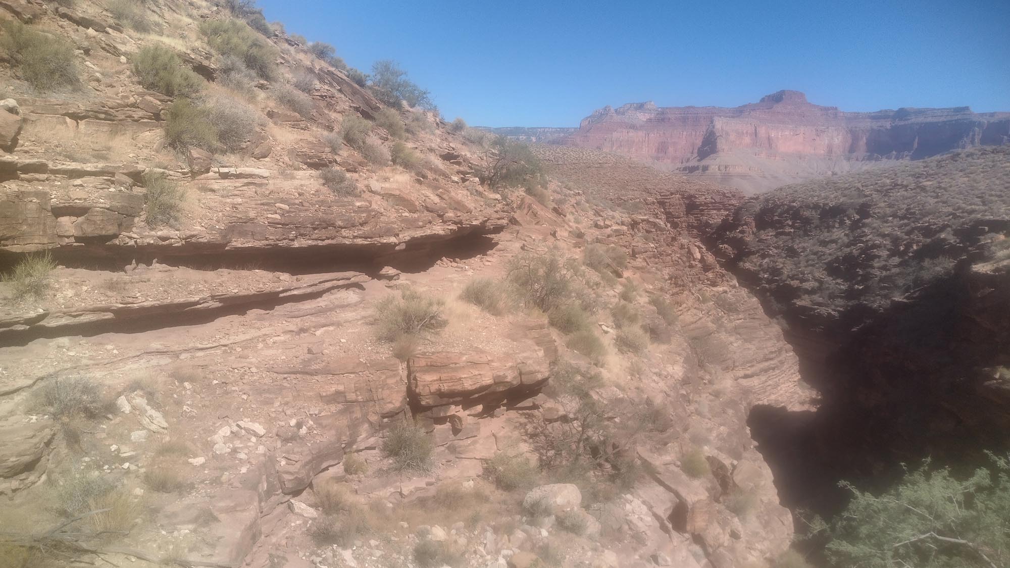
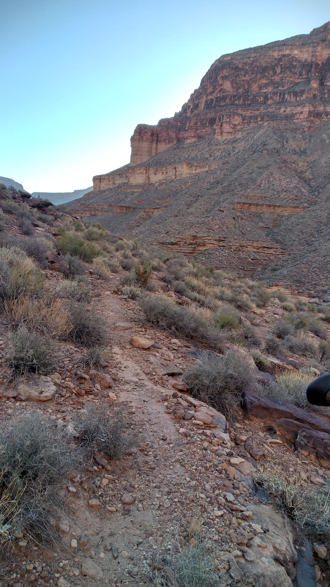
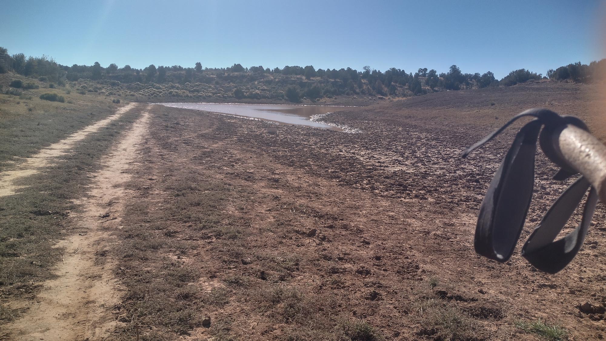
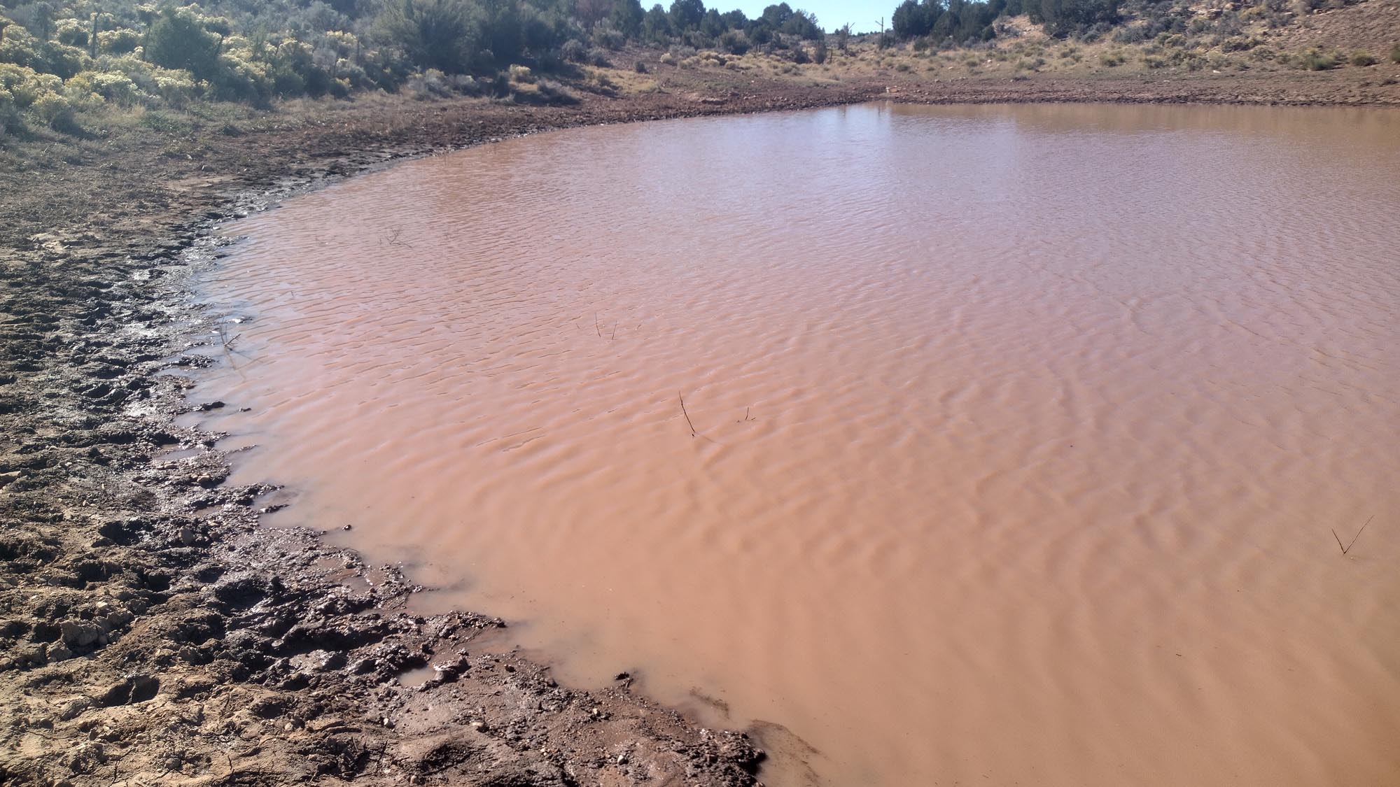
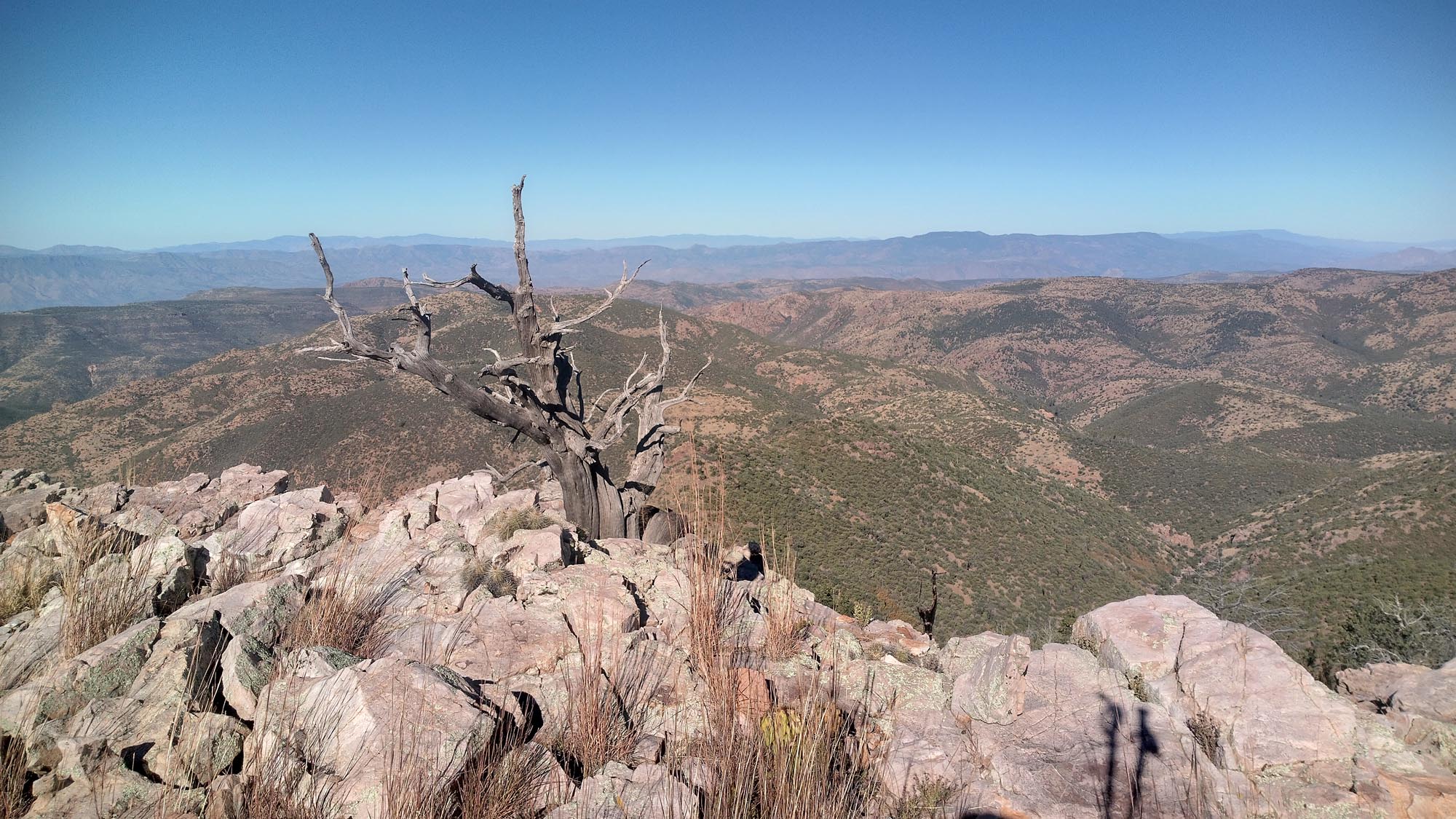
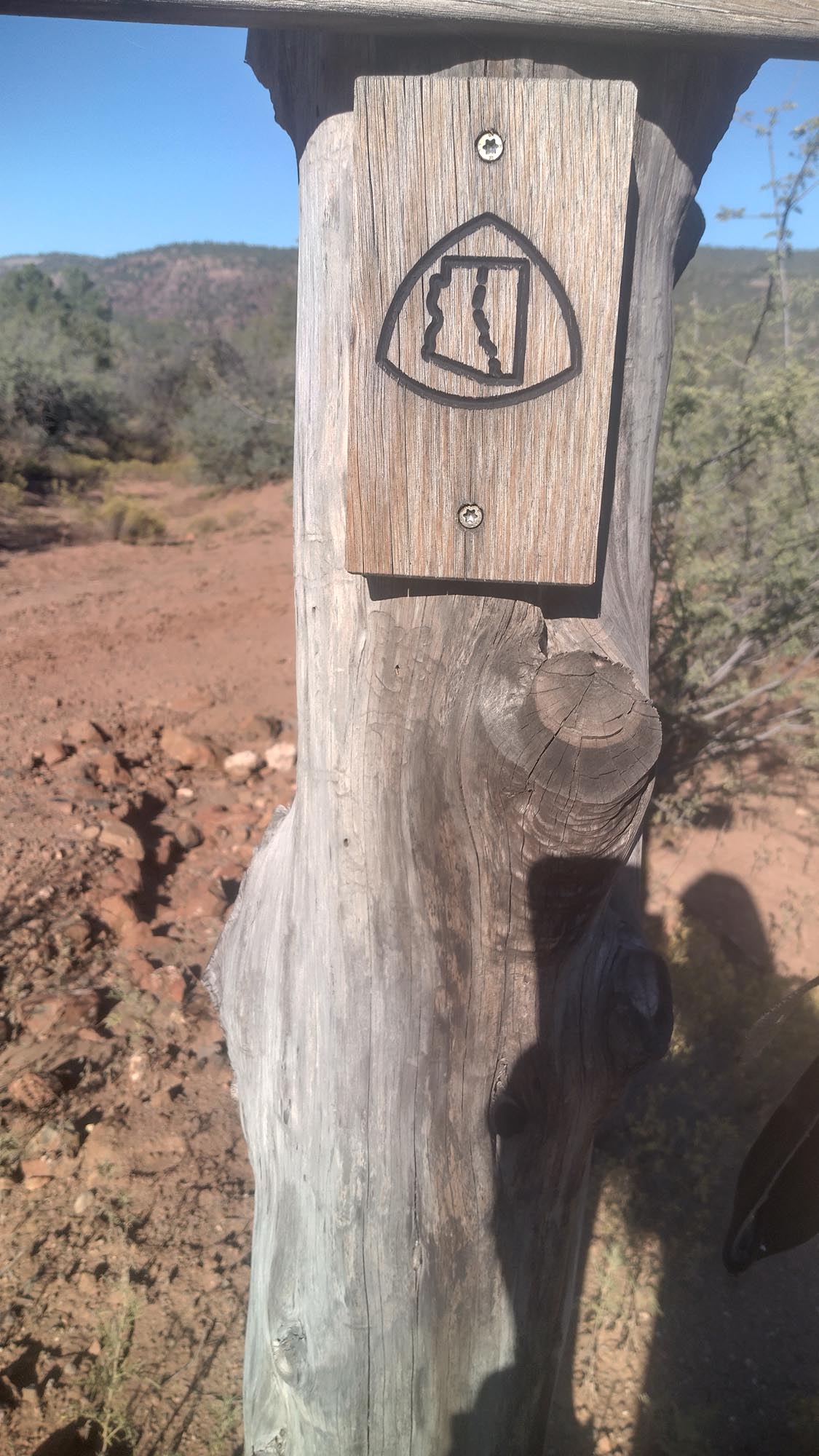
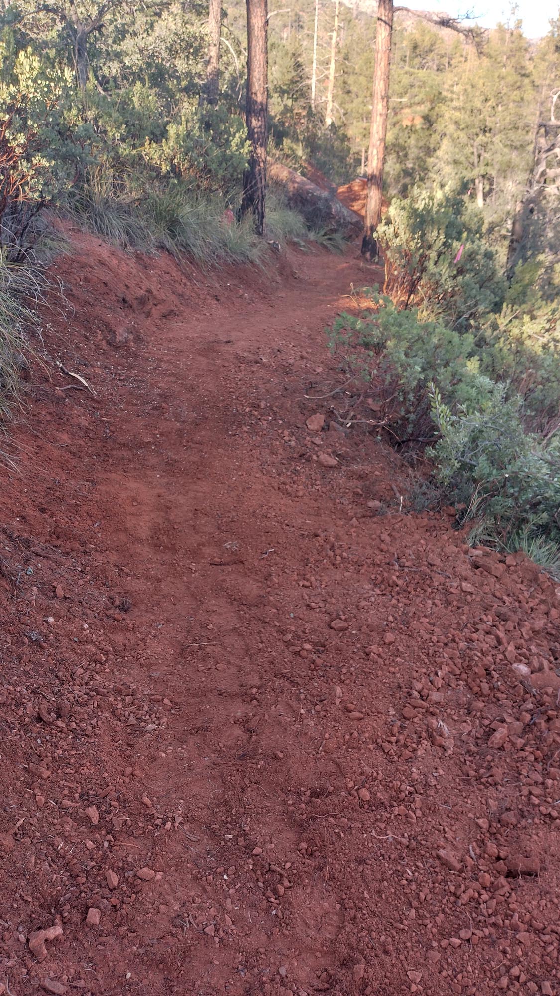
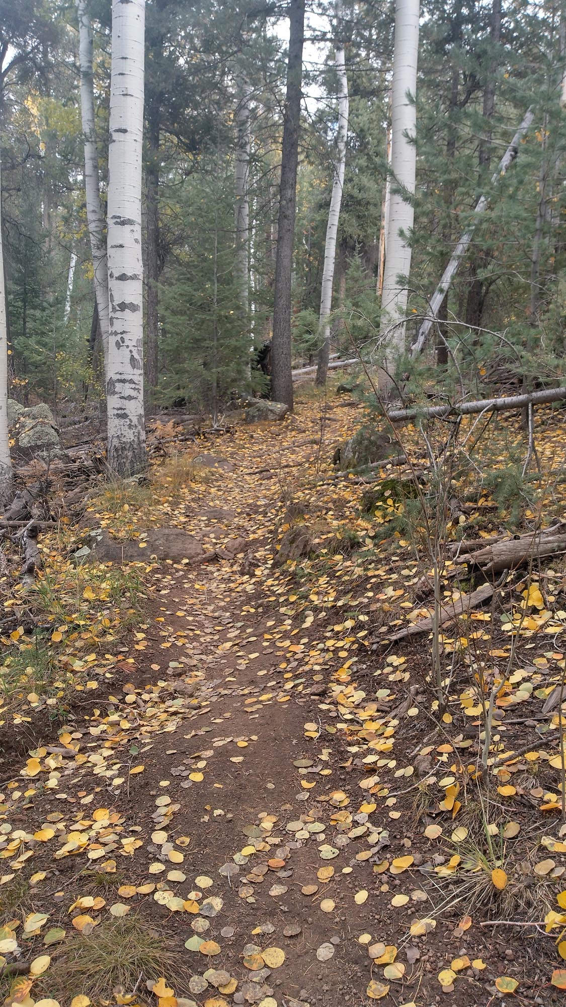
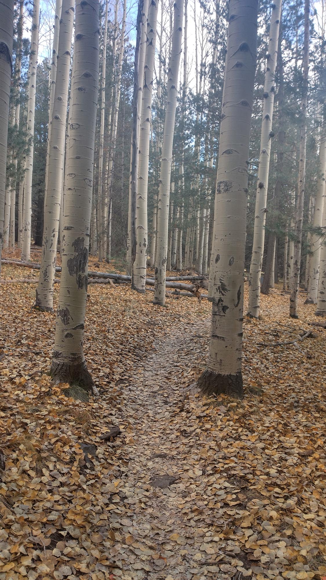
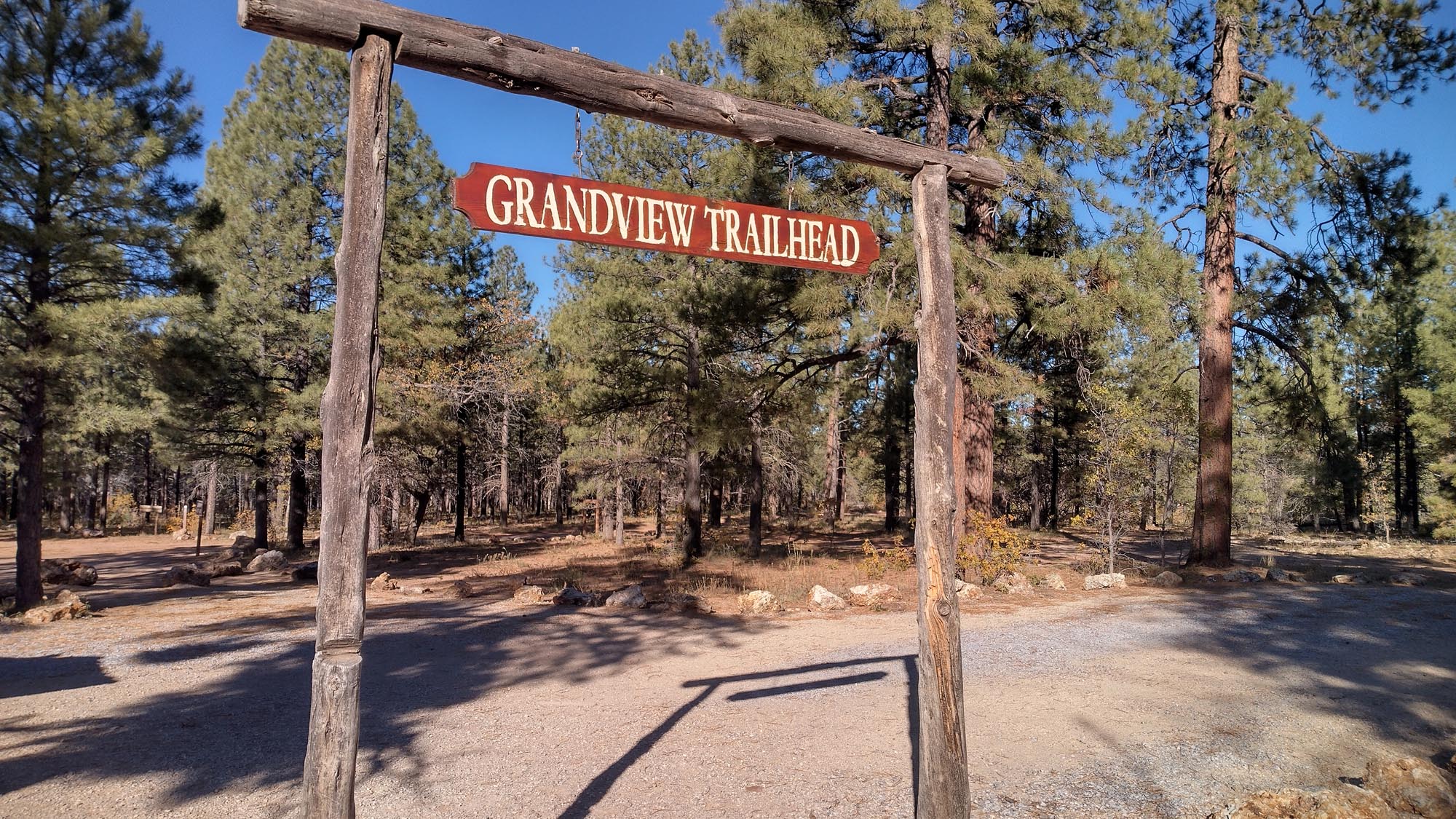
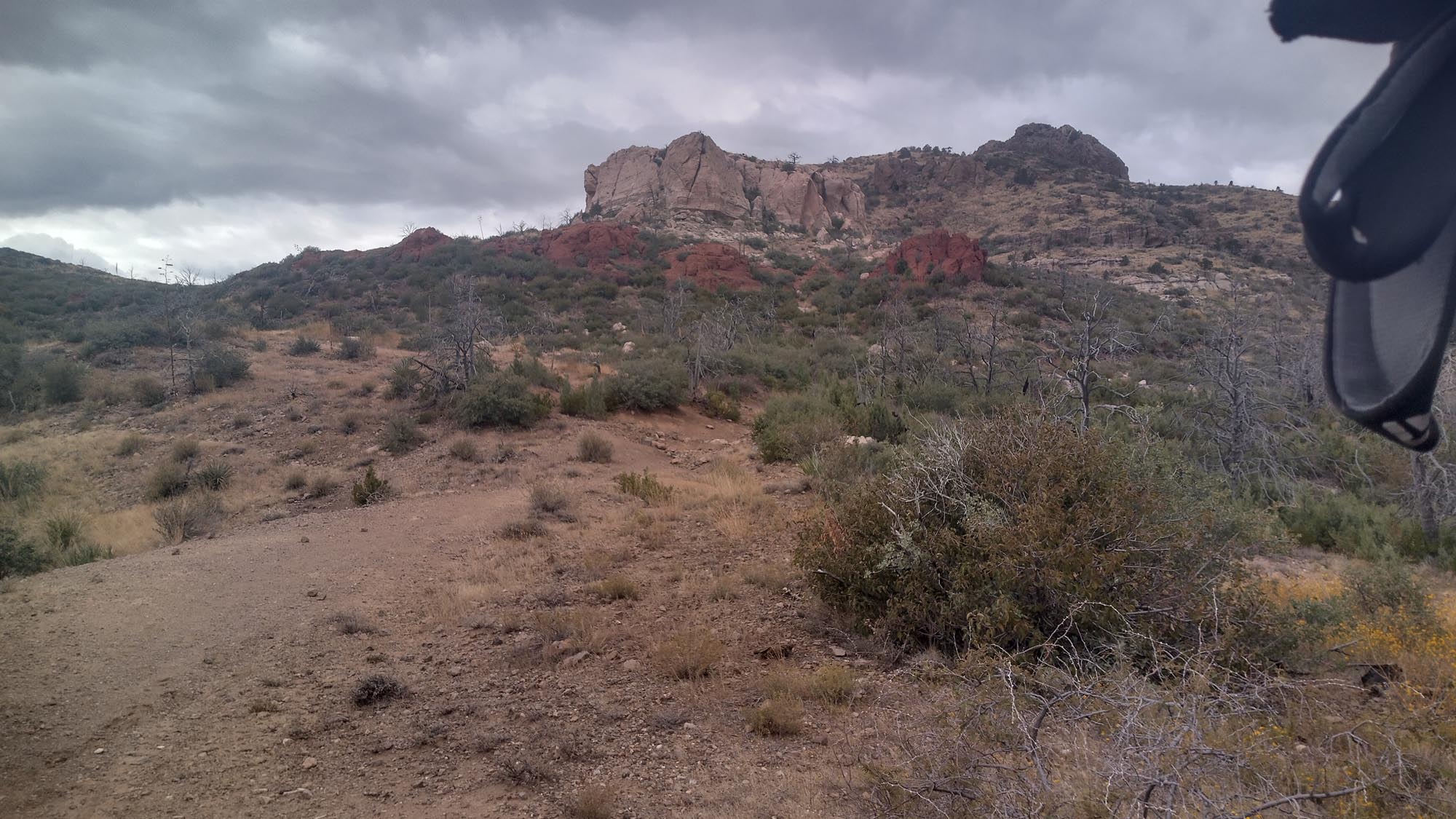
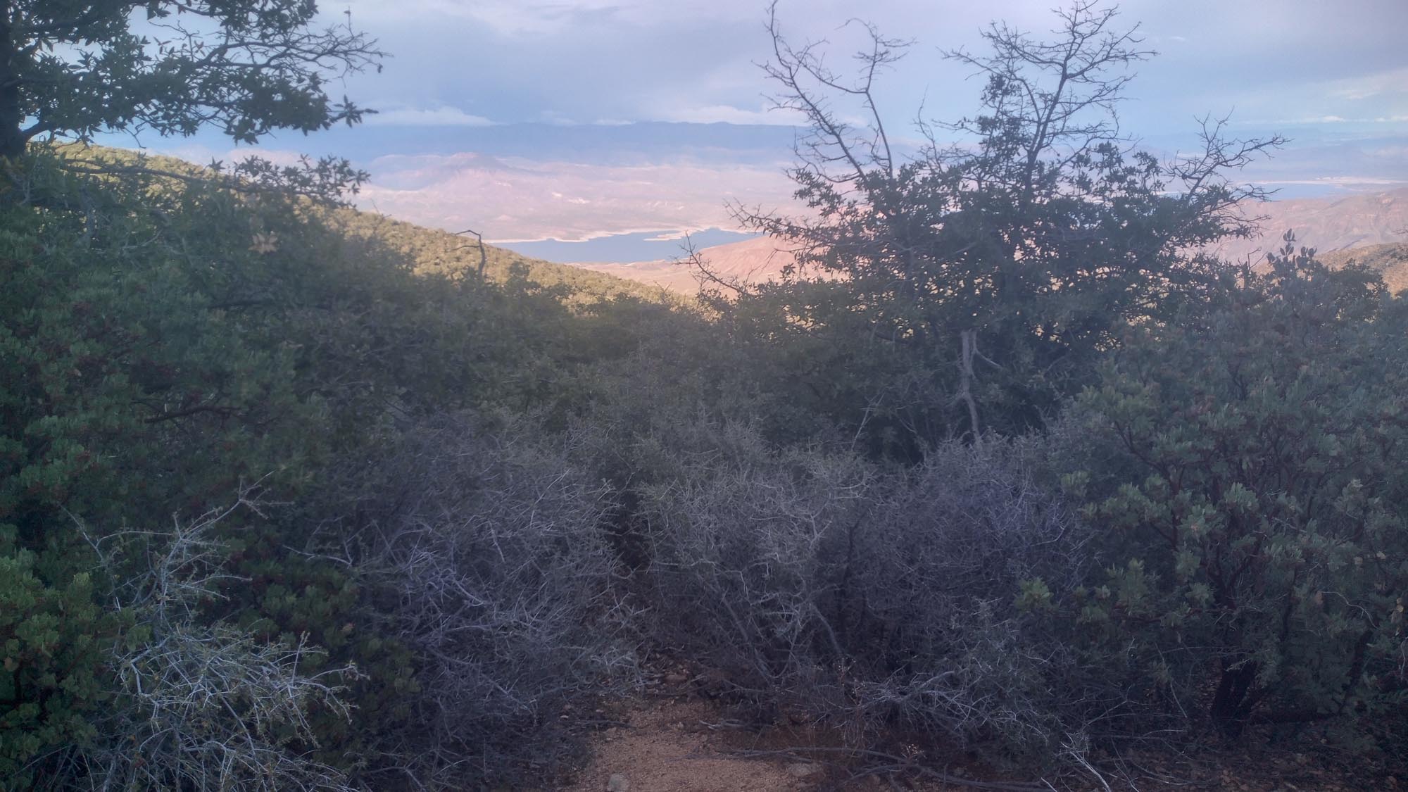
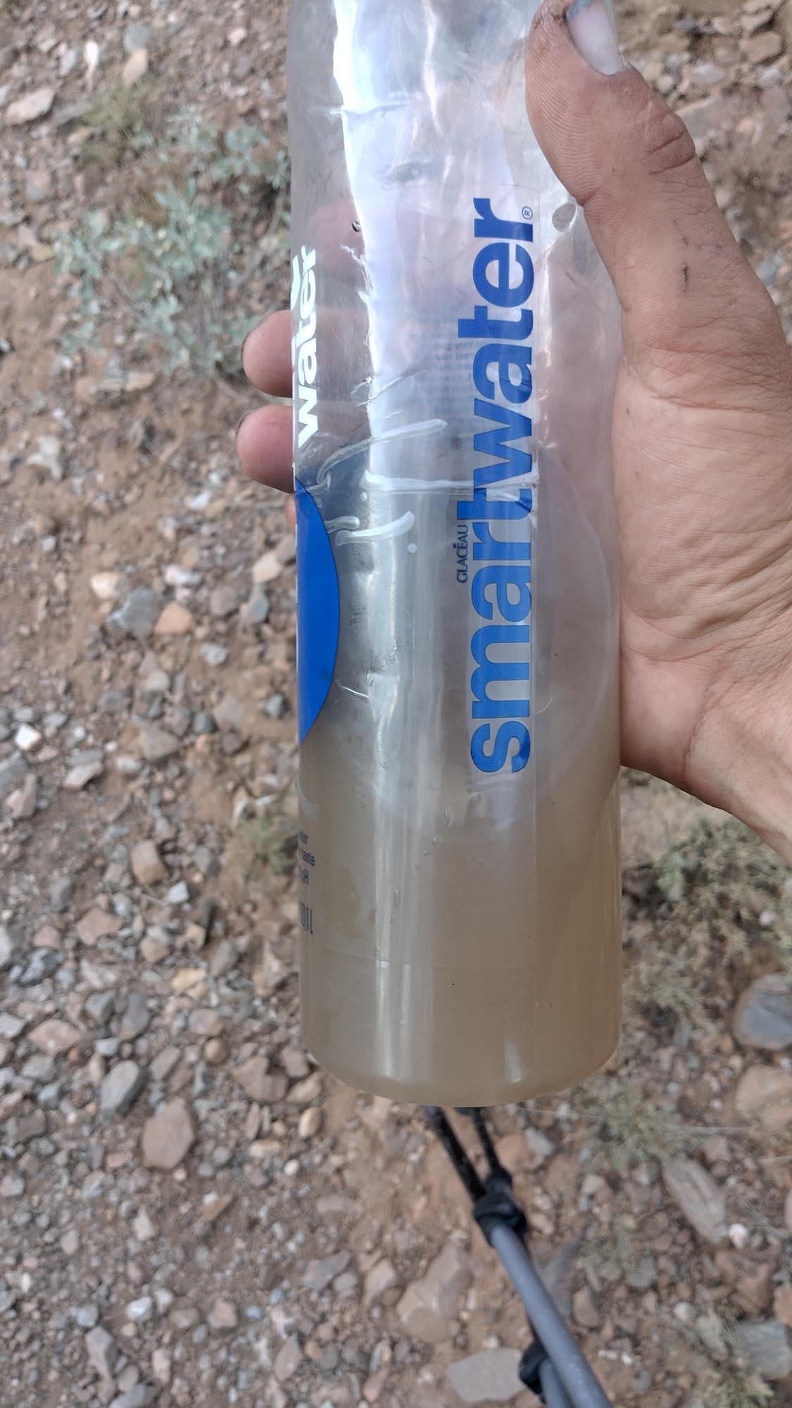
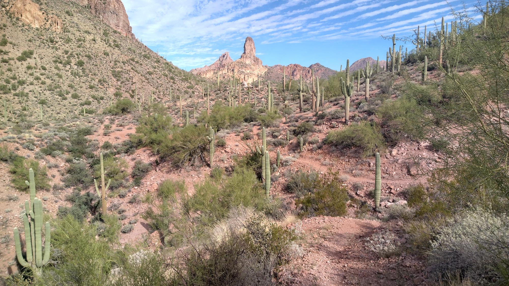
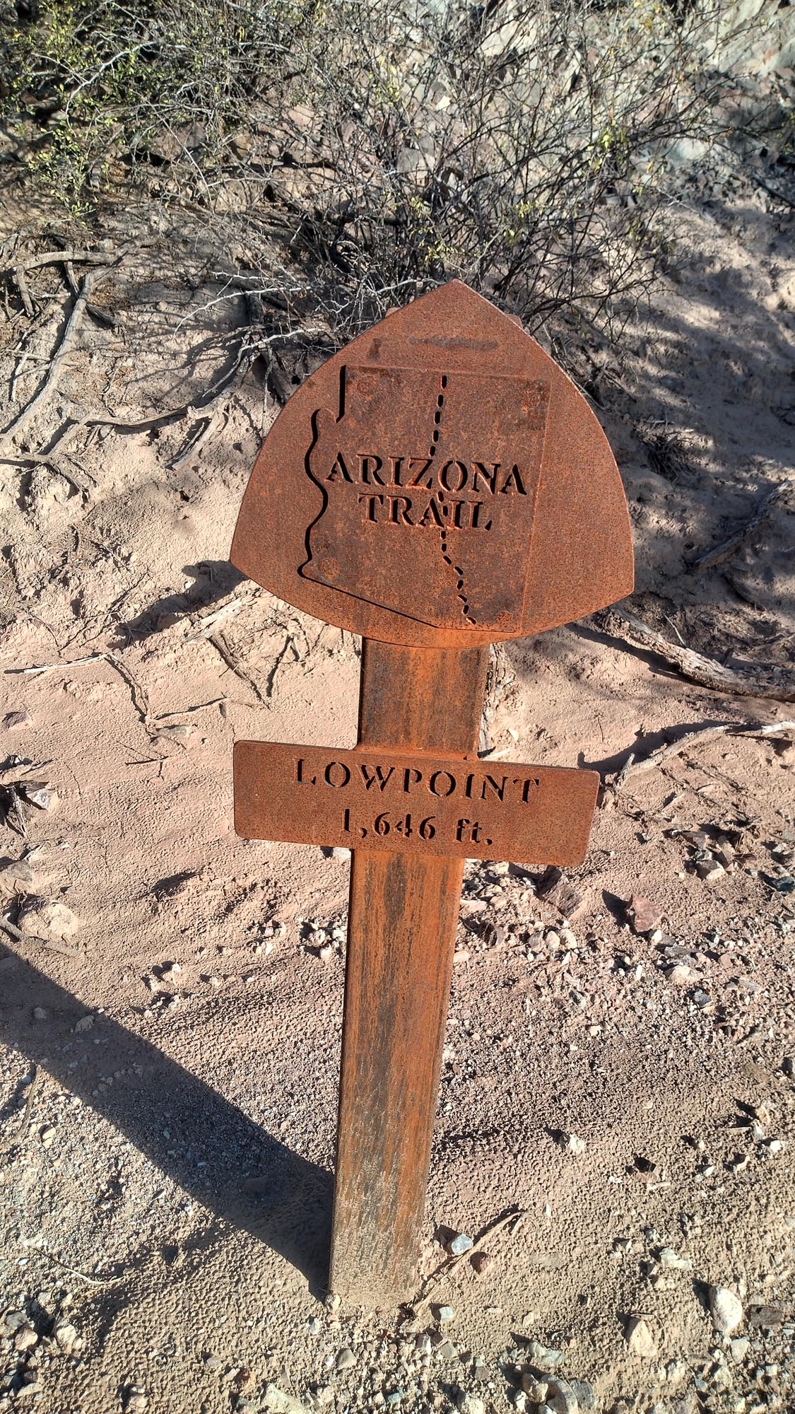
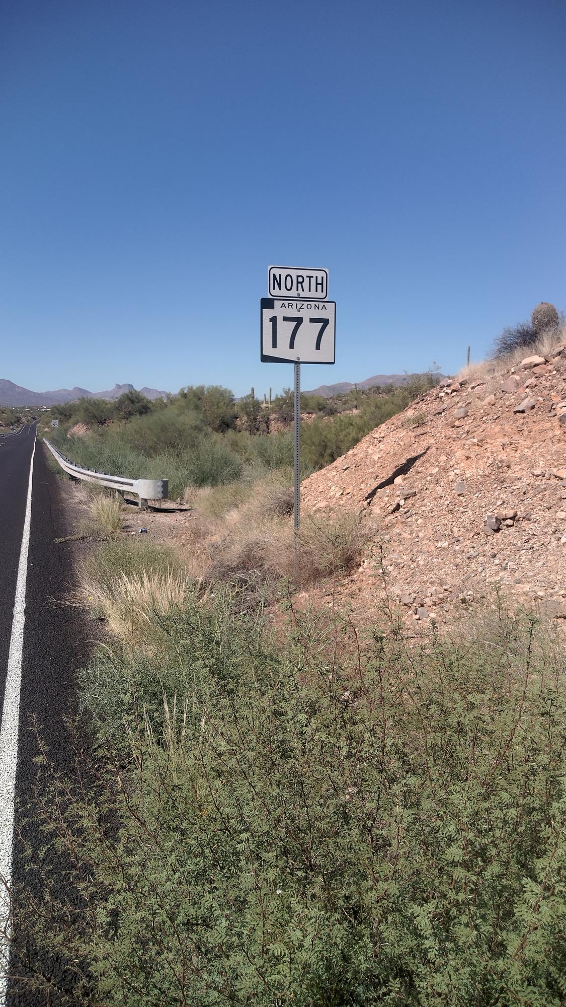
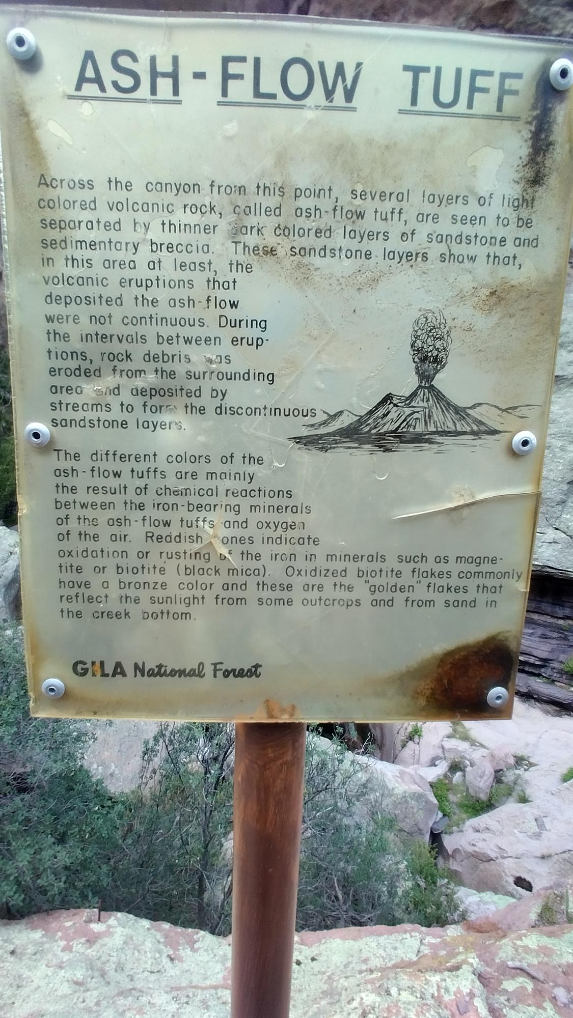
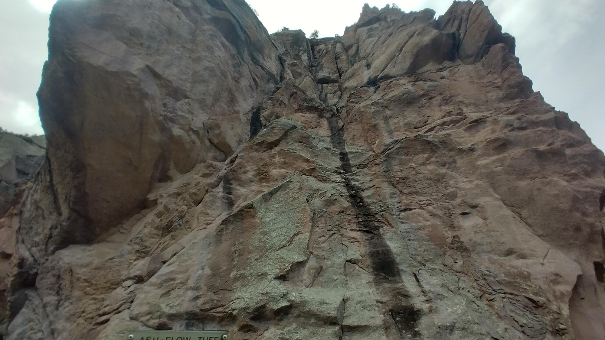
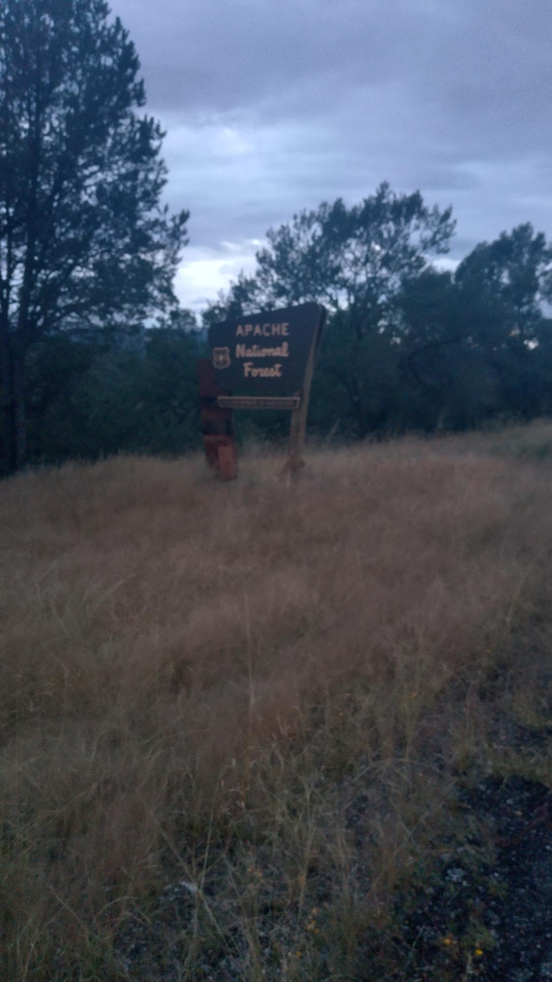
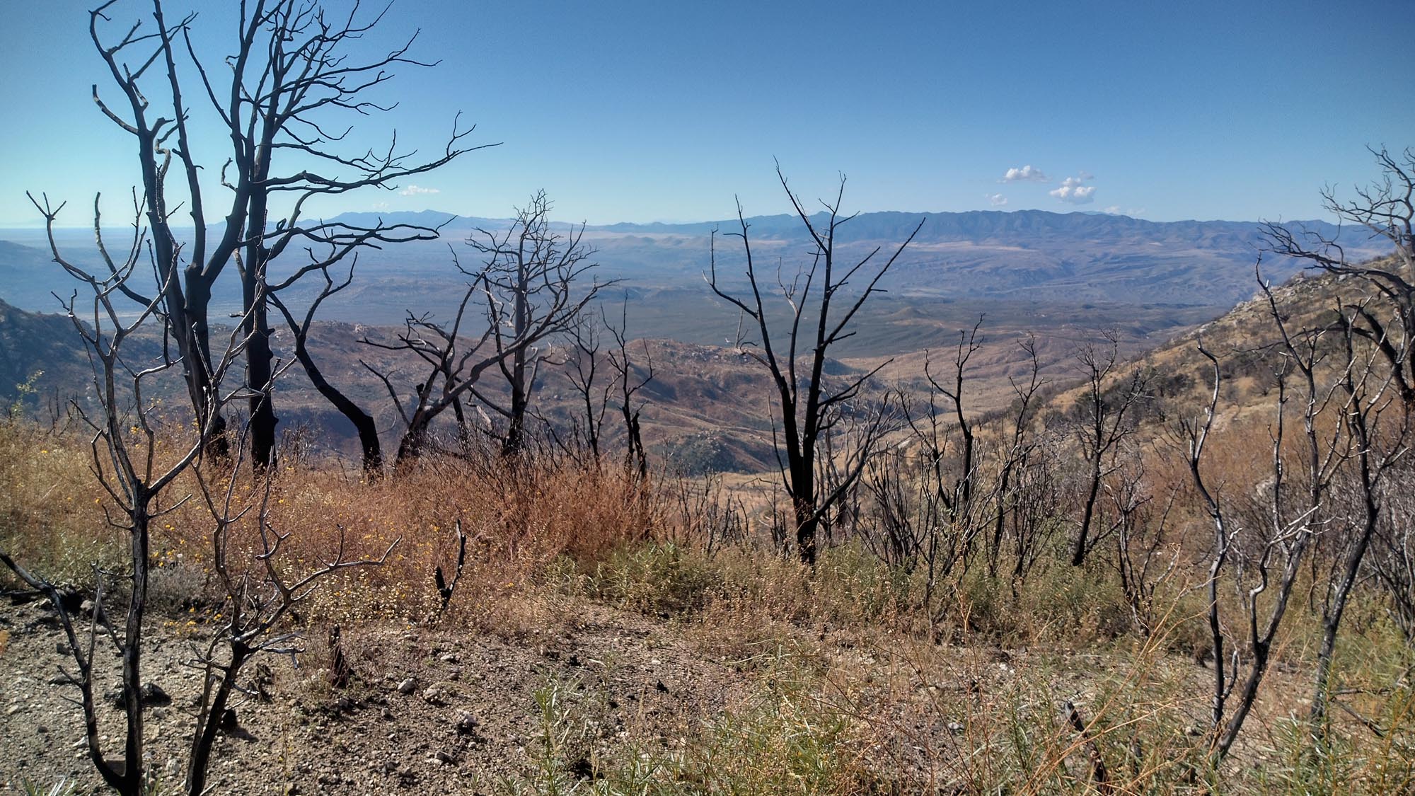
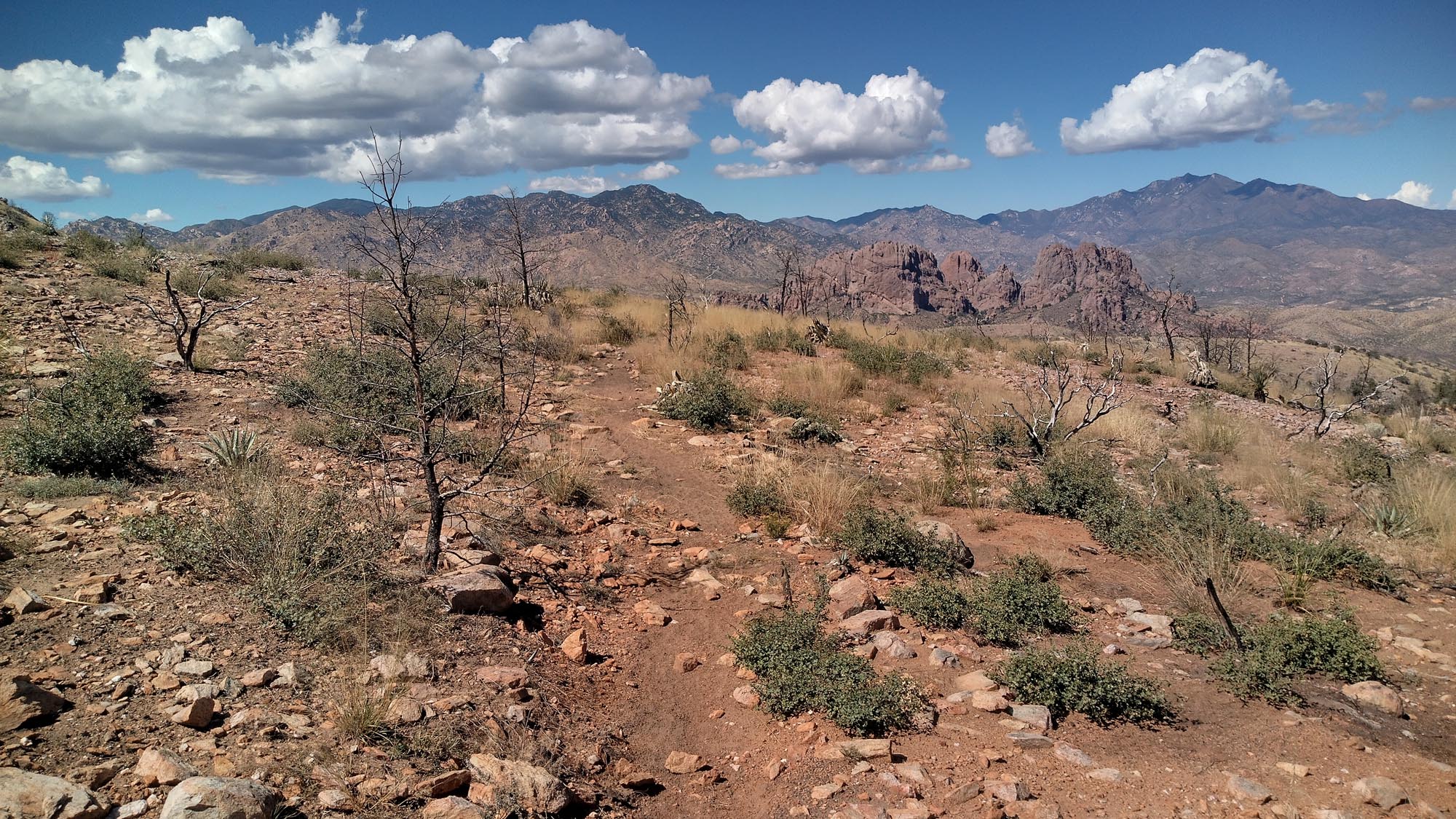
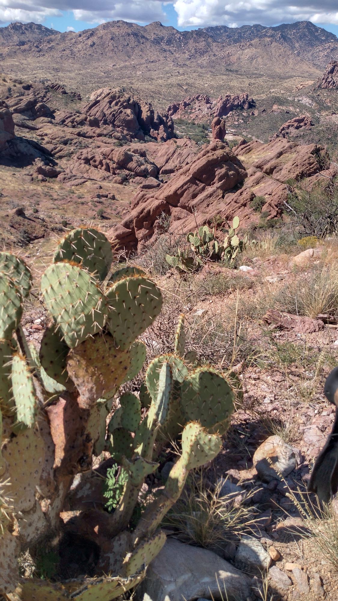
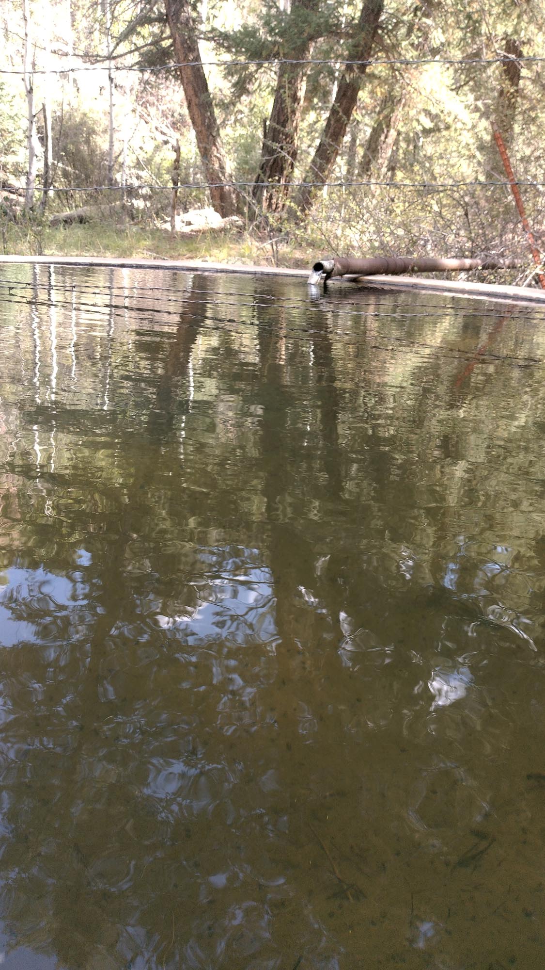
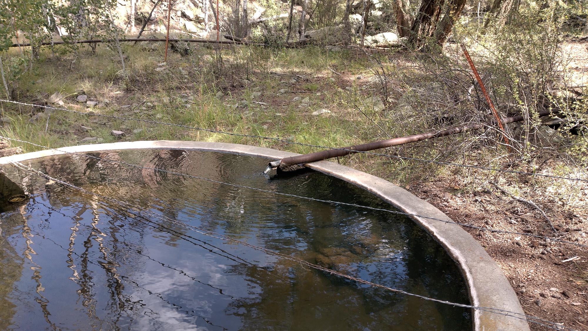
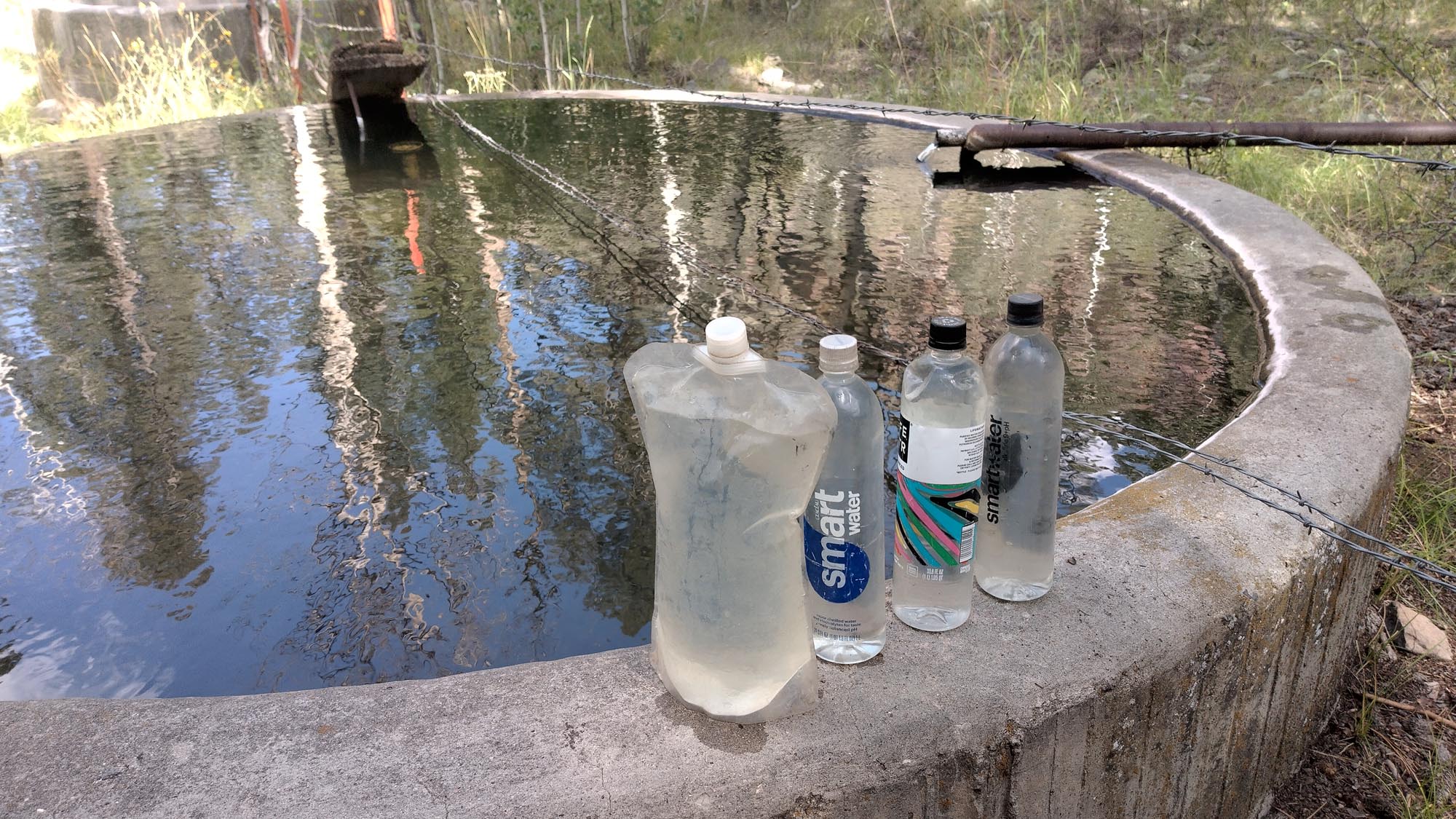
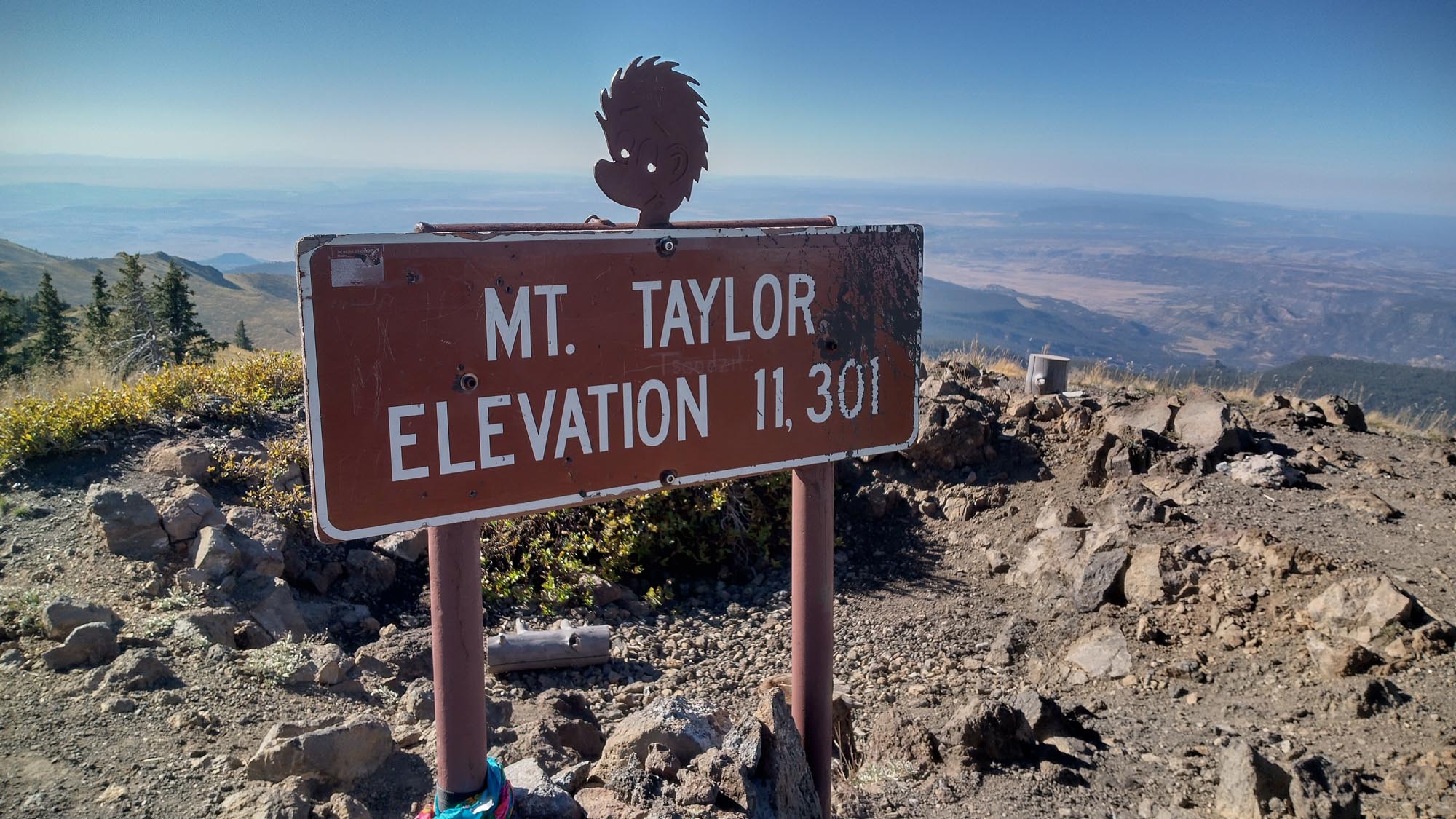
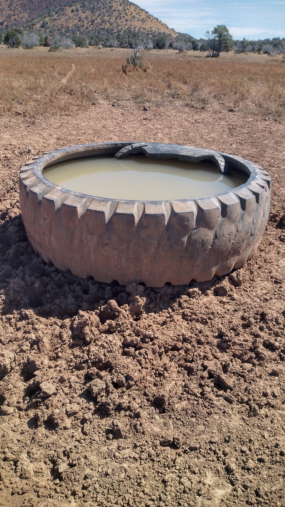
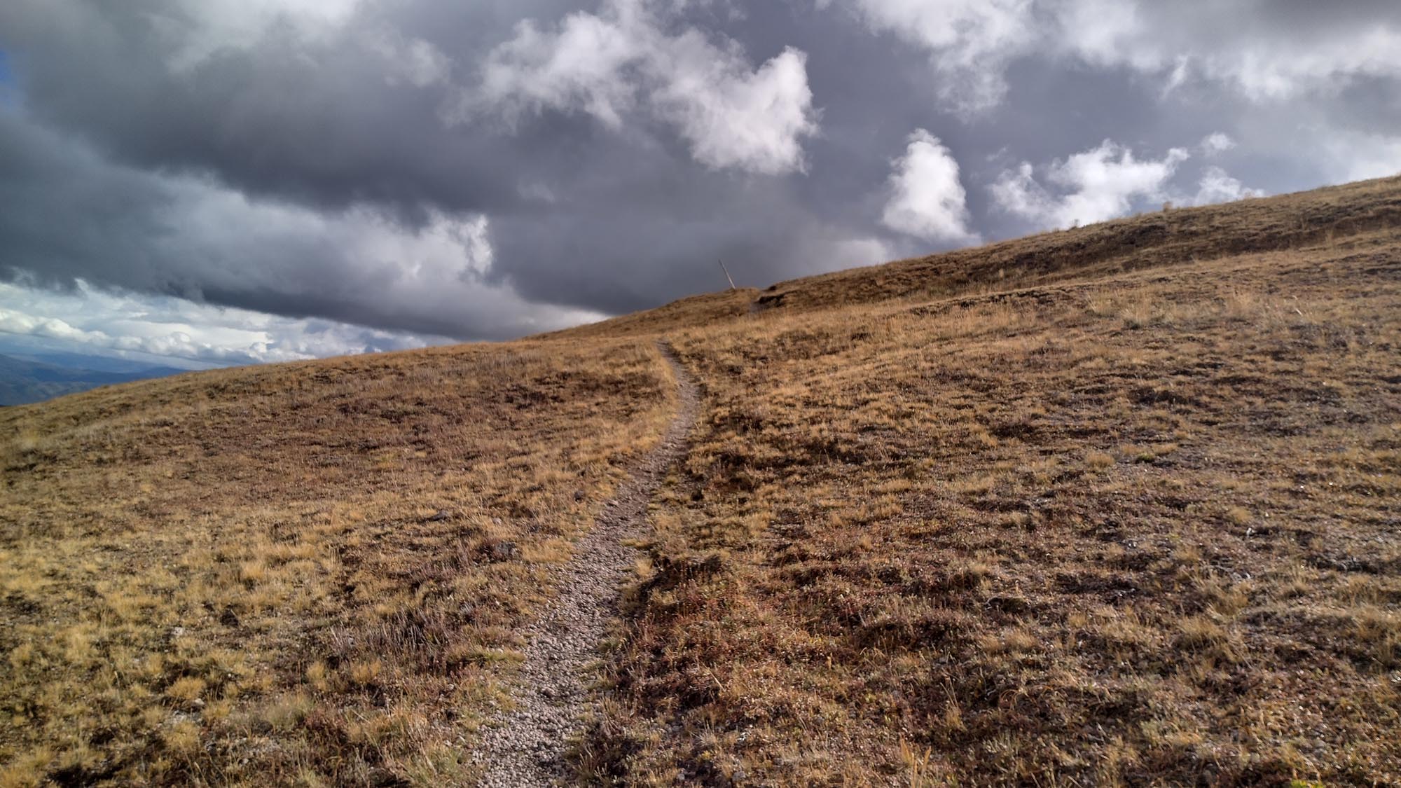
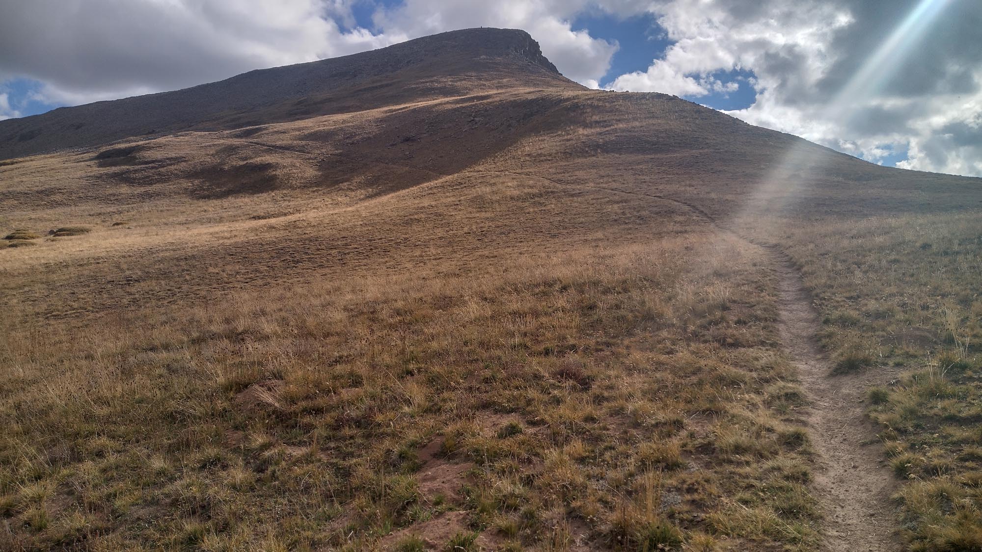
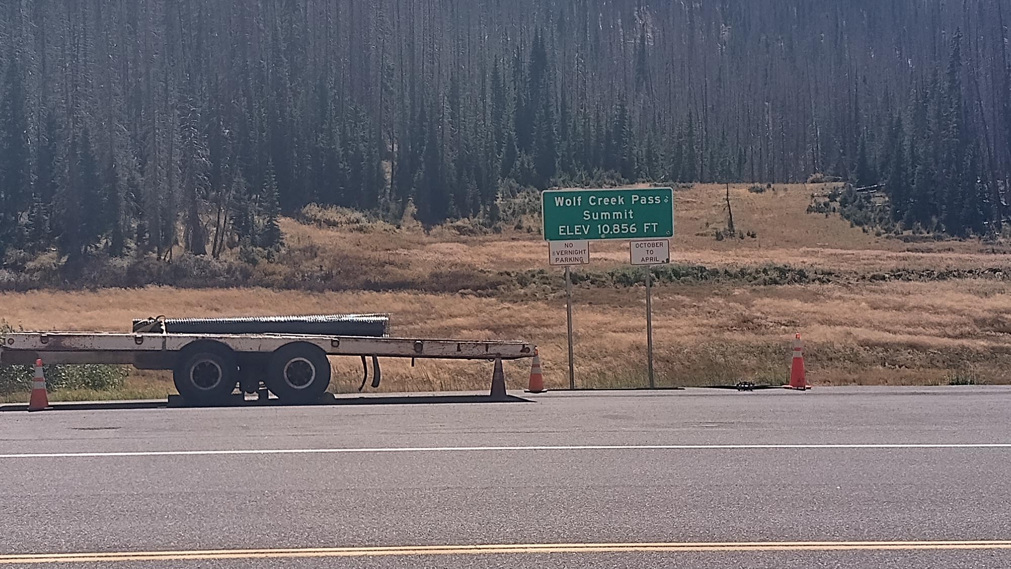
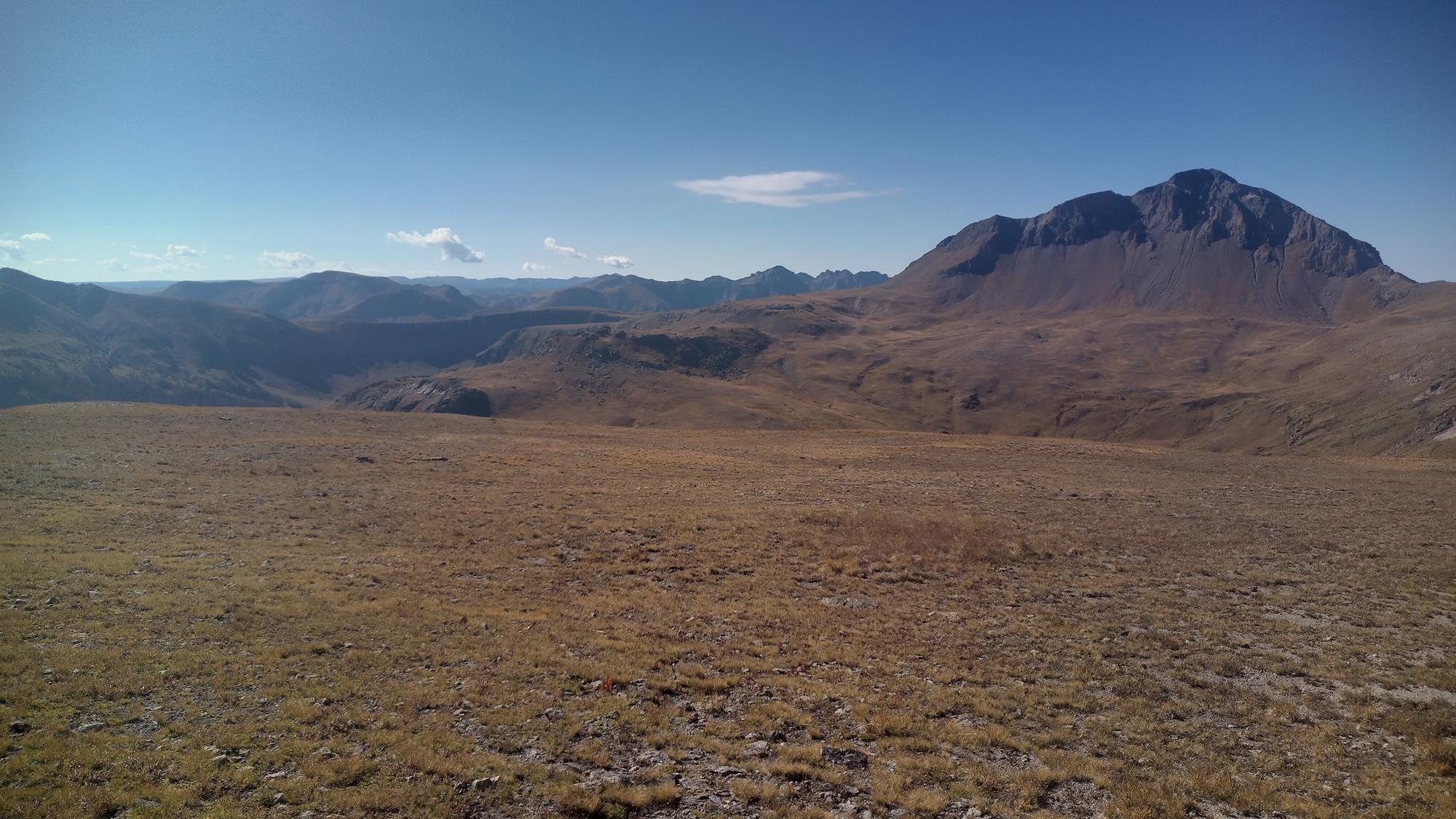
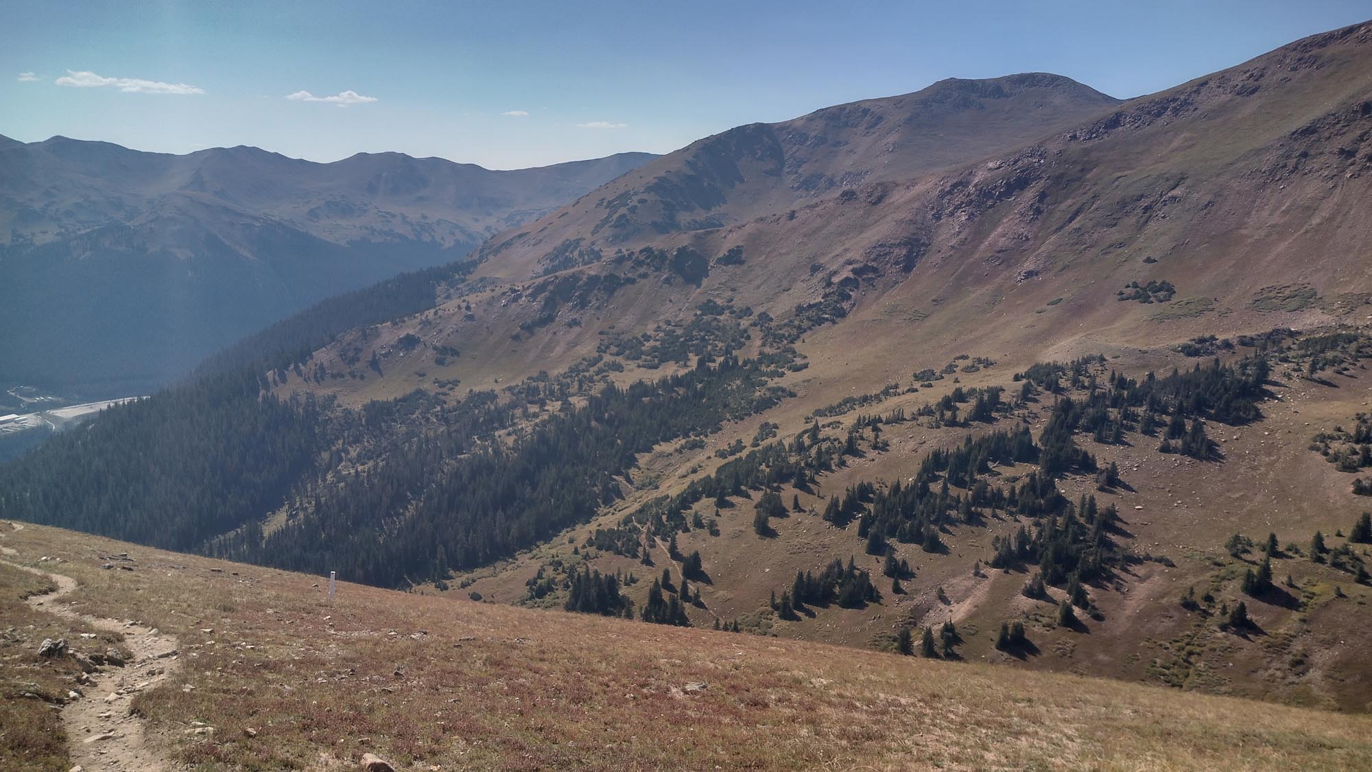
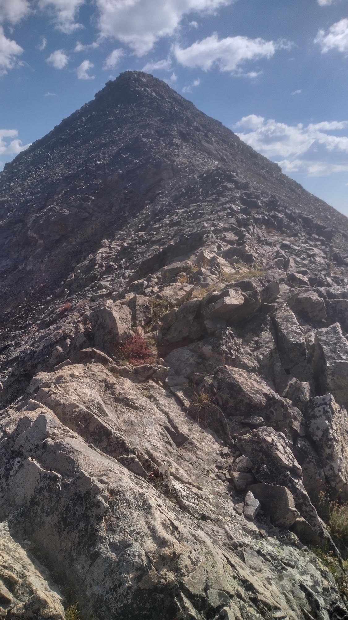
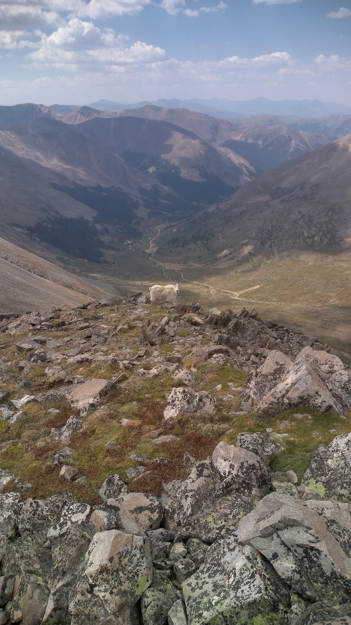
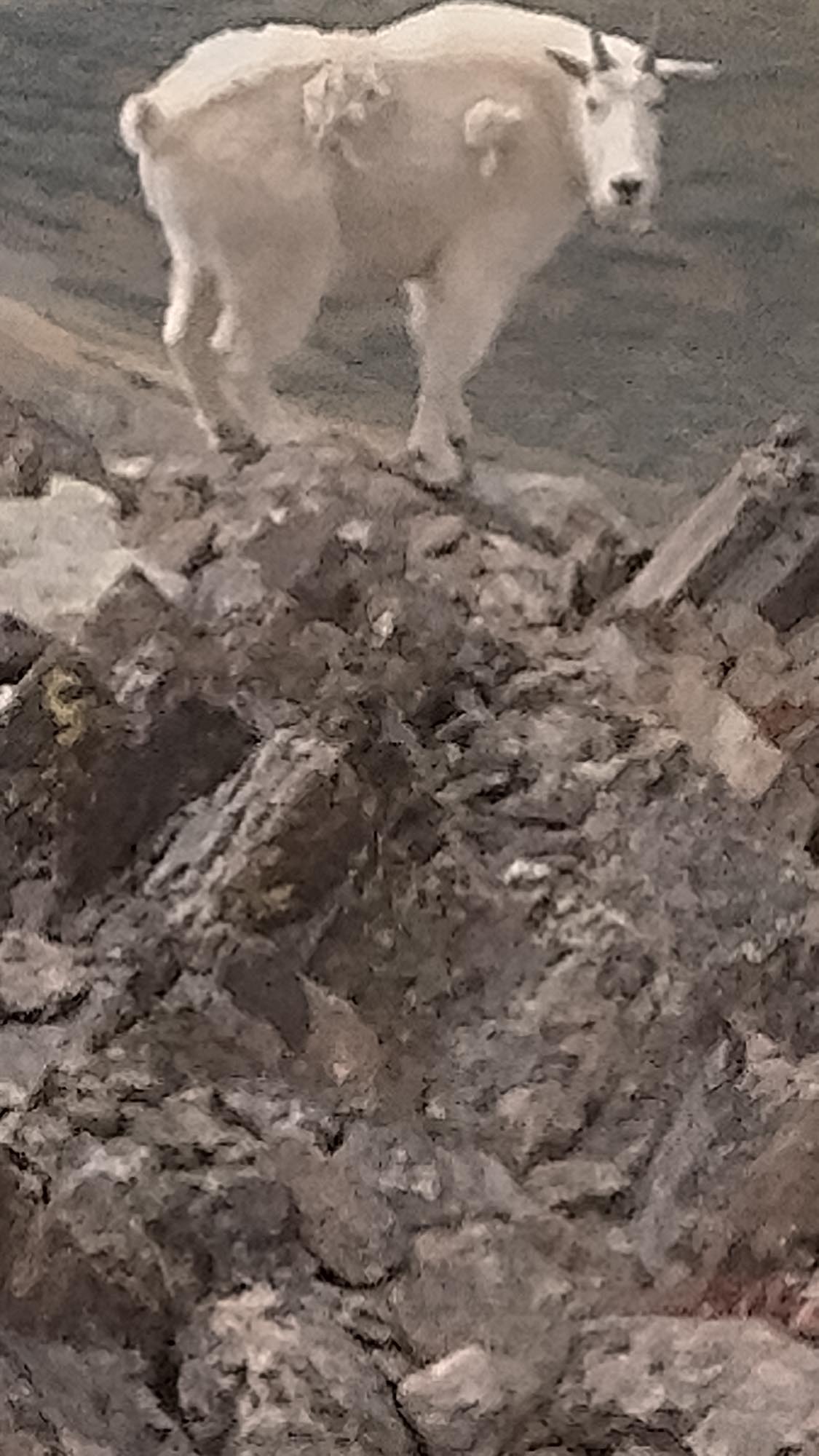
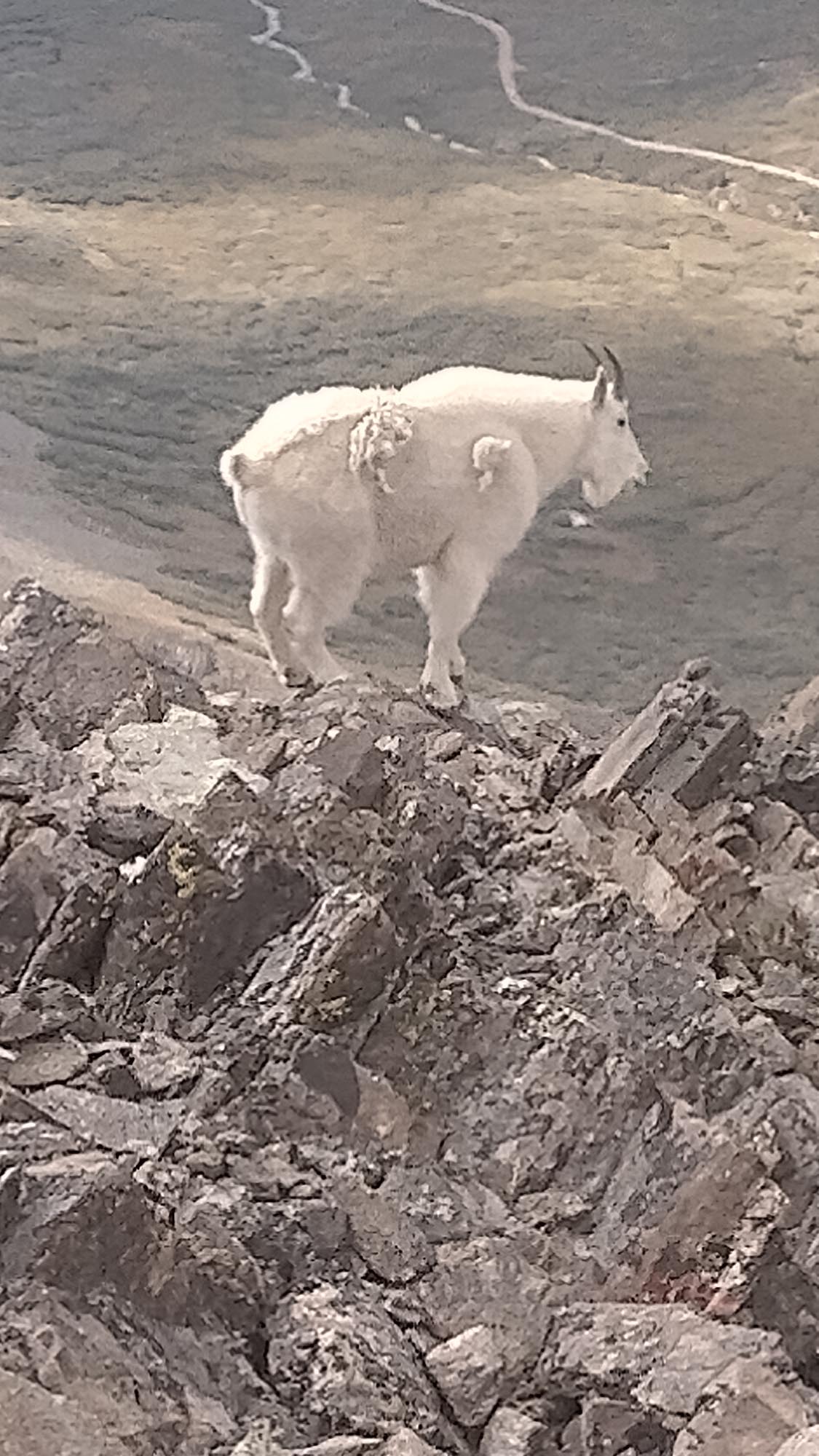
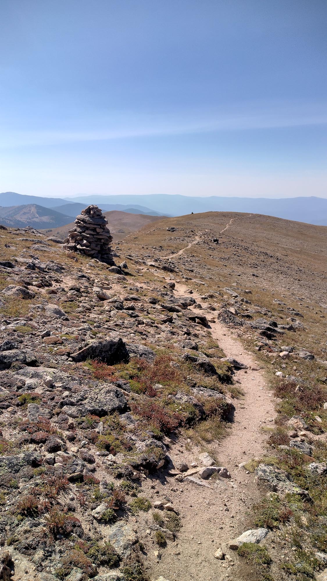
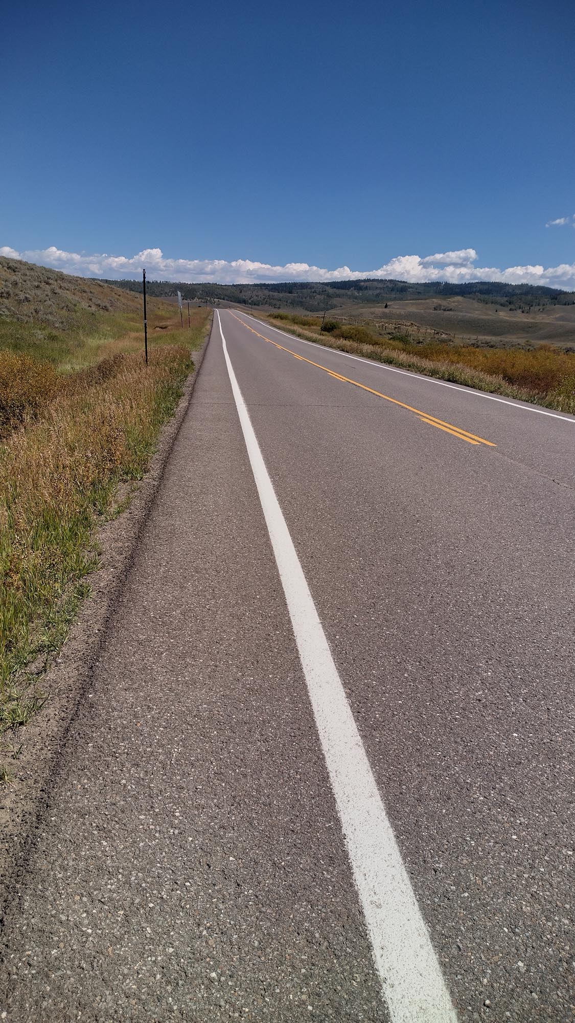
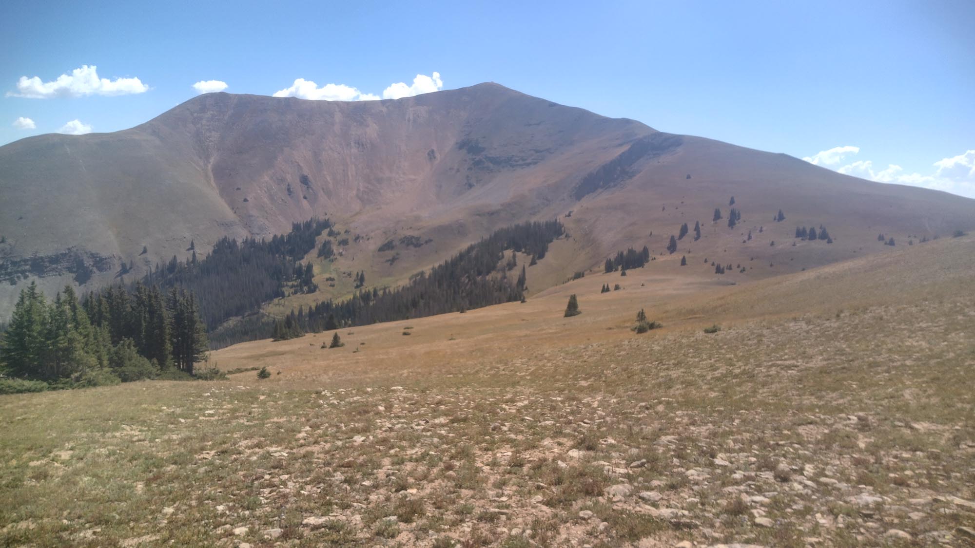
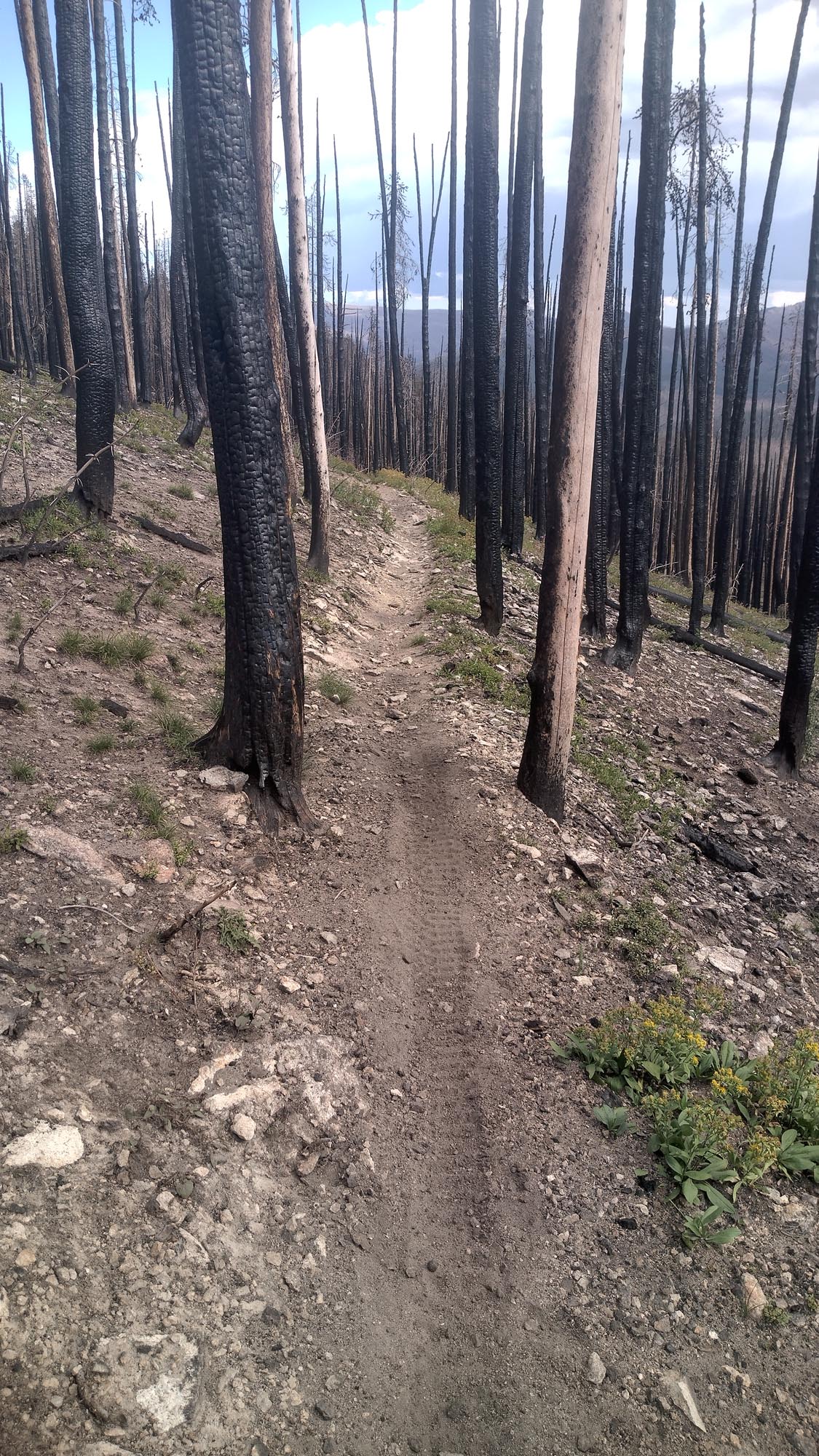
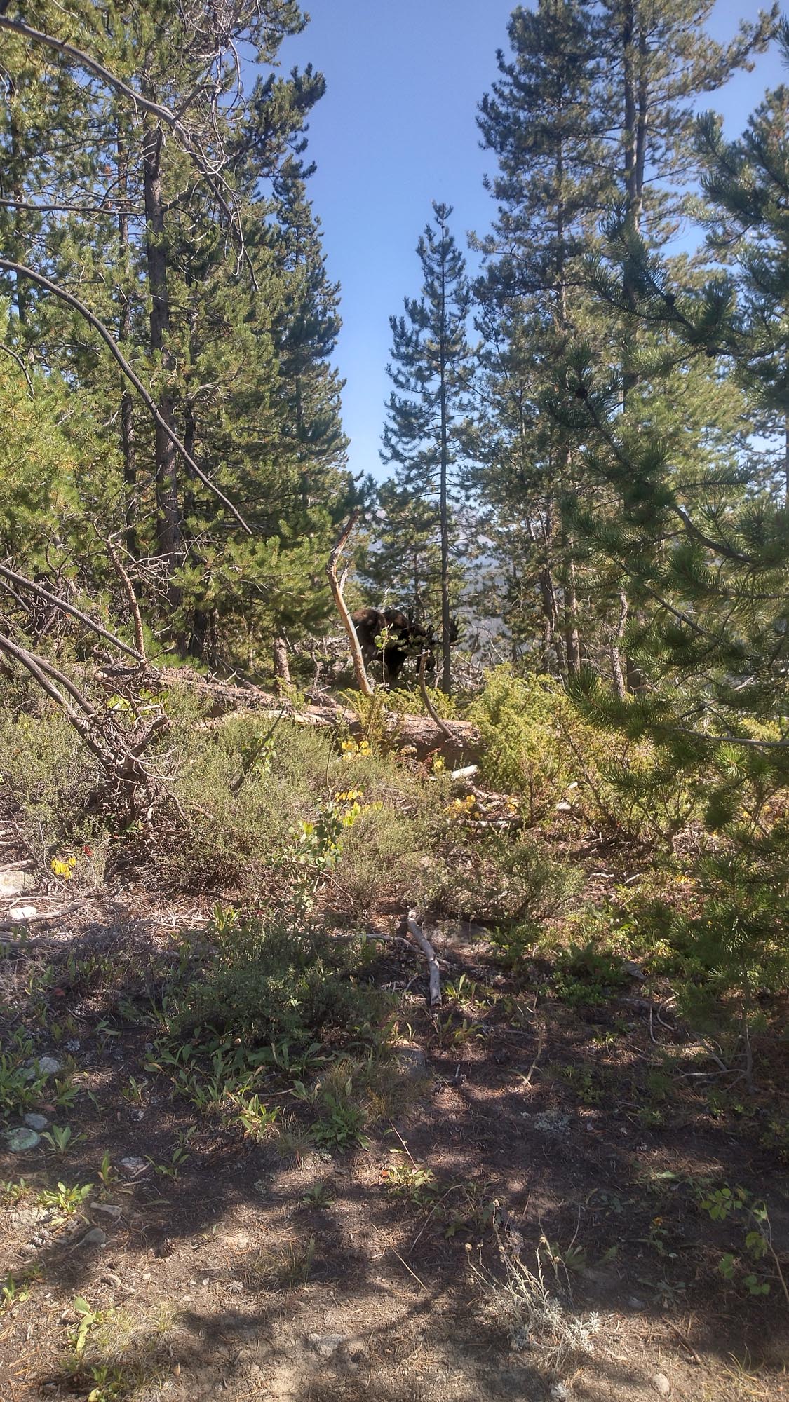
Leaving town was tough. I wasn’t used to the oppressive heat and the hot pavement. Walking west, directly into the sun, was wearing me down. By 4 pm I made it to the Arizona Trail. It’s a single track, well-marked trail, something I hadn’t seen in a while. I reached the lowest point of the AZT, just over 1,600 feet. From there, it was a 3,000-foot climb over 6 miles, and the only water for a while would be the Gila River. Flowing good and brown, I had to shoo a hoofed devil away from the spot from where I wanted to collect water. The heat beat me up and, by the end of the day, I was wiped out.

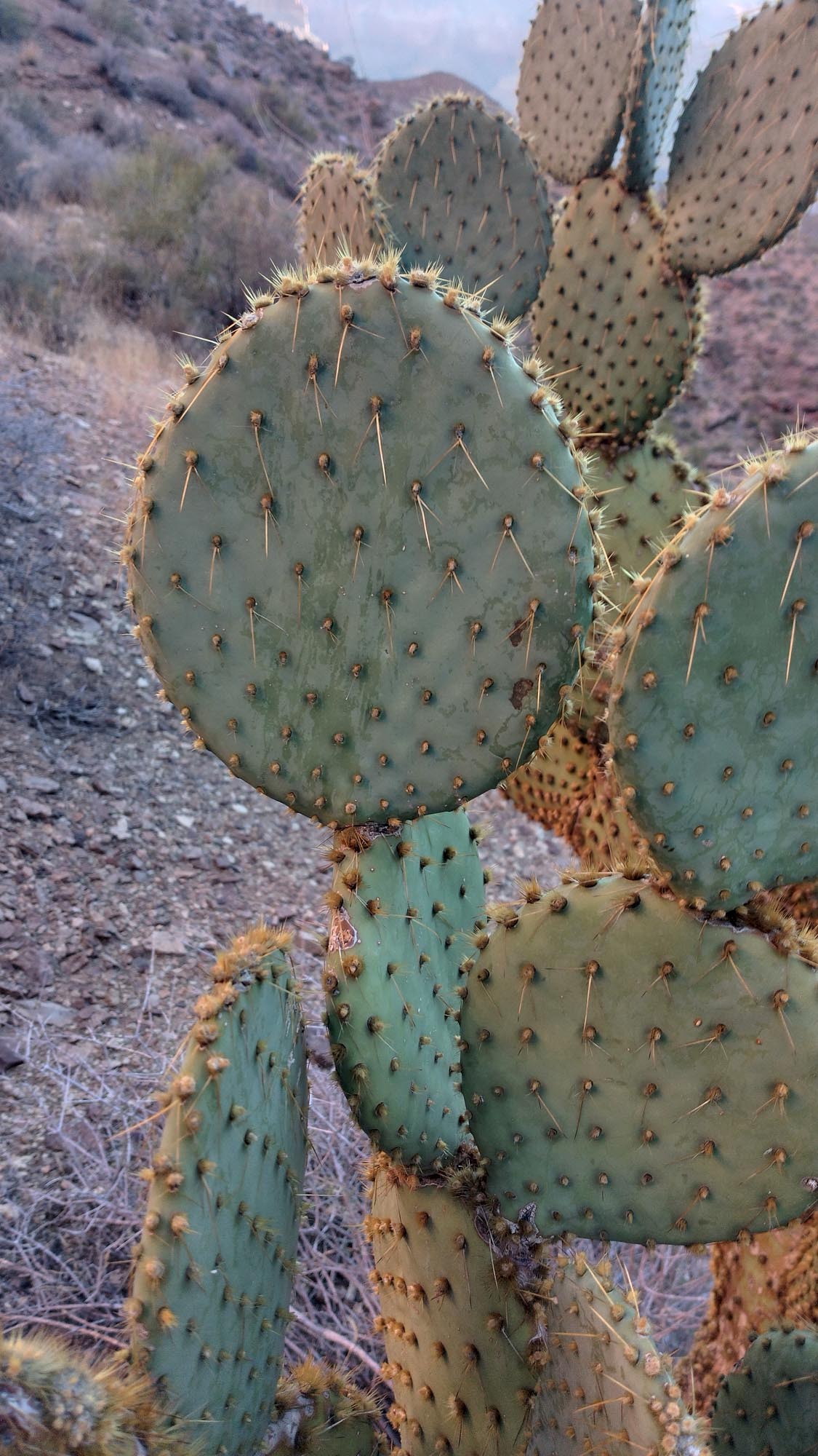
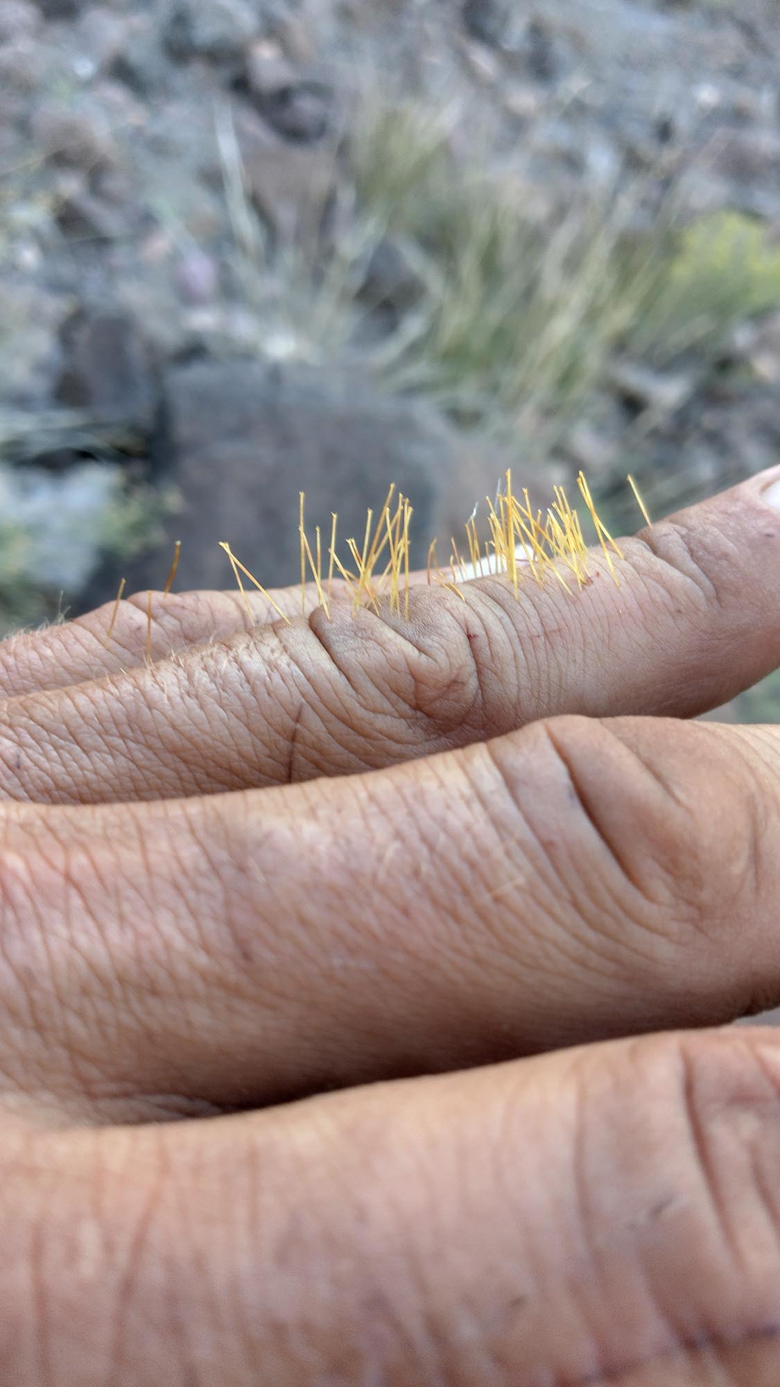
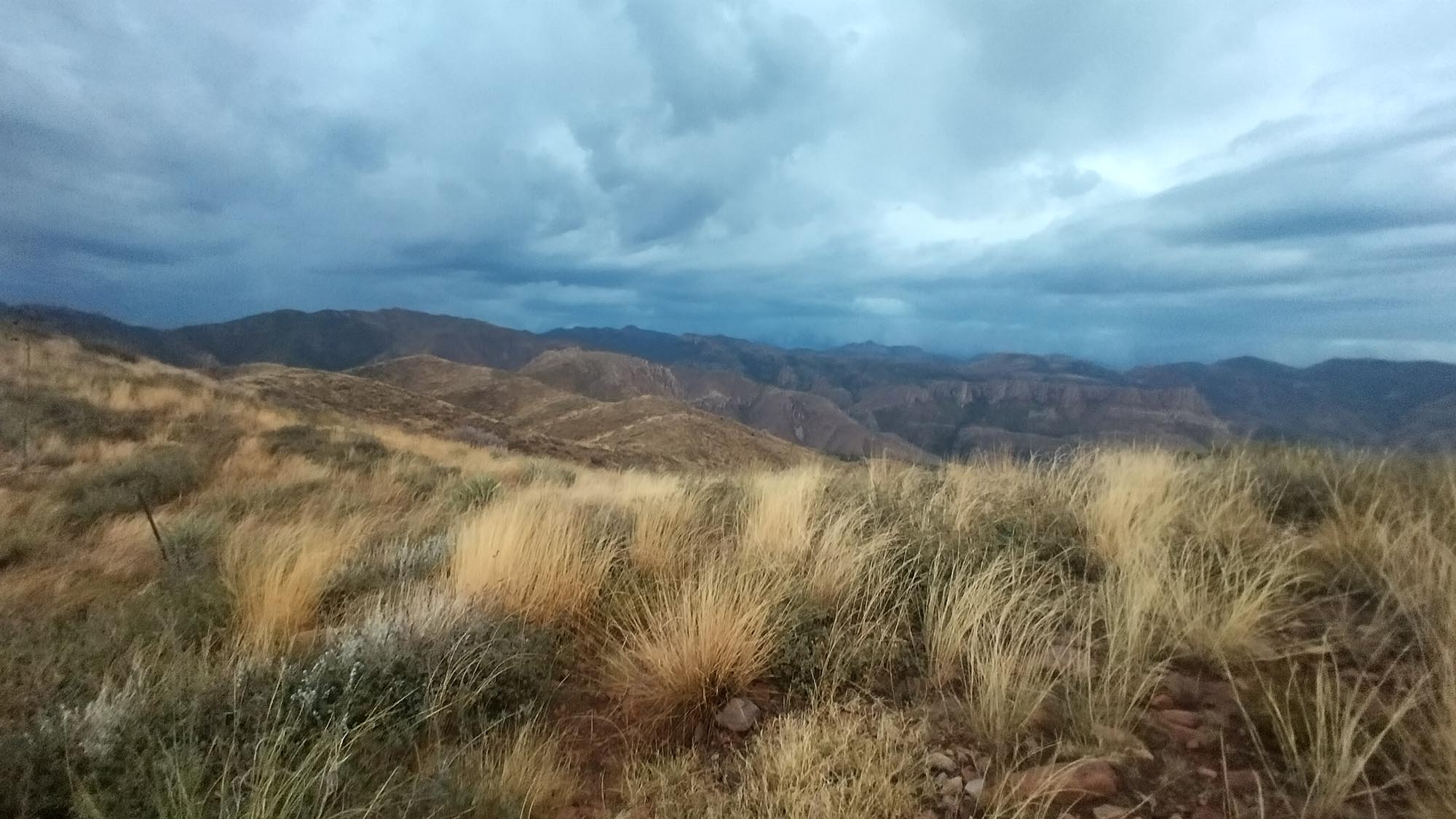
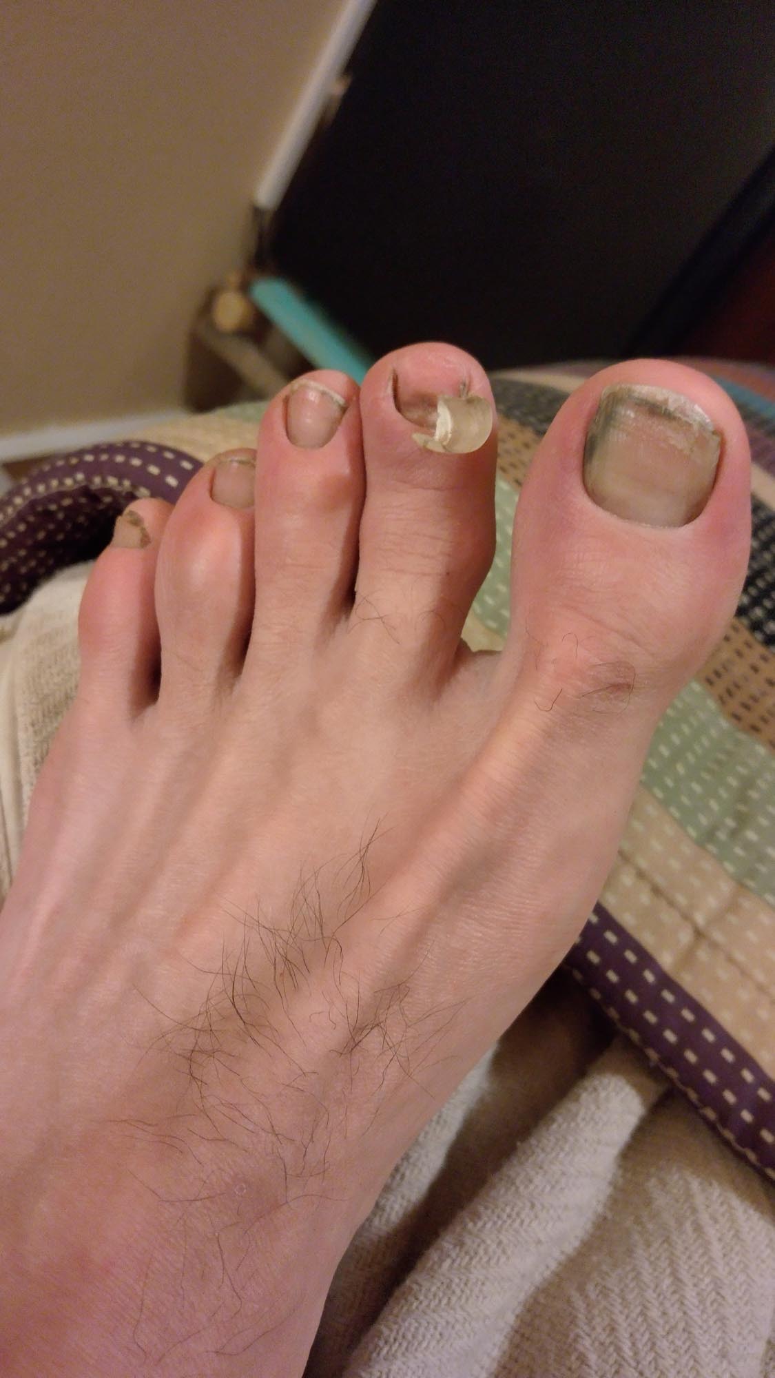
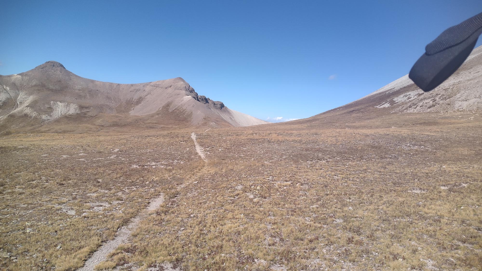
The next day started hot, of course, and then a thundershower came through and cooled everything off. Two hours later, another thundershower. It’s OK, I thought; two is OK. But I was determined to get a 40-mile day in, and I couldn’t deal with another one. It was 5:30 pm and, as I was ascending a mountain, I heard it and looked behind to see the darkest set of clouds, complete with thunder and lightning, coming my way. I pushed hard and, by 5:45, I was getting downpoured on. There was lightning shooting all around me so, as quick I as I could, I set my tent up in a small grove of trees; but not well, more like a temporary lean-to to protect myself because I really didn’t have time. This storm came over the top of me and I thought this could be it. I had a good run. In my fury to set up my tent, I had kicked a cactus so, as this crazy thing was happening above me, I was pulling thorns out of my foot.

This was certainly a low point for me on the trail. I felt like I just couldn’t catch a break. I needed as close to 40 miles today, and it wasn’t going to happen, AGAIN! Why do I care about my pace and mileage so much? you might be wondering. Why am I not just hiking the way a normal thru-hiker does, with multiple rest days and hiking whatever I can during the day? Well, I’ve only told a few people up to this point, but I might as well say it. I’m trying to become the first person to break 200 days on the Great Western Loop. It has never been done before. The fastest is 208 days. That’s why I’ve pushed so hard, that’s why I’ve talked a lot about my mileage and pace. BUT being stuck on the side of a mountain in a lightning storm, soaking wet in the dark, is not part of the plan.

This is where I had a decision to make. Do I fix my tent, hunker down for the night and ride this storm out, with 25 miles for the day? Do I just forget about this whole sub-200 thing? Or do I pack up my soaking wet gear, in the rain and lightning, and try and eek out another 6 plus miles before calling it a day? Screw that! I had gone 6,100 miles up to that point in 179 days. I wasn’t going to lose it now. I packed up in the storm, flipped off the sky and hiked my ass off. If I was struck, I was struck, but I was done allowing this crazy weather to dictate my hiking pace.

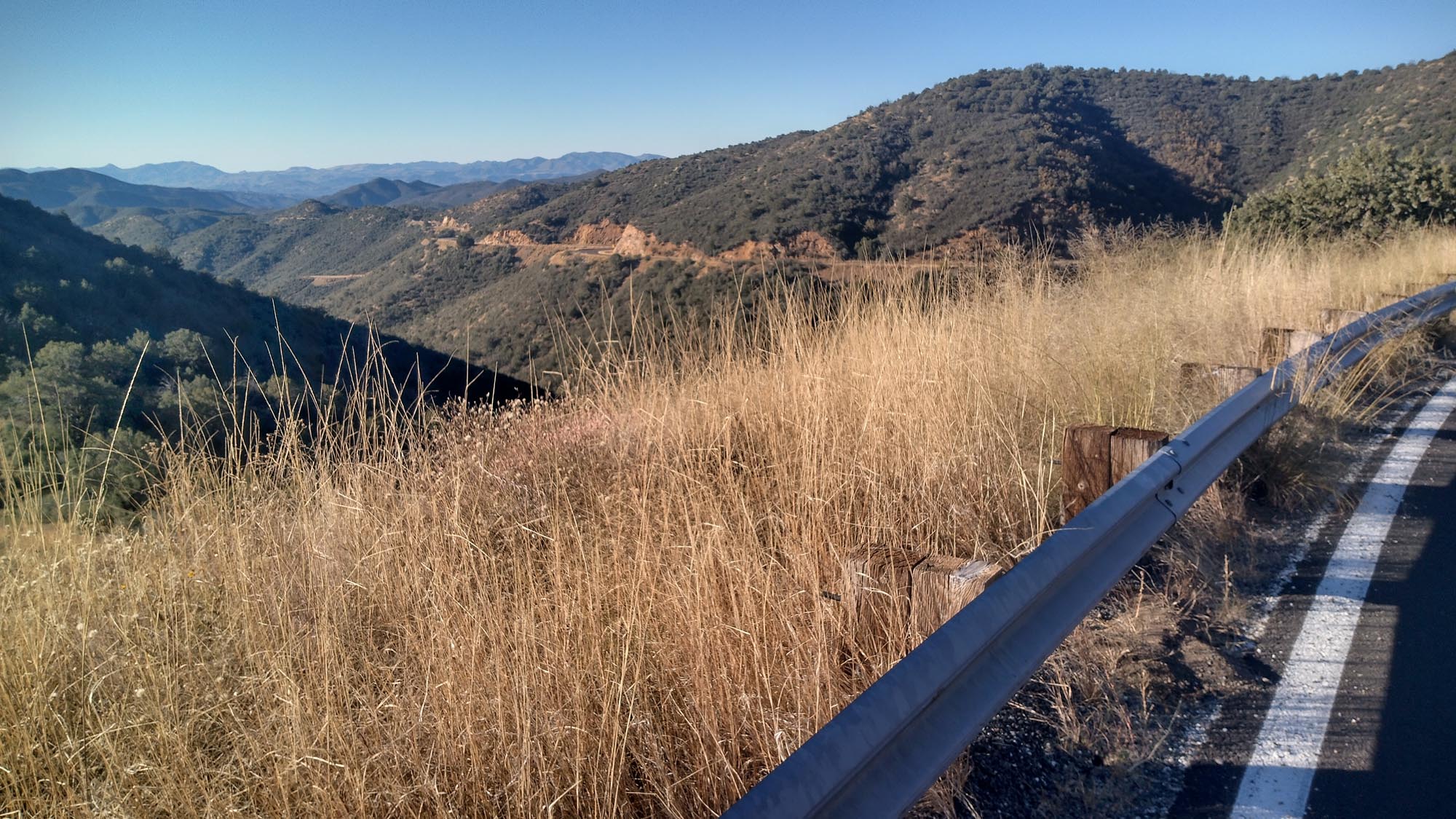
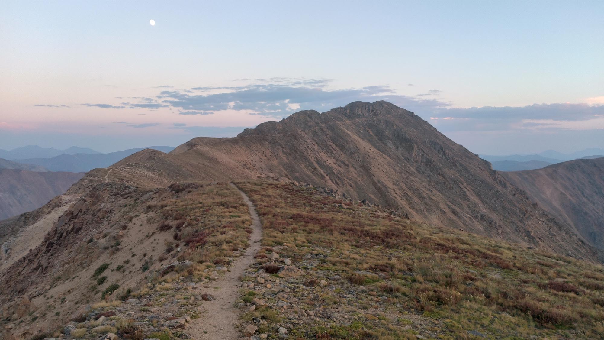
I went up and over mountains as fast as I could, down through canyons and pushing through overgrowth. An additional 7.5 miles in for the day, another cold and wet night. I was still in this.

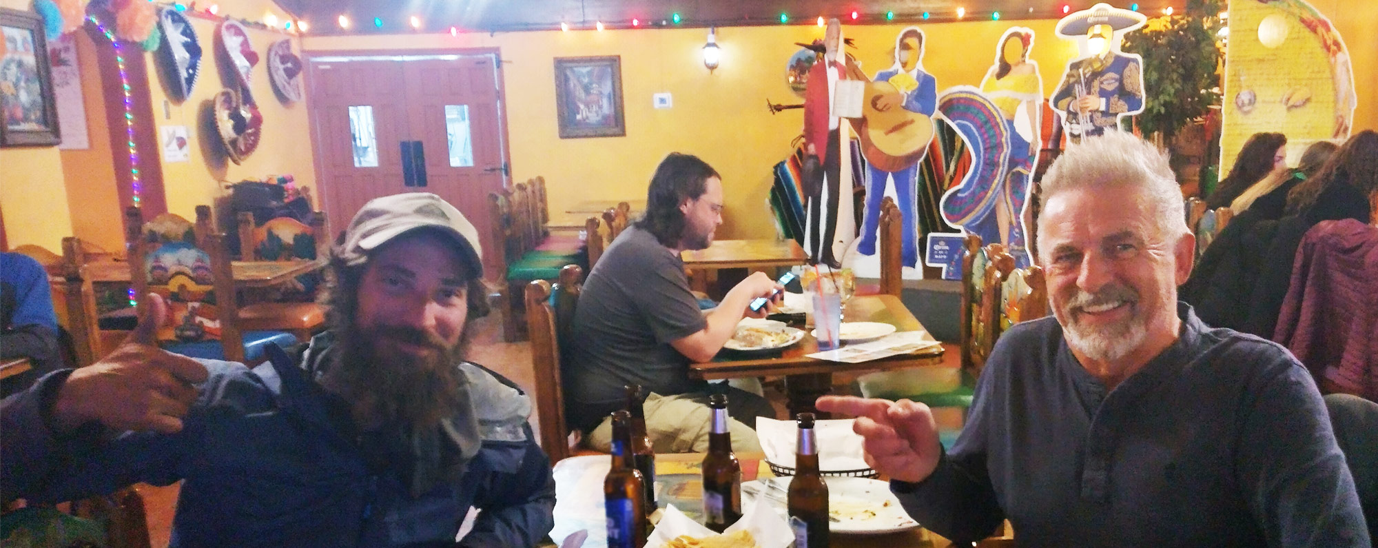
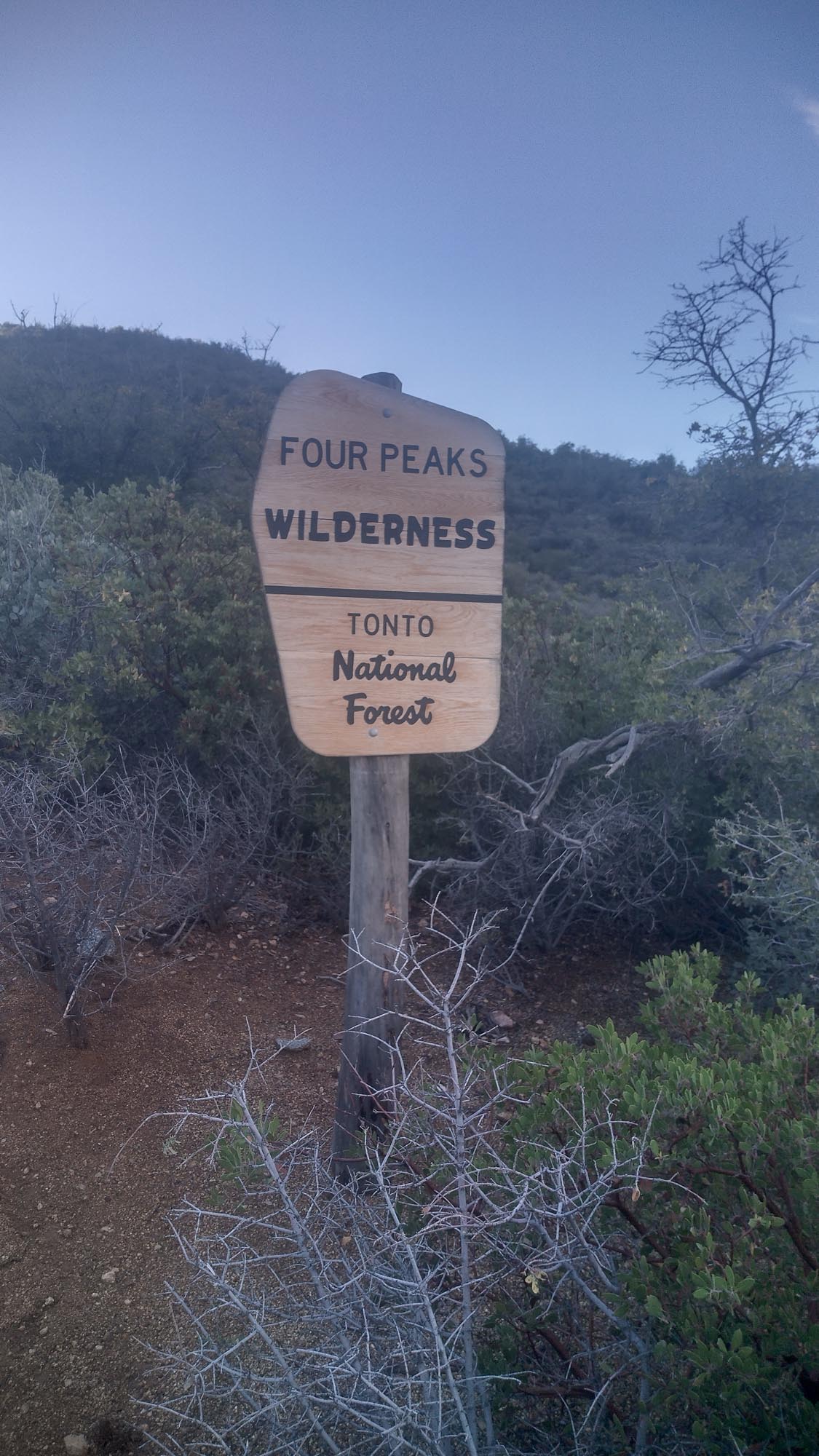
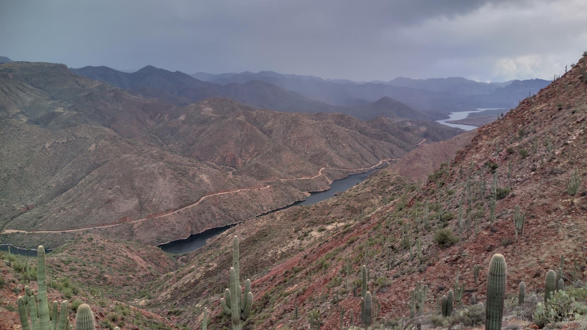
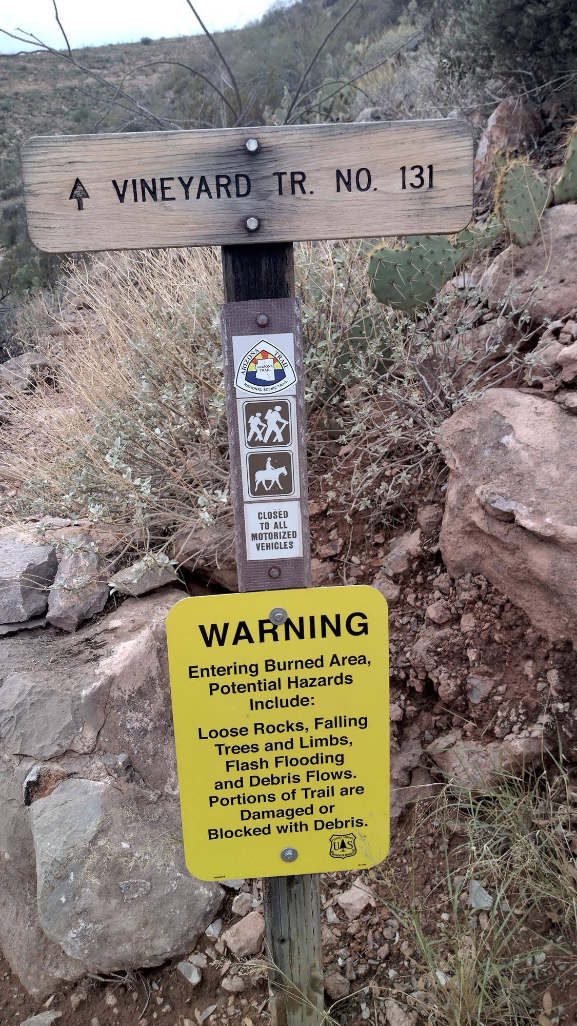
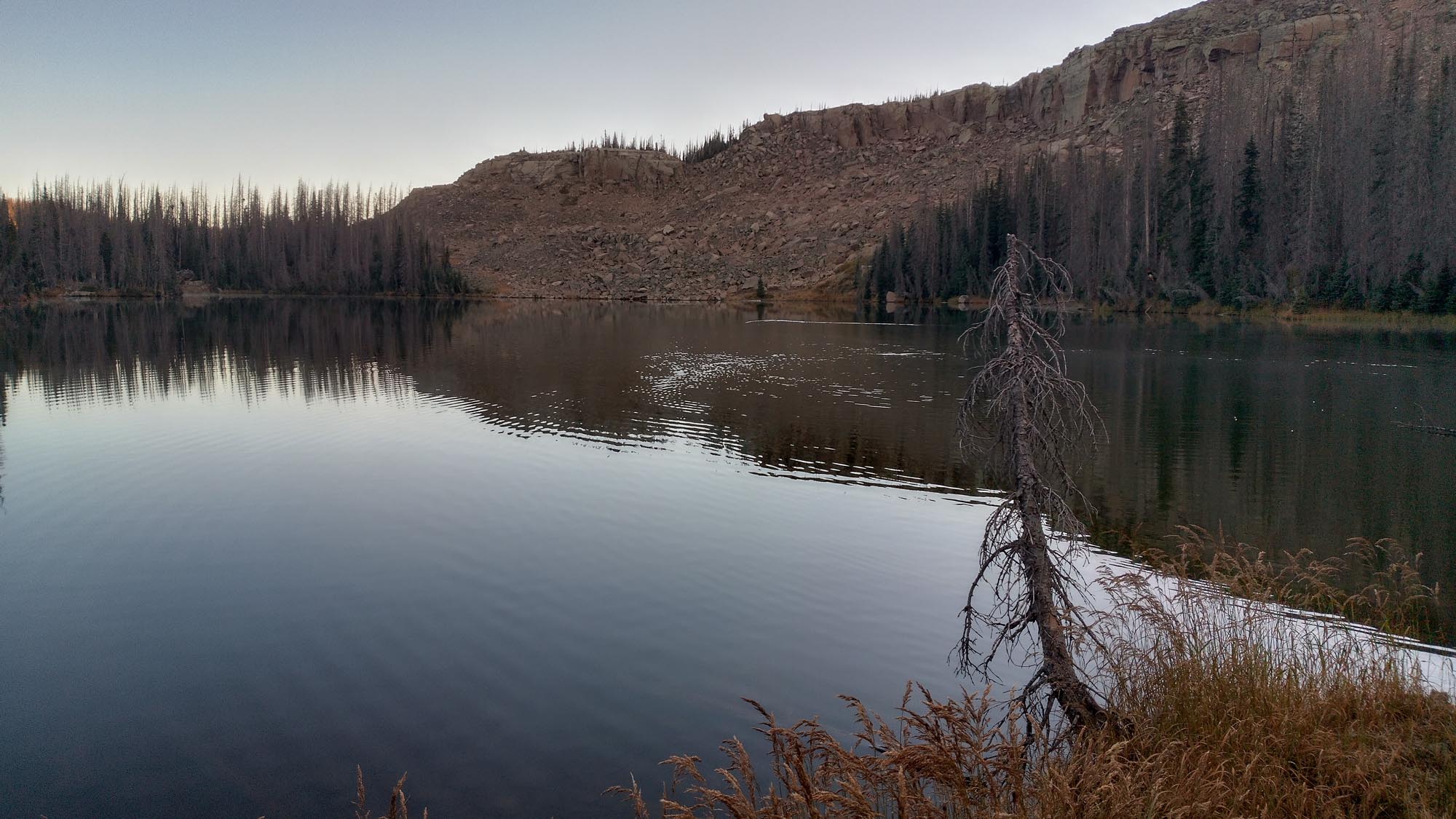
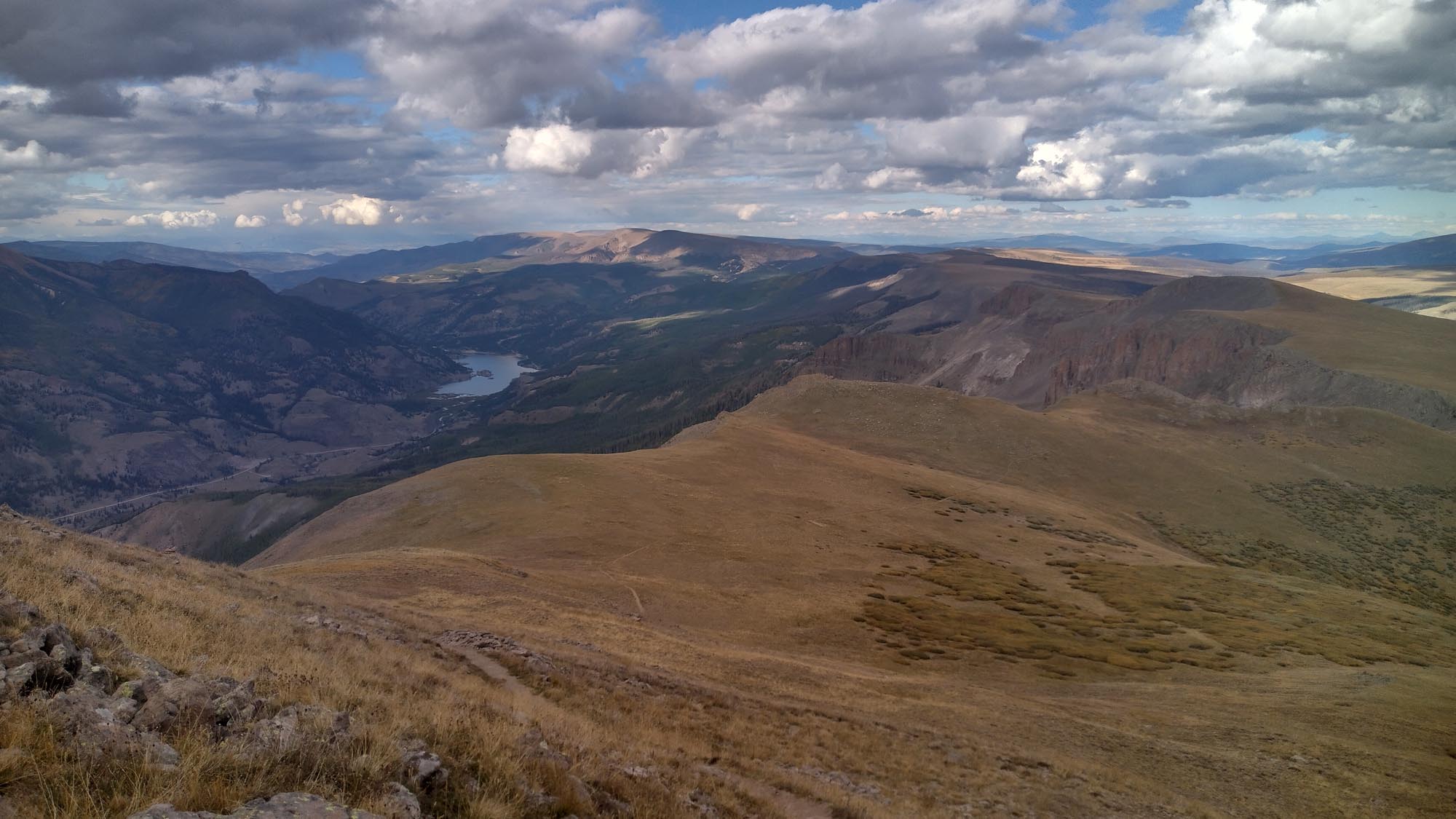
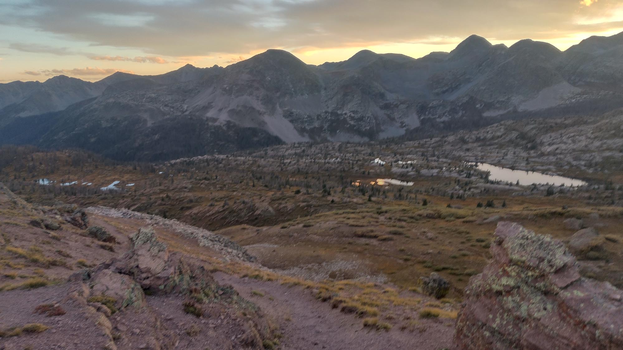
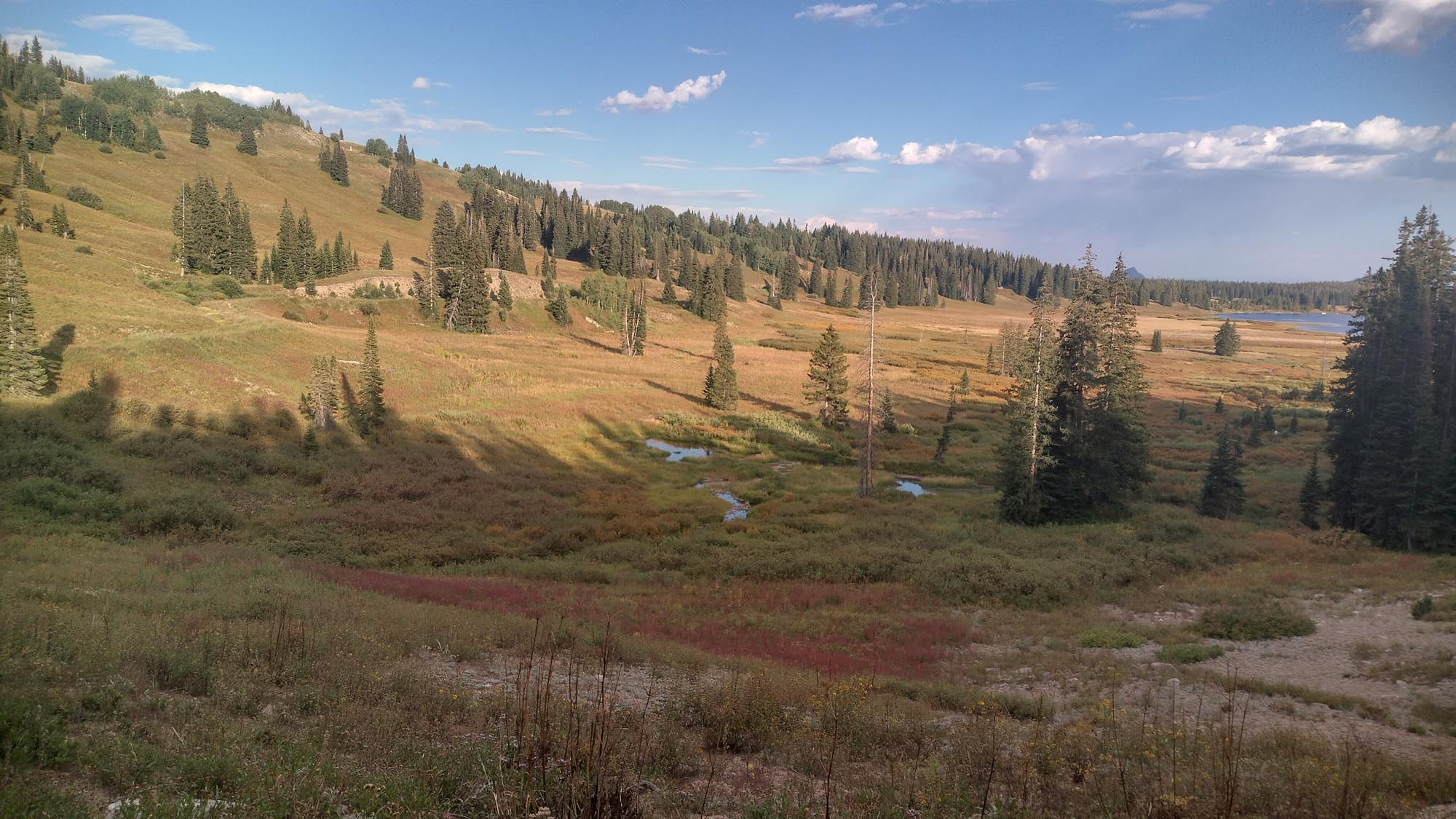
The next morning, I made it to Roosevelt Lake Marina, dried my stuff, ate some real food, and ran into “Penguin”, a guy I had hung out with in Mammoth back in ’17. Cat at the Marina was nice and said these storms were not normal. I left there at noon, with a big climb out on the Vineyard Trail.

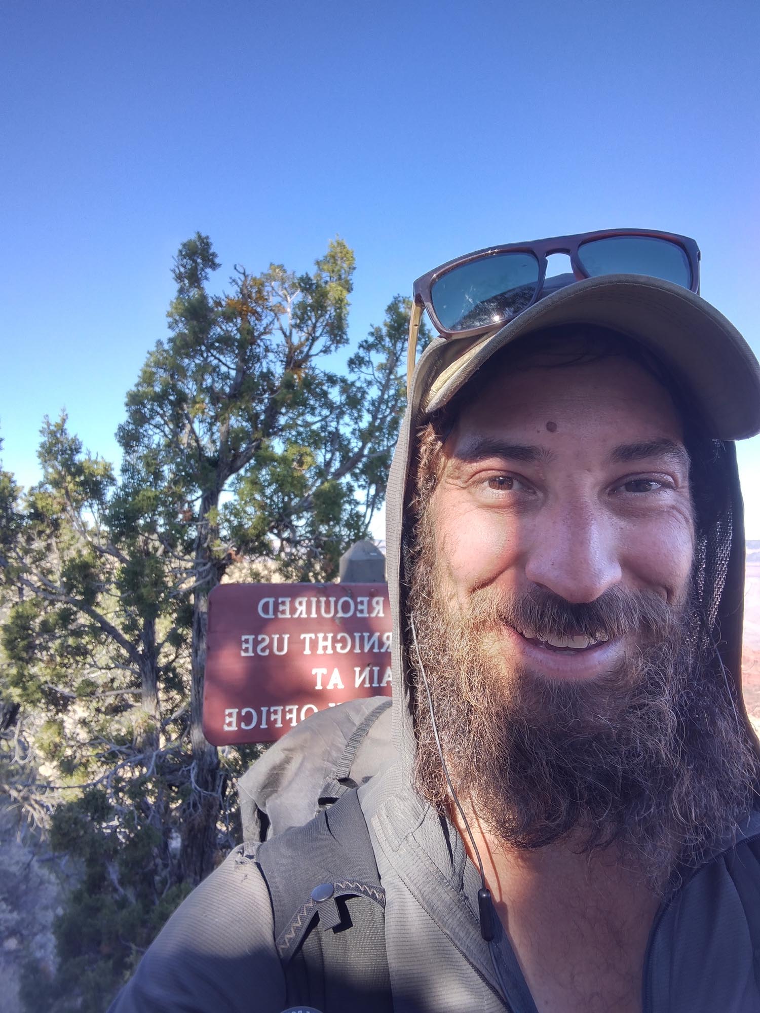
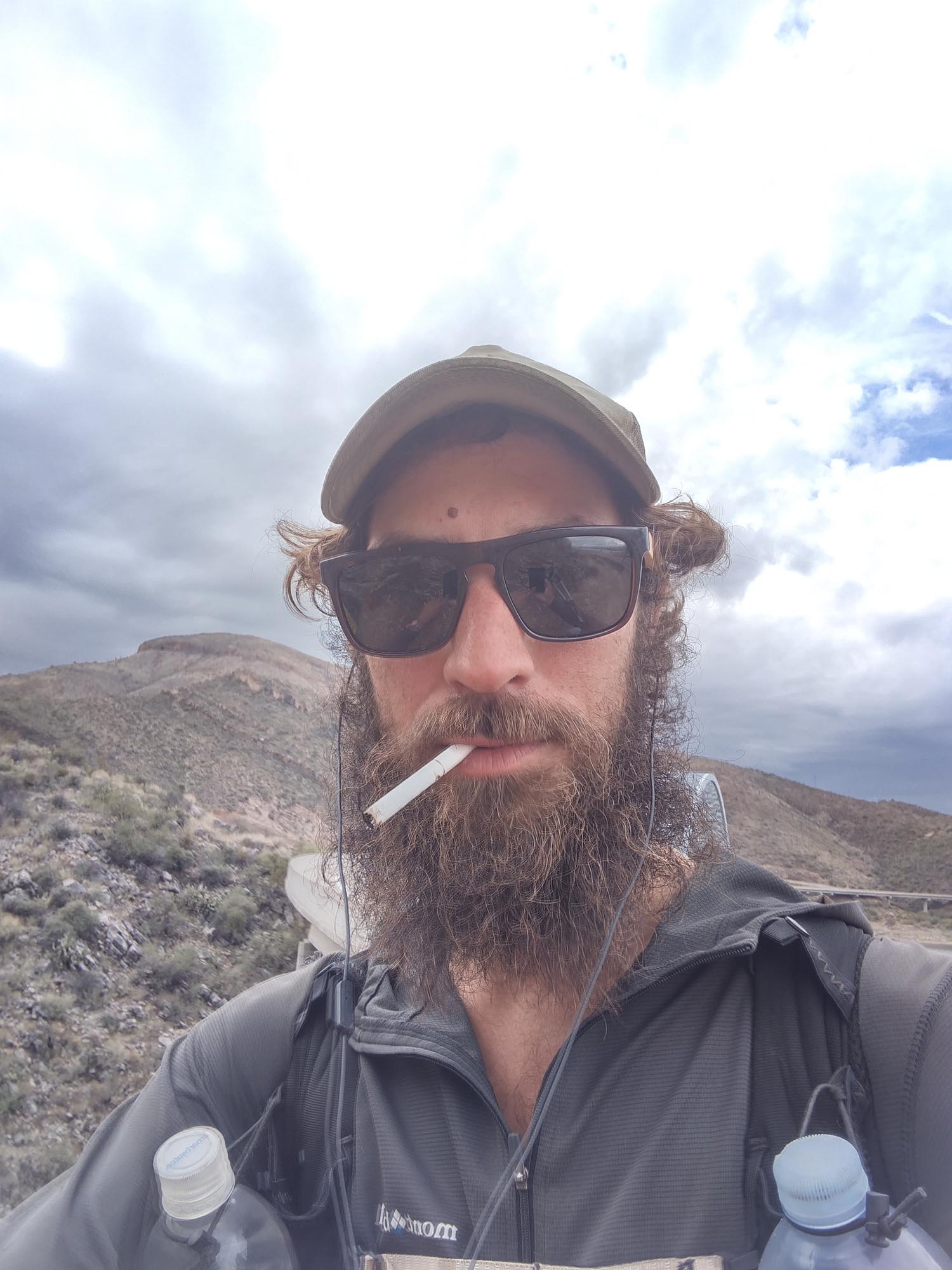
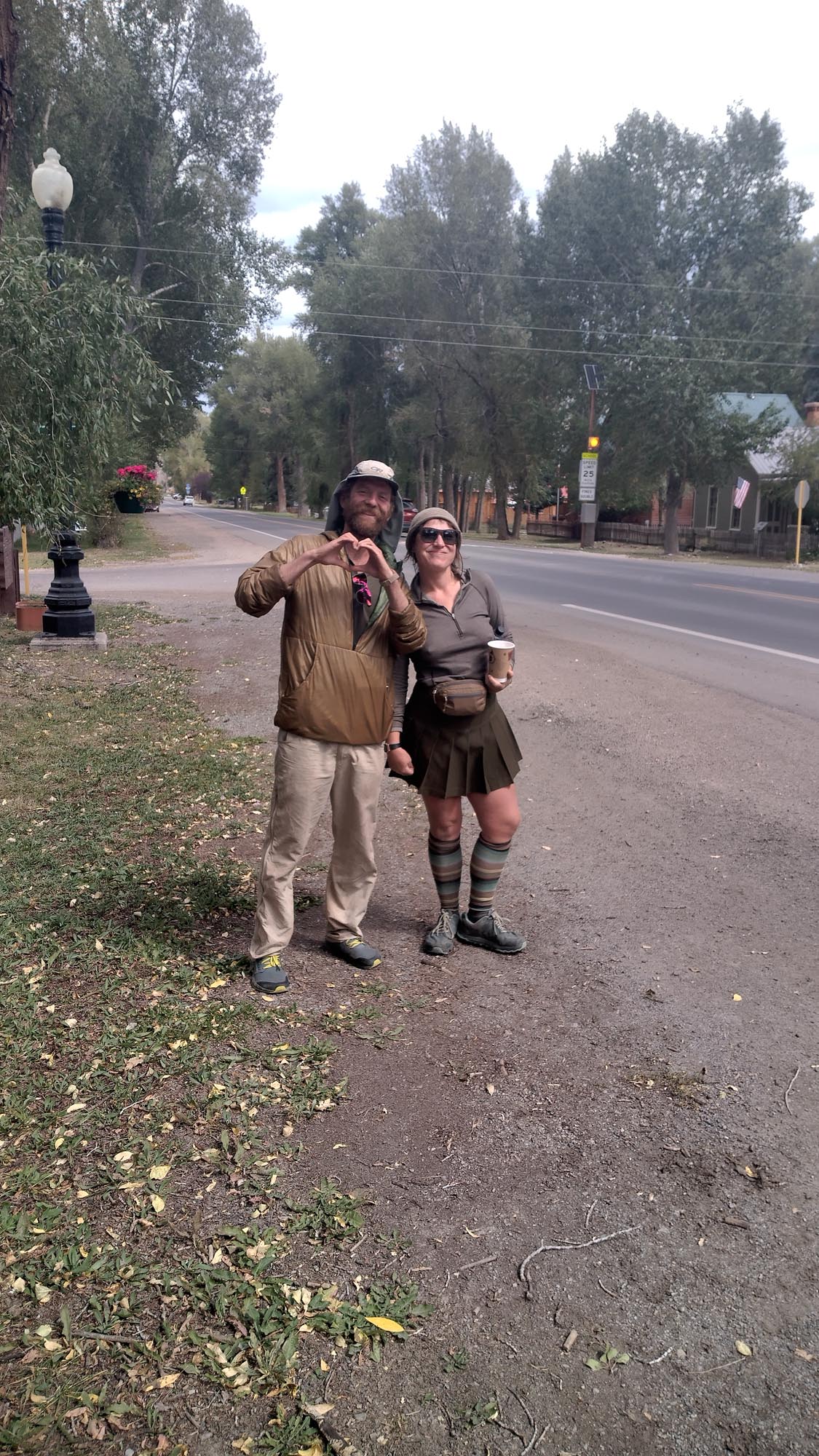
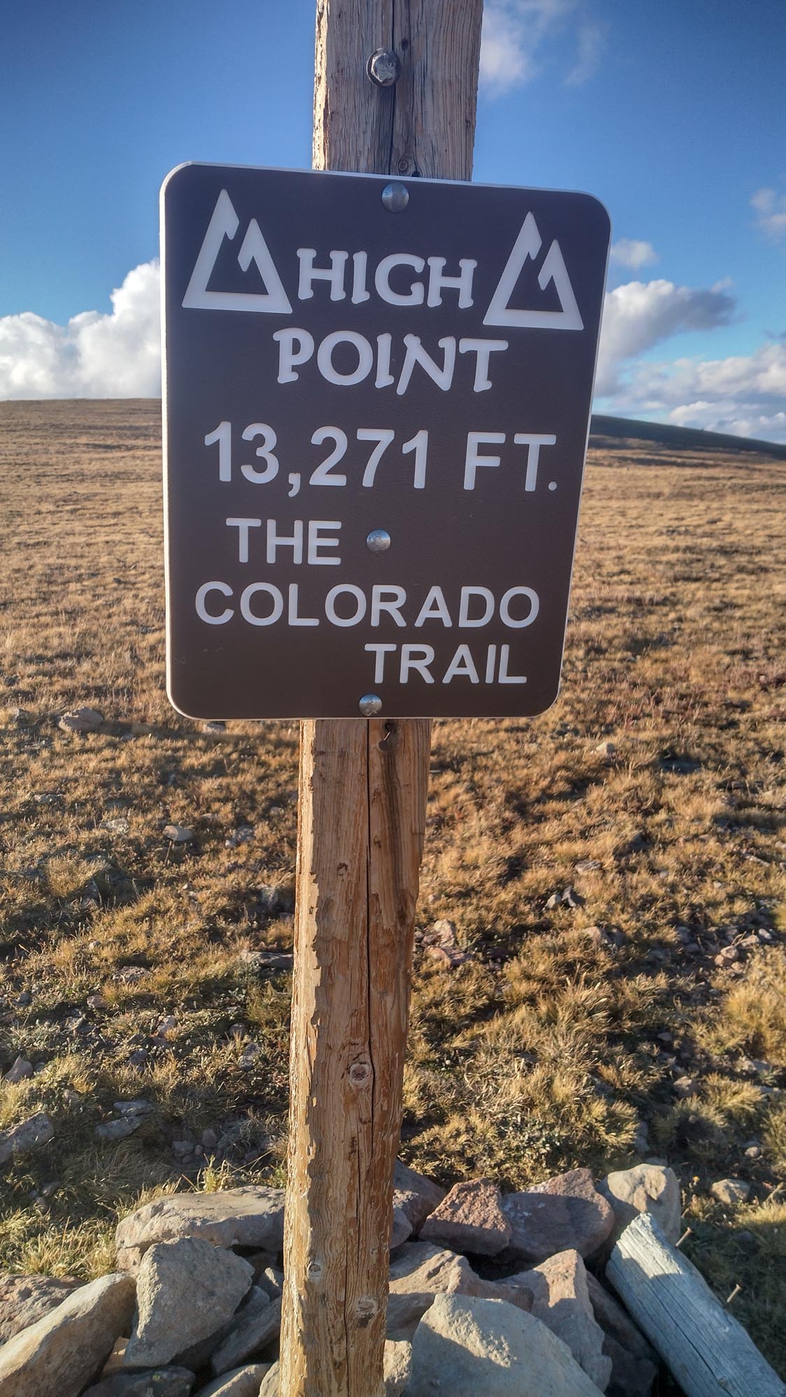
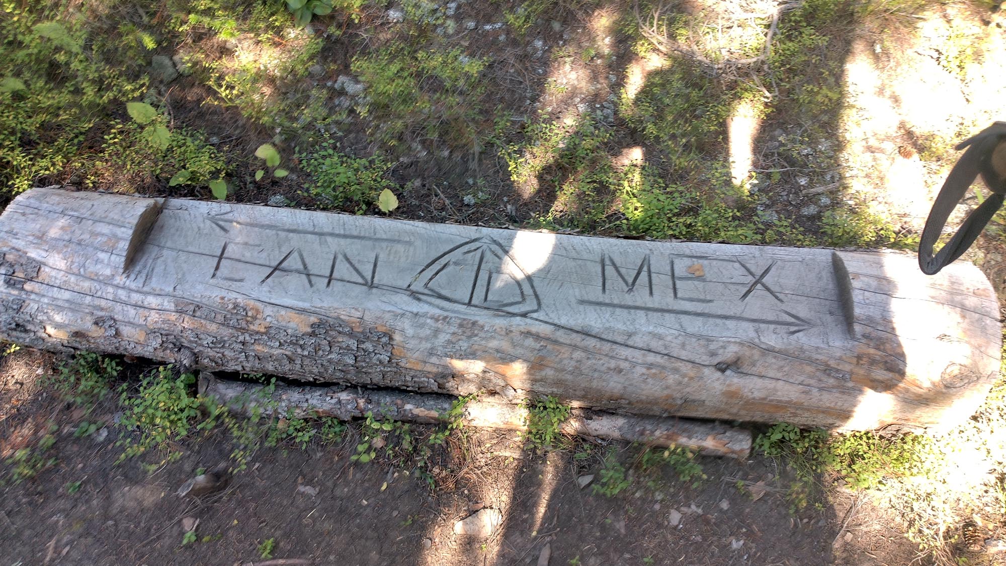
The following day I ran into “Sparkles” and “Circuit”, a great couple I had met on the Colorado Trail a month before. I pushed hard to finish out the week with a 43-mile day, ending near midnight. 240.8 miles for the week, just shy of 245, but after all the shenanigans of the week, I was happy with that numbers.

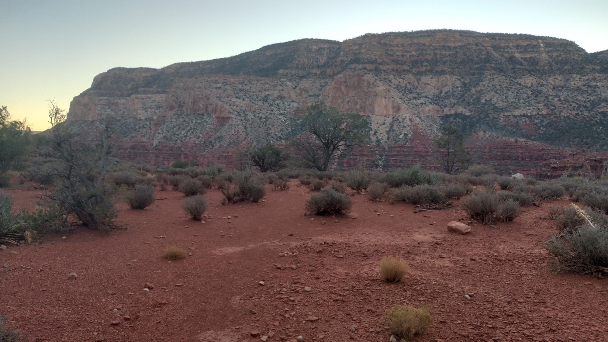
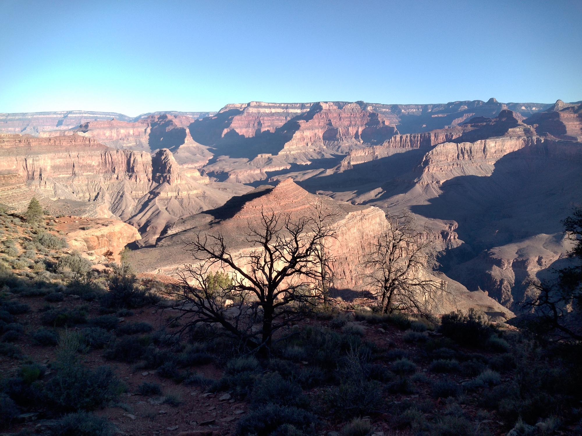
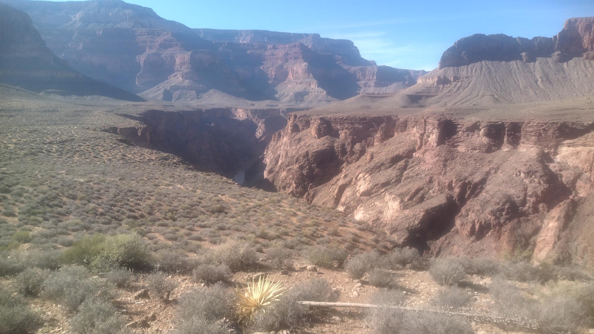
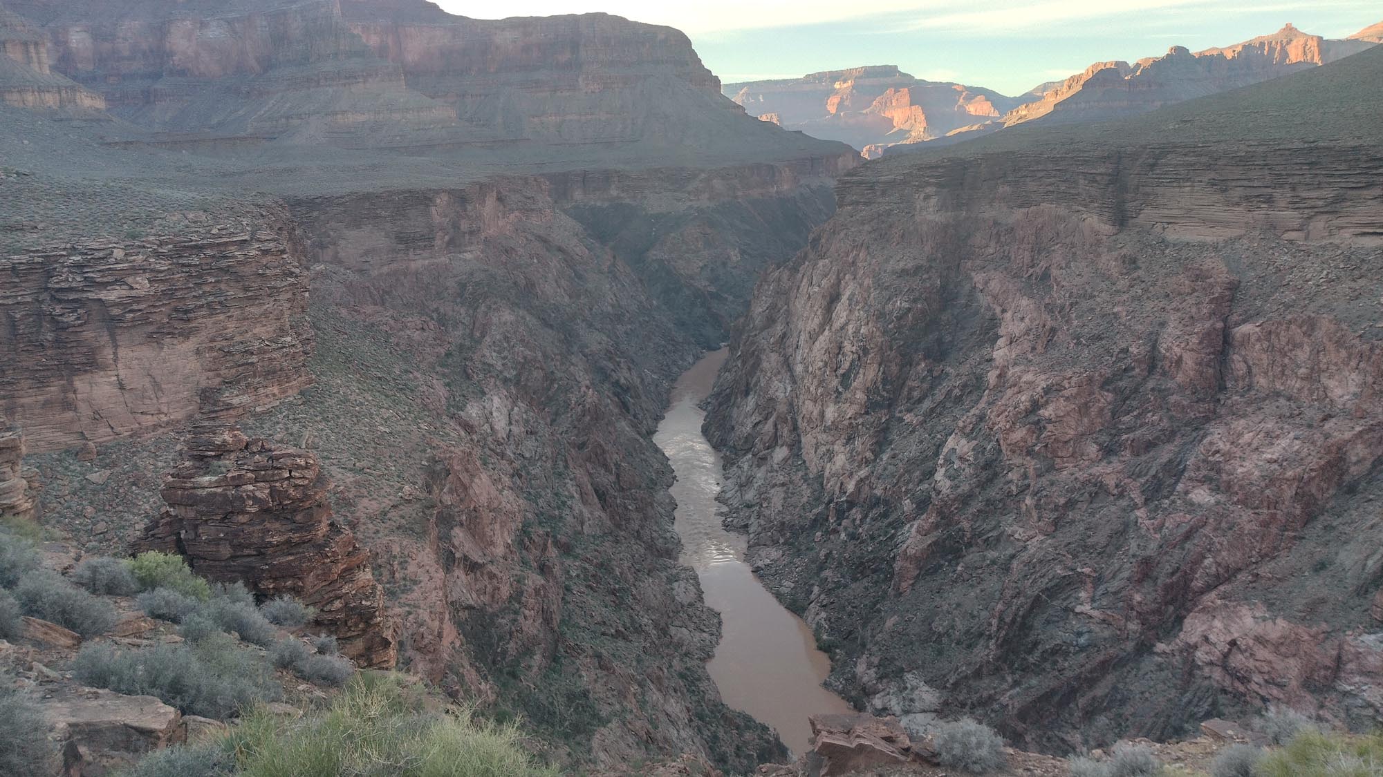
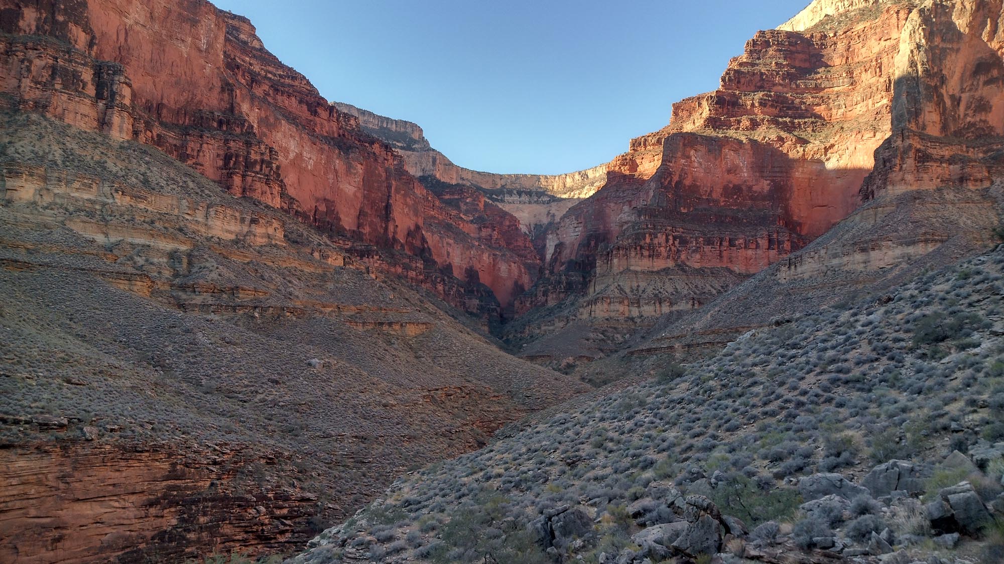
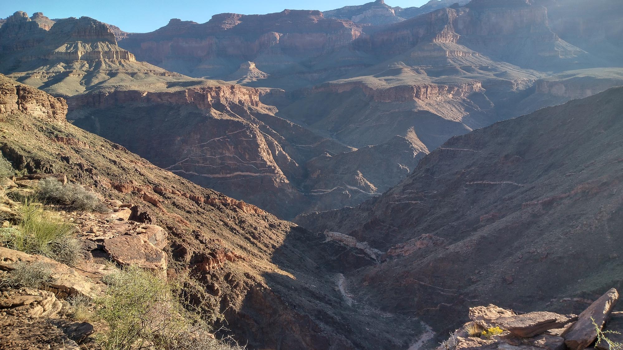
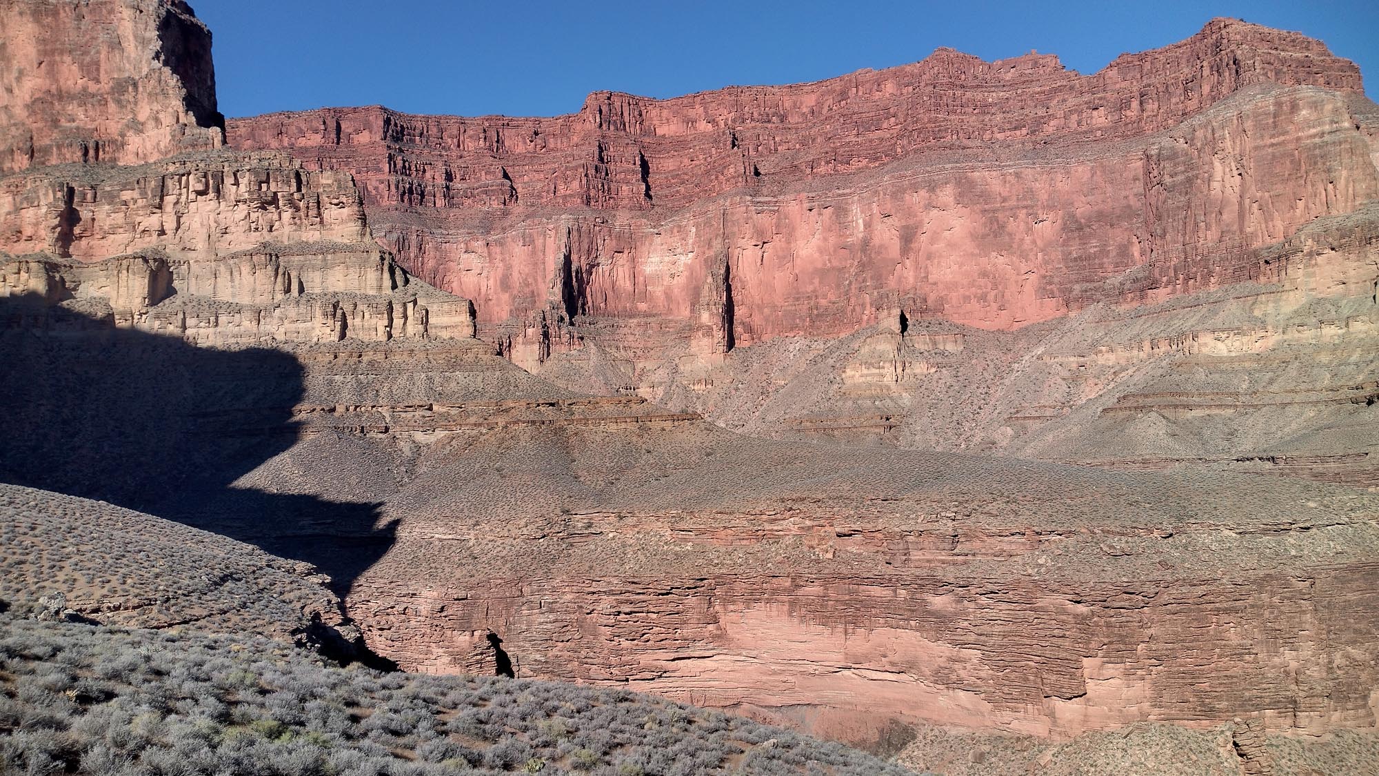
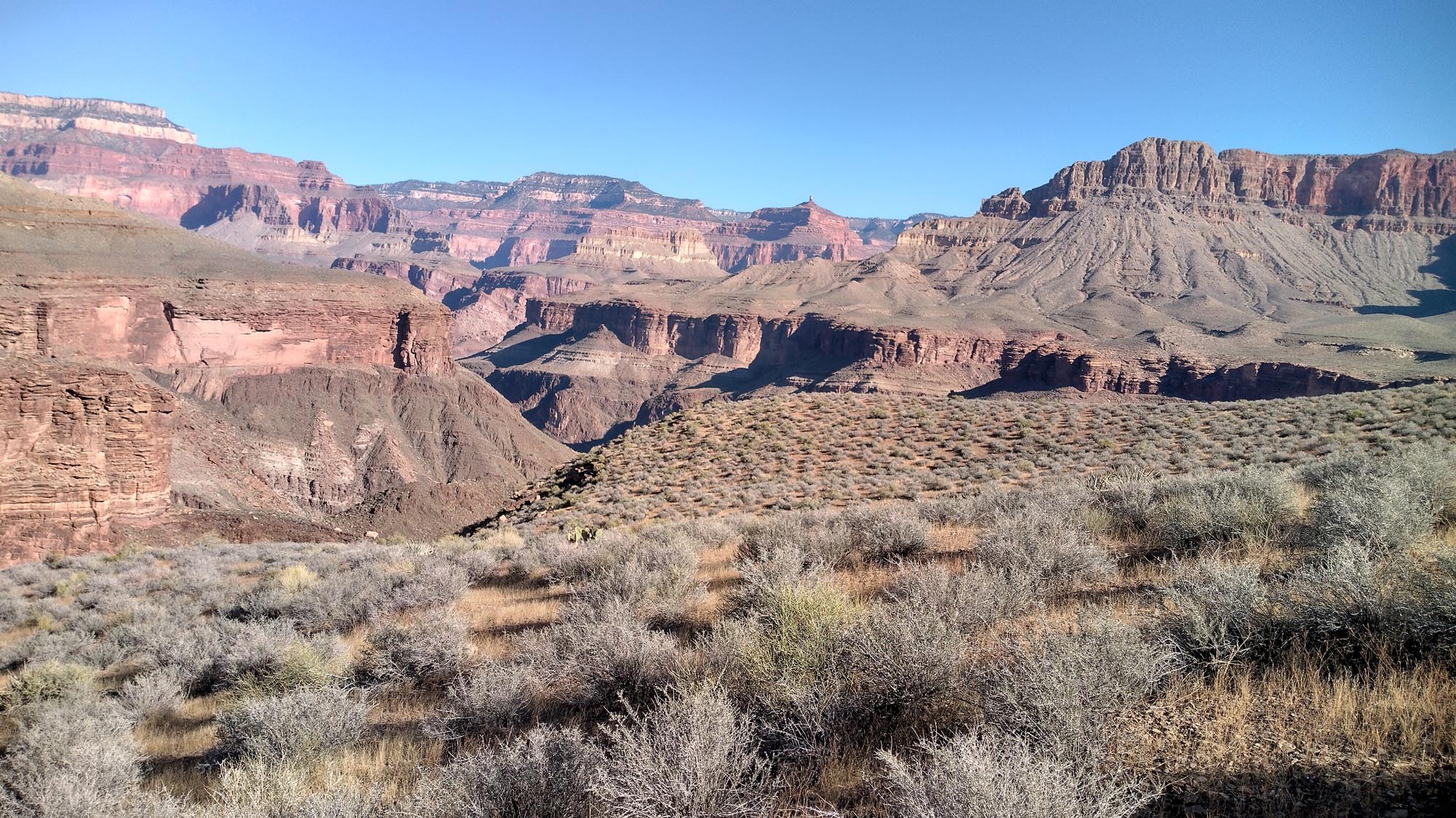
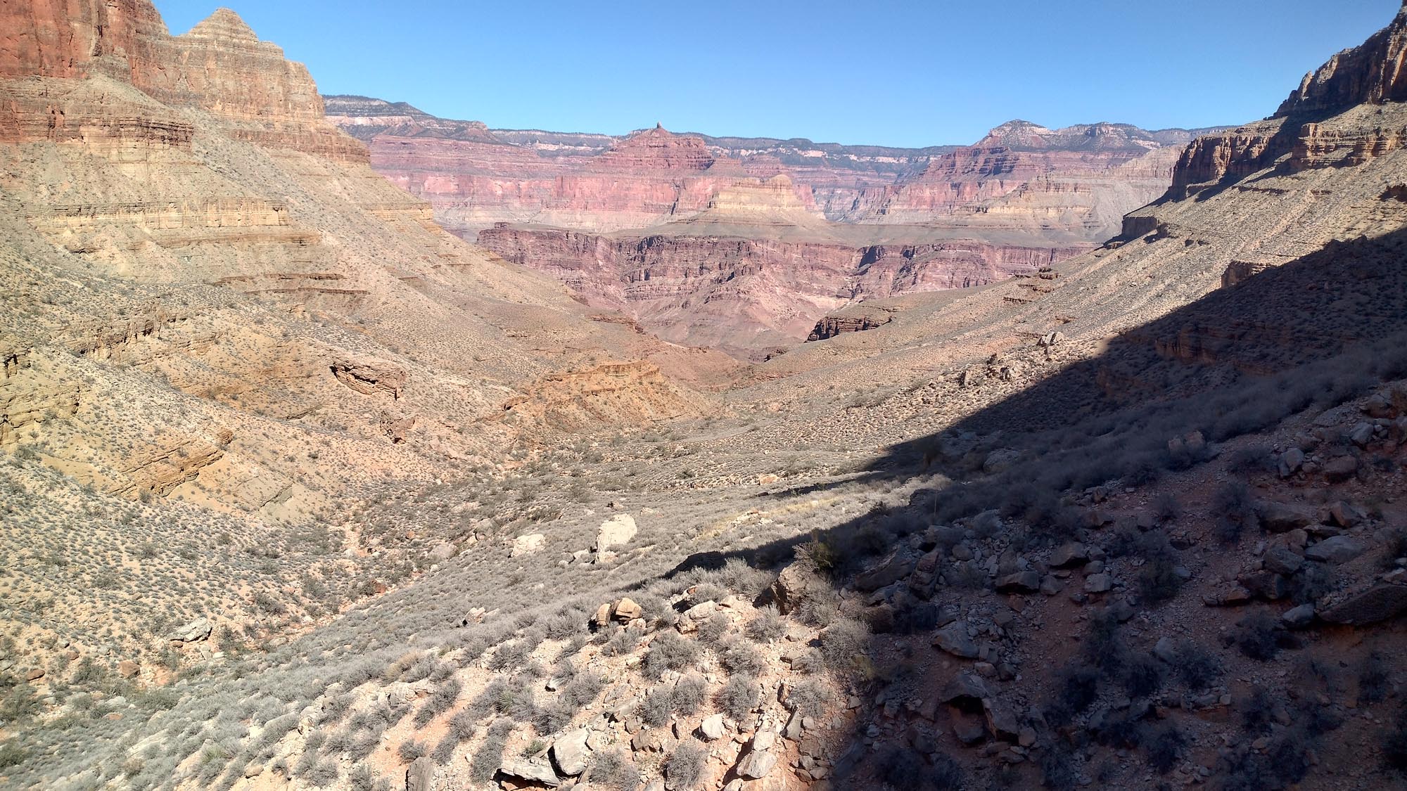
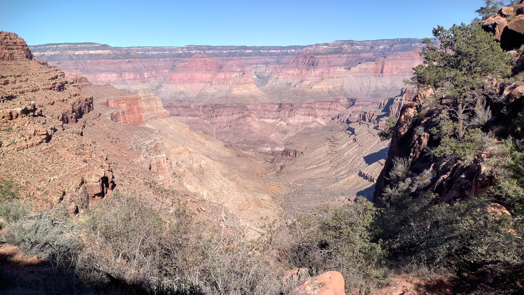
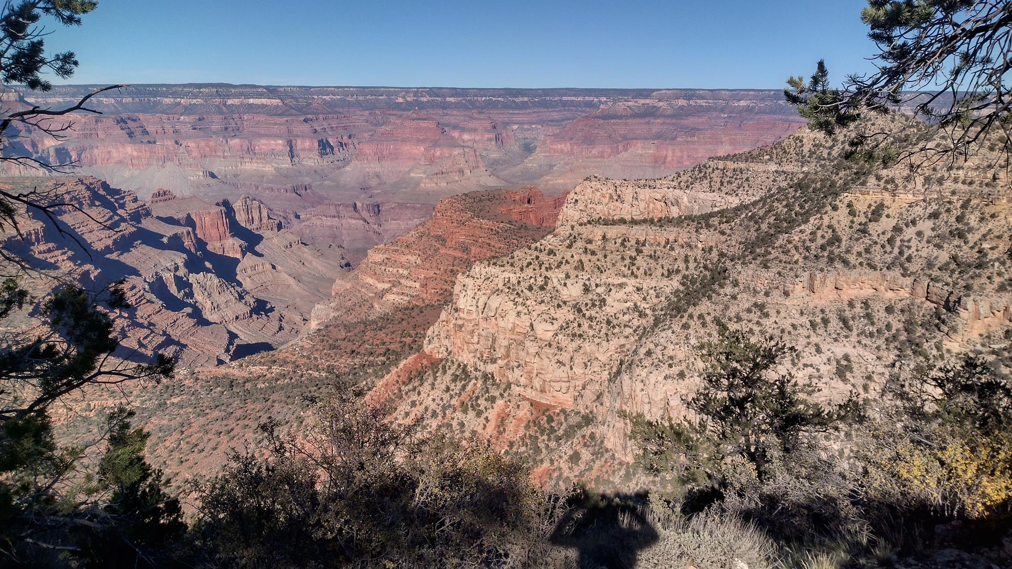
I needed a big week. I needed a string of good weather days. I needed to get to the Grand Canyon.


Week 25: Gila River Alternate, NM to Indian Spring Canyon, AZ

Total Mileage: 193.7


I woke up feeling like I was in a skiff slowly taking on water. Every corner of my tent had a puddle and my sleeping bag was soaked completely.

I left at 6 am excited to reach Doc Campbell’s Outpost, resupply, and start the next leg of this hike; The Grand Enchantment Trail. It was raining as I started, and I followed the wrong trail through high grass for a while until the rain stopped. I pulled my phone out and realized I was half a mile off trail. Normally not too bad, I had just gone on the wrong side of a huge ravine and I couldn’t descend it.

A couple barbed wire fence jumps and I was back on trail. This was the Gila River Alternate and I could continue on it but with all the rain lately, the river was high and moving pretty good. It wasn’t something I wanted to deal with. So I chose the Gila High Route instead.

There was a 3 mile forest road to follow to begin with and this was a good time to check the beta on Doc Campbell’s. I looked at the comments. Doc’s closed at 4 on weekdays and was completely closed on Wednesdays. It was 10 am on Tuesday and I was 36 miles away. There was no point in going there now so I needed to adjust my game plan.

I had somehow downloaded an alternate route of the Grand Enchantment Trail that started north of Doc’s and that at the time seemed like the right move to make. I would peel off the high route, go up and over Loco Mountain, cross the Gila River. From there get into the Clayton Mesa Trail, which would lead to Turkey Feather Pass, over a few 10,000 footers and arrive on the Holt Apache Trail.  I would then take this to the West Fork River Trail, South Fork River Trail, to the White water Trail and onto Highway 180 and into Alma, AZ. Seemed like it would work, right? I stopped for an hour plus and dried all my stuff and did an inventory of my food. I had enough to make it to Alma and I should be there in 3 days.

NO markings at all, thousands of blow-downs, the trail underneath was burned down to rock so I could make out the trail. So much over growth I had no I idea where the trail was. It was raining hard and it was starting to become the most frustrating and angry hiking situation I’d ever experienced. Over 17,000 trail miles and the Holt Apache Trail was demoralizing me. At a certain point it hailed and I thought it couldn’t get any worse. It was at that point something caught my foot and I fell face first into the mud. There was a barbed wire fence lying across the trail, the only human thing on the entire section.

I eventually made it down to the West Fork River. The trail was flat going along it and easier to follow. I was in a canyon now and when the walls came right to the river the trail would switch to the other side. I must have crossed this water 30 times. By 6 I could see my breath and it was starting to get cold. I was completely soaking wet and I knew sleeping in temps under 40 we’re in hypothermia world.

I noticed a cavern that over hung near the river and dry beach sand underneath. There were some sticks and leaves and I decided at 6:30, with under 18 miles in for the the day, to stop here and start a fire. I never make fires and I’ve never made one out of necessity, but tonight I did. I was able to pitch my tent close enough to dry it and get everything from completely soaking wet to damp wet. The best I could do.

I shivered all night in my bag, only moving when it became too uncomfortable in one position. Waking up early wasn’t going to happen. I just knew no matter what happened the next day, I needed to make it to Alma.

I had 10-ish miles to get to the highway. Tough to pack up so cold and wet, but I was on the trail by 8.

Crisscrossing the South Fork River another two dozen times, the canyon started to open up. I was following orange ribbons that indicated where to cross the river and eventually they stopped. I thought I was on trail as I started ascending higher until I was up on top of a mountain. I figured I could descend off the Western side and get back to where I thought the trail was. No luck. That side was a another huge canyon where the Whitewater River joins the South Fork, with 200 foot rock walls, and I couldn’t go back the way I came up. That, as well, was also too sketchy.

I had no choice but to go off the North side; butt sliding and down-climbing a 500 foot dried out ravine to the White water River, cross it and climb 50 feet up to the White Water Trail.

After that fun-filled hour, I made it to the Gold Rush Trail, switch backed up to the top and saw the fresh pavement of the highway in all its glory. After hopping a barbed wire fence I was there, and I was spent. I had 3 miles or so to Alma. However, that was heading west and after that the trail (route) continued to the west. If it was anything like what I had just been through I wasn’t looking forward to it.

If I headed south, I would go through a “town” called Glenwood. From there it was only 10 miles of road, south to the original G.E.T. route I was going to do. There was also a trading post and stone cottages for rent. I had only done 10 miles at this point, but all I wanted was a dry bed and shitty television. By 5 pm I was in a bed watching the Golden Girls (satellite only had 4 channels).

The owner told me the weather isn’t normally like this in October. This was August monsoon weather. He gave me the handicapped unit which, given my state, was probably the right move. No stairs!

I laid everything out on the ramp out front and just dumped my pack upside down. I Hung my bag, which had clumps of feathers on each corner of it, and laid out my tent and everything else. I Ate 2 Hot Pockets, 2 burritos, a Big AZ chicken sandwich and took a hot MF shower. Watched some more Golden Girls and passed out.

I had a 100 mile road walk ahead of me, which would go into Arizona. I couldn’t believe I was walking into the state I started in less than 5 months ago. The following day I arrived in Safford, AZ after doing a 45 mile day. I wanted to pull a 50 but I needed to resupply and charge my stuff. Also, I thought maybe I could use the rest before making my way to the Arizona Trail.

Yet again, I had no idea what I was in for…

Out of Safford, I had 12 miles of desert road walk. From there, I peeled into the Pinaleno Mountains. The route brought me up through Ash Creek, which was a 7 mile uphill canyon. It was hard. No real trail to follow, just the occasional rock Cairns, but other than that, nothing. It was slow.

Sometimes it was not possible to continue through the canyon, so I would have to hike out and around a section. At one point, it began to rain and hail and not wanting to pull out my phone so it wouldn’t get wet, I followed what I thought was the trail. It wasn’t. By the time the hail stopped and I looked at my location I was up on top of a rock ridge that continued to get more narrow and more sketchy. I was bouldering at this point and the rocks were slippery. I was hoping to get to the top of this and cut over to the route. I realized that this was not good. To fall now would be the end. On either side. I had to carefully butt slide down, stretch my legs out to the next ledge, but not to jump down, too afraid I would accidentally knock myself down the mountain.

I eventually made it to a flat spot, removed rocks, and had just enough space to pitch my tent. 7 miles in 7 hours. It was dark and I was cold and wet. At this point I would be happy to be out of this section in 3 days at 20 miles a day. I wasn’t sure of the distance, it seemed somewhere in the neighborhood of 60 miles.

The next morning I found the route and made my way out of the canyon by 10am. A 4-mile road walk was a nice change.

On to Clark Peak Trail. Yes, actually a trail… with rain and hail. This lead to an open area of route creation. Sharp brambles, cactus, and high grass left me cut and scratched all over my hands and legs. It was too hot now to wear pants and the brambles poke through them anyway. The high grass made the hiking sketchy because underneath were sharp rocks and a lot of them. By 9:30 I was spent and had done 30 miles.

193.7 to end the week. The first week not over 200 miles. It was so hard. A dry river bed near Indian spring was where I cowboy camped.
 

Week 24: Chama, NM to Gila River Alternate, NM

Total Mileage: 264.4


Disclaimer – Just so you know, I usually write these posts on road walk sections. Forgive my grammatical errors, English majors. cars are whipping by at 65 mph and it’s a little distracting. To write these at the end of a day is too much and obviously on trails is too slow.

To get me out of the “Hiker wall” funk, a large road walk section was exactly what I needed. Making up a full day in one week wasn’t going to happen but I could chip away at it. Water would be my issue through this section. I chose the Mt. Taylor alternate route which has some water and better views than the CDT proper. Up and over Mt. Taylor 10,000 plus feet and making good time into Grants, NM.

A quick resupply of 4 days worth of food (The bag girl couldn’t believe I could get all my processed sugar and empty carbs into my pack 😆). A quick 4 tacos and a quesadilla at Taco Village and I was on my way. It all took 90 minutes and that makes me happy.

A lot of highway from there and instead of staying on it, (which is a straight shot to Pie Town, NM), I decided to follow the CDT which makes sort of a horseshoe shape out to the west into the El Melpais National Monument Wilderness. This would add roughly 40 miles to my overall distance. I DID NOT want to beat my UPS box to Pie Town and it was looking that way, so the decision was made to do the extended miles.

Initially a great change hiking through volcanic rock and lava fields. It soon became a grind, following rock Cairns and pushing through thorny, straw type prairie grass. It stuck constantly to my socks and drove me crazy. After stopping a half dozen times to pull the prickles out I had to just deal with it.

I made it to Pie Town at 3:15pm on Saturday. Grabbed my box, took a shower and talked with bike packing foreigners while I waited for my stuff to charge. I was the only Hiker and only American. I left at 7 and banged out 8.5 more miles before calling it.

The following day I chose the Gila River Alternate for it’s water and the fact that I would be leaving the CDT soon with enough miles on it.

Basically 2,400 plus miles in 68 days. I finished the week next to a man-made cow pond in high grass and thorn covered socks. Happy with the distance I covered over the week and excited to make it to Doc Campbell’s Outpost and into the next leg, the Grand Enchantment Trail.

I had no idea what I was in for…


Week 23, Southern San Juan Mountains, CO to Chama, NM

Total Mileage: 206.5 


It took me 5,400 miles but I finally hit the ” Hiker wall.” I think carrying the 35 mpd through Colorado and the San Juans did it. Also, what comes from over 5000 miles of hiking. The cortisone shots I had injected into each knee have worn off so I’m feeling both torn menisci. I’ve lost both pinky toe nails, stubbed another toe last week, so I’ll lose that nail soon enough. An in-grown toenail in my left big toe too deep to dig out. Arthritis in my other toe, which reminds me every day like clockwork when I hit 30 miles. Burning in my left hip, pain in my right shoulder and 25 pounds lost. I’m so thin I’d make a Victoria Secret model jealous. My legs, darker than a pocket, my ass, whiter than a ghost. I’ve eaten enough Ramen noodles to go to the moon and back 14 times and enough peanut butter to cover the Great Wall of China. It’s been a month since I’ve done proper laundry, instead rinsing and cleaning my clothes in the few showers I’ve been able to take. I’ve only slept 17 nights in a bed since the start. When I arrived in Chama, NM after only 20.7 miles for the day I was knackered. Grabbed a room above a dive bar, picked up my resupply box and died.

I woke up at some point and received a text from “Styx” who had only a few days to finish her CDT and get the triple crown! She was heading north from Grants, NM to Chama (a section she had to skip earlier due to fire closures) and seeing her would be the morale boost I needed. A storm was coming in that would be unavoidable, I just hoped when I ran into her it wouldn’t be downpouring. After the local greasy spoon forgot my pancake, I got a late start back to the trail, and by 9 pm heavy rain started. My tent leaked a bit through the night, and it was cold, so not too much sleep. Maybe 4 hours instead of my normal 5.  It took me a while to get going. By 10 am there was heavy rain, wind, and cold. It was too much to push through. My hands were frozen, I was completely drenched, and the wind was blowing the rain right into my face. I peeled off the trail and decided to wait it out. After an hour or so I got back to the trail and it came down even harder. I went back in the woods for the next 5 hours. It was at this time that Styx probably passed me. When you have only a couple of days to finish a long trail nothing will stop you, and nothing did. Styx completed the CDT and her Triple Crown on 9/23. Congratulations 🎉

The next day, pissed about 15.5 miles the previous day and missing Styx, I arrived at a couple’s camp site just before noon. Kevin and Bev, sweet people! While I dried my stuff in the sun, Bev made me an Elk burger and Kevin gave me chocolate. Leaving there I was back on track, knocking out mid to high 30’s for the remainder of the week, until reaching Cuba, NM. Getting a motel room, eating more convenient store junk food and getting out of town the next morning. Tarantula mating season is in full effect now. Cowboy camping will be on hold for now.


Week 22: North of San Juan Mountains, CO to Southern San Juan Mountains, CO

Total Mileage: 242.1


The goal for this week was to keep my 35 mile-per-day average through this tough section. The San Juans have been on my mind since last year and now I was finally about to do them.

The night before, I almost got water while eating a fig bar, until I caught a whiff of dead, rotting cow carcass. I entered into the La Garita wilderness and had 35.6 miles to reach the pass and hitch into Lake City for resupply. Some good meadow hiking until the uphill pulls started getting tough. Hail, rain, and high winds made it difficult, but I made it to the pass by 7pm. Was unable to get a ride in that night so I camped in a parking lot across the street.

The next morning it was cold and I was still damp from the day before. Once in town, I resupplied, charged my stuff at the church annex ( separate building for hikers and AA meetings), met and talked with “Golden Girls”, a cool couple doing the CT. I was back at the pass by 2 pm and into the big mountains.

Cold and wind for the next couple days, but the weather held and the views were spectacular and the hiking hard. There isn’t a lot of flat hiking in this section. You’re either going up or going down and by the 3rd night, pulling a 37 mile day with 9,500 feet of elevation gain, I was wiped out.

I pitched my tent where I thought it was safe from the wind but I was so wrong! At 1 am, my trekking pole (which I use to pitch my tent) snapped in half from the high winds. With the tent collapsed on top of me, I thought about just sleeping through it, but the wind made the tent so loud, I felt like I was being shaken in a paper bag. I packed up and hiked off the mountain at 2 am.

With hardly any sleep, I made my way to Wolf Creek Pass and got a ride into Pagosa Springs for a new pole. John and Dawn, two amazing people, drove me in and back up to the trail (23 miles one way). They had just hiked the CT and have also Triple Crowned. AT ’04, PCT ’05, CDT ’07. All With map and compass and before the trails became popular by the woman who ate her mother’s ashes.

Back on trail, I made it another 15 miles before calling it a day. 70 miles of hiking and 3 hours of sleep was a bit rough.

Almost in New Mexico and only 1500 miles to go!


Week 21: Tank 7 Creek, CO to North of San Juan Mountains, CO

Total Mileage: 248.4


What can brown do for you? For me, not much.

I made it to the Viking lodge at 6:30 pm Monday night, expecting a UPS package with shoes, shorts, and a headlamp. It was supposed to be there on Saturday. I waited until 1 pm the next day then rushed to one outfitter and bought shoes and another for the right headlamp. Saw “Mogley” who I had hiked with a couple days before. Got a ride up to the pass by a carpenter named Jeremy, and started out at 2pm.

I hiked late and slept in a parking lot near I-70. The next morning, walked the 3 miles up the dirt road to Grays Peak trailhead. First 14er! Took 90 minutes to reach the summit. Quick breakfast and down the saddle and up and over Mt Edwards Peak. Stalked by mountain goats I knocked out the Argentine-Spine with less that half a liter of H20 in the middle of the day.

Resupplied in Breckenridge the next day. Briefly hung out with some A.T. ’15 buddies (Guru and No One) and took off. Collegiate West around Twin lakes and up and over Hope Pass.

Met and hiked with “Pinkman” and arrived at Monarch Pass on Monday. Quick resupply and into Gunnison Wilderness.

Ready for the San Juans!


Week 20: Sage Creek Road, WY to Berthoud Pass (Winter Park), CO

Total Mileage: 244.5


I made it to Colorado halfway through day 134. 6 States down, 3 to go.

Started to see a lot of hunters in this section. Elk season was a day or two away. Entering into Colorado, the trail was mostly ATV trails through the woods. Kinda lame but I could keep a solid pace. Eventually I reached the Zirkles Wildernes. Now the Colorado hiking would begin.

Long, never ending uphills, exposed ridgelines and water carries of 5-10 miles. My buddy from the A.T., “Flask” picked me up and I stayed with him in Steamboat. Surprised to see another A.T. buddy who drove up from Boulder, “No One” who I haven’t seen in 7 years! These guys were part of my trail family and I will never have another one.

I took my time getting back to the trail, which is hard for me and the miles and pace I feel I need to do, but sometimes you have to slow down and enjoy the company. Ate an overpriced but delicious breakfast and “No One” got me back to Rabbit Ears Trailhead by 10:45.

20-something miles of road walk later and back on trail. I was close to the spot where I broke my foot, so getting to that and beyond was going to be an incredible milestone for me. I knew the spot, how could I forget. I arrived there and sat for 10 minutes, thinking about everything I had to overcome to get back to this less than a year later. 3 jobs, endless planning and redoing 4800 miles. I had to dig deep to get back and now that I have, it was all worth it.

I briefly stopped into Grand lake the next day and headed out around 10:30 just wanting to get to Winter Park where my hike ended last year. I kept thinking about how I felt in this section, my foot becoming increasingly sore and trying to figure out what it was. I saw a log I sat on last year where I had taken my shoe off, rubbed my foot and popped 6 ibuprofen. This year it was a tough stretch with a healthy foot over James Peak and Mt Flora. Big uphills with a ton of elevation gain and sharp rocks covering them. I kept thinking, “you did this with a broken foot” and remembered the excruciating pain I was in.

Arriving at Berthoud Pass, I’m healthy this time and everything from here to to the end is all new to me. It’s been the hardest thing I’ve ever had to overcome, but if you want something bad enough, you can’t ever give up!