Week 11: Pete’s Lake, WA to Hopkins Lake, WA

Week 11 Mileage: 203.3

“Not Without a Fight”

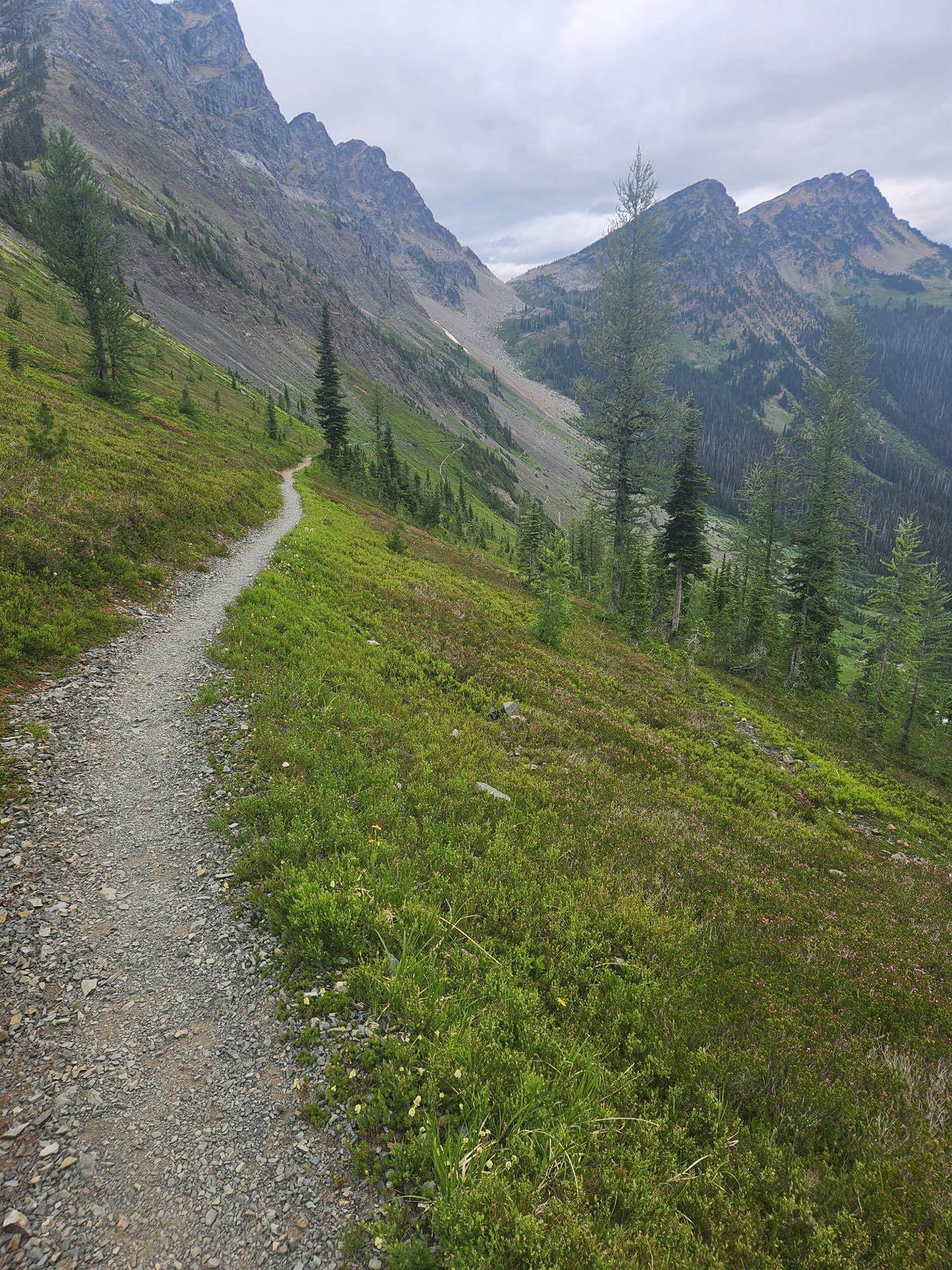
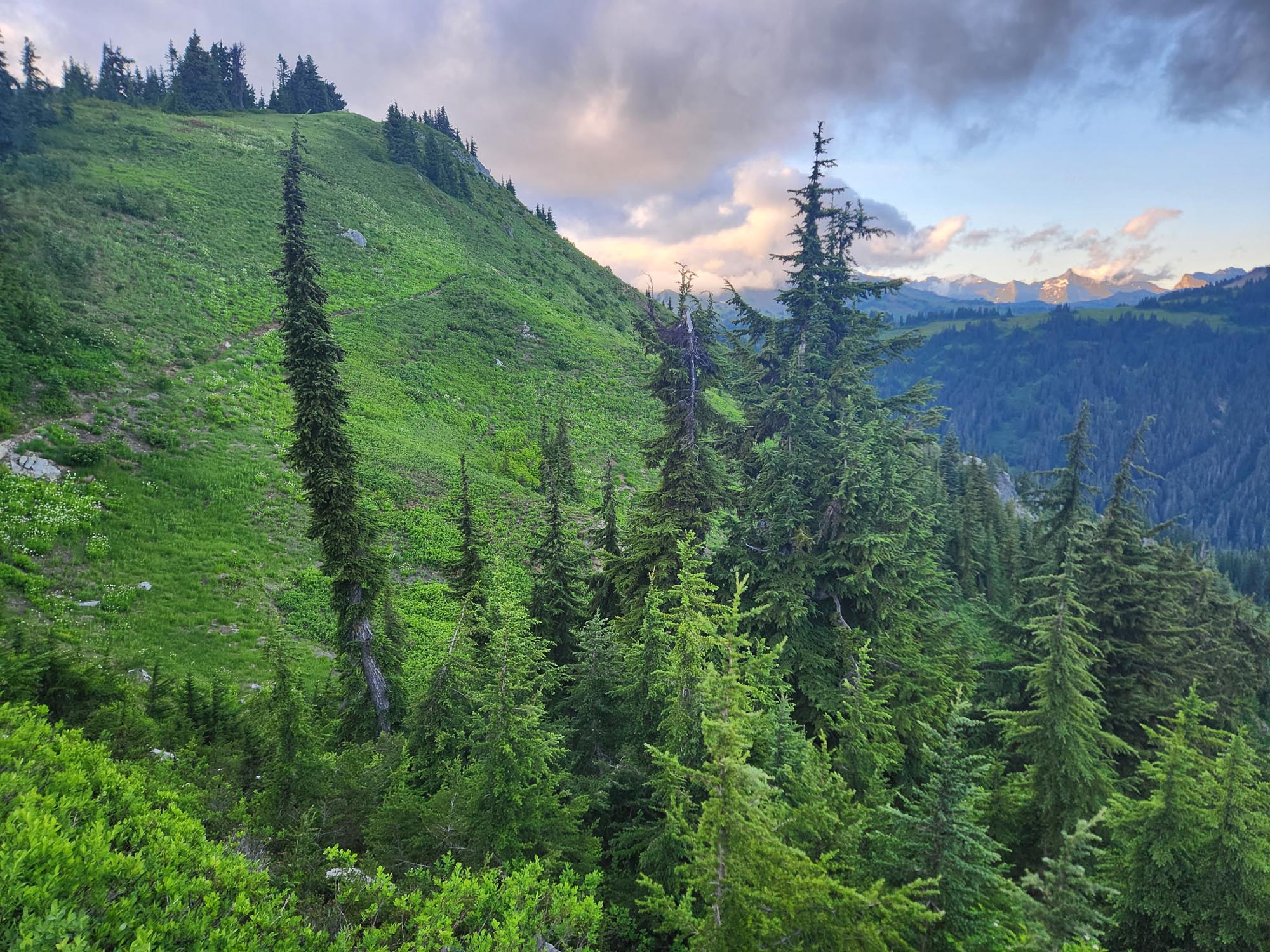
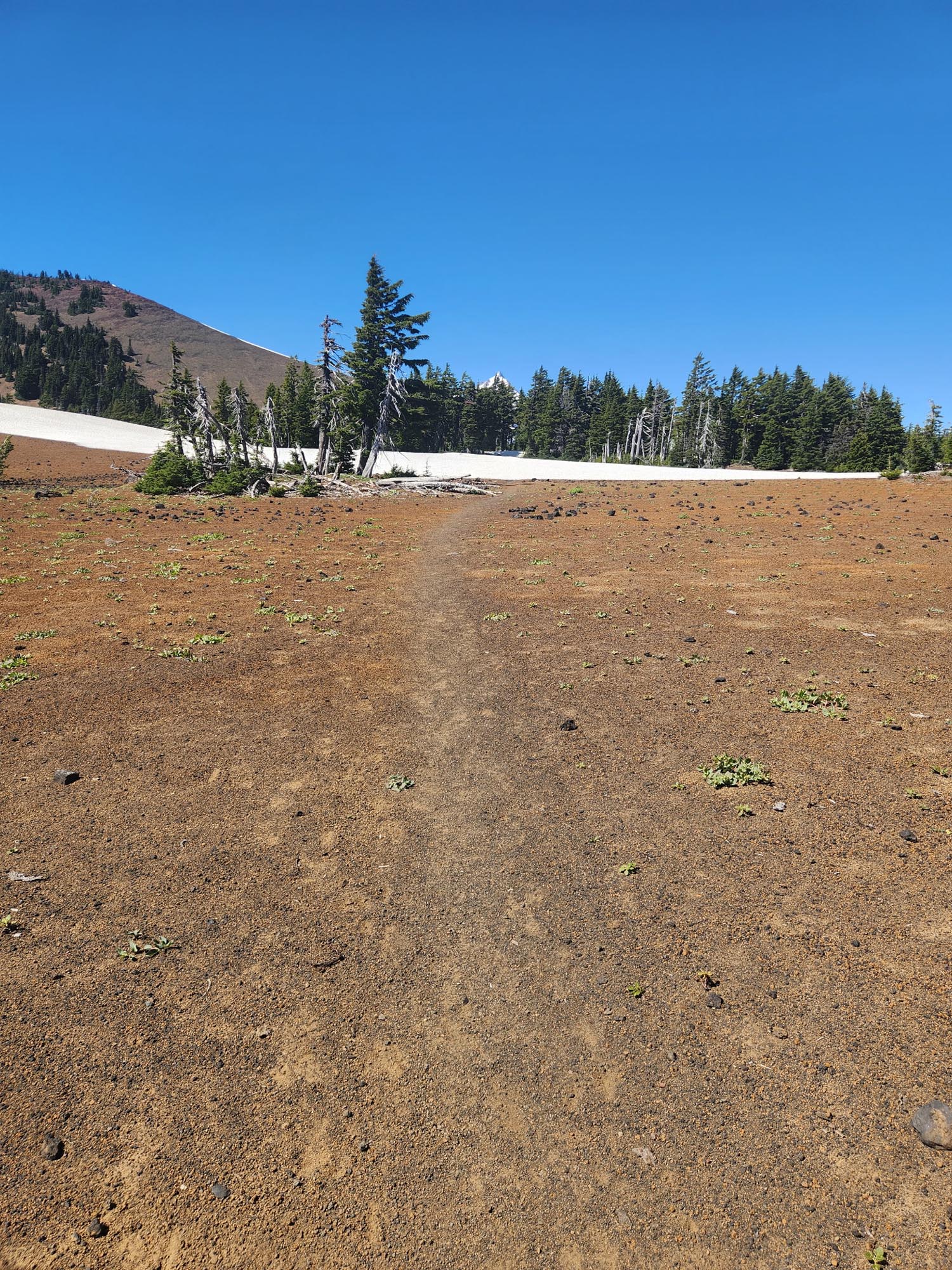
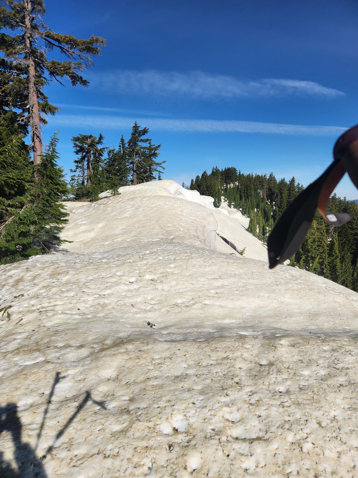
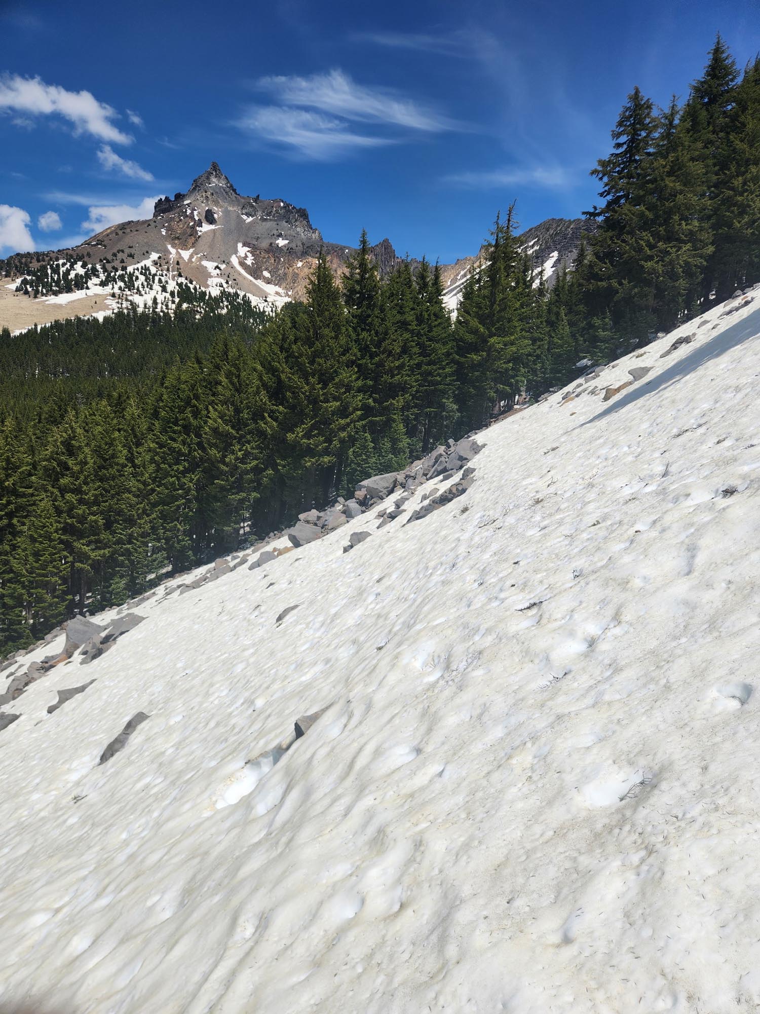
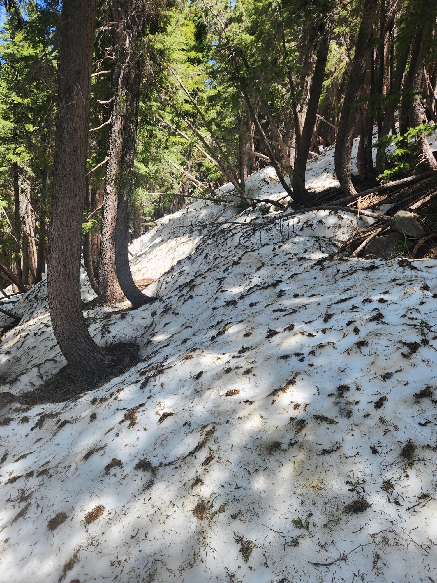
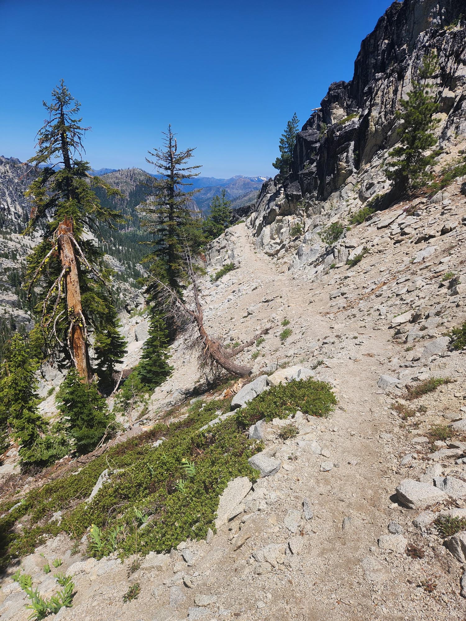
The rest of the day I wasn’t feeling great. Not sure if it was the heat or not—34.5 miles with almost 9,000 feet of ascent was no easy feat. Still without much of an appetite, I arrived at Stevens Pass at noon and thought maybe some real food would kickstart it. So I grabbed a steak and cheese and charged my stuff for a couple of hours. My plan was to do another 20 miles out from there, which would put me just under 90 miles from Stehekin, where I had a box waiting for me.

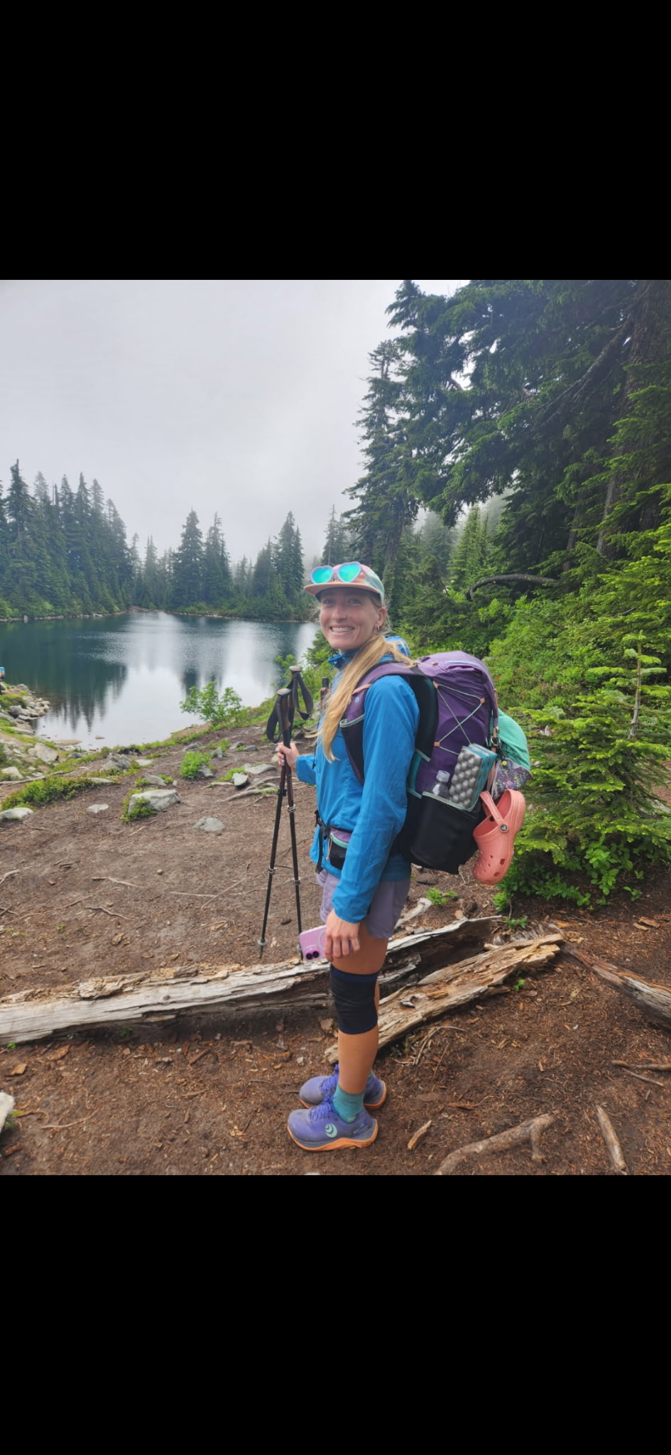
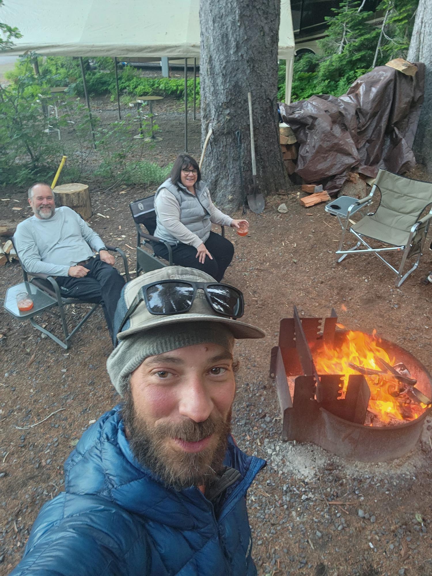
Also, my buddy and sponsor Geoff—with Mary Poppins UL sleeping pads—was just up the trail doing a section. I was looking forward to seeing him.

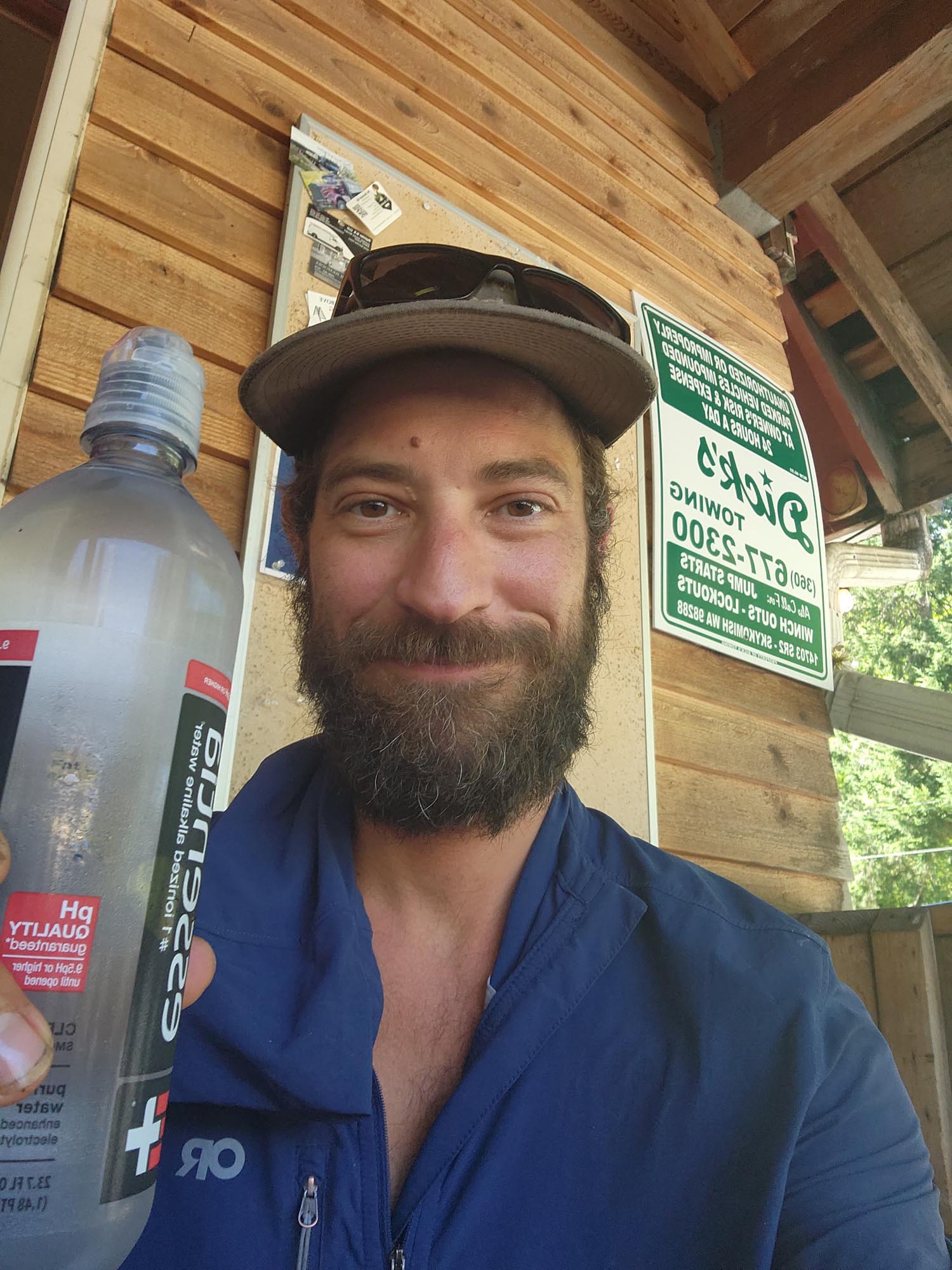
Leaving Stevens, I became really sick—twice—and realized pushing on 108 miles to Stehekin wasn’t in my best interest. It’s hard making those decisions knowing I’m racing the clock, but I couldn’t push that hard feeling like that. I pitched into Skykomish and got a hotel room, basically laid in bed for 36 hours, stayed two nights, and got back on trail Monday morning. I wouldn’t beat last year’s time, but a day and a half difference isn’t the end of the world. The rest was probably needed, and I felt great after flushing my system for two days: 32.5, 42.5, 43.4.

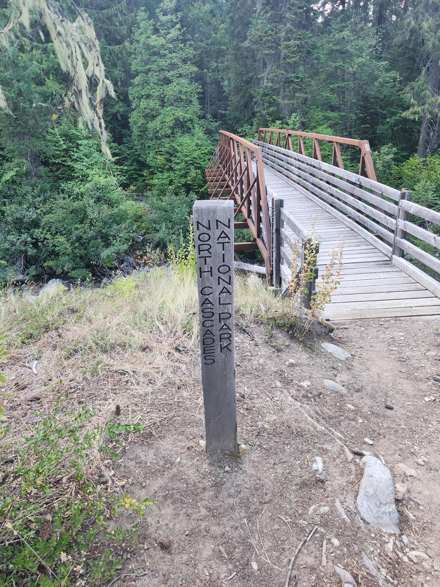
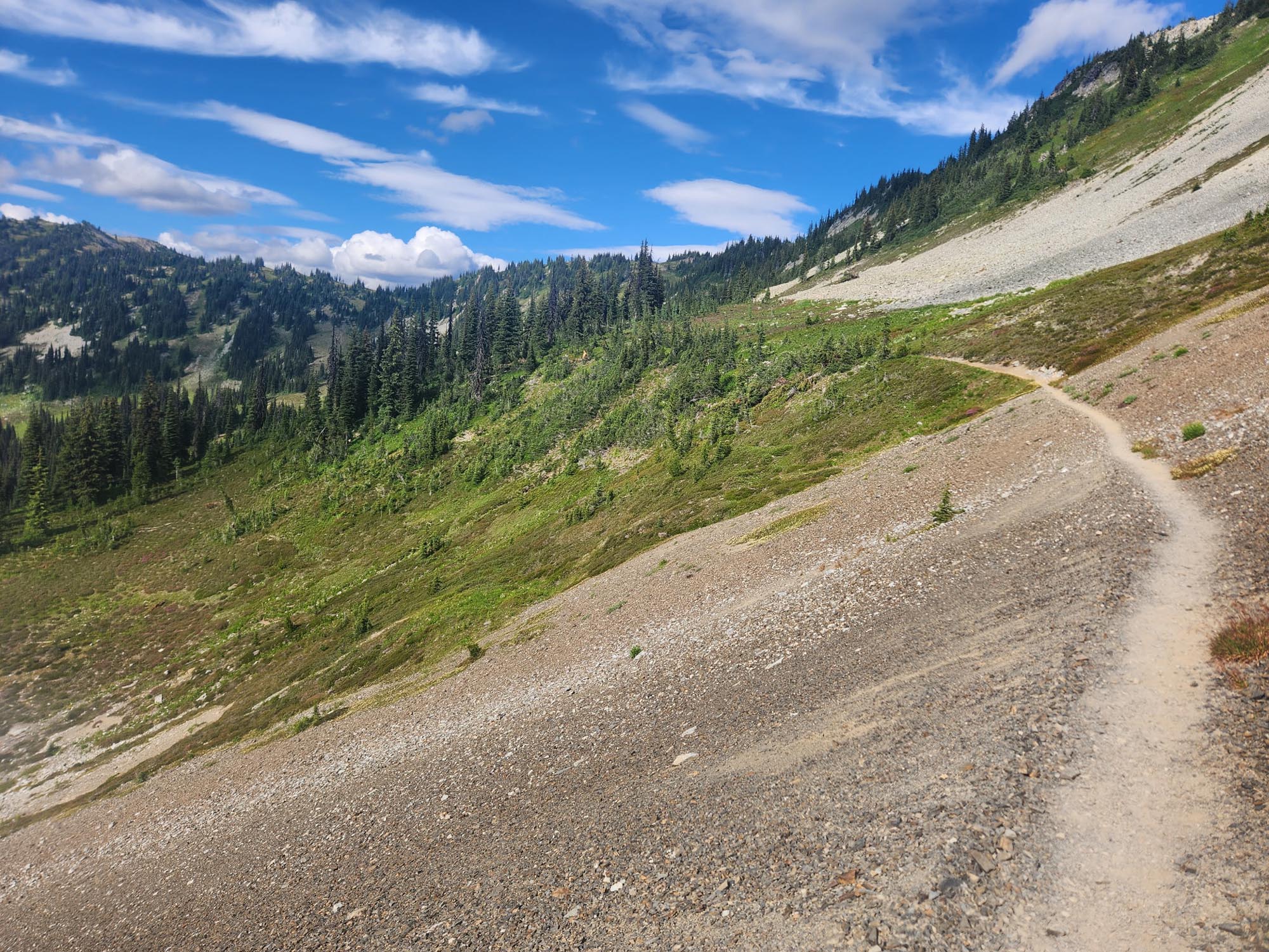
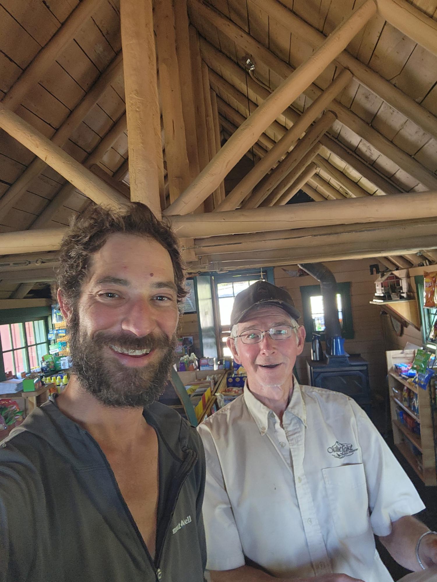
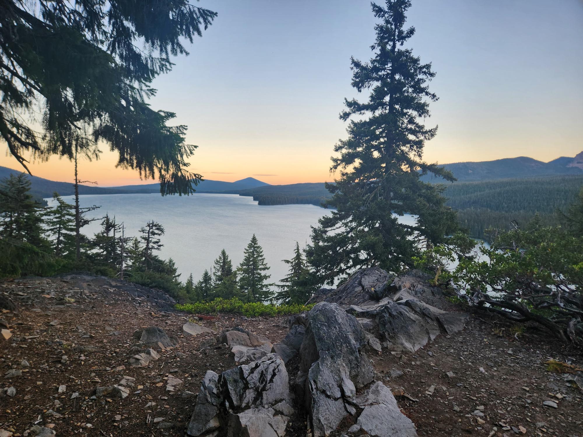
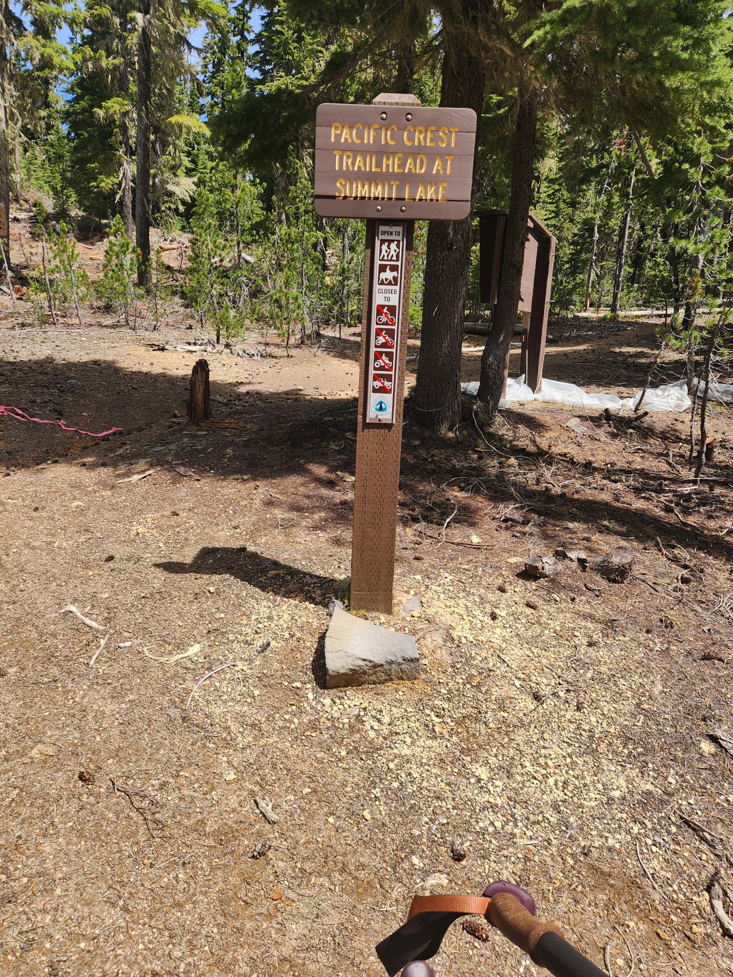
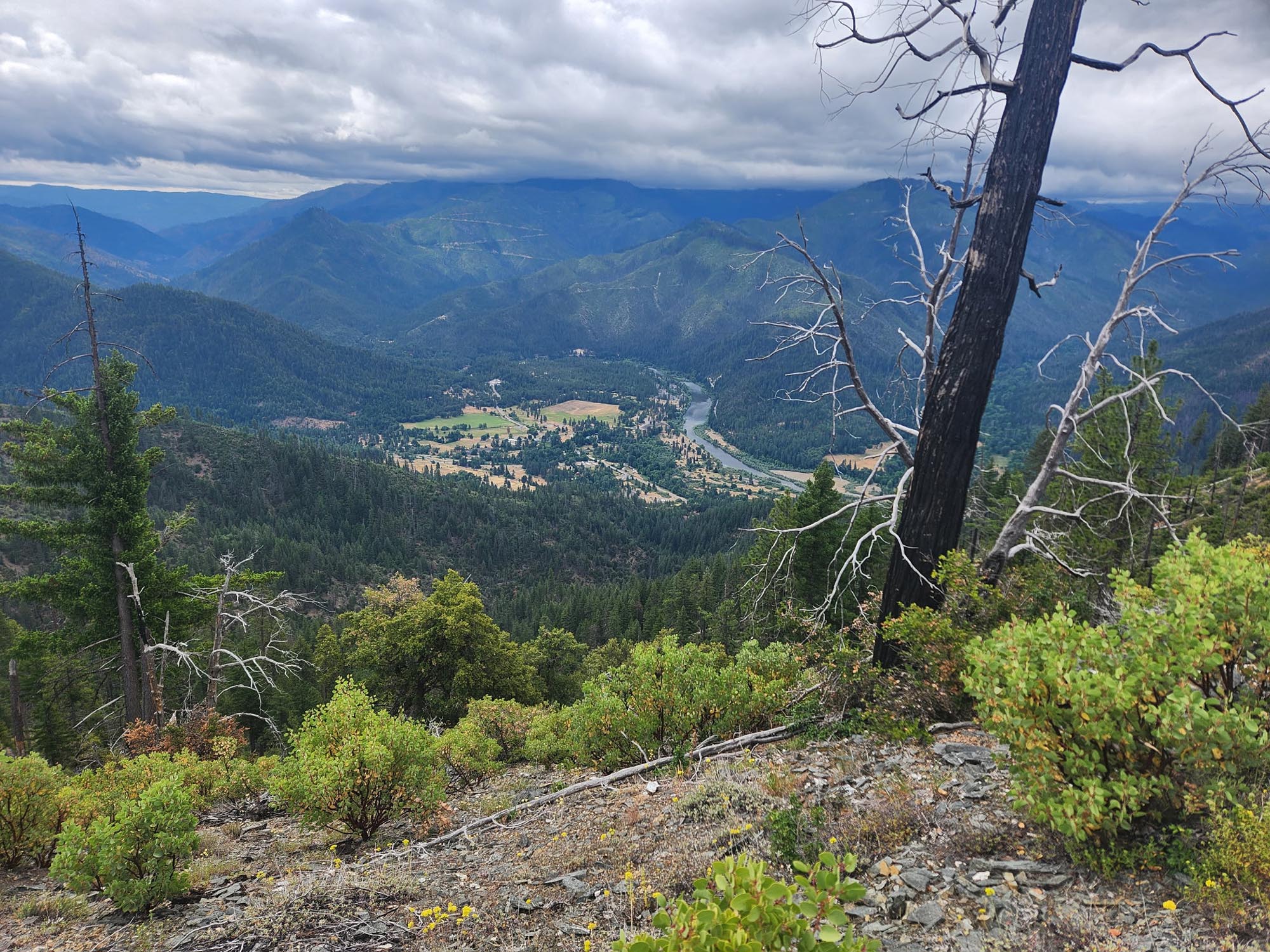
I skipped going into Stehekin—I had enough food to make it to the next town. I hadn’t eaten much of my stuff anyway, and dealing with the bus schedule into Stehekin would’ve cost me at least half a day. So I pushed hard and made it to Rainy Pass on Thursday. Got enough resupply to finish the trail and was back at the Pass by 2:30. Met a guy who knew me—trail name “Meat Hammer”—and I was able to do another 20 miles out.

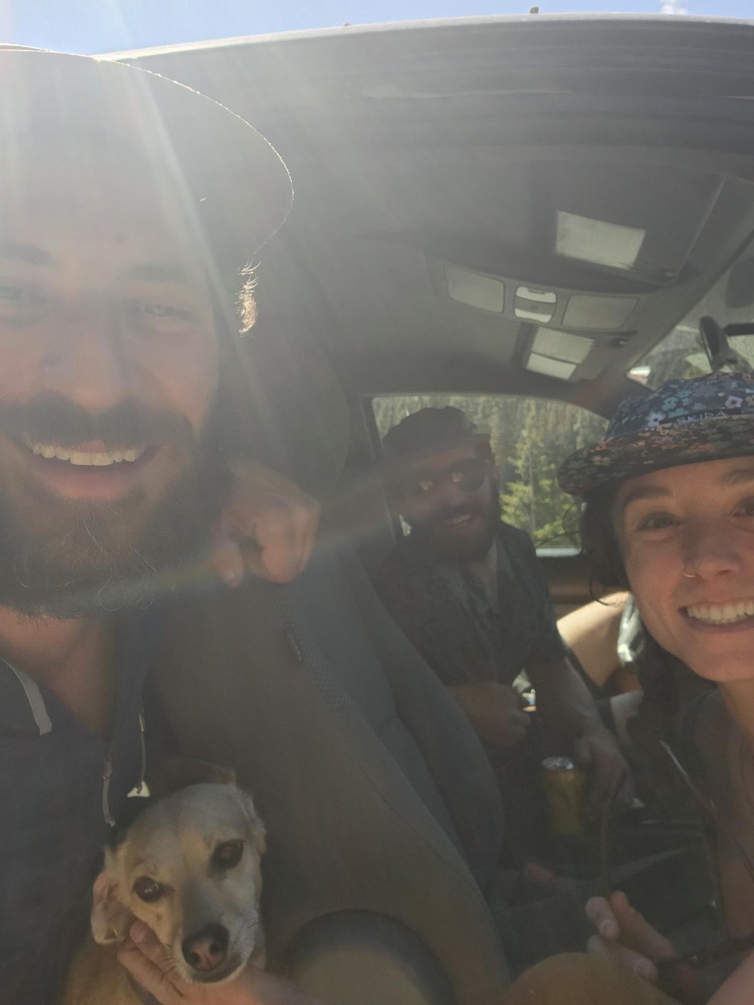
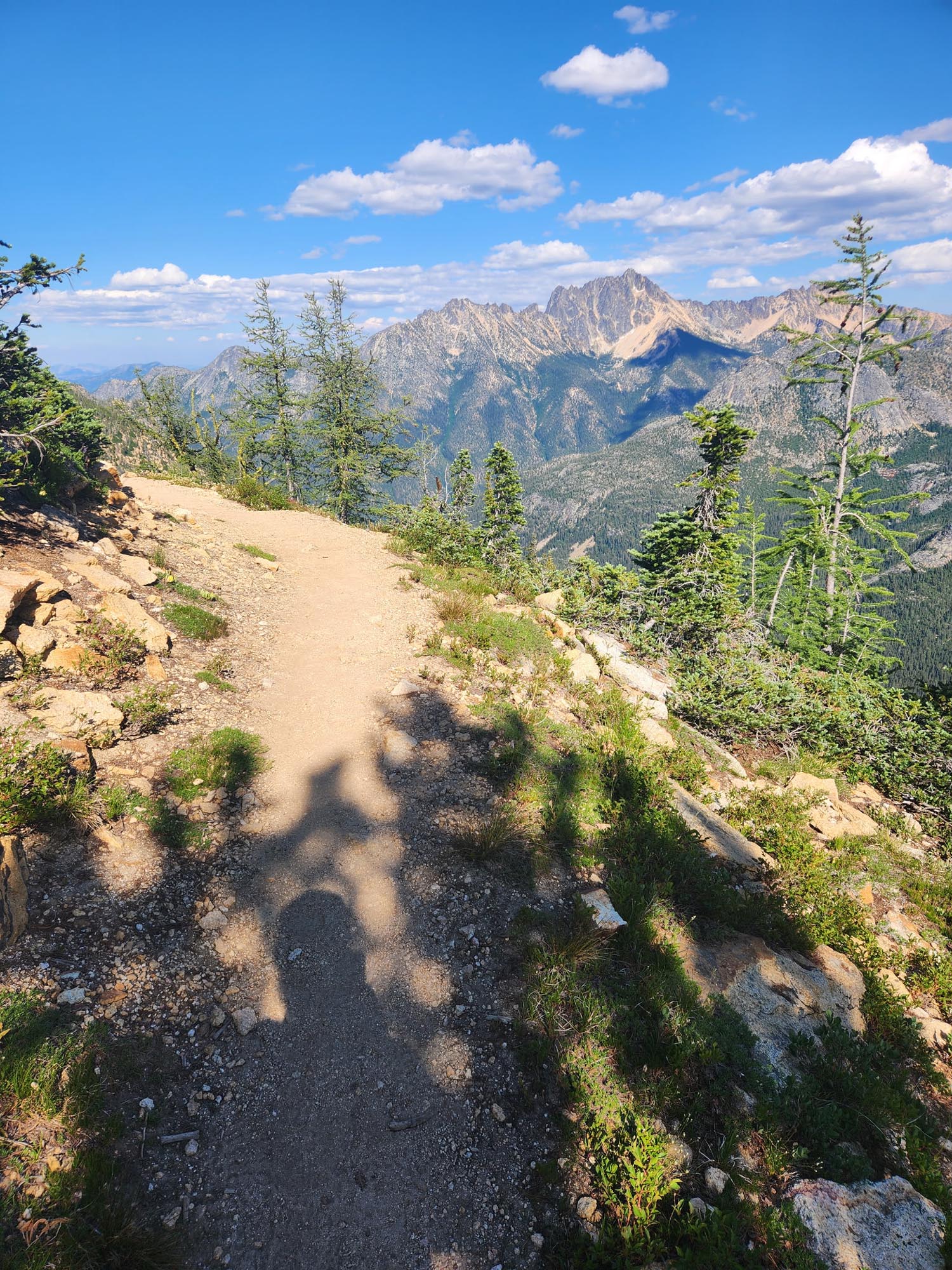
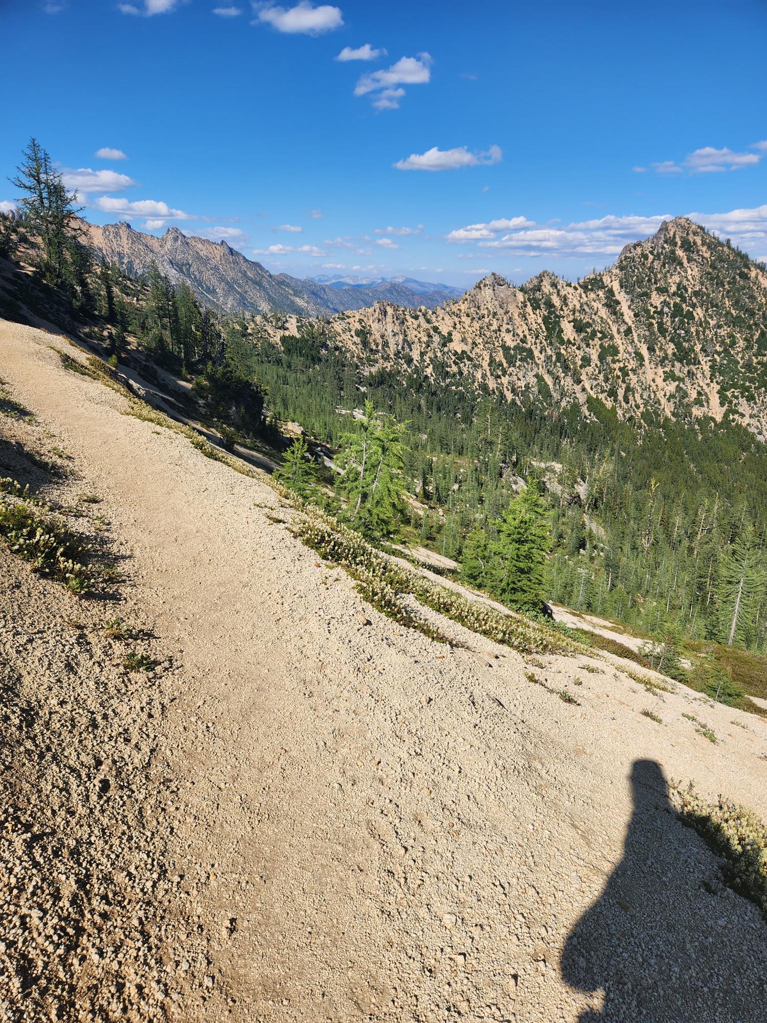
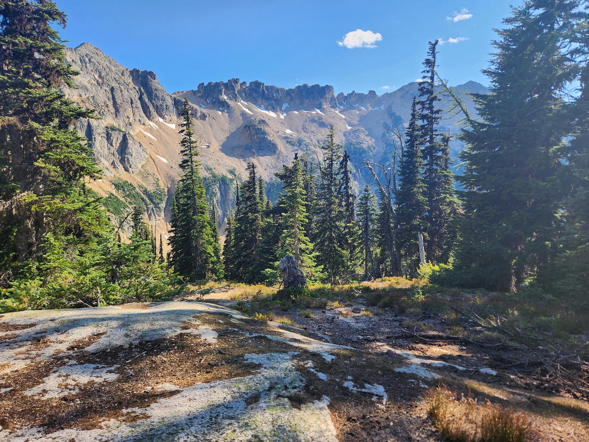
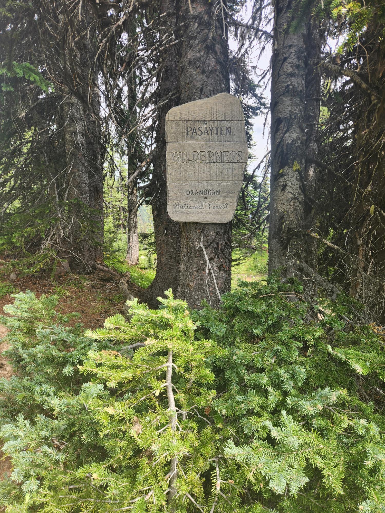
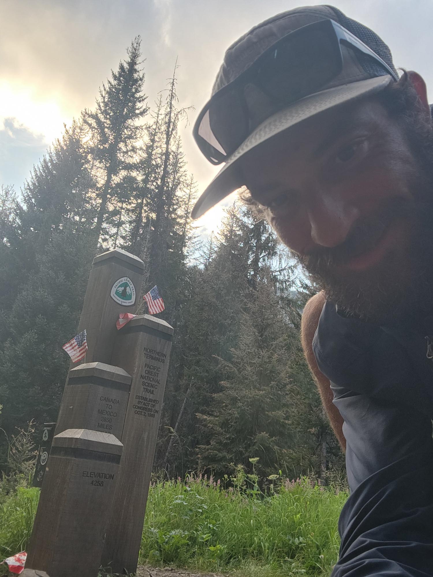
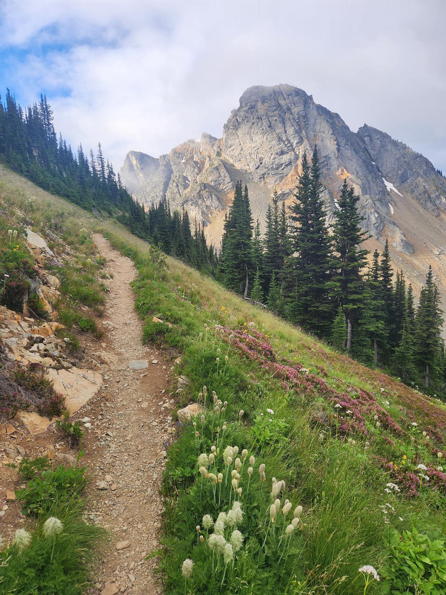
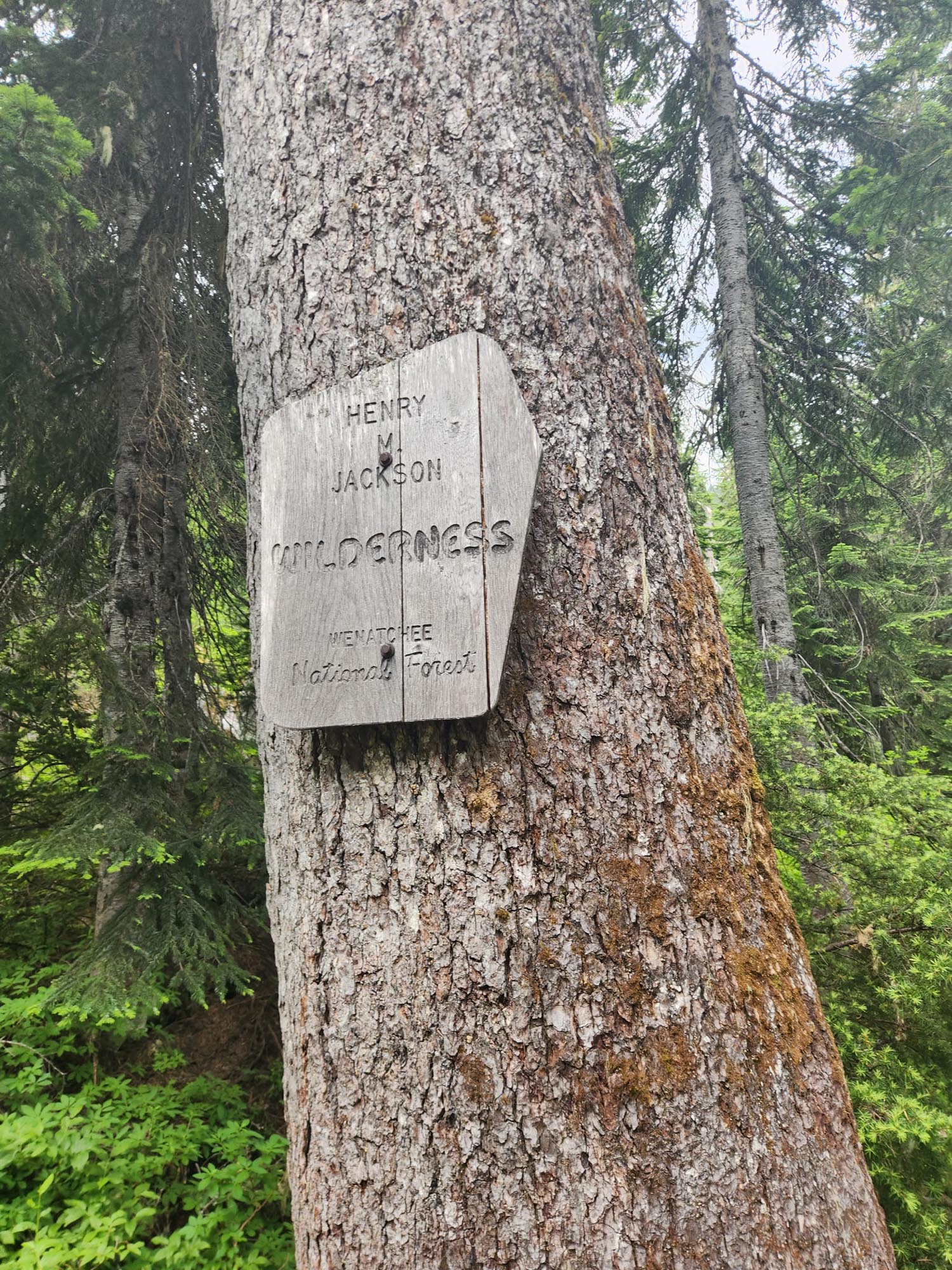
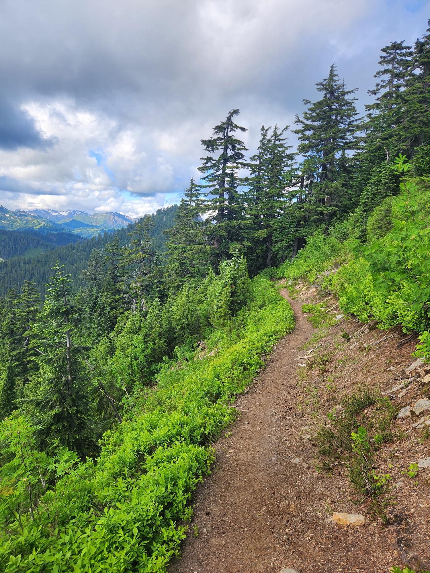
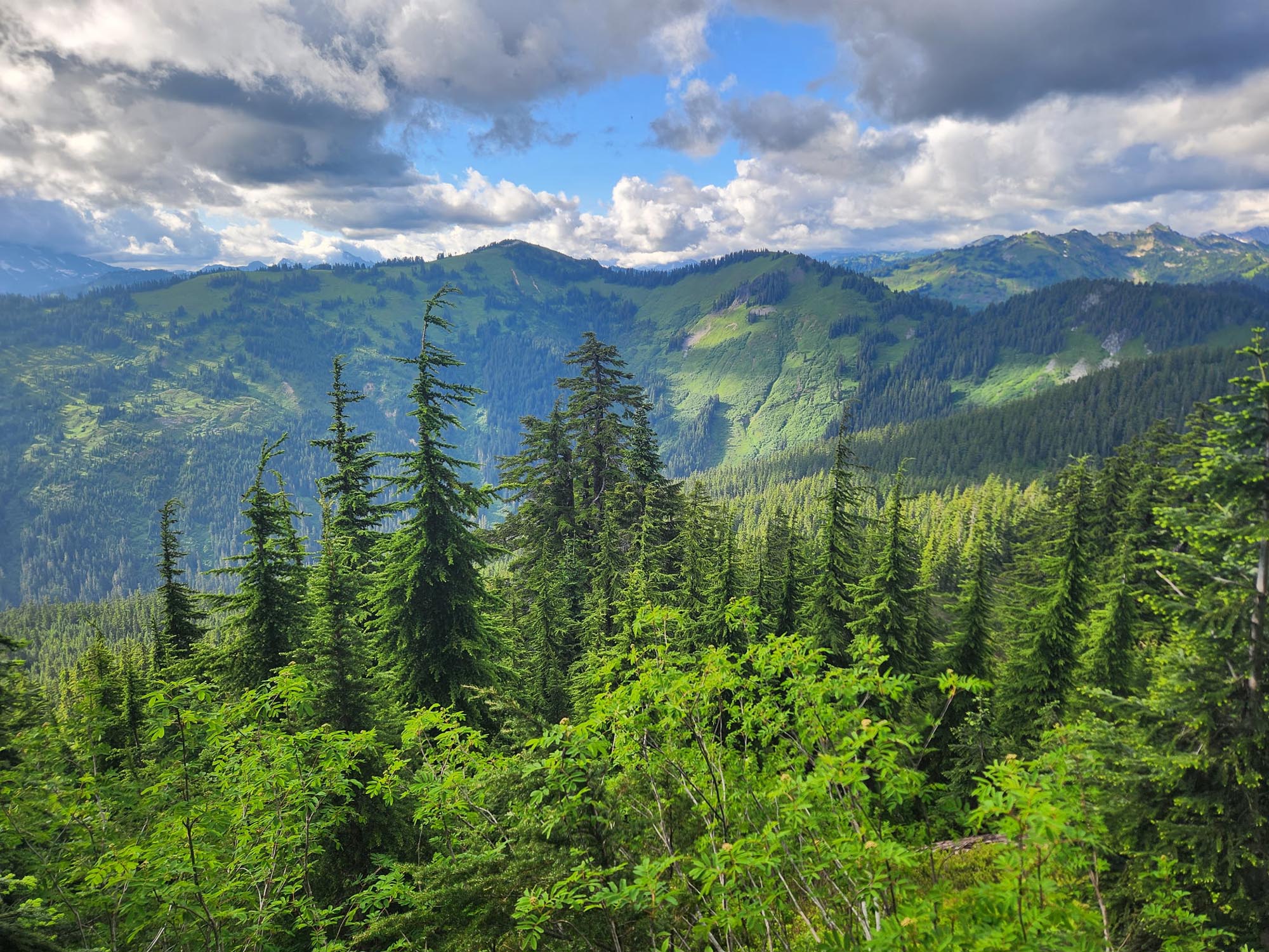
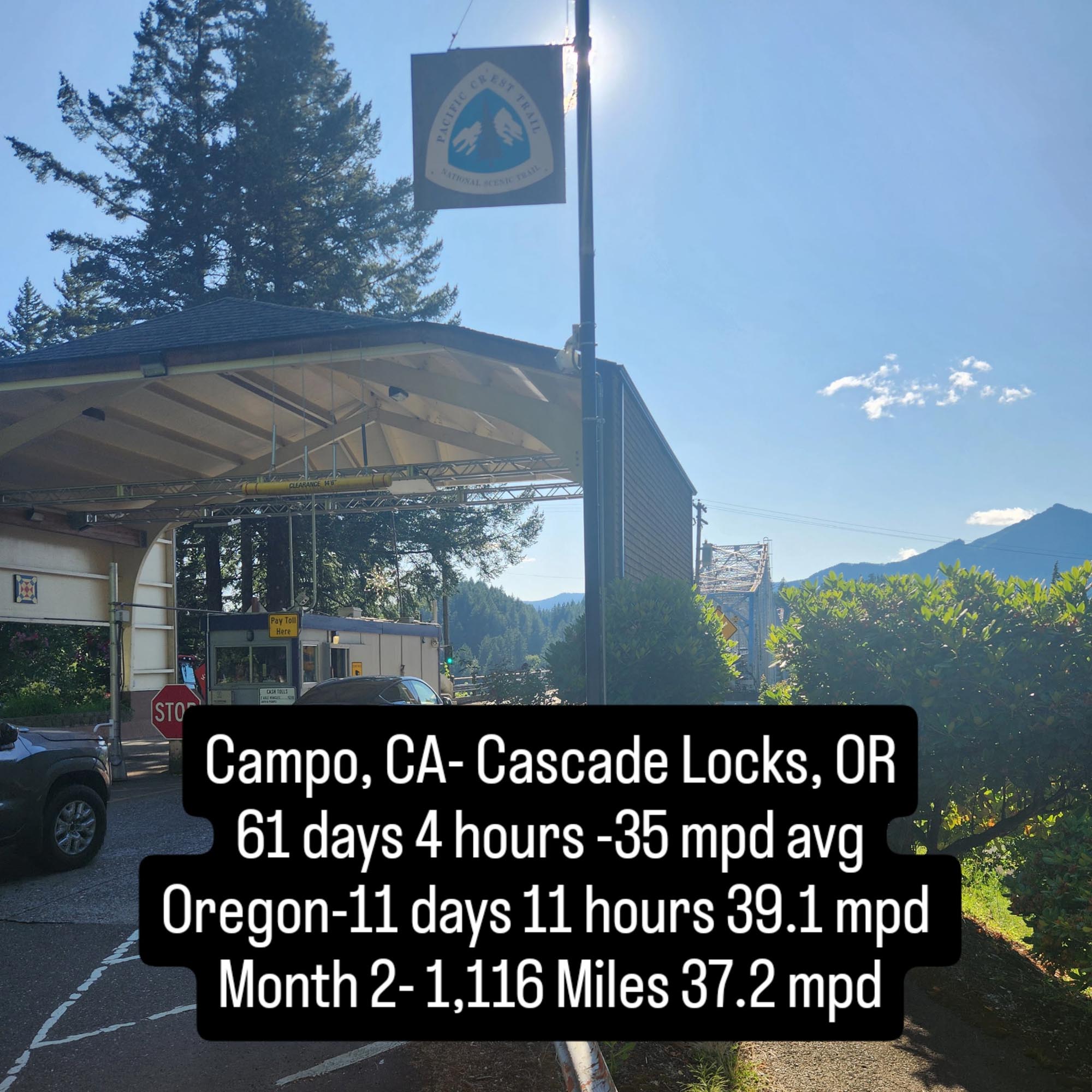
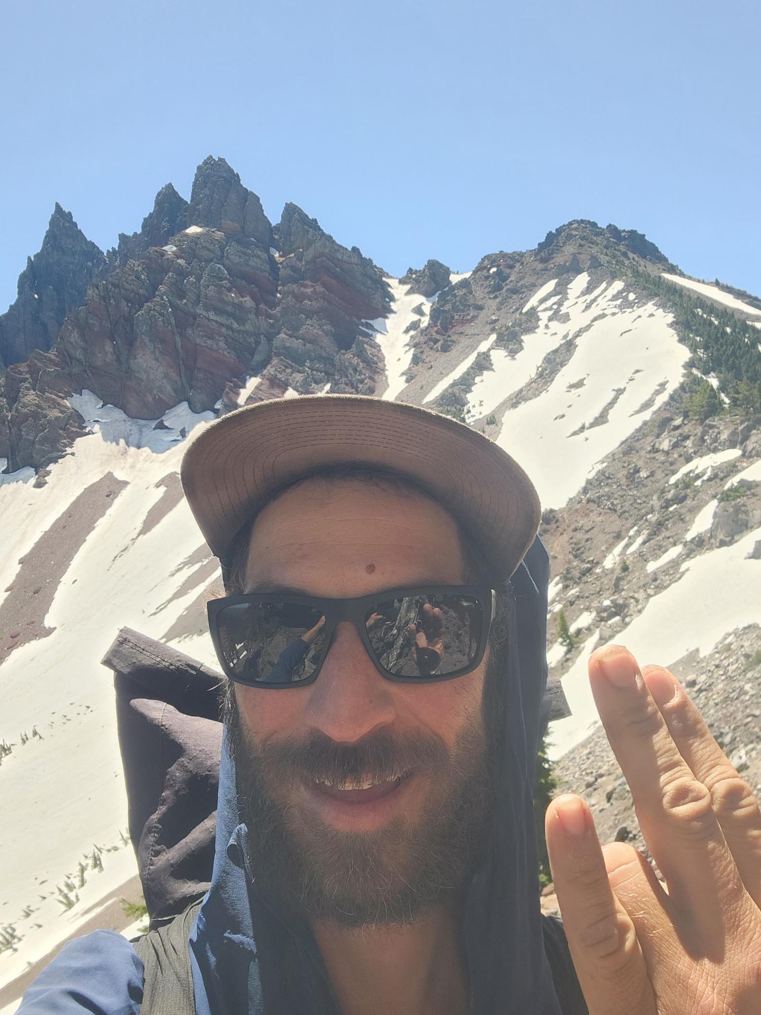
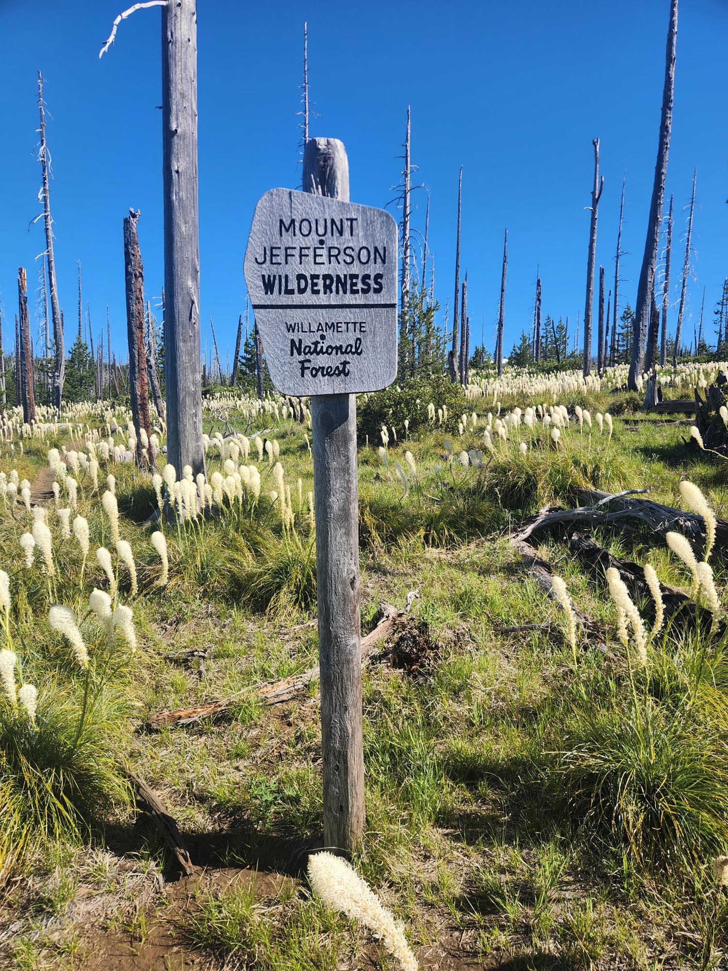
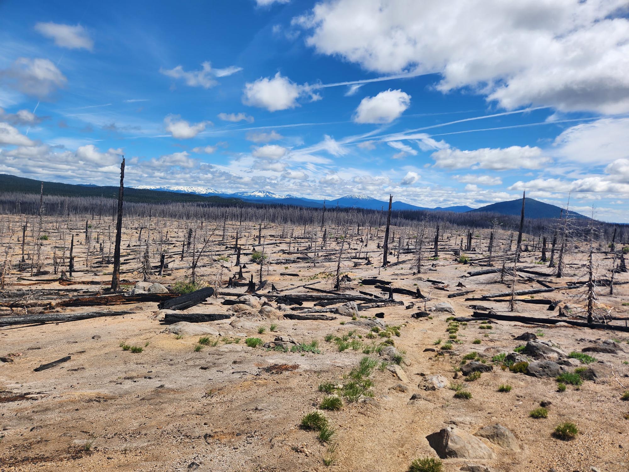
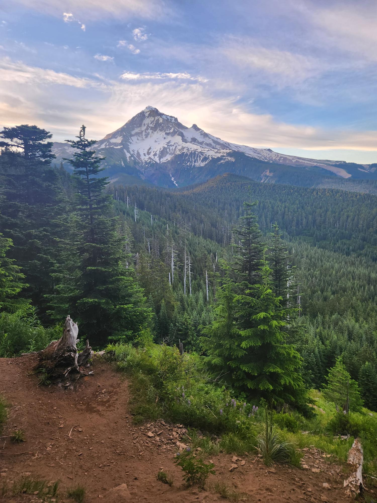
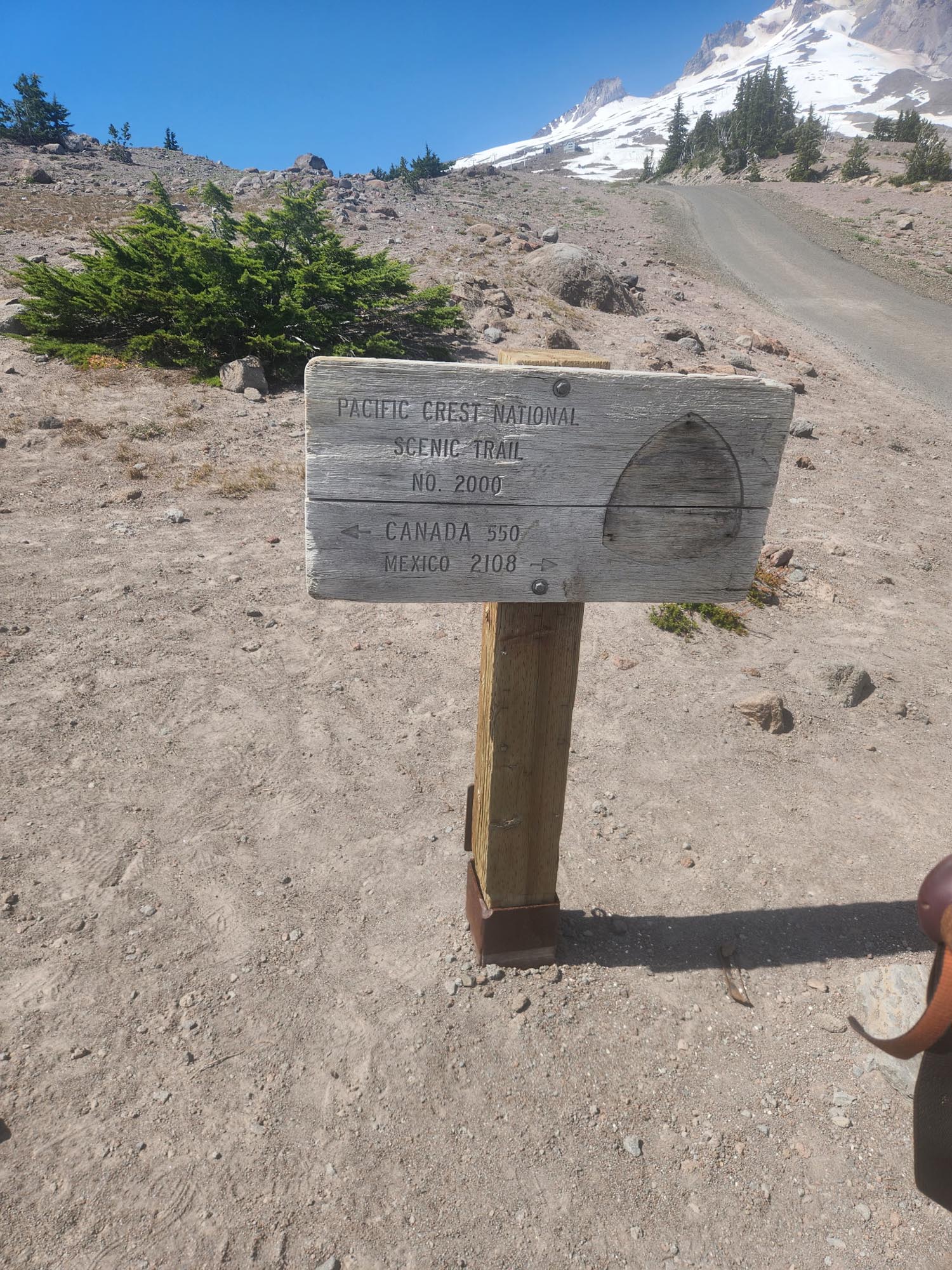
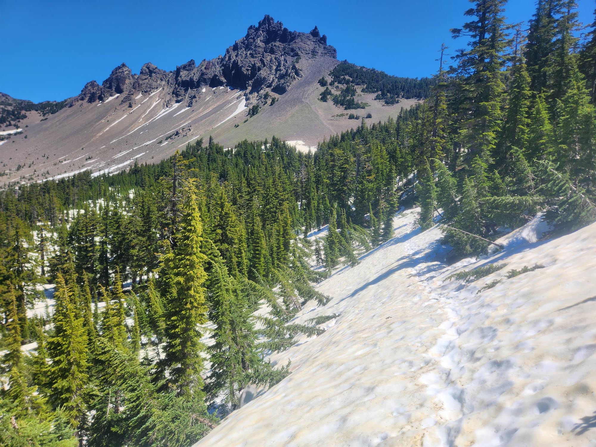
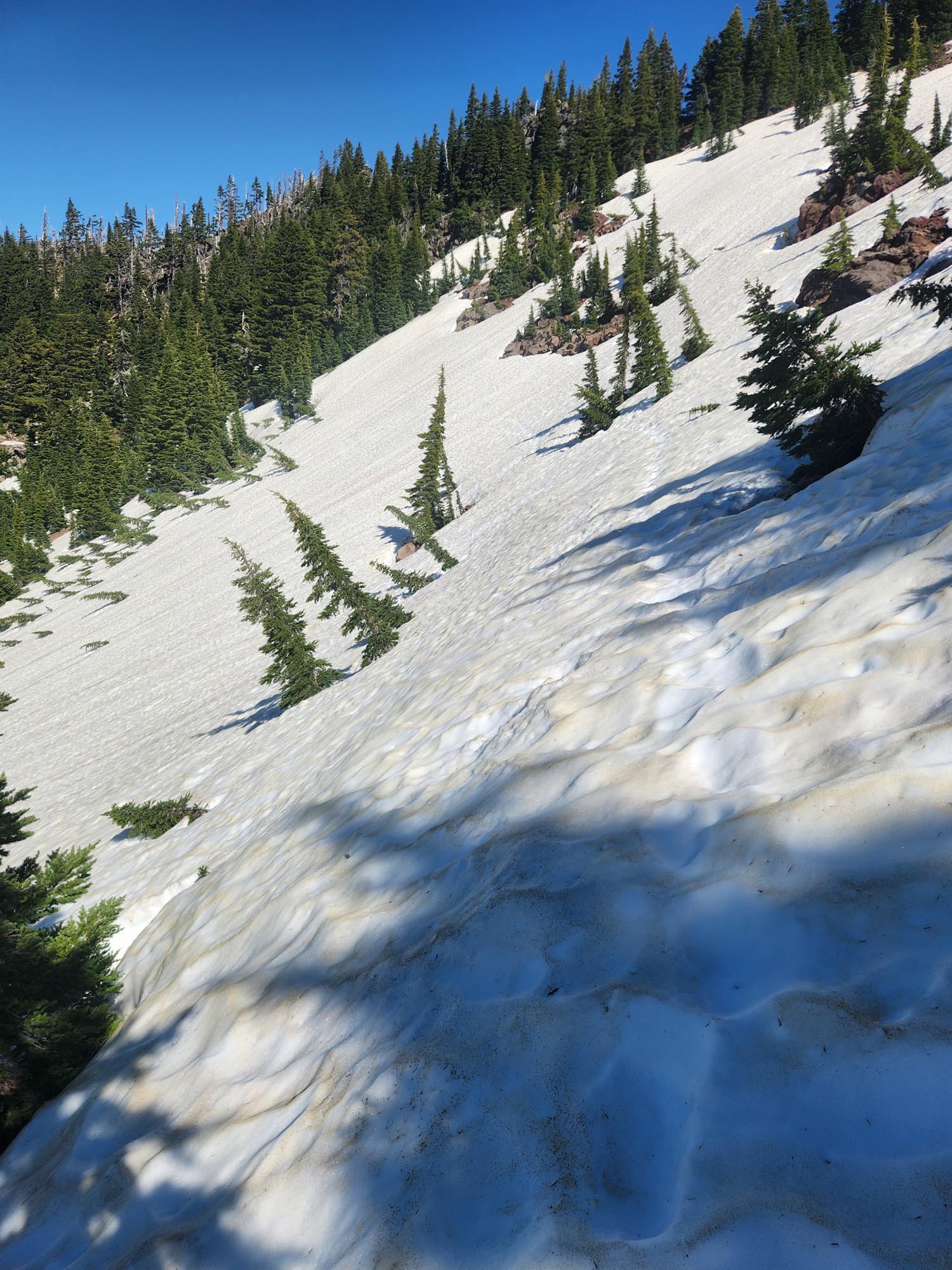
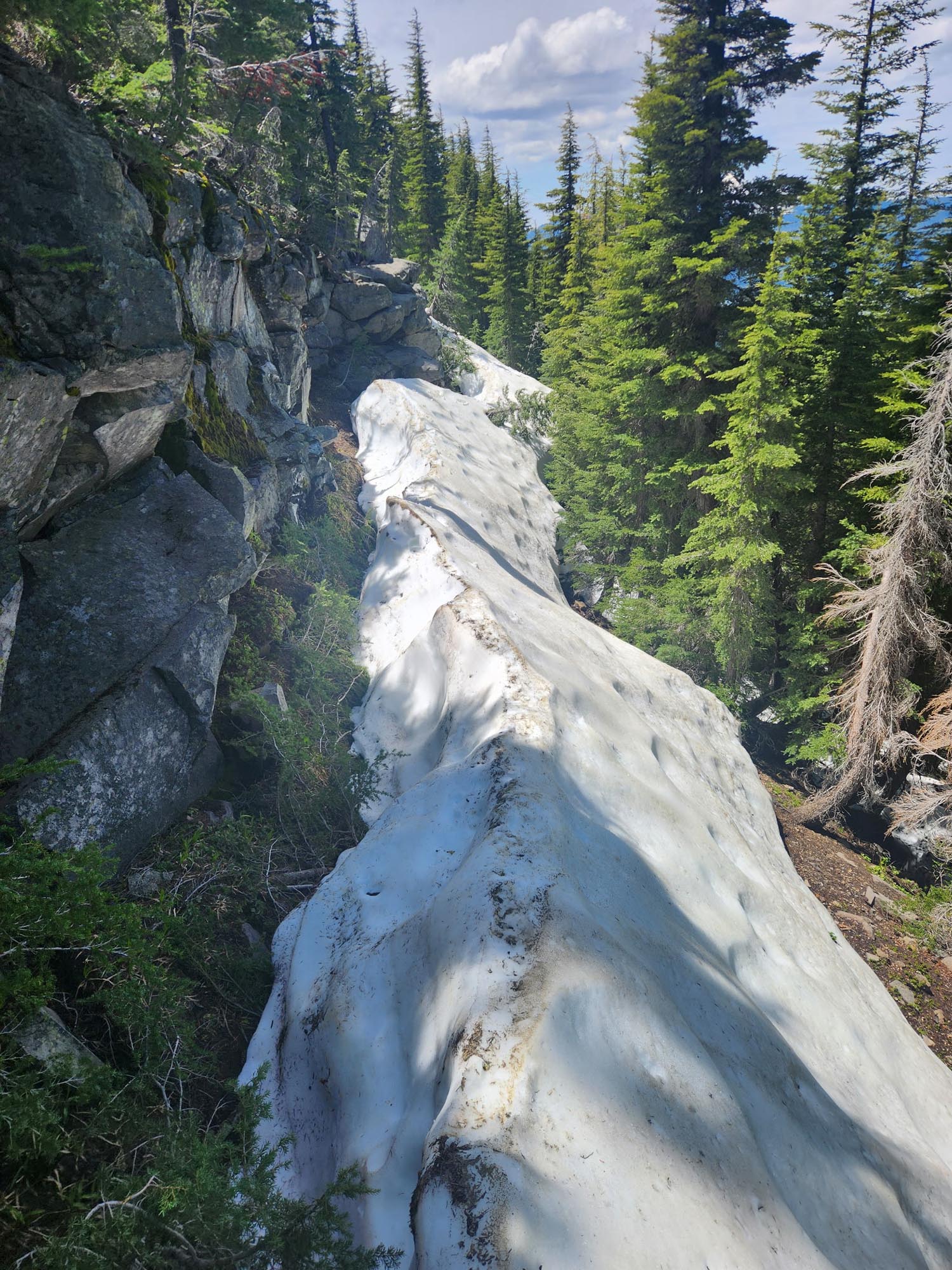
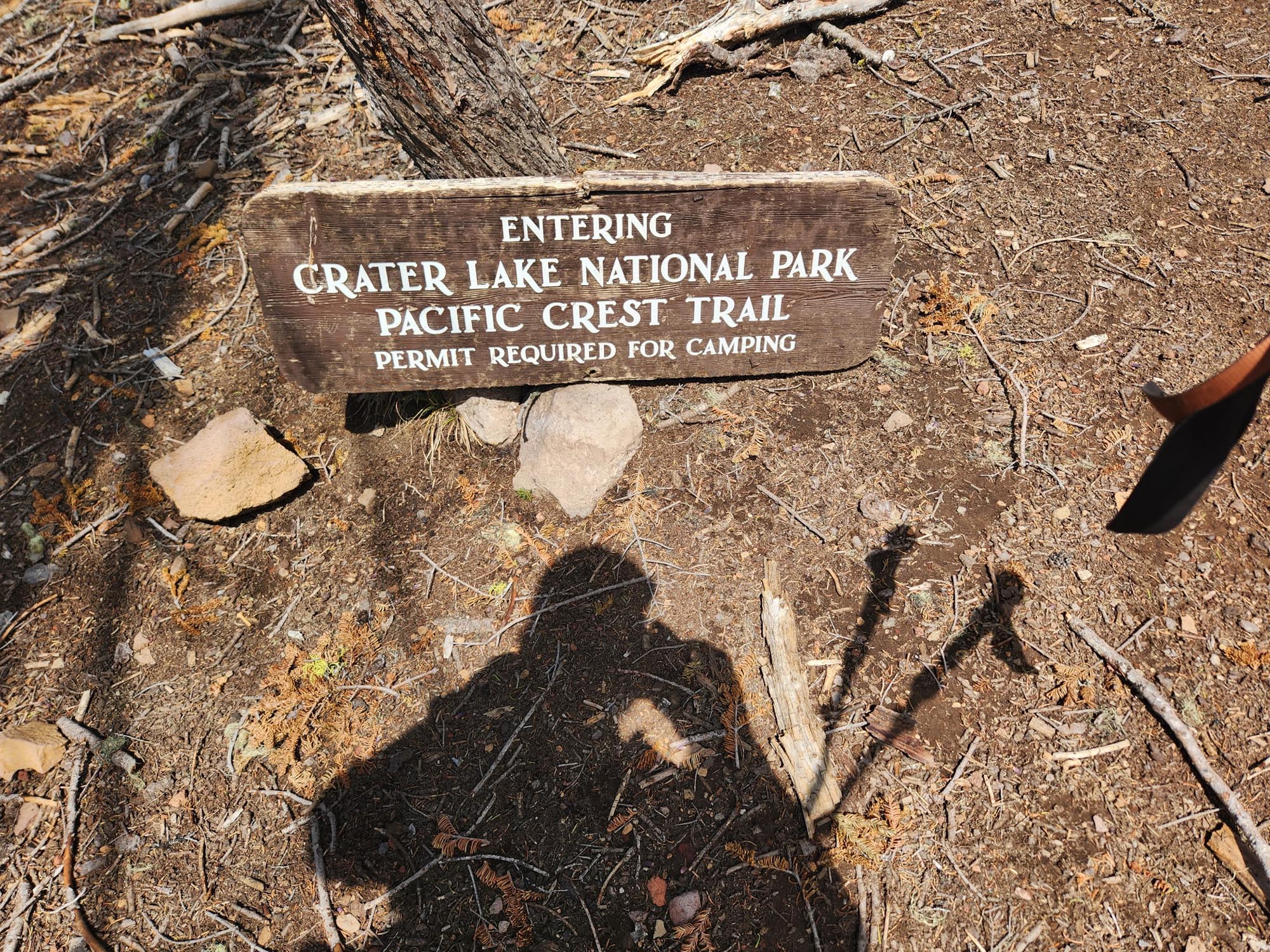
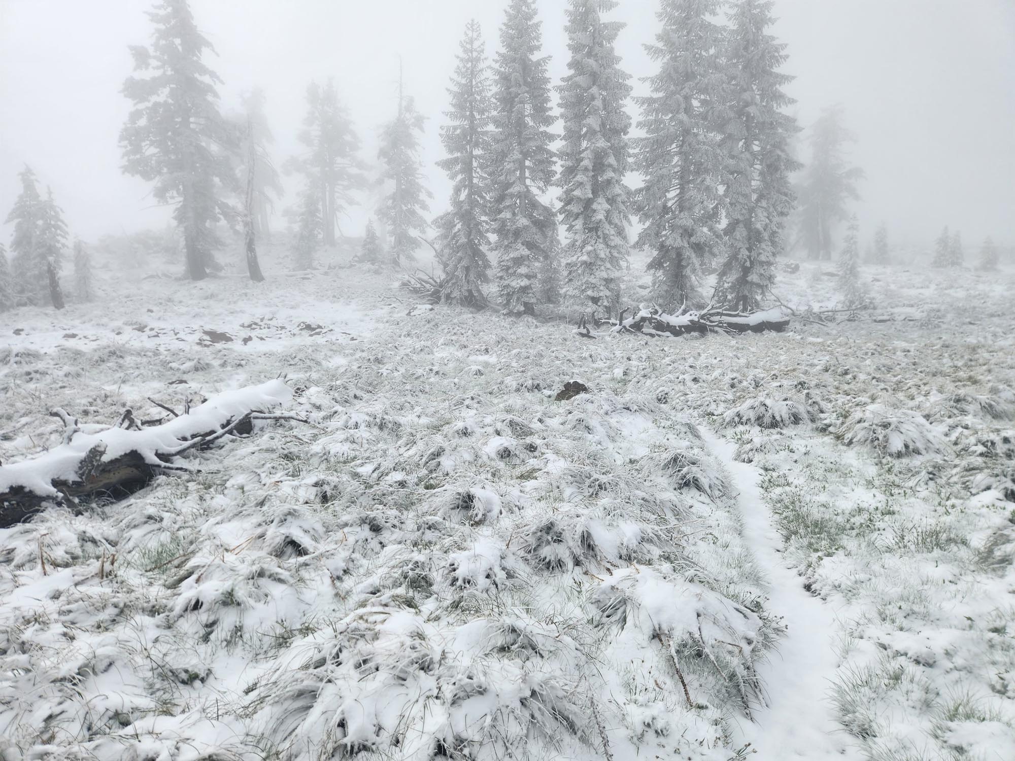
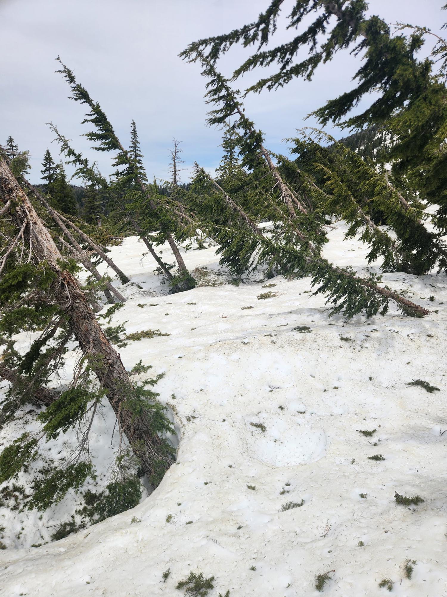
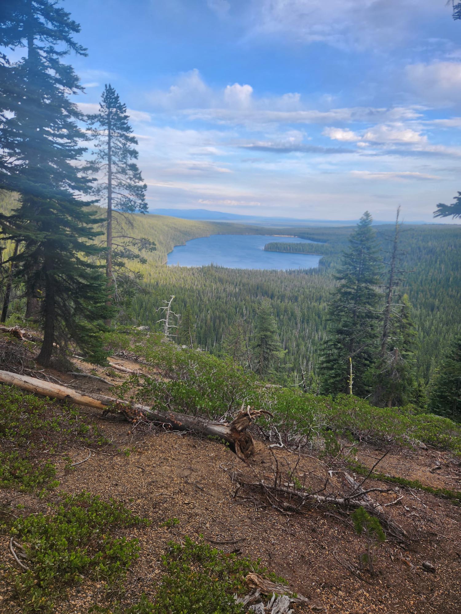
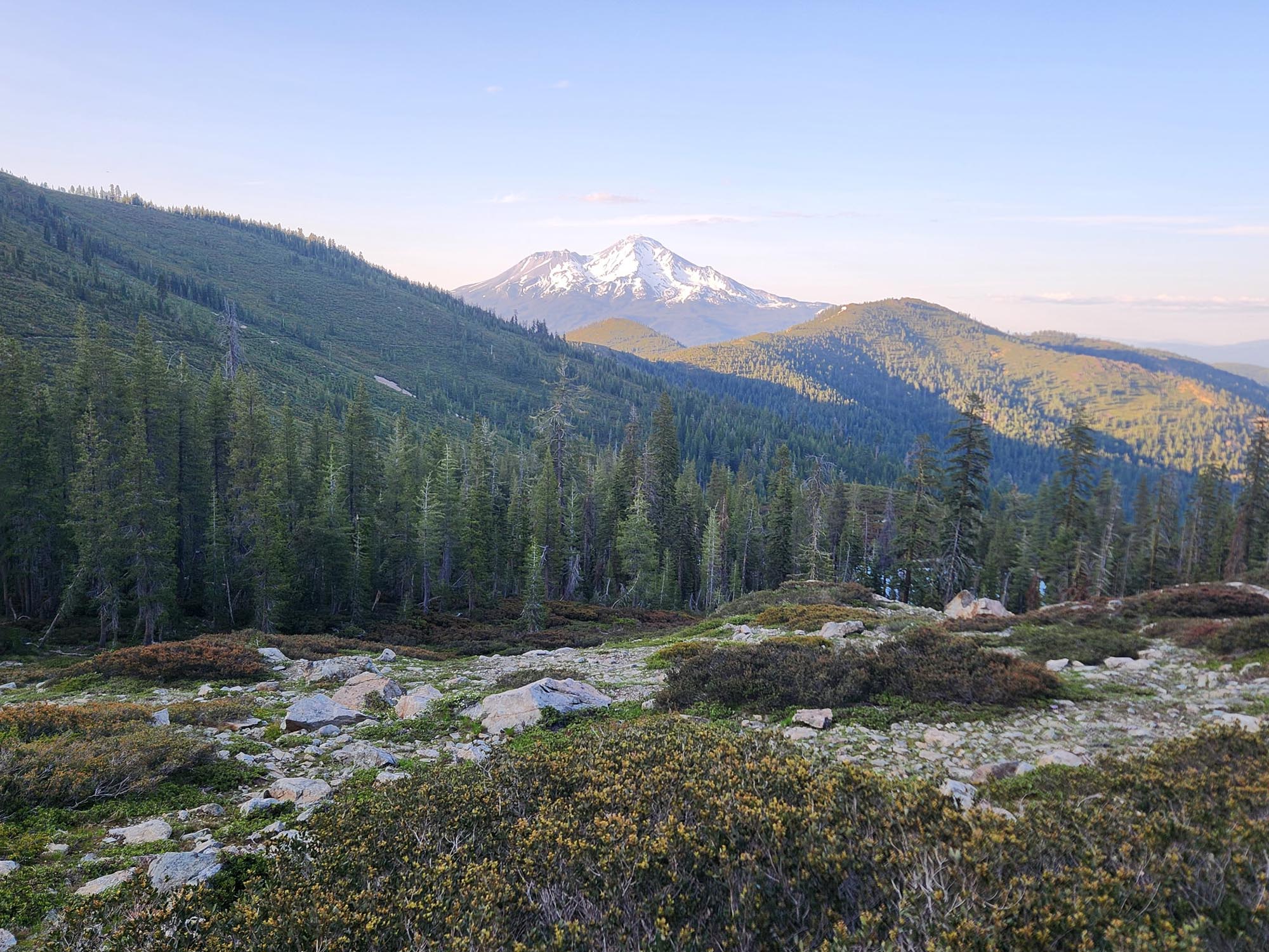
The final day on the PCT. Bittersweet. Over four times doing it—I did the math, and it’s almost 12,000 miles of hiking just on this trail. The weather was perfect, but it was still going to be a hard day: 40.6 to the monument and another 3.6 back to camp. I made it to Hart’s Pass by 9 and met some volunteers who said they could get me to Wenatchee to catch my train on Sunday. So now I had my plan for after the trail. All that was left was to reach the end and get back.

I passed a lot of people starting southbound—no doubt they assumed I was doing the same. My week ended at 2:06 p.m. I still had 18 miles to go, but I figured I’d just write until the end. No doubt most of you know I’ve already finished by now, so I’ll keep writing.

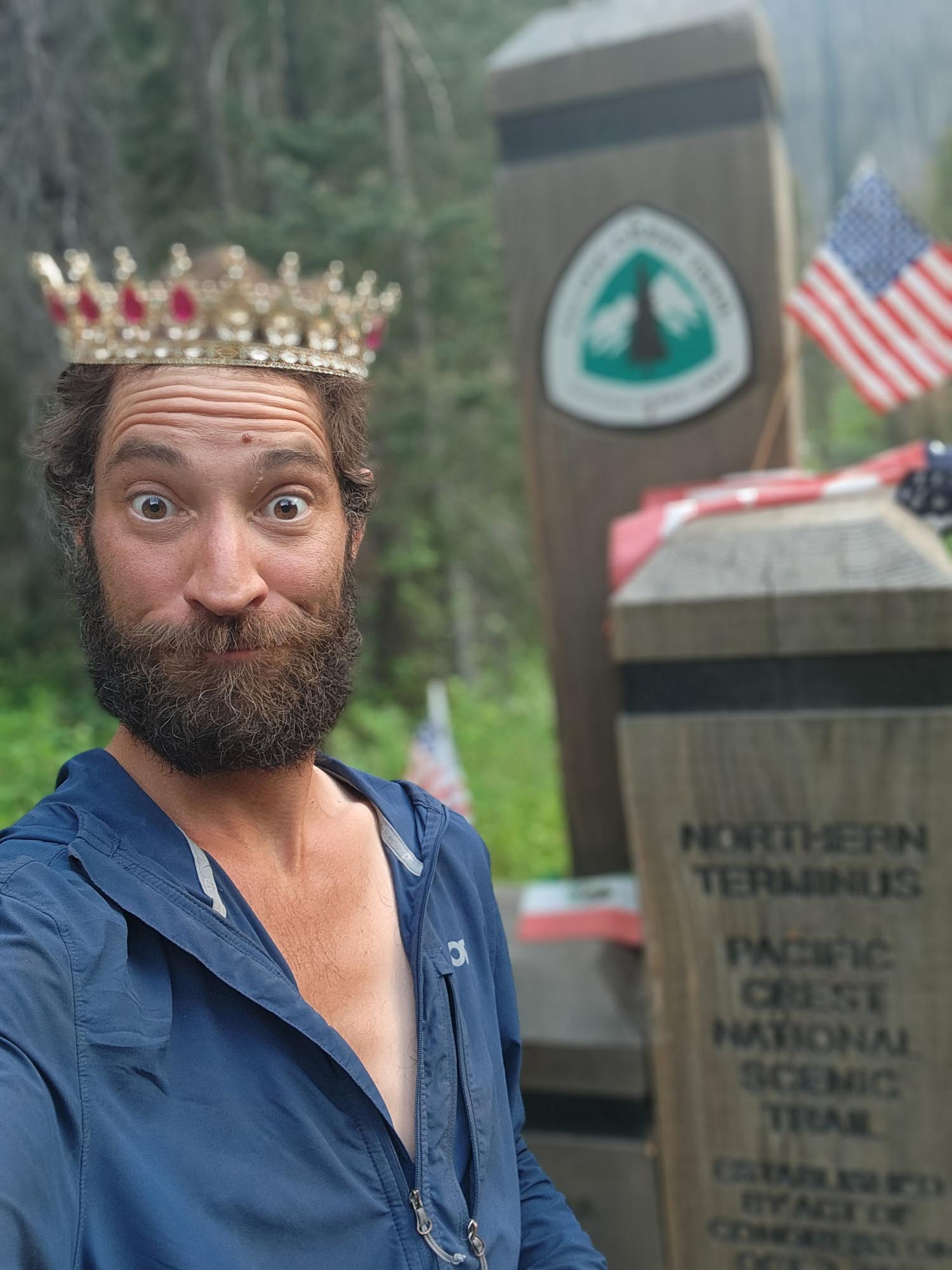
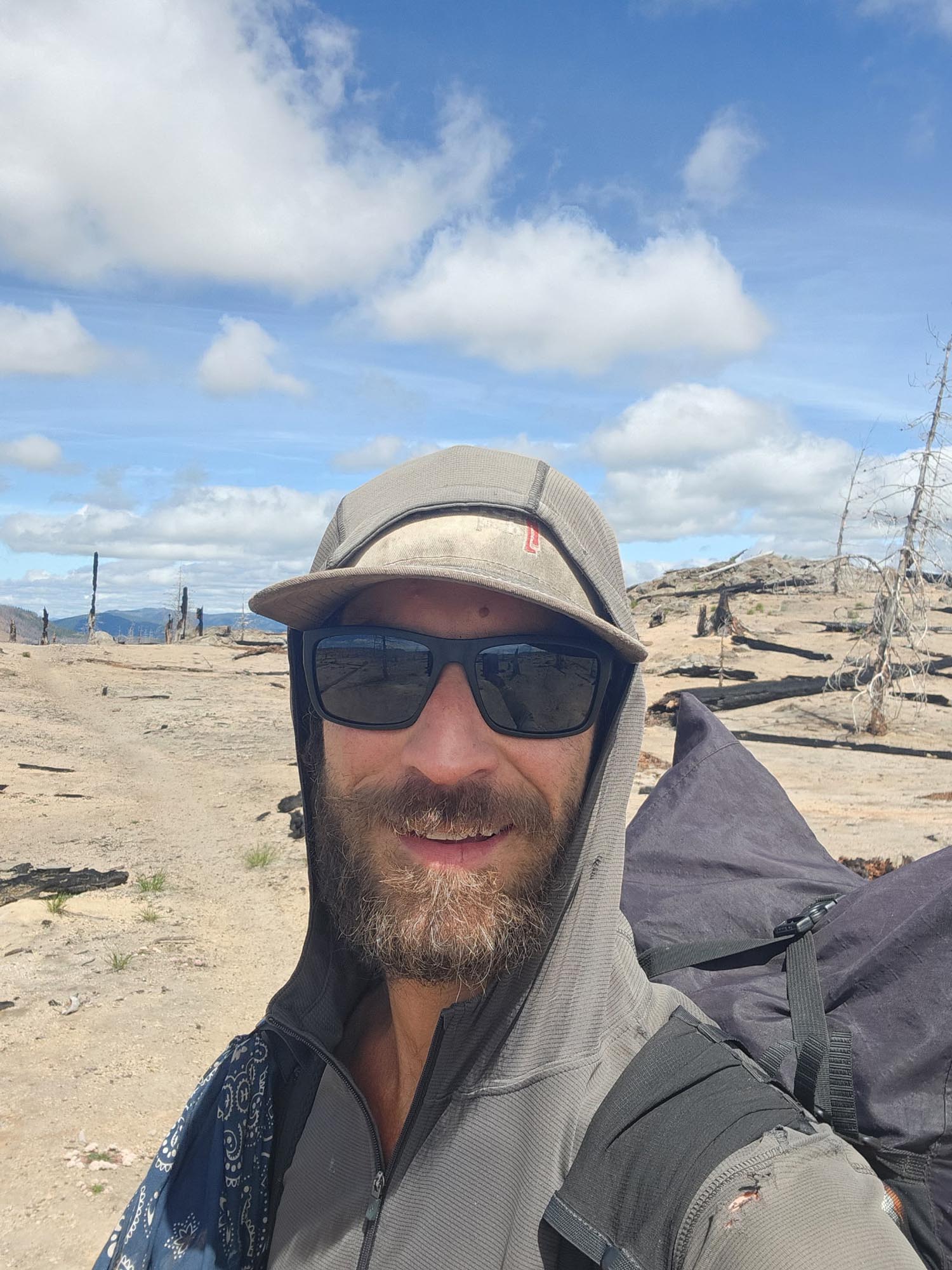
I had met a dude named Coffee Break in Mazama the other day, and I ran into him just before the terminus. He said my hike inspired him to get back on trail earlier and knock out this section. That made me feel good. The trail for the last 5 miles was mostly downhill, which was great—except I’d have to climb that back up soon after. By 8 p.m., I saw the end. I ran to it and tagged that sucker! 77 days and 6 hours. About a day and a half slower than last year, but still pretty damn good.

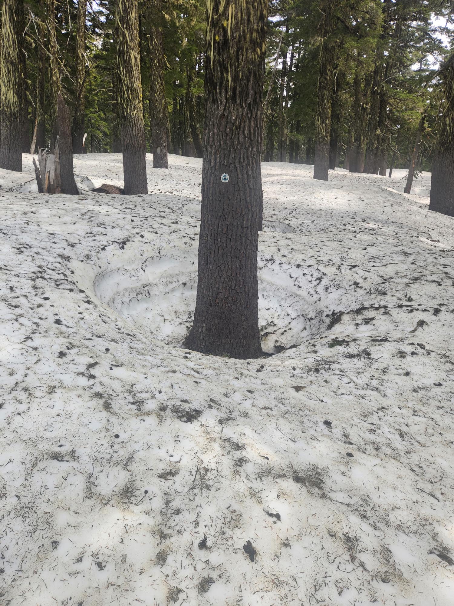
This is my last time doing the PCT. I’ve met amazing people and enjoyed most of the steps. It’s such an unpredictable trail every year with fires and snow, but for the second straight year, I finished first and didn’t get rerouted for fires once—very lucky. To do the PCT over four times is very special—a rare accomplishment.

On to the CDT.


Week 10: Gobbler’s Knob, OR to Pete’s Lake, WA

Week 10 Mileage: 244.3

“Masshole, Savage and Section J”

To start the week, I got stung by a wasp. I was hoping to see my buddy Masshole north of Trout Lake. When I arrived at the toad crossing, I didn’t see a note from him, so I decided to hitch into town. While resupplying, I heard a familiar voice—it was him. He had just arrived in town.

I ate, had a huckleberry smoothie, and we were back on trail by 2. It was great catching up and hiking through the Mt. Adams Wilderness. The mosquitoes were rough, but I started a fire at camp and it kept them at bay.

I said goodbye to Masshole early the next morning and pushed hard. I wanted to get through the Goat Rocks Wilderness and make it to White Pass. The mosquitoes were still relentless, so I upgraded to 100% DEET at the store. After resupplying and eating, I took off into the Mt. Rainier Wilderness—hard hiking and good climbs, with some snow still lingering in spots.

I saw big herds of elk and met my first southbound PCT hiker. He told me everything was clear and that there weren’t any fires to deal with. The trail gets easier for a bit past Rainier, and it’s a good section to make miles before Snoqualmie and Section J—one of the hardest sections on the PCT, even without snow.

Arriving in Snoqualmie, it was raining, cold, and foggy. I decided to stay—it was 4:30 and I was soaked. I got a hotel room, ordered pizza, and relaxed for the night. The next morning, I hit the trail around 10, hiking up to the Kendall Catwalk.

A pretty blonde girl named Savage caught up to me, and we hiked and camped together that night. She had hiked the PCT in ’21, and it was nice to hike with someone for an entire day. She headed back to Snoqualmie the next morning; I continued north.

It was a hot day—in the 90s—very humid and very buggy. I couldn’t quite get it together. I wasn’t hungry either. It was a rough day, and all I wanted was to get to Stevens Pass.


Week 9: 3 Sisters Wilderness, OR to Gobbler’s Knob, OR

Week 9 Mileage: 253.1

“Oversharing?”

At 33 miles in for the day, I was starting to get bored with this section. Sure, ponds and lakes and flat, twisting trails are fine for some people—and normally I welcome that kind of thing—but today, for some reason, I was over it. It might’ve been the fact that I wasn’t going to make it to Elk Lake Resort before the restaurant closed—two days in a row. I was late for Shelter Cove last night, and now this.

It was 5:15 and I had 6.3 miles to the trail junction for Elk Lake. So I did what any normal, sensible hiker would do after 33 miles: I started to trail run. If I wanted to change my situation, I had to act. So I put on some angry music and ran the last 6 miles.

I arrived at Elk Lake, had a pizza and a couple sodas, and was back on trail by 8:10. I did another 6 miles, and once the elevation started to climb and I hit snowpack, I called it for the night at 10:30. With the 3-mile out-and-back side trail, it turned out to be a 48-mile day. I got it done.

Yeah, I got it done alright—more tired than I’ve ever felt. I only hiked 3 miles before stopping to rest my eyes for a bit. That was short-lived, because as I laid there, I felt something moving…down below. I reached down and grabbed something crawling—it was a tick.

The snowpack lasted all day and it was 36 miles to Big Lake Youth Camp, which has a PCT hiker building with a shower, laundry, kitchen, and my resupply box. The challenge was that they lock it at 9 p.m. I had work to do. Pushing through endless miles of white, I stopped briefly for lunch near a waterfall and met a couple of guys who had just hiked Middle Sister. Andrew and Jordan gave me some food they didn’t need, and I took off shortly after.

I had new shoes in that resupply box, and the ones I was wearing were falling apart. Once out of the snow, I hit lava rock for miles. With wet socks and beat-up shoes, I could feel my feet deteriorating. At McKenzie Pass, I swapped my wet socks for dry—but dirty—ones, and that helped. By 8 p.m., I rolled into Big Lake Youth Camp. No one was around; they were all at evening prayer. I made myself at home and got everything done.

I didn’t pack much food in this box because I planned to stop at Olallie Campground to bulk up for the stretch to Cascade Locks. Leaving around 7:15 the next morning, I encountered more snow—sketchy stuff. Comments on this section warned, “Ice axe and microspikes mandatory,” and “I had to turn around.” Slipping, tripping, and falling weren’t rare, but I made it through and arrived at Olallie by 10:30 the next morning.

Olallie is extremely remote and cash only. I’d tried hitching into the town of Sisters the day before to get to an ATM, but had no luck. Luckily, Dennis was sitting on the porch and remembered me from previous visits. He told me to get what I needed and just mail the cash when I could. What a guy.

At noon I was off, with 52 miles to Mt. Hood and Timberline Lodge—known for the all-you-can-eat buffet. This section was easy: no snow, flat, big miles. I clocked over 30 from noon and finished with 45 for the day. I arrived at Timberline at 12:45 the next day. Seeing the cheeseburger at the ski lodge was $27, I opted for the buffet at the hotel for $10 more. The lunch spread was decent and I met Eddy and Oliver—the Swiss and Norwegian hikers—at the buffet. They were the most northern starters on the trail, beginning March 24th, and I’d been trying to catch up to them for a while.

After leaving, I tackled some tough terrain with big ups and downs, pushing to get close to Cascade Locks and the Washington border. One semi-sketchy river crossing and a few more miles brought me to Eddy and Oliver’s camp. I wished them luck and hiked a few miles farther before pitching my tent on a flat switchback turn.

With 36 miles to Cascade Locks the next day, I hit the trail early and pushed hard. I wanted to arrive before the end of month two, but missed it by about 10 miles. Still, I clocked 1,116 miles for the month—30 days I’m very happy with.

At 5:45 p.m., I reached town, excited for Washington and a well-earned break. I went straight to the grocery store and bought all kinds of frozen food. The hotel only had a microwave, so I grabbed Banquet fried chicken, burritos, a salad, strawberries, and bananas. I ate like a pig, checked in, and fell asleep at 7:30, sleeping like a rock.

I didn’t leave town until 2 p.m. the next day. I had a lot to do, and all I wanted the night before was to eat and sleep—and I did just that. With a late start, I tackled the 13-mile climb out of town. Along the trail, something caught my eye. I turned around to find a recently deceased bobcat next to the trail. No blood, no signs of trauma—it looked asleep. I took a video and a photo, then moved on.

I hoped to see my friend Masshole on trail—he was ahead somewhere, and I was motivated to catch him. The weekly alarm rang, and I clocked 253.1 miles. Not bad for a late 2 p.m. start the previous day. Charging through Washington now, with less than 500 miles to the finish!


Week 8: Rogue River National Forest, CA to 3 Sisters Wilderness, OR

Week 8 Mileage: 267.8

PCT Mile: 1938.3

“Trans, Snow and Skeeters”

I wanted to reach the Oregon border by the end of the day. That would be 35 miles, but the elevation gain was over 9,000 feet. By 7 p.m. it started to snow; by 9:30, I called it quits 4 miles from the border, figuring the snow was just a passing fluke. Waking up to 3 inches on the ground was a surprise, and even more surprising was that it kept falling. Most of the day brought steady snowfall, switching to freezing rain and then, briefly, sunshine—only for the clouds to quickly roll back in. I was cold and wearing every layer I had.

My resupply box was at Callahan’s Lodge, just a mile off-trail, and I usually grab it and keep going. But this weather wasn’t typical. As I descended, snow turned to rain—40 degrees and soaking wet is a brutal combo. By the time I reached the road to the lodge, it was absolutely pouring. I could have pushed on and eked out another 6 miles in that misery, but instead I got a ride to Ashland and stayed at the Columbia Hotel—a renovated hostel with music memorabilia on the walls, right in the center of town. My bunk cost only $50, and I met two Australians hiking the trail. Took a hot shower that lasted two minutes before the water went cold… another lame shower experience. I washed and dried everything, got my gear on charge, and headed out for food: large pizza, wings, Caesar salad. Sleeping by 9.

The next morning, one of the Aussies—named “Bush” because he once brought Bush Light to hikers—offered me a ride back to the trail. Before leaving, the front desk person wanted a photo for their “PCT Wall of Fame,” which printed out quickly. I wrote my name and hometown. She asked, “NH?” I replied, “Yeah, where men are men… and so are the women.” No one laughed—not her, not the housekeeper next to me, who was transgender and transitioning. I could tell the comment didn’t land well. For the record, I identify as funny, so the fact that they didn’t laugh offended me too. Bush chuckled at the whole exchange, and by 9:45 I was back on trail and moving well.

Crater Lake was 100 miles ahead. I know this section—it’s a cruiser. Staying low in elevation, it avoids most snow, but it’s sparse in water sources. A lot of ponds and lakes, but not many large flowing streams. Stretches of 10 to 20 miles without water aren’t uncommon here. I pulled a 46.5-mile day, landing me perfectly at Crater Lake the next afternoon. Arrived at 3 p.m., went into the camp store, and they had my resupply box! Relieved, I signed for it and heard someone ask in a high-pitched voice, “Is the trail everything you hoped it would be?” I looked up to see a man in a dress. I said, “Yeah dude, a lot of snow the last 20 miles.” It’s still a mental shift—to see someone presenting differently and adapt my response mid-thought. I’m old school, still navigating the learning curve.

After eating a bison burger and a slice of cheesecake, I hit the trail again. The PCT doesn’t pass close to Crater’s rim, and since I’d been up there three times already, I was fine skipping it. The section I did was flat and pleasant aside from a few blowdowns. Happy to knock out 37 miles after a two-hour break.

Next day I cruised to the Mt. Thielson Wilderness. Not much water through here, but two caches helped. I met a defeated section hiker heading out—his Achilles was acting up. Reminded me of my own struggles before Big Bear Lake. I told him to try compression socks and Advil, but I could tell he’d mentally checked out.

I pushed toward Thielson. Snow started around 6,500 feet and continued for the next 20 miles. It was tough, but I had to reach Shelter Cove Campground by Thursday night. Trail below 6,500 was clear but packed with mosquitoes; above that, it was snow-covered. Diamond Peak Wilderness was slow-going with post-holing and deep snow, burning more food and energy. Still, I made it to the store by 6:15, not knowing it closed at 6. Luckily, the guy inside let me quickly resupply with card payment. $8 for a bag of Doritos—everything was insanely overpriced. But then a lady invited me to her campsite.

Maggie and Kevin were great—gave me sodas and food. Their baby boomer friends had lots of deep questions: Why do I do it? What do I think about on trail? What are my plans afterward? After 32 miles through snow, my mind was a bit fried. To answer those, you’d have to be there.

Maggie and crew drove me back up to the trail, and I squeezed out another 8.2 miles by 10:30, putting me 39 miles from Elk Lake Resort. The next section was flat and easy—low elevation, mosquito-heavy. I was drenched in bug spray and wore my bug net for the first time. By the time my alarm went off at 2:06 p.m. to end the week, I was proud of my weekly mileage total: 267.8. Even with the unexpected stop in Ashland, I was very satisfied.


Week 7: Lassen National Park, CA to Rogue River National Forest, CA

Total Weekly Mileage: 269.5

PCT Mile: 1670.5

“A Dying Breed”

I was at mile 1401. My shoes? Mile 1502, thanks to a 2-mile side trail. The ones I was wearing? Toast. After trudging through snow for 400 miles, the glue holding the sole together had given out—and I still had 100 miles to go. This was Friday at 2 p.m.

I called KellyFish, the owner of Castle Crossroads in Dunsmuir, just east of my shoes and west of Mt. Shasta. Told her I needed a spot for Sunday night. Aggressive? Sure. But slowing down to hobble along in trashed shoes wasn’t appealing either—may as well push hard and hope they held up. Fortunately, this section through Lassen isn’t too bad—pretty flat, with limited water unless you want to hike 0.3 miles down into a canyon. I hit a water tank and chatted with an Aussie couple starting from Chester. They said they were ultrarunners but taking it easy to start. The guy had some gnarly blisters—awful for hiking. I gave him a pair of five-toe liner socks I wasn’t using; it would help reduce the rubbing from his Smartwools. I told them to pick up the pace unless they wanted to be dodging fires, then I took off.

That night, I aimed for Burney Mountain Guest Ranch. I needed water, charging, and a light resupply. Christina and her husband are amazing people. I’d met them the previous year, and they had just opened back then. I’d wished I could stay longer, and this year was the same—great place, wrong timing. That’s one of the toughest parts for me out here: seeing familiar people I’d love to spend time with, but knowing I can’t. So I do my best to make the most of the moments I have.

As soon as I showed up, Christina recognized me—said a few hikers had mentioned I was heading north. She handed me a Dr. Pepper. Her husband, Lehen, noticed how wrecked my shoes were. He went into his shed, grabbed some supplies, and caulked between the sole and upper before duct-taping the whole thing. It bought me the next 100 miles. I went inside for an ice cream sundae and couldn’t resist the seafood buffet—absolutely incredible stop. Charged up, resupplied, full belly, and my green handprint now on the water tank of fame. As hard as it was, I hit the trail again at 7:30 p.m.

The next day, I went big. I’d booked a bed at the Dunsmuir Crossroads Hostel the day before, which meant I had to log big miles to arrive by Sunday night around 8 p.m. I pulled a 42, then a 44, then a 38—arriving by 7:15. KellyFish picked me up, took me to grab my shoes and resupply at Dollar General—or, as she calls it, “The Dirty G.”

I met Ugly Stick at the hostel, along with two Germans having a very good time. They’d say something in German, then giggle for five straight minutes. It was hilarious. Ugly Stick was the first through the Sierra this year—breaking trail in snowshoes. A true thru-hiker. He’s kept a continuous footpath despite slicing his leg open (needed stitches), getting blistered so badly he had to hike with a cane, and taking a few days off. But he never broke the chain. A rare breed these days, with all the skipping and flip-flopping going on.

I got a late start out of town. My goal was to knock out the 155 miles to Seiad Valley by Thursday night. That way I could reach the RV park, charge up overnight, resupply early, and start the big climb out. KellyFish dropped me at 11:30—late start—which meant I’d need a string of huge days to make it. The climb out was rough. I’d packed a lot of food, so the weight was punishing. Still managed 25 miles, with the last 3.5 gaining over 1,000 feet.

The next day? Into the 40s. Then a 44 on Wednesday. By Thursday morning, I had 39 miles to go to reach the road—and another 6 miles of roadwalking into Seiad. I pushed hard, through blowdowns and burn zones. By 9 p.m., I hit the road.

Earlier that day, a section hiker had told me about Brian, who lets hikers stop by his place—right on the road into town. I didn’t think much of it at the time, but by mile 42 I was ready to be done. I reached the sign at his driveway: “Trail Magic.” All the lights were off—it was 10 p.m. I walked onto the deck and found a note that read: “Make yourself at home. Charge your things. Have a drink. You can sleep on the deck.” I did all that, and I was beyond relieved I didn’t have another 2 miles left.

Next morning, I was at the store by 6:30. They didn’t open until 7, but Joshua let me buy what I needed. After organizing my pack and eating two burritos, I headed out. Spotted a Porta John on the side of the road and made full use of it—always grateful to save my quads from a cat-hole squat.

With food to last me, everything charged, and a couple pounds lighter, I began the climb. It’s a beast—gaining over 3,000 feet in 8 miles. Thankfully, the weather was cool and breezy. I’ve done it in full sun before, and it’s brutal. When I reached the top, I stopped at the forest road and chatted with a couple of dirt bikers. From there, I kept pushing—crawling over blowdowns and wrapping up one huge week. Almost to Oregon.